Rodhuish Common
Downs, Moorland in Somerset Somerset West and Taunton
England
Rodhuish Common
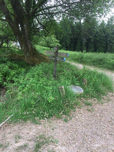
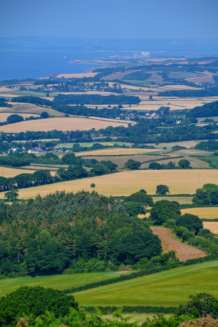
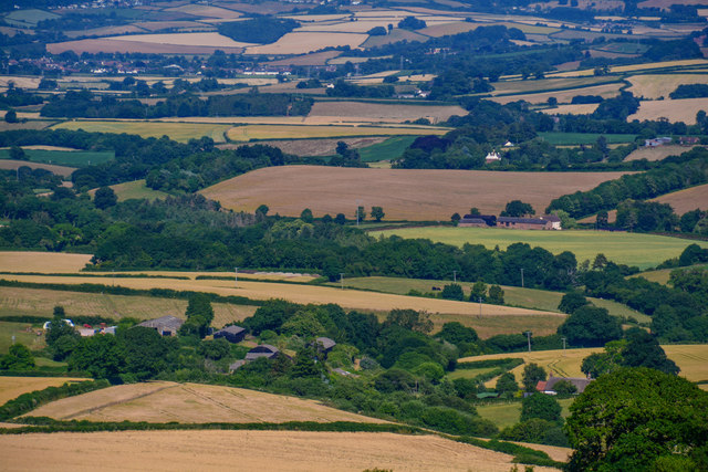
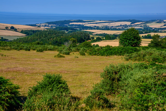
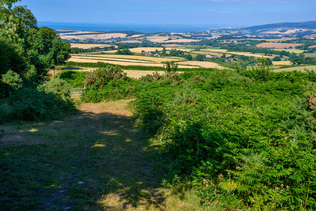
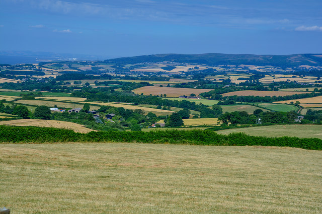
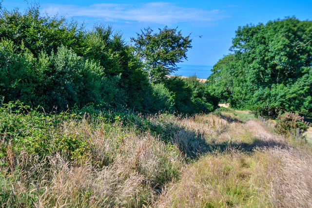
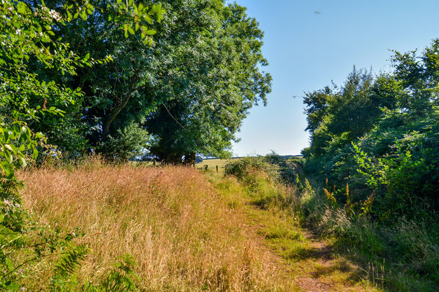
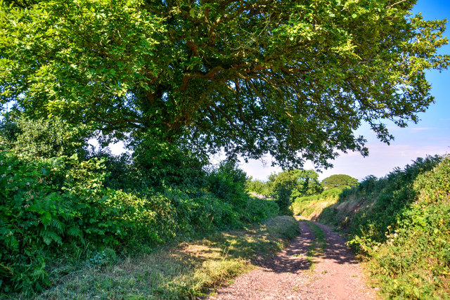
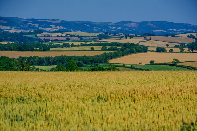
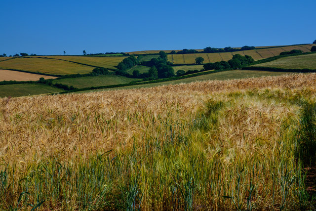
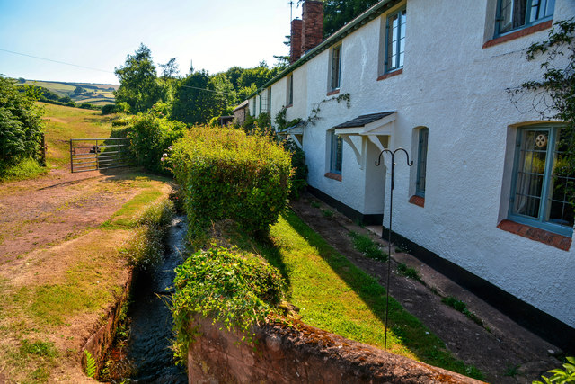
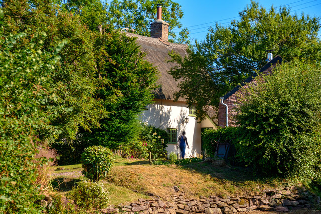
Rodhuish Common is a picturesque area located in Somerset, England. This vast expanse of land is characterized by its stunning combination of downs and moorland landscapes. The common stretches across an area of approximately 100 hectares and offers a diverse range of habitats for both wildlife and plant species.
The downs of Rodhuish Common are gently rolling hills covered in a mix of grasses and wildflowers. These open grasslands provide ideal conditions for a variety of bird species, including skylarks and meadow pipits. Visitors can often spot these birds soaring high above the common, creating a melodious soundtrack to the surroundings.
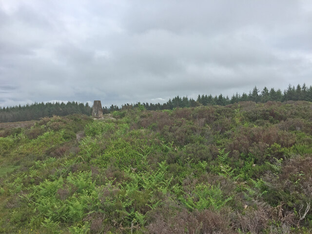
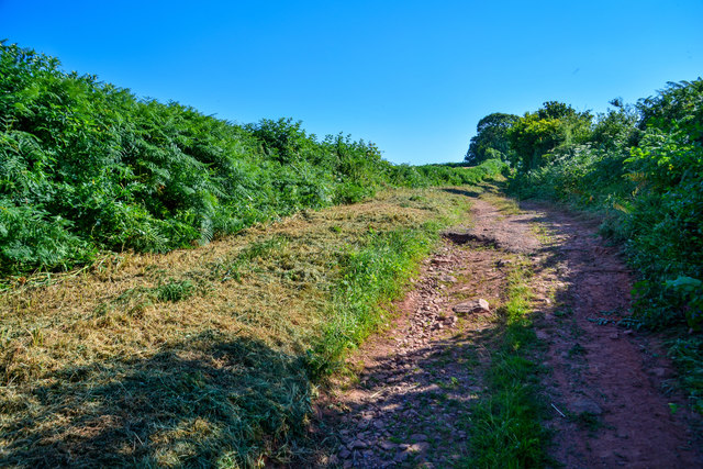
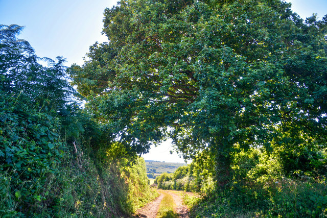
In contrast, the moorland areas of Rodhuish Common are characterized by heather, gorse, and bracken. These dense and vibrant vegetation patches provide shelter and food for a range of insects, reptiles, and small mammals. The moorland is also home to several species of orchids, which add a splash of color to the landscape during the summer months.
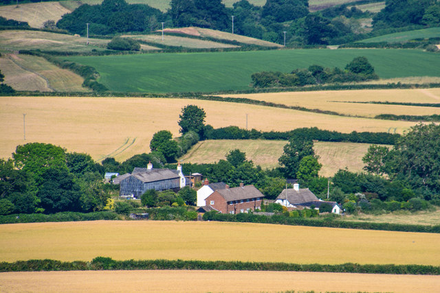
Rodhuish Common is a popular destination for nature enthusiasts and walkers alike. Its extensive network of footpaths allows visitors to explore the diverse habitats and enjoy the beautiful views it offers. Additionally, the common provides an important grazing area for livestock, contributing to the preservation of traditional farming practices in the region.
Overall, Rodhuish Common is a haven for biodiversity, offering a unique blend of downs and moorland landscapes. Its natural beauty and ecological significance make it a valuable asset to Somerset's countryside.
If you have any feedback on the listing, please let us know in the comments section below.
Rodhuish Common Images
Images are sourced within 2km of 51.147319/-3.4362096 or Grid Reference SS9939. Thanks to Geograph Open Source API. All images are credited.
Rodhuish Common is located at Grid Ref: SS9939 (Lat: 51.147319, Lng: -3.4362096)
Administrative County: Somerset
District: Somerset West and Taunton
Police Authority: Avon and Somerset
What 3 Words
///silently.clutter.notch. Near Minehead, Somerset
Nearby Locations
Related Wikis

Rodhuish Common
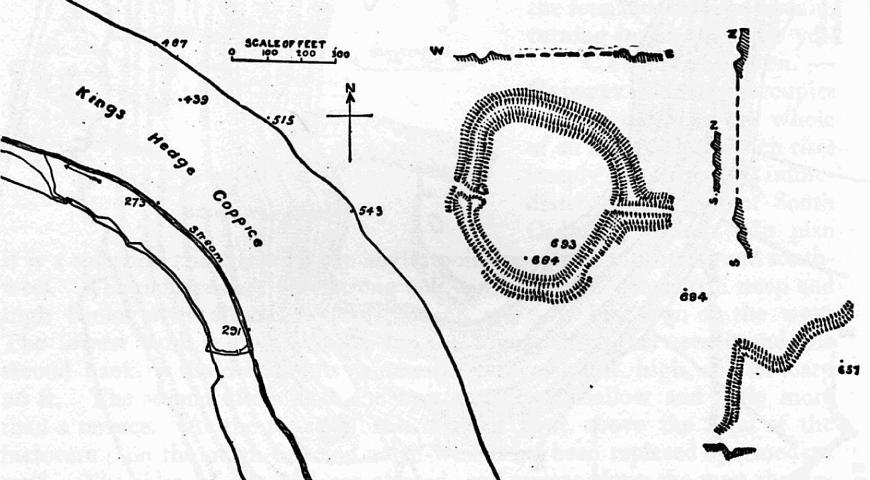
Rodhuish Common is a univallate Iron Age hill fort in the West Somerset district of Somerset, England. There is a small oval enclosure which is thought...

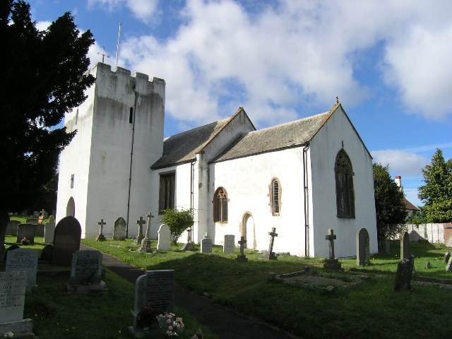
Church of St Bartholomew, Rodhuish
The Anglican Church of St Bartholomew in Rodhuish, Somerset, England was built in the 15th century. It is a Grade II* listed building. == History == The...

Luxborough
Luxborough is a small village and civil parish located some 6 miles (9.7 km) south of Dunster, lying amongst the Brendon Hills and the Exmoor National...
Withycombe
Withycombe is a village, civil parish, and former manor 2.5 miles (4 km) south east of Dunster, and 5 miles (8 km) from Minehead within the Exmoor National...
Bat's Castle
Bats Castle is an Iron Age hillfort at the top of a 213 metres (699 ft) high hill in the parish of Carhampton south south west of Dunster in Somerset,...

St Mary's Church, Luxborough
The Anglican St Mary's Church at Luxborough within the English county of Somerset dates from the 13th century. It is a Grade II listed building.The chancel...

Long Wood Enclosure
Long Wood Enclosure is an enclosure which may have been a univallate Iron Age hill fort, in the West Somerset district of Somerset, England. The hill fort...

Carhampton
Carhampton is a village and civil parish in Somerset, England, 4 miles (6.4 km) to the east of Minehead. Carhampton civil parish stretches from the Bristol...
Have you been to Rodhuish Common?
Leave your review of Rodhuish Common below (or comments, questions and feedback).