Rabbit Warren
Downs, Moorland in Brecknockshire
Wales
Rabbit Warren

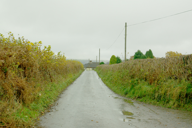
Rabbit Warren, located in the county of Brecknockshire, is a picturesque area known for its stunning downs and moorland landscapes. Spread over a vast expanse, this region offers a unique blend of natural beauty and wildlife.
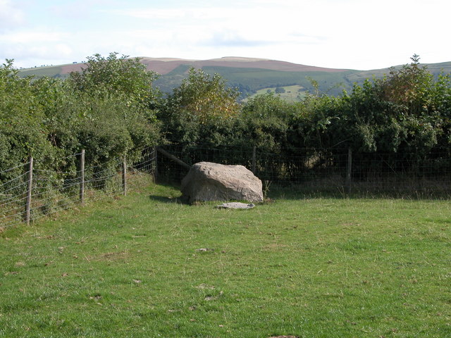
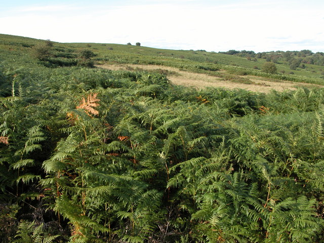
The downs of Rabbit Warren are characterized by rolling hills covered in lush green grasses and dotted with wildflowers during the summer months. The undulating terrain provides breathtaking panoramic views of the surrounding countryside, making it a popular destination for hikers and nature enthusiasts. The moorland areas, on the other hand, exhibit a rugged and wilder environment with heather-covered hillsides and rocky outcrops.
One of the notable features of Rabbit Warren is its diverse wildlife population. The region is home to various species of birds, including skylarks, peregrine falcons, and kestrels, making it a haven for birdwatchers. Additionally, the downs and moorland provide ideal habitats for rabbits, which have thrived in this area for centuries, giving the region its name.
Visitors to Rabbit Warren can explore a network of footpaths and trails that crisscross the landscape, allowing them to enjoy the scenic beauty while observing the local flora and fauna. The region also offers opportunities for outdoor activities such as cycling, horseback riding, and picnicking.
Overall, Rabbit Warren in Brecknockshire is a captivating destination that showcases the natural wonders of downs and moorland landscapes. Its rich biodiversity and stunning vistas make it a must-visit for those seeking a tranquil and immersive experience in the heart of the countryside.
If you have any feedback on the listing, please let us know in the comments section below.
Rabbit Warren Images
Images are sourced within 2km of 52.147872/-3.4842383 or Grid Reference SN9850. Thanks to Geograph Open Source API. All images are credited.


Rabbit Warren is located at Grid Ref: SN9850 (Lat: 52.147872, Lng: -3.4842383)
Unitary Authority: Powys
Police Authority: Dyfed Powys
What 3 Words
///whiplash.raced.flickers. Near Builth Wells, Powys
Nearby Locations
Related Wikis

Llanfechan
Llanfechan is a small church settlement in the community of Treflys, consisting of a church and a farm, and the surrounding area, it is beside the A483...
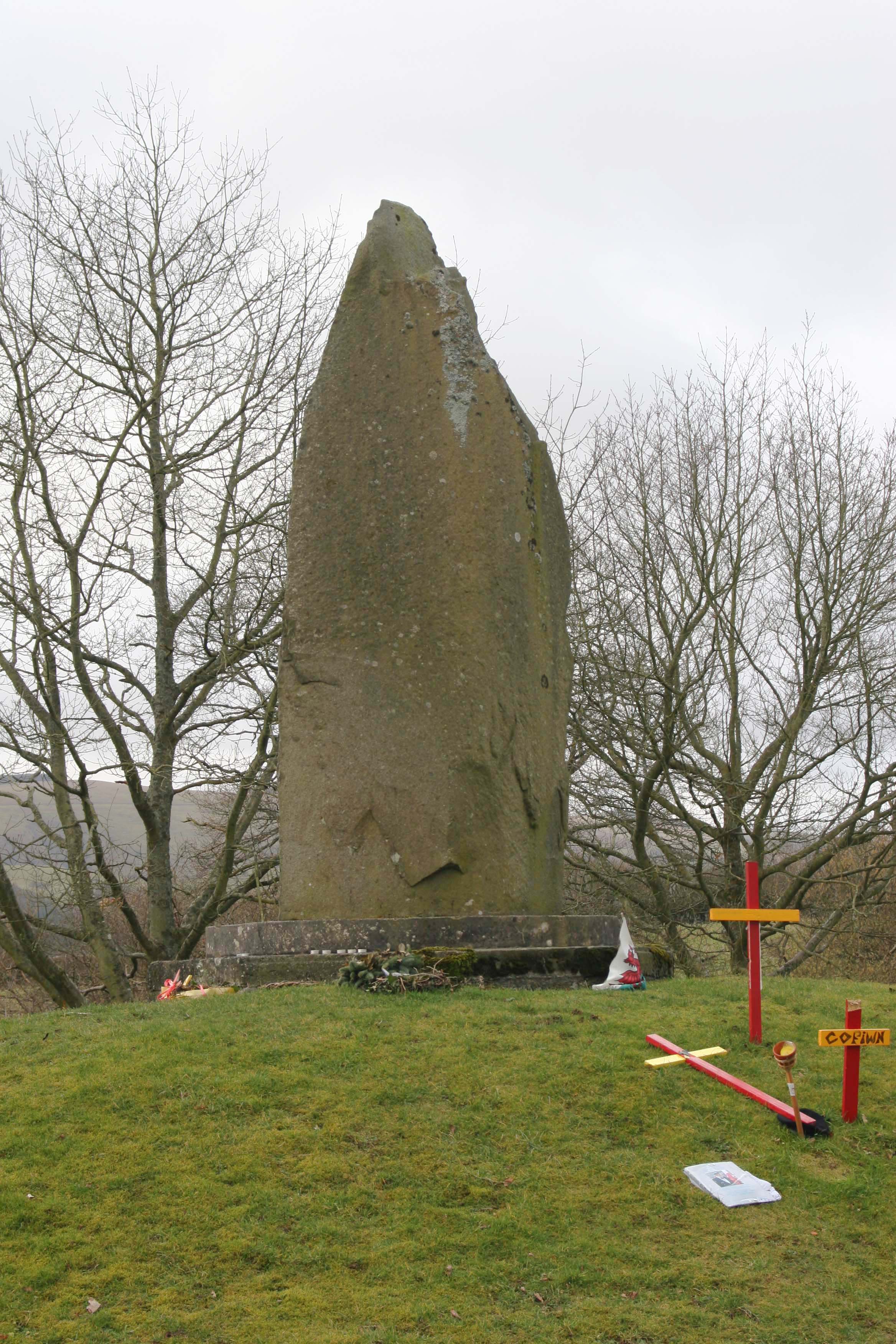
Battle of Orewin Bridge
The Battle of Orewin Bridge (also known as the Battle of Irfon Bridge) was fought between English (led by the Marcher Lords) and Welsh armies on 11 December...
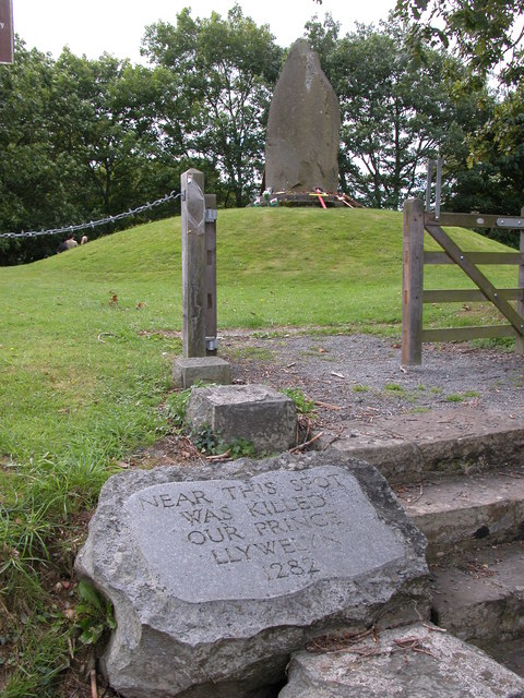
Cilmeri
Cilmeri is a village and community in Powys, mid-Wales, United Kingdom in the historic county of Brecknockshire, two and a half miles west of Builth Wells...
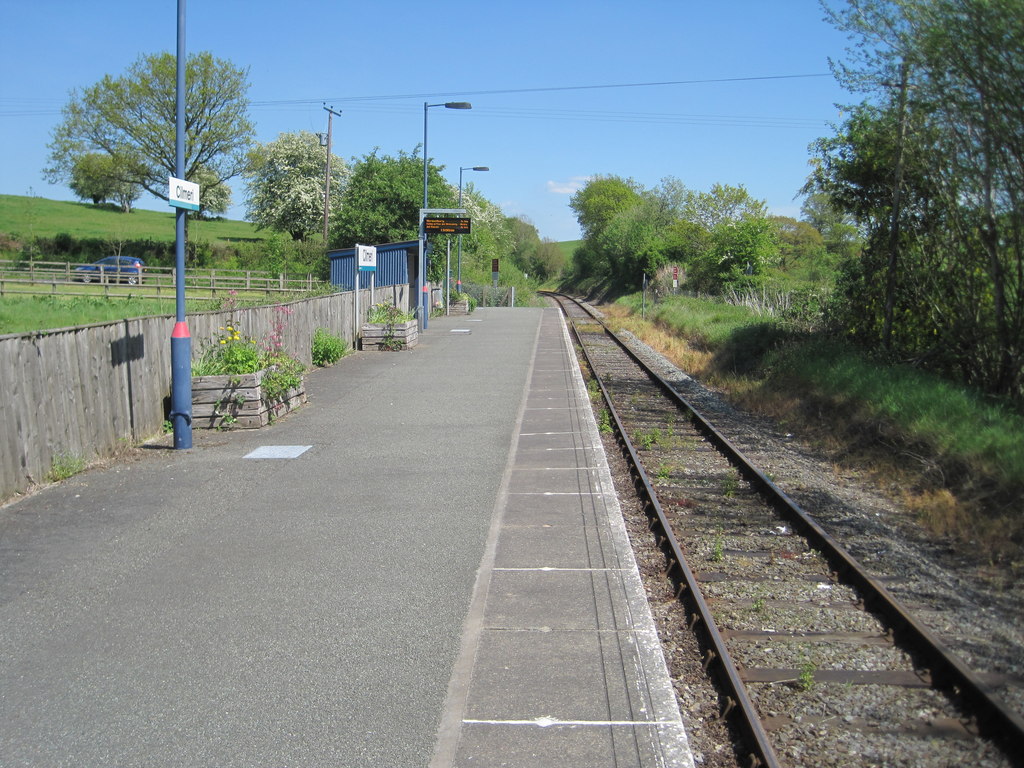
Cilmeri railway station
Cilmeri railway station is a railway station serving the village of Cilmeri, in Powys, mid Wales. It is situated on the Heart of Wales Line 59+1⁄2 miles...
Nearby Amenities
Located within 500m of 52.147872,-3.4842383Have you been to Rabbit Warren?
Leave your review of Rabbit Warren below (or comments, questions and feedback).