Richard's Island

Downs, Moorland in Perthshire

Scotland

Richard's Island

Kinnaird House & Grounds Looking north from the B898 to Kinnaird House.
Kinnaird House & Grounds Credit: Scott Cormie

The requested URL returned error: 429 Too Many Requests

If you have any feedback on the listing, please let us know in the comments section below.

Richard's Island Images

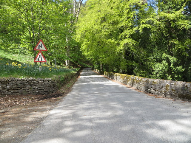
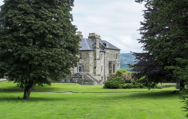
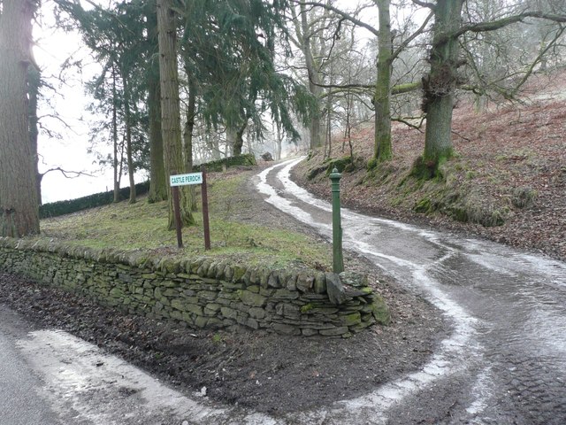
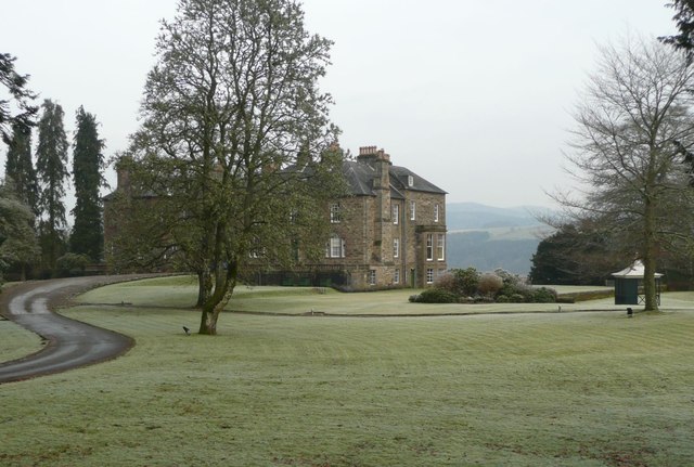
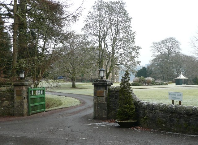
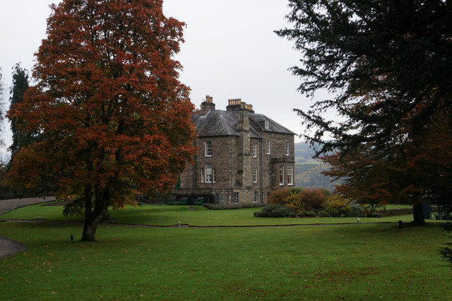
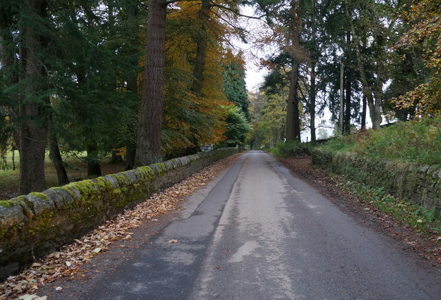
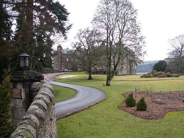
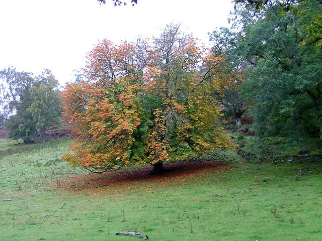
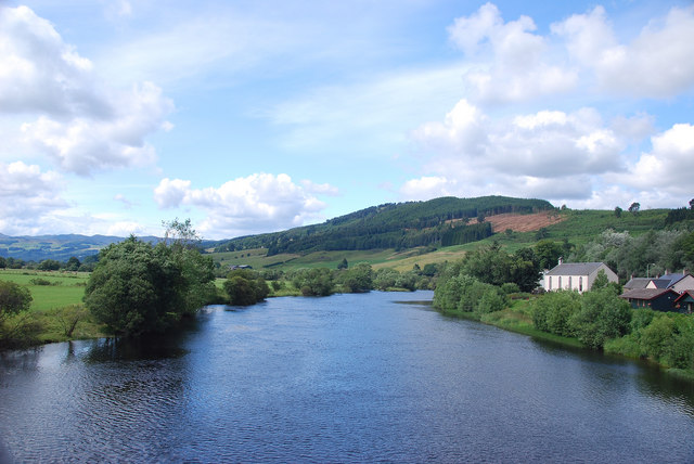
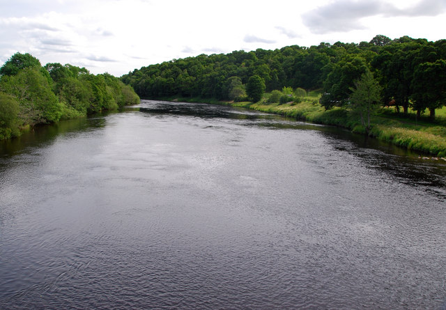
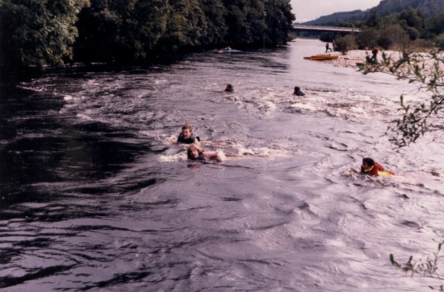
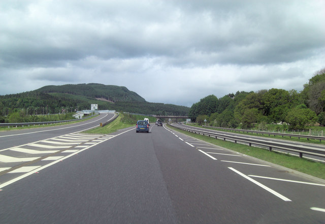
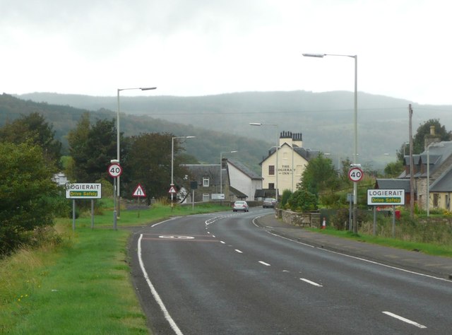
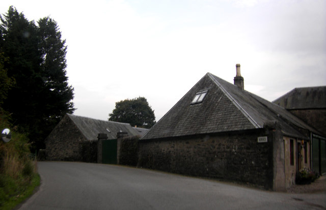
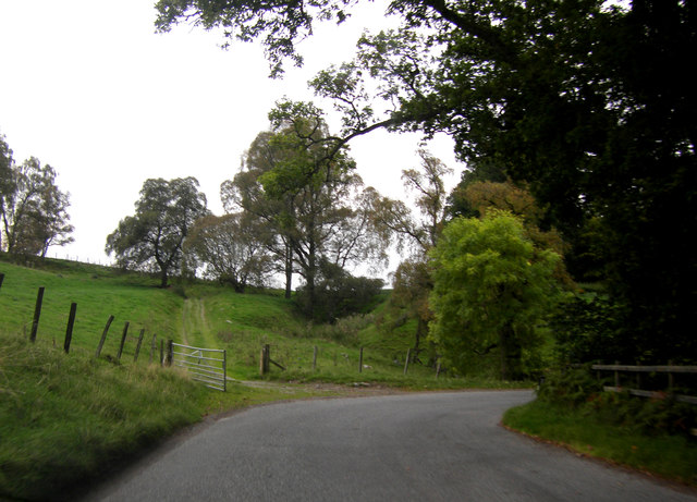
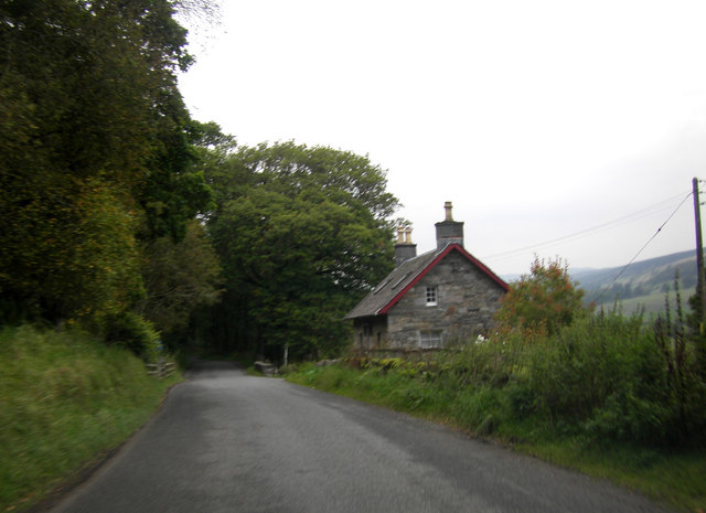
Images are sourced within 2km of 56.644879/-3.6657295 or Grid Reference NN9751. Thanks to Geograph Open Source API. All images are credited.

Kinnaird House & Grounds Looking north from the B898 to Kinnaird House.
Kinnaird House & Grounds
Looking north from the B898 to Kinnaird House.
Road (B898) at the entrance to Kinnaird House Looking north-westward.
Road (B898) at the entrance to Kinnaird House
Looking north-westward.
Kinnaird House Kinnaird House is the main property of the Kinnaird Estate in Strath Tay.  It's accessed from the B898 on the west side of the River Tay.
Kinnaird House
Kinnaird House is the main property of the Kinnaird Estate in Strath Tay. It's accessed from the B898 on the west side of the River Tay.
Icy track to Castle Peroch Beside the woods opposite Kinnaird House.
Icy track to Castle Peroch
Beside the woods opposite Kinnaird House.
Kinnaird House On the B898 west of the River Tay.
An elegant bed & breakfast guest house, self catering cottages & farmhouses and a longer stay residence. All set in beautiful Perthshire, near Pitlochry.
<span class="nowrap"><a title="http://www.kinnairdestate.com/" rel="nofollow ugc noopener" href="http://www.kinnairdestate.com/">Link</a><img style="margin-left:2px;" alt="External link" title="External link - shift click to open in new window" src="https://s1.geograph.org.uk/img/external.png" width="10" height="10"/></span>
Kinnaird House
On the B898 west of the River Tay. An elegant bed & breakfast guest house, self catering cottages & farmhouses and a longer stay residence. All set in beautiful Perthshire, near Pitlochry. LinkExternal link
Gateway to Kinnaird Estate From the B898.
Gateway to Kinnaird Estate
From the B898.
Kinnaird House from the B898
The B898 at Kinnaird House
Kinnaird House This large 17th century house converted to a hotel stands just off the B898 with stunning views east over the Tay valley.
Kinnaird House
This large 17th century house converted to a hotel stands just off the B898 with stunning views east over the Tay valley.
Autumn leaves at Kincraigie This tree has begun to shed its leaves quite early in comparison to the surrounding ones.
Autumn leaves at Kincraigie
This tree has begun to shed its leaves quite early in comparison to the surrounding ones.
Tay View From the Logierate Bridge the scene upstream with the local church and holiday homes on the north bank.
Tay View
From the Logierate Bridge the scene upstream with the local church and holiday homes on the north bank.
Tay View From the Logierate Bridge the tree lined scene to the south.
Tay View
From the Logierate Bridge the tree lined scene to the south.
River Tummel at Ballinluig Although the kids were at a canoe camp, most of them found swimming with a life jacket was as much fun.
River Tummel at Ballinluig
Although the kids were at a canoe camp, most of them found swimming with a life jacket was as much fun.
A827 leaves the A9 at Ballinluig
Approaching Logierait The Logierait Inn, beside the River Tay, is the multi-chimneyed building in the centre.
Approaching Logierait
The Logierait Inn, beside the River Tay, is the multi-chimneyed building in the centre.
Estate buildings, Kinnaird House
Bend in the B898
Bend in the B898
House on the B898
House on the B898
Show me another place!

Richard's Island is located at Grid Ref: NN9751 (Lat: 56.644879, Lng: -3.6657295)

Unitary Authority: Perth and Kinross

Police Authority: Tayside

What 3 Words

///jots.pampered.brain. Near Pitlochry, Perth & Kinross

Nearby Locations

Richard's Island

Related Wikis

River Tummel

The River Tummel (Scottish Gaelic: Uisge Theimheil) is a river in Perth and Kinross, Scotland. Water from the Tummel is used in the Tummel hydro-electric...

Ballinluig railway station

Ballinluig railway station served the village of Ballinluig, Perth and Kinross, Scotland from 1863 to 1965 on the Inverness and Perth Junction Railway...

Logierait

Logierait (Scottish Gaelic: Lag an Ratha - 'Hollow of the [Earth-Walled] Fort/Enclosure') is a village and parish in Atholl, Scotland. It is situated...

Ballinluig

Ballinluig (Gaelic: Baile an Luig) is a village in Perth and Kinross, Scotland. It lies on the banks of the River Tummel in Logierait Parish, and is approximately...

Nearby Amenities

Located within 500m of 56.644879,-3.6657295
Ballinluig
Historic Railway: station
Railway: site
Wikidata: Q42377421
Wikipedia: en:Ballinluig railway station
Lat/Long: 56.6489572/-3.665908
Motorway Junction
Ballinluig Junction
Lat/Long: 56.6473277/-3.6620514
Logierait Mill
1860name: Logierait Mill (Corn)
Pont: no
Stobie1783: Mill
Designation: Historic Mill
Historic: archaeological_site
Source: OS Six inch 1st series
Lat/Long: 56.6449688/-3.67273
Aberfeldy Junction
Historic Railway: junction
Railway: site
Lat/Long: 56.6482746/-3.6650509
Material: wood
Power: pole
Lat/Long: 56.6433816/-3.6590078
Material: wood
Power: pole
Lat/Long: 56.643942/-3.6597079
Material: wood
Power: pole
Lat/Long: 56.6445777/-3.6605179
Material: wood
Power: pole
Lat/Long: 56.6451985/-3.6613038
Material: wood
Power: pole
Lat/Long: 56.6458253/-3.6620951
Material: wood
Power: pole
Lat/Long: 56.6464594/-3.6628944
Material: wood
Power: pole
Lat/Long: 56.6468915/-3.6636132
Material: wood
Power: pole
Lat/Long: 56.6470744/-3.6644635
Material: wood
Power: pole
Transformer: distribution
Voltage Primary: 11000
Voltage Secondary: 400
Lat/Long: 56.6478898/-3.6655739
Material: wood
Power: pole
Lat/Long: 56.6483735/-3.6662284
Material: wood
Power: pole
Lat/Long: 56.6489191/-3.6669982
Power: pole
Lat/Long: 56.6446127/-3.6731533
Power: pole
Lat/Long: 56.6451017/-3.6719422
Power: pole
Lat/Long: 56.6455075/-3.6709267
Power: pole
Lat/Long: 56.6459808/-3.6697378
Power: pole
Lat/Long: 56.6463068/-3.6681893
Power: pole
Lat/Long: 56.6465834/-3.6669104
Power: pole
Lat/Long: 56.6468565/-3.6656284
Power: pole
Lat/Long: 56.6484344/-3.662652
Material: wood
Power: pole
Lat/Long: 56.6486256/-3.6626376
The data included in this document is from www.openstreetmap.org. The data is made available under ODbL.

Have you been to Richard's Island?

Leave your review of Richard's Island below (or comments, questions and feedback).