Berry Head Common
Downs, Moorland in Devon
England
Berry Head Common

Berry Head Common is a stunning area of natural beauty located in Brixham, Devon, England. This expansive common is a combination of downs and moorland, offering visitors a diverse range of landscapes to explore.
Covering an area of approximately 15 hectares, Berry Head Common boasts breathtaking views of the surrounding coastline and the English Channel. The downs, characterized by their gently rolling hills, are covered in lush grasses and dotted with wildflowers, creating a vibrant and colorful display during the summer months. Visitors can enjoy leisurely walks along the well-maintained footpaths that crisscross the downs, taking in the panoramic vistas and enjoying the fresh sea air.
The moorland section of the common is a haven for wildlife enthusiasts and birdwatchers. Its rugged terrain is home to a variety of bird species, including kestrels, peregrine falcons, and stonechats. The moorland is also rich in heather and gorse, offering a picturesque backdrop for nature lovers.
In addition to its natural beauty, Berry Head Common is also steeped in history. The area is home to the remains of a Napoleonic-era fort, which played a significant role in defending the coast during the early 19th century. Visitors can explore the fortifications, including the gun emplacements and underground magazine rooms, while learning about the area's military past.
Overall, Berry Head Common offers visitors a delightful combination of breathtaking scenery, diverse landscapes, and historical significance. Whether you are a nature lover, history buff, or simply seeking a tranquil escape, this beautiful common is a must-visit destination in Devon.
If you have any feedback on the listing, please let us know in the comments section below.
Berry Head Common Images
Images are sourced within 2km of 50.397586/-3.4919783 or Grid Reference SX9456. Thanks to Geograph Open Source API. All images are credited.


Berry Head Common is located at Grid Ref: SX9456 (Lat: 50.397586, Lng: -3.4919783)
Unitary Authority: Torbay
Police Authority: Devon and Cornwall
What 3 Words
///stored.teardrop.purified. Near Brixham, Devon
Nearby Locations
Related Wikis

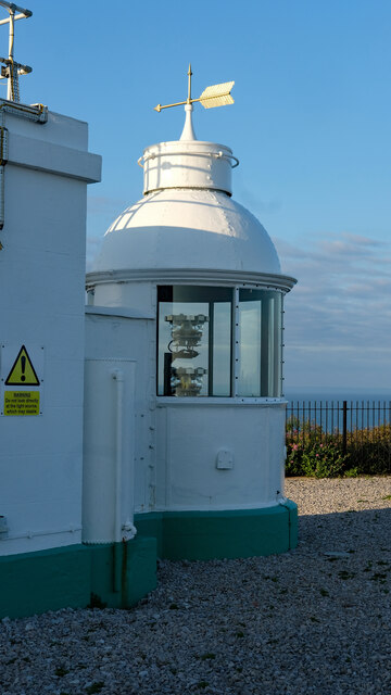
Berry Head
Berry Head is a coastal headland that forms the southern boundary of Tor Bay in Devon, England. Lying to the east of the town of Brixham, it is a national...

Berry Head House
Berry Head House (now used as the Berry Head Hotel) is a large detached house in Brixham, England. It is listed Grade II on the National Heritage List...
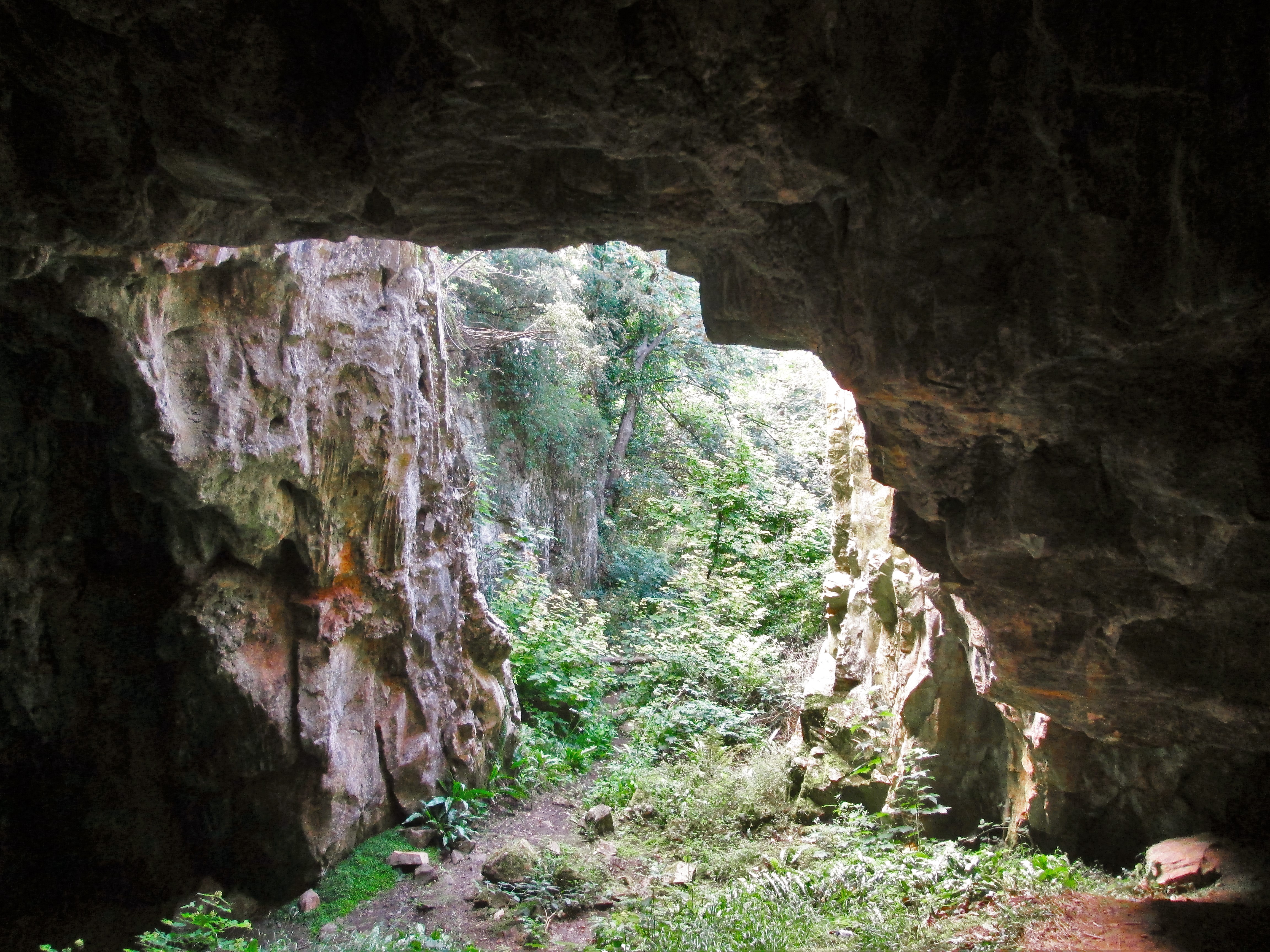
Ash Hole Cavern
Ash Hole Cavern is a limestone cave system in Brixham, Devon, England. There is evidence of human habitation since Neolithic times, and archaeological...
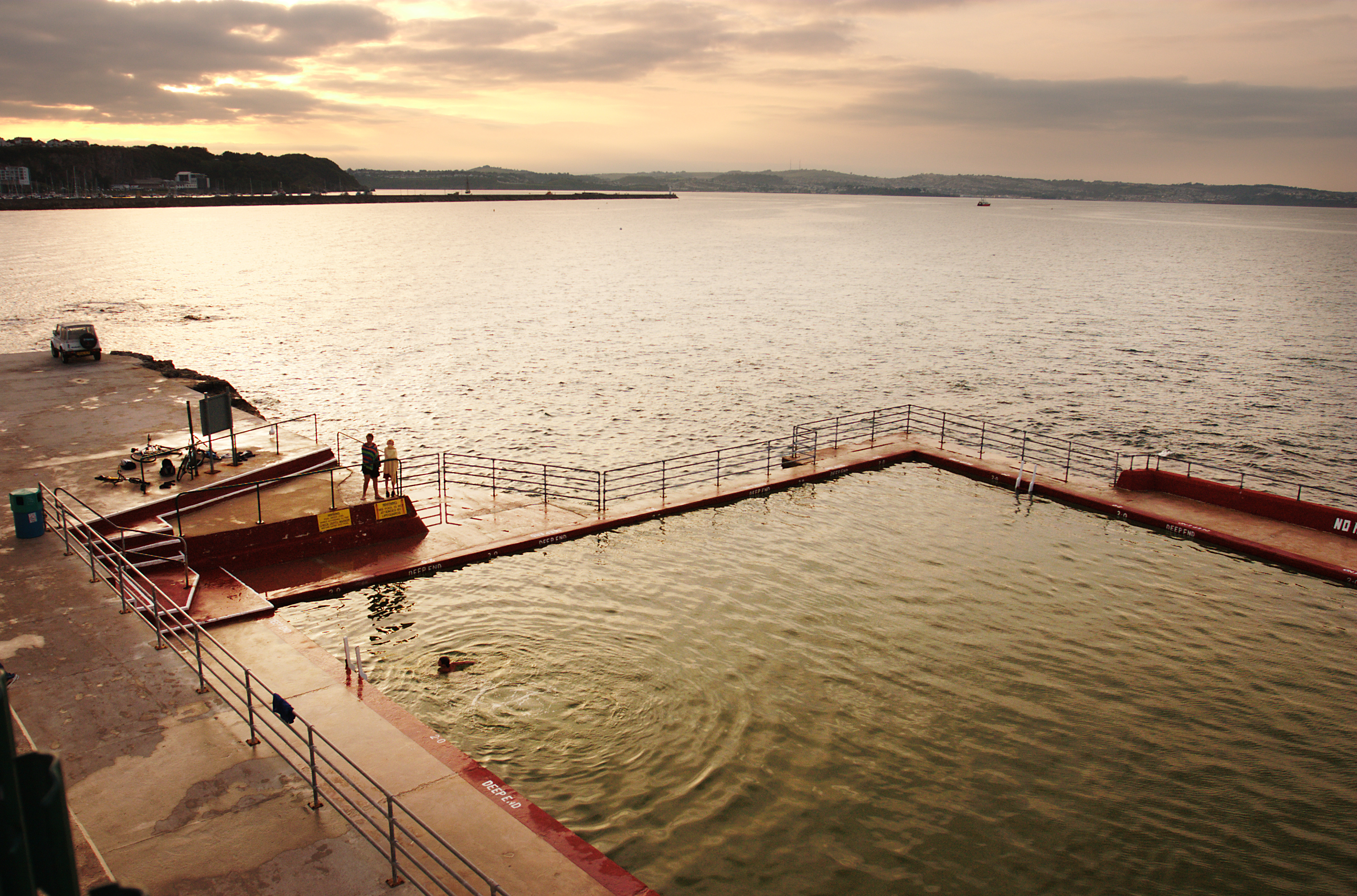
Shoalstone Pool
Shoalstone Pool is a sea-water swimming pool or lido on Shoalstone Beach, Brixham, Devon. == Description == This pool is the English Riviera's only open...
Nearby Amenities
Located within 500m of 50.397586,-3.4919783Have you been to Berry Head Common?
Leave your review of Berry Head Common below (or comments, questions and feedback).