Coed Pen-y-bryn
Downs, Moorland in Glamorgan
Wales
Coed Pen-y-bryn
Coed Pen-y-bryn is a picturesque nature reserve located in Glamorgan, Wales. Spanning over a vast area of downs and moorland, the reserve offers a stunning landscape that is rich in biodiversity and natural beauty.
The reserve is home to a wide variety of plant and animal species, making it an ideal destination for nature enthusiasts and wildlife lovers. The downs, characterized by gently sloping hills, are covered with lush grasslands and wildflowers, creating a colorful and vibrant environment. In the summer months, the downs are a sight to behold, as they transform into a sea of purple heather.
The moorland section of Coed Pen-y-bryn is equally captivating, with its rugged terrain and open spaces. Here, visitors can find unique plant species such as bog myrtle and cotton grass, as well as numerous bird species, including the curlew and skylark. The moorland also offers breathtaking panoramic views of the surrounding countryside, making it a popular spot for hikers and photographers.
In addition to its natural beauty, Coed Pen-y-bryn is also of historical significance. The reserve contains ancient archaeological sites, including burial chambers and stone circles, providing a glimpse into the area's rich cultural heritage.
Visitors to Coed Pen-y-bryn can enjoy a range of activities, such as walking, birdwatching, and photography. The reserve is well-maintained and offers well-marked trails, ensuring a pleasant and accessible experience for all. Whether you are seeking tranquility, adventure, or a deeper connection with nature, Coed Pen-y-bryn is a must-visit destination in Glamorgan.
If you have any feedback on the listing, please let us know in the comments section below.
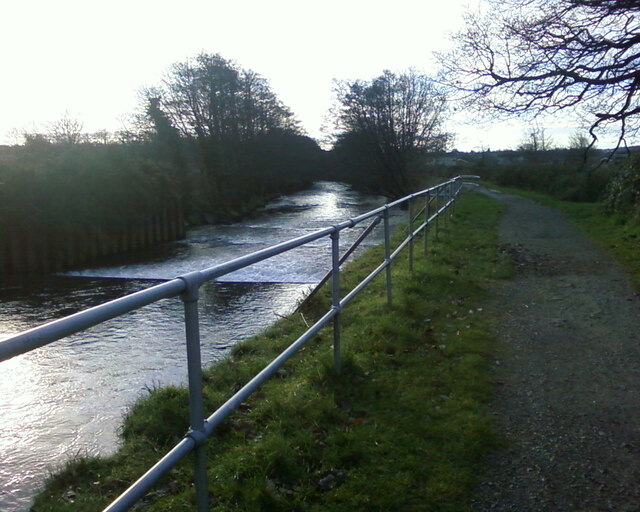
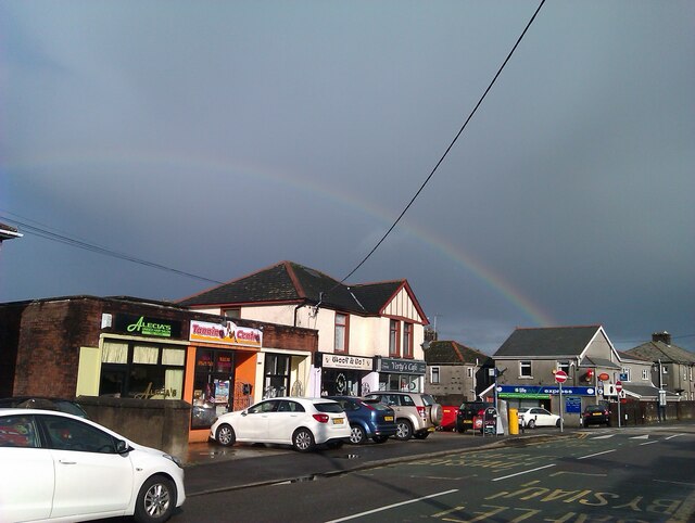
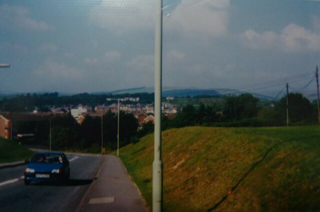
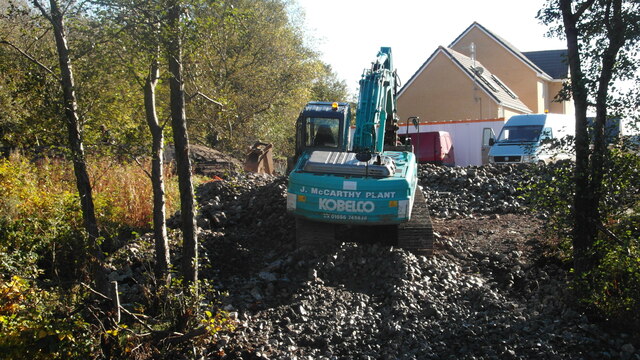
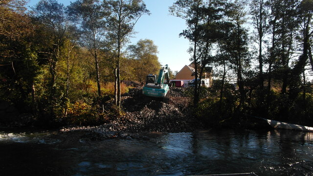
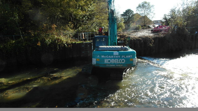
Coed Pen-y-bryn Images
Images are sourced within 2km of 51.554495/-3.5886733 or Grid Reference SS8985. Thanks to Geograph Open Source API. All images are credited.
Coed Pen-y-bryn is located at Grid Ref: SS8985 (Lat: 51.554495, Lng: -3.5886733)
Unitary Authority: Bridgend
Police Authority: South Wales
What 3 Words
///adopt.prominent.homing. Near Betws, Bridgend
Nearby Locations
Related Wikis

Bryngarw Country Park
Bryngarw Country Park is made up of 48 hectares (120 acres) and is situated on the west bank of the Afon Garw, at the mouth of the Garw Valley in the Bridgend...
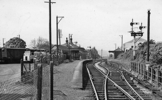
Brynmenyn railway station
Brynmenyn railway station served the village of Brynmenyn, in the historic county of Glamorgan, Wales, from 1873 to 1958 on the Garw Valley Railway....

River Garw
The River Garw (Afon Garw in Welsh, meaning "rugged river") runs for about 12 miles from its source in the hills north of Blaengarw to the confluence with...
Ynysawdre
Ynysawdre is a small community in Bridgend County Borough, south Wales. It is located to the east of Aberkenfig in Wales, and comprises the two villages...
Nearby Amenities
Located within 500m of 51.554495,-3.5886733Have you been to Coed Pen-y-bryn?
Leave your review of Coed Pen-y-bryn below (or comments, questions and feedback).