Blood Moss

Downs, Moorland in Kirkcudbrightshire

Scotland

Blood Moss

Rushy fields Damp fields with a line of trees following the drain and the road.
Rushy fields Credit: Jonathan Wilkins

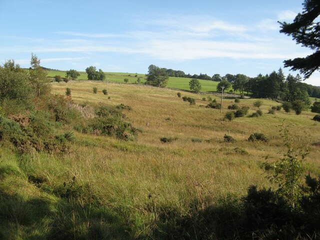
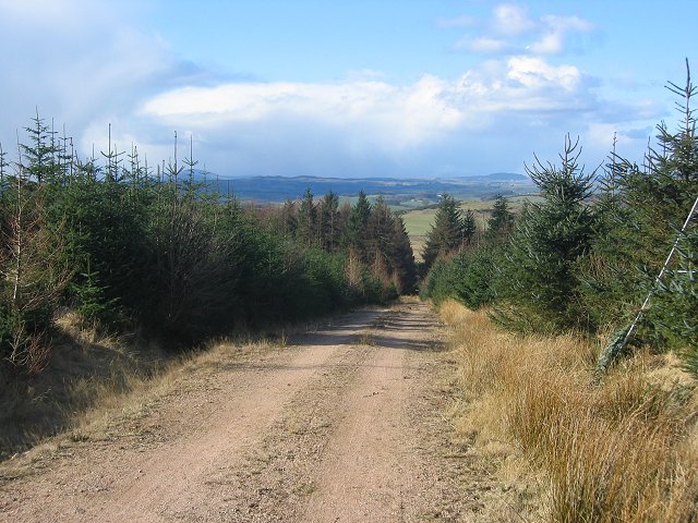
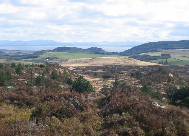
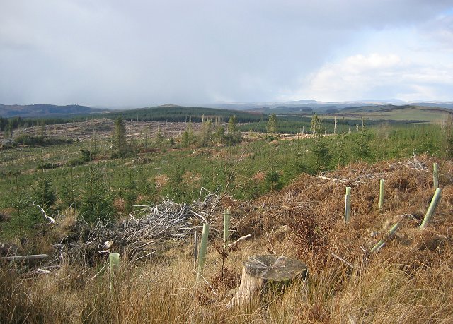
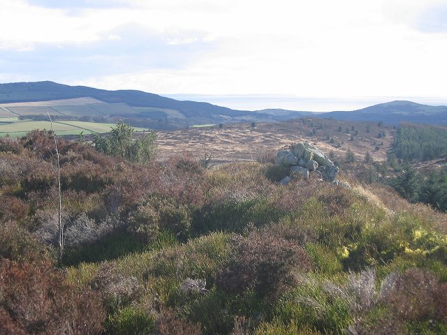
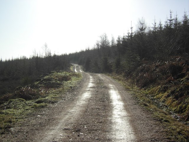
Blood Moss is a unique and captivating natural feature located in Kirkcudbrightshire, a historic county in southwestern Scotland. Situated on the Downs and Moorland region, Blood Moss spans over a vast area and is renowned for its distinctive crimson-colored vegetation, giving rise to its intriguing name.

The moss is primarily composed of sphagnum peat, a type of moss known for its ability to retain water, resulting in the formation of boggy terrain. This waterlogged environment provides a conducive habitat for a variety of plant and animal species, contributing to the rich biodiversity found in Blood Moss.

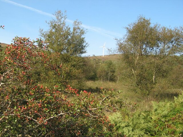
The moss is characterized by its striking appearance, as the sphagnum moss and other bog plants create a thick carpet of vibrant red hues. This unique coloration is due to the presence of iron oxide in the water, which reacts with the moss and gives it its distinct crimson color. The contrast between the red moss and the surrounding green vegetation and heather-covered moorland creates a visually stunning landscape.

Blood Moss is not only aesthetically appealing but also ecologically significant. It serves as a vital carbon sink, as the sphagnum moss and peat layer accumulates over time, locking in large amounts of carbon dioxide. Additionally, the bog provides a habitat for various bird species, including curlews, snipes, and red grouse.

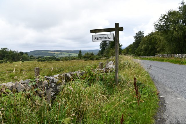
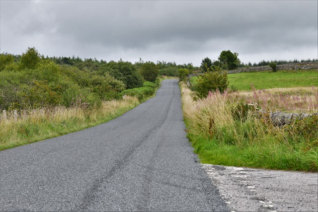
Visitors to Blood Moss can explore the area via well-maintained paths, allowing them to fully appreciate the unique beauty and ecological value of this remarkable natural attraction. It is a place that offers a tranquil and captivating experience, providing a glimpse into the diverse and awe-inspiring landscapes that Scotland has to offer.

If you have any feedback on the listing, please let us know in the comments section below.

Blood Moss Images

Images are sourced within 2km of 54.924311/-3.751218 or Grid Reference NX8760. Thanks to Geograph Open Source API. All images are credited.

Rushy fields Damp fields with a line of trees following the drain and the road.
Rushy fields
Damp fields with a line of trees following the drain and the road.
Field-side drain Drains on damp, level fields by the watershed.
Field-side drain
Drains on damp, level fields by the watershed.
Track in the forest This track through young growth of trees runs over bare granite outcrop in places, with heather and moss making a pleasant carpet.
Track in the forest
This track through young growth of trees runs over bare granite outcrop in places, with heather and moss making a pleasant carpet.
Roadside rowans Fabulous crops of rowan berries at the roadside on the margin of the Auchenhay Forest.
Roadside rowans
Fabulous crops of rowan berries at the roadside on the margin of the Auchenhay Forest.
Moorland below Banks Hill A paradox, with improved grazing at higher altitude than the rougher moorland.
Moorland below Banks Hill
A paradox, with improved grazing at higher altitude than the rougher moorland.
Turbine on Auchenlosh Hill A view to the moorland of Auchenlosh Hill over a wet area with rushes and birch trees. Hawthorn at the roadside is showing a good crop of berries.
Turbine on Auchenlosh Hill
A view to the moorland of Auchenlosh Hill over a wet area with rushes and birch trees. Hawthorn at the roadside is showing a good crop of berries.
Roadside bench A bench fashioned from pieces of natural wood in a peaceful spot in sheep pastures. Sadly, the view from the bench was compromised by sun shining straight into the camera, so I was unable capture the wider scene.
Roadside bench
A bench fashioned from pieces of natural wood in a peaceful spot in sheep pastures. Sadly, the view from the bench was compromised by sun shining straight into the camera, so I was unable capture the wider scene.
Sandyhills: A small wooded area
Sandyhills: Drumstinchall Farm
Sandyhills: The B793 recently surfaced
Woodland, Clawbelly Hill. A pocket of deciduous woodland in the pine forest on Clawbelly. Sadly it's another noxious introduced weed, sycamore.
Woodland, Clawbelly Hill.
A pocket of deciduous woodland in the pine forest on Clawbelly. Sadly it's another noxious introduced weed, sycamore.
Forest road on Clawbelly Hill. Second generation plantings. View northwest to snowshowers crossing the Galloway Hills.
Forest road on Clawbelly Hill.
Second generation plantings. View northwest to snowshowers crossing the Galloway Hills.
Clawbelly Hill. Rough ground with exposed granite and many knolls and bogs. View south with the snow covered Lake District hills across the Solway Firth.
Clawbelly Hill.
Rough ground with exposed granite and many knolls and bogs. View south with the snow covered Lake District hills across the Solway Firth.
Clawbelly Hill. View west from the summit over a felled and replanted area of forest.
Clawbelly Hill.
View west from the summit over a felled and replanted area of forest.
Clawbelly Hill summit. The heathery summit with a view south to St Bee's Head.
Clawbelly Hill summit.
The heathery summit with a view south to St Bee's Head.
Forest, Clawbelly Hill Just on the corner of the square looking south east into it. Nearly all woodland.
Forest, Clawbelly Hill
Just on the corner of the square looking south east into it. Nearly all woodland.
Forest edge, Isles. Taken from just inside the eastern line, the granite dyke marks the edge of the forest. View west,
Forest edge, Isles.
Taken from just inside the eastern line, the granite dyke marks the edge of the forest. View west,
Isles Woodlands Access road up through Isles Woods.
Isles Woodlands
Access road up through Isles Woods.
Show me another place!

Blood Moss is located at Grid Ref: NX8760 (Lat: 54.924311, Lng: -3.751218)

Unitary Authority: Dumfries and Galloway

Police Authority: Dumfries and Galloway

What 3 Words

///monday.alongside.covers. Near Dalbeattie, Dumfries & Galloway

Nearby Locations

Blood Moss Clawbelly Hill

Related Wikis

Southwick railway station (Scotland)

Southwick (Dumfries & Galloway) railway station served the civil parish of Colvend and Southwick, Dumfries and Galloway, Scotland from 1859 to 1965 on...

Dalbeattie Star F.C.

Dalbeattie Star Football Club is a Scottish association football club based in Dalbeattie, Dumfries and Galloway. It currently competes in the South of...

Dalbeattie

Dalbeattie (, Scots: Dawbeattie, Scottish Gaelic: Dail Bheithe meaning 'haugh of the birch' or Dail bhàite 'drowned (i.e. liable to flood) haugh') is a...

Dalbeattie Town Hall

Dalbeattie Town Hall is a municipal building in the High Street in Dalbeattie, Dumfries and Galloway, Scotland. The structure, which is used as community...

Dalbeattie railway station

Dalbeattie railway station served the town of Dalbeattie, Dumfries and Galloway, Scotland from 1859 to 1965 on the Castle Douglas and Dumfries Railway...

Dalbeattie High School

Dalbeattie High School is a small rural secondary school on the edge of Dalbeattie in the historical county of Kirkcudbrightshire in the local council...

Buittle Bridge

Buittle Bridge, also known as Craignair Bridge is a bridge over the Urr Water just outside Dalbeattie in Dumfries and Galloway, Scotland. Completed in...

Colvend and Southwick

Colvend and Southwick is a community council area and civil parish within the Stewartry area of Dumfries and Galloway, Scotland. It is also part of the...

Nearby Amenities

Located within 500m of 54.924311,-3.751218
Natural: cave_entrance
Source: os7
Lat/Long: 54.923461/-3.7582766
Blood Moss
Place: locality
Lat/Long: 54.9242248/-3.7535713
The data included in this document is from www.openstreetmap.org. The data is made available under ODbL.

Have you been to Blood Moss?

Leave your review of Blood Moss below (or comments, questions and feedback).