Godsend Moors
Downs, Moorland in Somerset Somerset West and Taunton
England
Godsend Moors

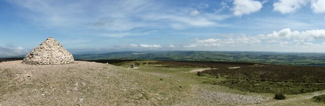
Godsend Moors, Somerset, is a picturesque area located in the southwestern part of England. Nestled in the heart of the Somerset Downs, this region boasts a diverse landscape of moorland and rolling hills, offering stunning vistas and a tranquil environment.
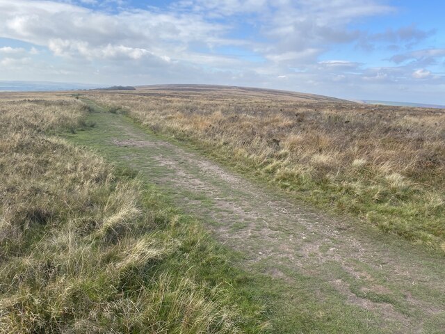
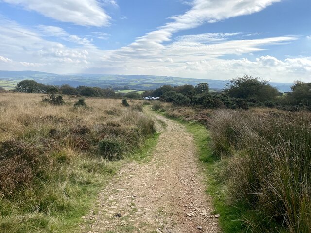
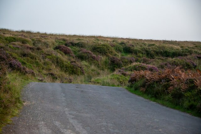
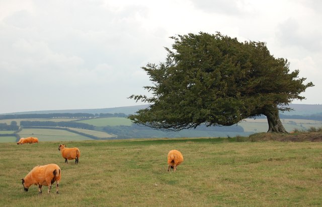
The moors of Godsend are characterized by their unique vegetation, which includes heather, gorse, and a variety of grasses. This creates a colorful tapestry that changes with the seasons, from vibrant purples and pinks in the summer to rich golden hues in the autumn. The moorland is also dotted with scattered trees and shrubs, providing shelter for the local wildlife.
Nature enthusiasts flock to Godsend Moors to explore its vast network of walking trails, which wind through the open moorland and offer breathtaking views of the surrounding countryside. The moors also provide a habitat for a range of bird species, including skylarks, stonechats, and snipes, making it a haven for birdwatchers.
In addition to its natural beauty, Godsend Moors has a rich cultural heritage. The area is home to several ancient settlements and burial sites, dating back thousands of years. These archaeological sites offer a glimpse into the lives of the people who once called this area home, providing valuable insights into the region's history.
Overall, Godsend Moors, Somerset, is a captivating destination that offers a harmonious blend of natural beauty and historical significance. Whether you are seeking a peaceful retreat or an opportunity to explore the region's heritage, this enchanting moorland is sure to leave a lasting impression.
If you have any feedback on the listing, please let us know in the comments section below.
Godsend Moors Images
Images are sourced within 2km of 51.153773/-3.6058406 or Grid Reference SS8740. Thanks to Geograph Open Source API. All images are credited.


Godsend Moors is located at Grid Ref: SS8740 (Lat: 51.153773, Lng: -3.6058406)
Administrative County: Somerset
District: Somerset West and Taunton
Police Authority: Avon and Somerset
What 3 Words
///swanky.atomic.basically. Near Porlock, Somerset
Nearby Locations
Related Wikis
Dunkery Hill
Dunkery Beacon at the summit of Dunkery Hill is the highest point on Exmoor and in Somerset, England. It is also the highest point in southern England...

Sweetworthy
Sweetworthy is the site of two Iron Age hill forts or enclosures at Luccombe, 4 kilometres (2 mi) south of Porlock, Somerset, England. They are on the...

Stoke Pero Church
Stoke Pero Church in Stoke Pero, Somerset, England was built in the 13th century. It is a Grade II* listed building. Standing 1,013 feet (309 meters) above...

Church of St Mary Magdelene, Exford
The Anglican Church of St Mary Magdelene in Exford, Somerset, England was built in the 15th century. It is a Grade II* listed building. == History == Nothing...

Exford, Somerset
Exford is a rural village at the centre of Exmoor National Park, 7 miles (11 km) north-west of Dulverton, and 10 miles (16 km) south-west of Minehead,...

Nutscale Reservoir
Nutscale Reservoir is a reservoir located in Exmoor in north west Somerset, England. It supplies the town of Minehead and nearby Porlock and Porlock Weir...

Road Castle
Road Castle is an Iron Age bank and ditch in the West Somerset district of Somerset, England. The hill fort is situated approximately 2 miles (3.2 km)...
Almsworthy Common
Almsworthy Common is a small area of unenclosed land in Exmoor, south-western England. It contains a number of archaeological sites. It is about 2 miles...
Have you been to Godsend Moors?
Leave your review of Godsend Moors below (or comments, questions and feedback).