Fardingjames Moss
Downs, Moorland in Dumfriesshire
Scotland
Fardingjames Moss
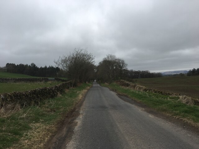
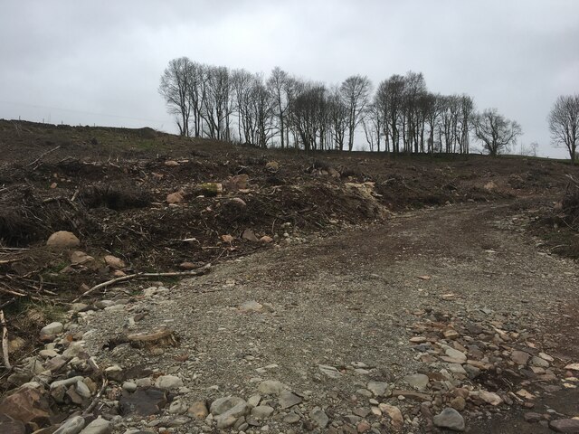
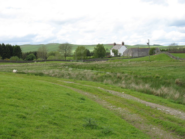
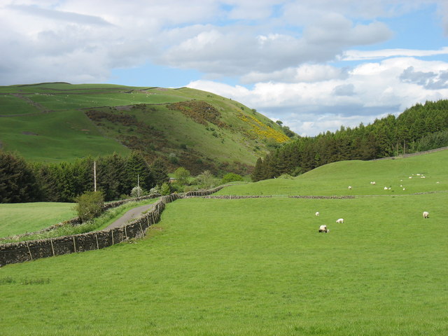
Fardingjames Moss is a rural area located in Dumfriesshire, Scotland. Situated in the Downs region, it is predominantly characterized by vast expanses of moorland. The area is known for its natural beauty, with rolling hills, heather-covered landscapes, and a tranquil atmosphere that attracts visitors seeking a peaceful retreat.
Covering a significant area, Fardingjames Moss offers ample space for outdoor activities such as hiking, birdwatching, and nature photography. It is home to diverse wildlife, including various bird species, mammals, and unique plant life. The moorland ecosystem provides a habitat for species like red grouse, curlews, and golden plovers, making it a popular destination for bird enthusiasts.
The scenery in Fardingjames Moss is characterized by the vibrant purple hues of blooming heather during the summer months, creating a picturesque landscape. The area is also dotted with small lochs and streams, adding to its natural charm.
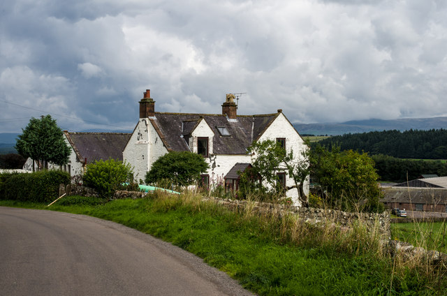
Although primarily rural, there are a few scattered cottages and farms in the area, which contribute to the traditional agricultural heritage of Dumfriesshire. The local community is known for its friendliness and welcoming nature, making visitors feel at home.
Overall, Fardingjames Moss, Dumfriesshire offers a peaceful and idyllic setting for those seeking a connection with nature and a break from the hustle and bustle of city life. Its moorland landscape, diverse wildlife, and warm community atmosphere make it a hidden gem worth exploring.
If you have any feedback on the listing, please let us know in the comments section below.
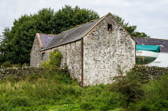
Fardingjames Moss Images
Images are sourced within 2km of 55.171651/-3.7634301 or Grid Reference NX8787. Thanks to Geograph Open Source API. All images are credited.


Fardingjames Moss is located at Grid Ref: NX8787 (Lat: 55.171651, Lng: -3.7634301)
Unitary Authority: Dumfries and Galloway
Police Authority: Dumfries and Galloway
What 3 Words
///leafing.headlight.bikes. Near Thornhill, Dumfries & Galloway
Nearby Locations
Related Wikis

Barjarg Tower
Barjarg Tower is an L-plan tower house probably dating from 1680, four miles south-east of Penpont, Dumfriesshire, Scotland. It is attached to a 19th...
Barburgh Mill
Barburgh Mill is a hamlet composed of an old lint mill, later extended as a woollen mill and associated buildings which lies north of Auldgirth on the...

Dunscore
Dunscore (['dʌnskər] / 'DUN-skur', less commonly ['dunskɔ:r] / 'DUN-score') is a small village which lies 9 miles (14 km) northwest of Dumfries on the...
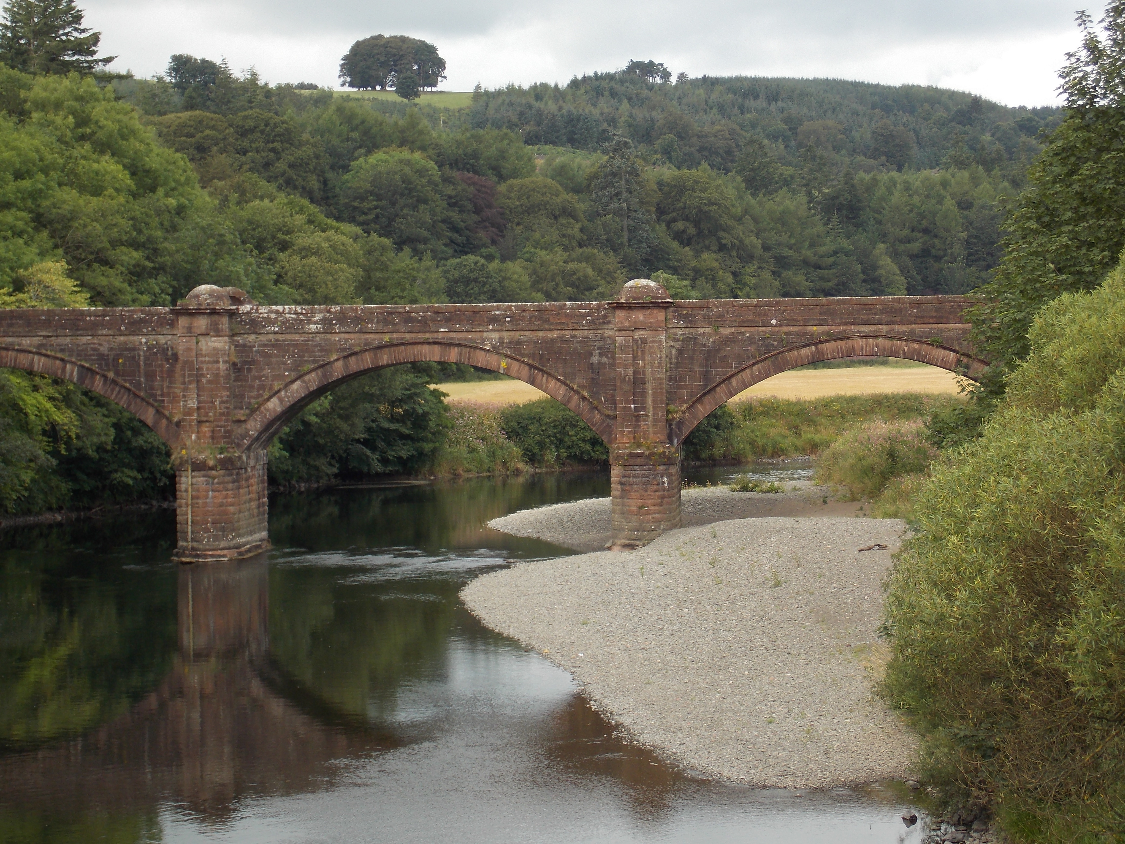
Auldgirth Bridge
Auldgirth Bridge is a bridge over the River Nith just outside Auldgirth in Dumfries and Galloway, Scotland. Designed by David Henderson of Edinburgh in...
Nearby Amenities
Located within 500m of 55.171651,-3.7634301Have you been to Fardingjames Moss?
Leave your review of Fardingjames Moss below (or comments, questions and feedback).