Hawtree Moors
Downs, Moorland in Somerset Somerset West and Taunton
England
Hawtree Moors

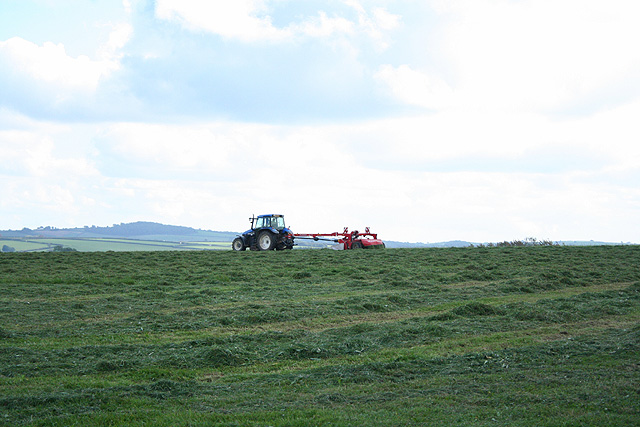
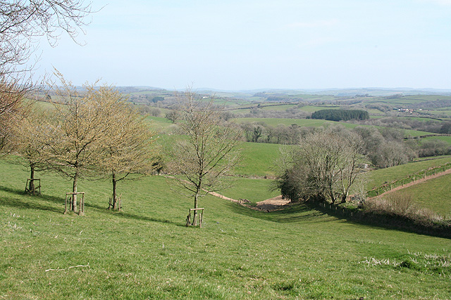
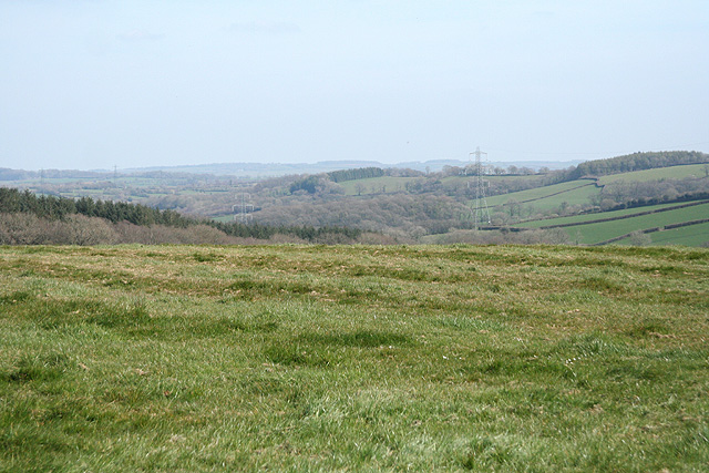
Hawtree Moors, located in Somerset, England, is a picturesque area renowned for its downs and moorland. The moors stretch over a vast expanse of land, offering visitors a unique and stunning landscape to explore. The area is characterized by rolling hills, open grasslands, and patches of heather, creating a vibrant and colorful scenery throughout the year.
Hawtree Moors is home to a rich variety of flora and fauna, with numerous species thriving in this diverse ecosystem. Visitors can spot an array of wildflowers, such as orchids and primroses, as well as rare plants like bog rosemary and sundew. The moors are also a haven for birdwatchers, as they provide habitat for a wide range of avian species, including buzzards, skylarks, and curlews.
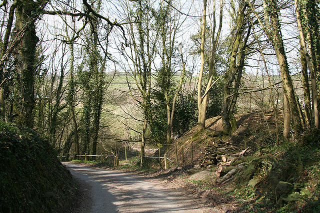
Walking trails meander through the moors, allowing visitors to immerse themselves in the natural beauty of the area. The paths offer breathtaking views over the surrounding countryside, with the rolling hills and open skies providing a sense of tranquility and serenity. On clear days, it is even possible to catch glimpses of the Bristol Channel from certain vantage points.
Hawtree Moors is a popular destination for outdoor enthusiasts, offering opportunities for hiking, picnicking, and wildlife observation. The area is well-maintained, with designated parking areas and information boards providing visitors with valuable insights into the local flora, fauna, and history. Whether one is seeking a peaceful stroll in nature or a more adventurous hike, Hawtree Moors is a truly captivating destination, showcasing the beauty and diversity of Somerset's natural landscapes.
If you have any feedback on the listing, please let us know in the comments section below.
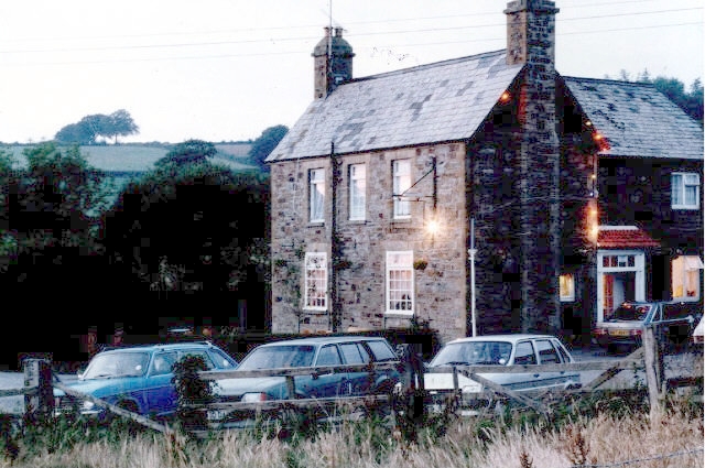
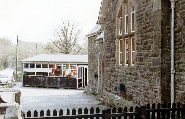
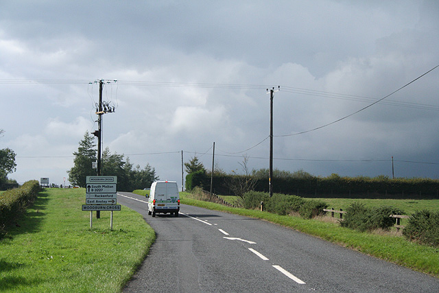
Hawtree Moors Images
Images are sourced within 2km of 51.014689/-3.6032544 or Grid Reference SS8725. Thanks to Geograph Open Source API. All images are credited.


Hawtree Moors is located at Grid Ref: SS8725 (Lat: 51.014689, Lng: -3.6032544)
Administrative County: Somerset
District: Somerset West and Taunton
Police Authority: Avon and Somerset
What 3 Words
///spurring.hurt.dentures. Near Dulverton, Somerset
Nearby Locations
Related Wikis

East Anstey
East Anstey is a village and civil parish in the North Devon district of Devon, England. The parish is located in an area which has been designated as...

Oldways End
Oldways End is a hamlet in the civil parish of East Anstey in the North Devon district of Devon, England. Its nearest town is Tiverton, which lies approximately...

Briggins Moor
Briggins Moor is a 15.3 hectare biological Site of Special Scientific Interest in Somerset, notified in 1994. The site is south of Dulverton and close...

West Anstey
West Anstey is a village and civil parish on the River Yeo, about 5 miles west of Dulverton, in the North Devon district, in the county of Devon, England...

Roachill
Roachill is a hamlet in the civil parish of Knowstone in the North Devon district of Devon, England. Its nearest town is Tiverton, which lies approximately...

Combe, Dulverton
Combe is a historic estate in Somerset, England, situated between the town of Dulverton and the village of Brushford. == Descent == === Taunton Priory... ===

Barle Bridge
Barle Bridge is a five span stone arch bridge over the River Barle in Dulverton within the English county of Somerset, which is medieval in origin. It...

Oldberry Castle
Oldberry Castle (sometimes called Oldbury Castle) is an Iron Age hill fort north west of Dulverton, Somerset, England. It lies approximately 0.5 miles...
Nearby Amenities
Located within 500m of 51.014689,-3.6032544Have you been to Hawtree Moors?
Leave your review of Hawtree Moors below (or comments, questions and feedback).