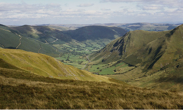
Allt Isaf

Downs, Moorland in Merionethshire

Wales

Allt Isaf
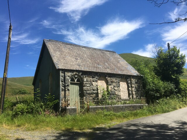
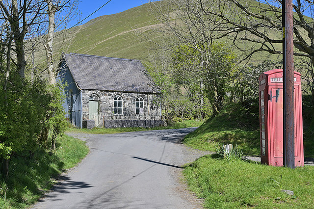
Derelict chapel, Cwm Cywarch
Derelict chapel, Cwm Cywarch Credit: Steven Brown

The requested URL returned error: 429 Too Many Requests

If you have any feedback on the listing, please let us know in the comments section below.

Allt Isaf Images

Images are sourced within 2km of 52.741542/-3.6783642 or Grid Reference SH8617. Thanks to Geograph Open Source API. All images are credited.
Derelict chapel, Cwm Cywarch
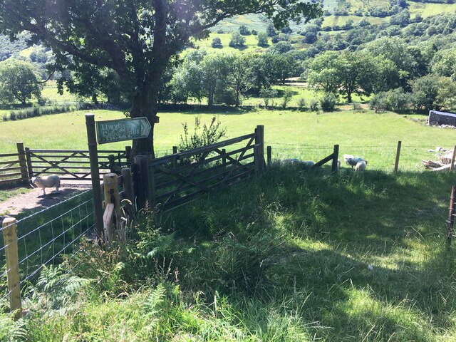
Public footpath near Blaencywarch
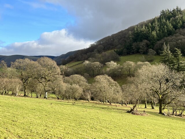
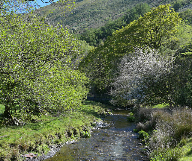
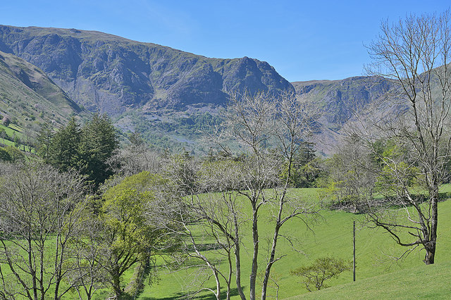
Trees in winter In the upper Dyfi valley.
Trees in winter
In the upper Dyfi valley.
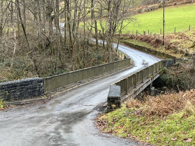
Bridge over the River Dyfi
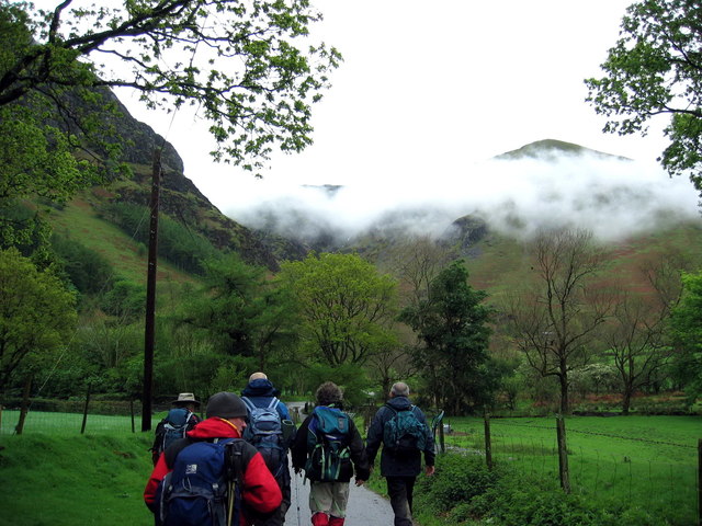
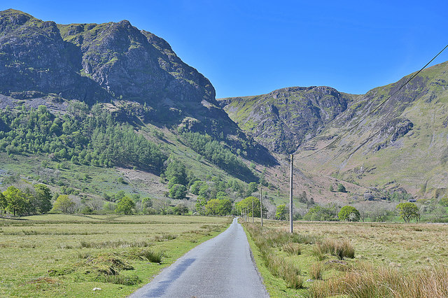
Cwm Cywarch Cerddwyr yn dilyn heol fach ym mhen uchaf Cwm Cywarch.

Walkers following a minor road at the upper reaches of Cwm Cywarch.
Cwm Cywarch
Cerddwyr yn dilyn heol fach ym mhen uchaf Cwm Cywarch. Walkers following a minor road at the upper reaches of Cwm Cywarch.
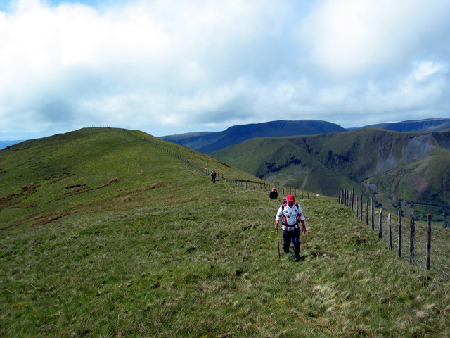
Pen yr Allt Uchaf Cerddwyr yn agosau ay gopa Pen yr Allt Uchaf.

Walkers approaching the summit of Pen yr Allt Uchaf (top of the highest slope).
Pen yr Allt Uchaf
Cerddwyr yn agosau ay gopa Pen yr Allt Uchaf. Walkers approaching the summit of Pen yr Allt Uchaf (top of the highest slope).
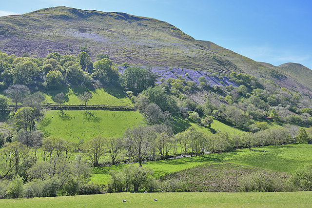
Cwm Cywarch near Ty'n-y-wern farm Looking over the cwm to the steep slopes of Foel Benddin. Bluebells are widely evident in the cwm at this time of year.
Cwm Cywarch near Ty'n-y-wern farm
Looking over the cwm to the steep slopes of Foel Benddin. Bluebells are widely evident in the cwm at this time of year.
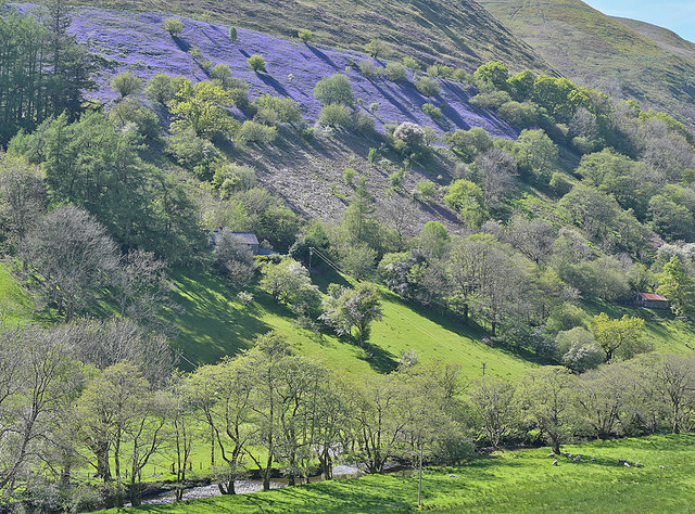
Hillside blues, above Ty'n-y-wern farm An intense patch of bluebells stands out on the hillside above the farm. There were numerous other patches on the sides of the cwm, but this was probably the best.

Thanks to those Geograph members who confirmed that these were bluebells.
Hillside blues, above Ty'n-y-wern farm
An intense patch of bluebells stands out on the hillside above the farm. There were numerous other patches on the sides of the cwm, but this was probably the best. Thanks to those Geograph members who confirmed that these were bluebells.
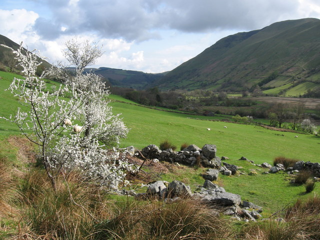
Looking up Cwm Cywarch A similar view to <a href="https://www.geograph.org.uk/photo/1521304">SH8616 : Trees in Cwm Cywarch</a>, but in a different season.
Looking up Cwm Cywarch
A similar view to SH8616 : Trees in Cwm Cywarch, but in a different season.
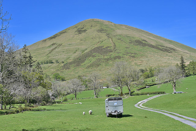
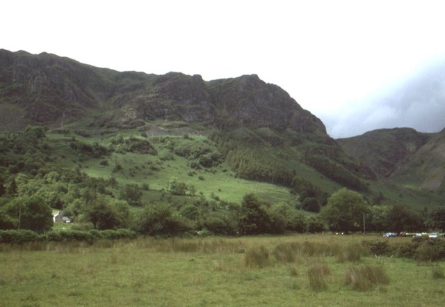
Pen yr Allt Uchaf, seen from Cwm Cywarch The steep sided hill seen from the start of the track to Ceunant farm.
Pen yr Allt Uchaf, seen from Cwm Cywarch
The steep sided hill seen from the start of the track to Ceunant farm.
Chapel and phonebox, Cwm Cywarch
Road over the Fawnog Fawr "Fawnog" is peat bog in English. The wide flat marshy floor of the cwm here suggests a former lake.
Road over the Fawnog Fawr
"Fawnog" is peat bog in English. The wide flat marshy floor of the cwm here suggests a former lake.
The Afon Cywarch, below the Fawnog Fawr
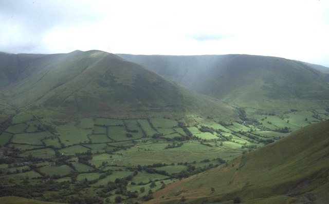
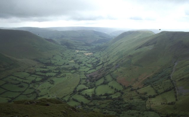
Cwm Cywarch A very fine example of a glacial U shaped valley.
Cwm Cywarch
A very fine example of a glacial U shaped valley.
Cwm Cywarch A very fine example of a glacial U shaped valley.
Cwm Cywarch
A very fine example of a glacial U shaped valley.
Fawnog Fawr Cwm Cywarch before the car park was built, and parking was informal on the common.
Fawnog Fawr
Cwm Cywarch before the car park was built, and parking was informal on the common.
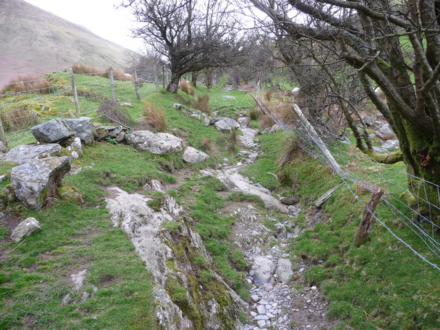
Rough and winding path out of the cwm This old sunken, very rough and quite twisting path takes a footpath from Cwm Cywarch into Cwm Hengwm. Sheep and new born lambs are pastured each side.
Rough and winding path out of the cwm
This old sunken, very rough and quite twisting path takes a footpath from Cwm Cywarch into Cwm Hengwm. Sheep and new born lambs are pastured each side.
Blaencywarch
Blaencywarch
Show me another place!

Allt Isaf is located at Grid Ref: SH8617 (Lat: 52.741542, Lng: -3.6783642)

Unitary Authority: Gwynedd

Police Authority: North Wales

What 3 Words

///emporium.breathy.marshes. Near Cwm-Llinau, Powys

Nearby Locations

Allt Isaf

Related Wikis

Cywarch

Cywarch (also known as Aber-Cywarch or Aber Cywarch) is a location at the head of Cwm Cywarch in the Snowdonia National Park, in Gwynedd, Wales. Several...

Afon Cerist

The Afon Cerist is a small river that flows from underneath Craig Portas, the cliffs on the north side of Maesglase mountain, to meet the River Dyfi at...

Dinas Mawddwy

Dinas Mawddwy (Welsh pronunciation: [ˈdiːnas mau̯ðʊɨ̯]; ) is a village in the community of Mawddwy in south-east Gwynedd, north Wales. It lies within the...

Mawddwy

Mawddwy is a community in the county of Gwynedd, Wales, and is 88.3 miles (142.2 km) from Cardiff and 172.8 miles (278.0 km) from London. In 2011 the population...

Have you been to Allt Isaf?

Leave your review of Allt Isaf below (or comments, questions and feedback).