Venford Moor
Downs, Moorland in Devon North Devon
England
Venford Moor
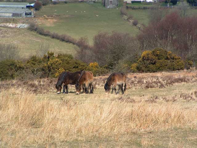
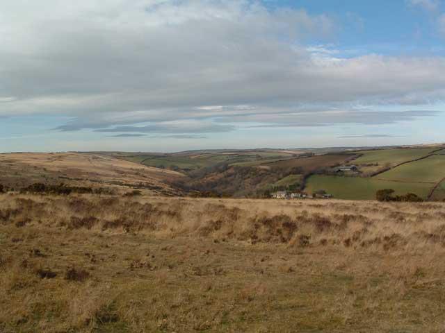
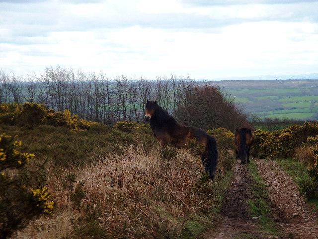
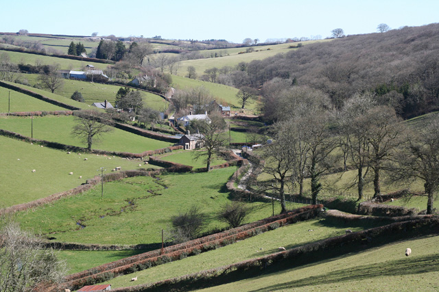
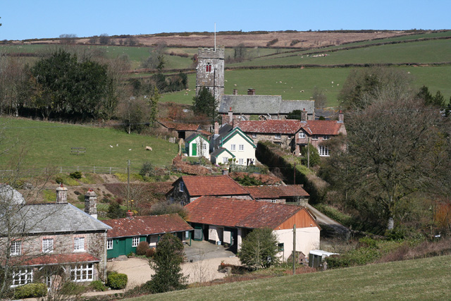
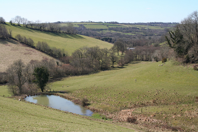
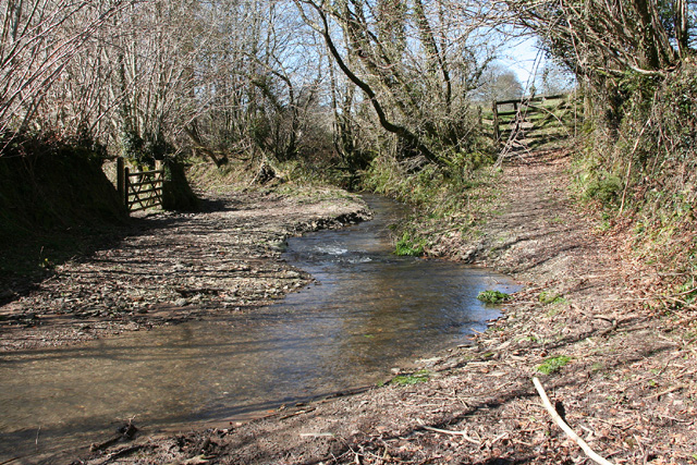
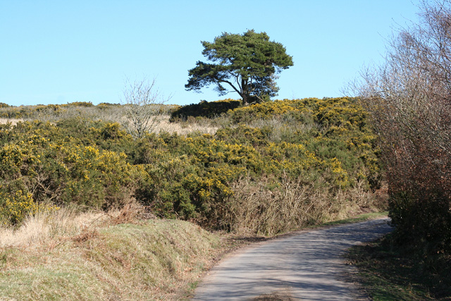
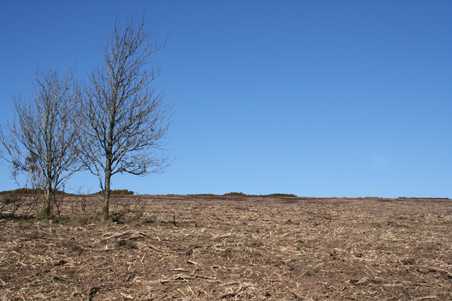
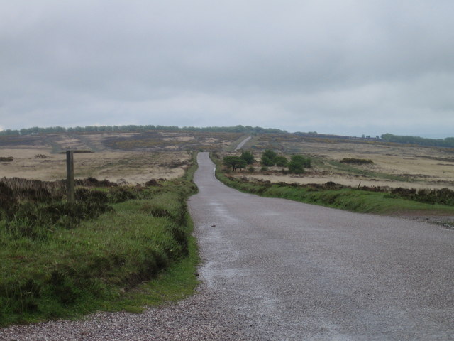
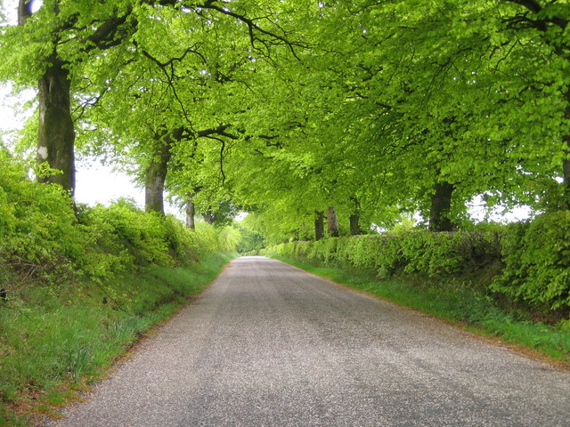
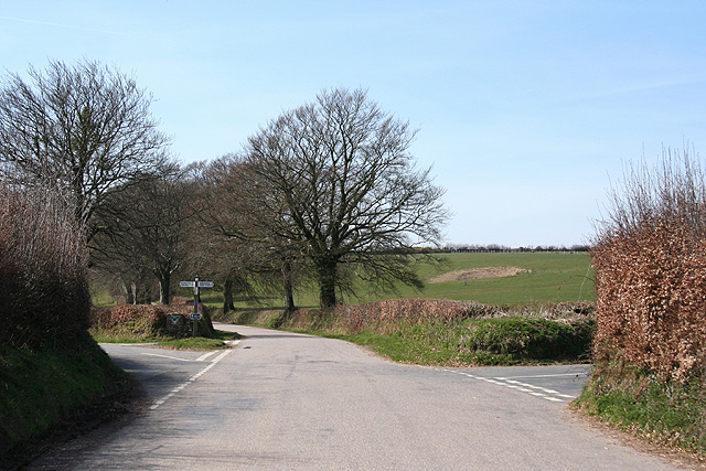
Venford Moor is a picturesque area located in the Dartmoor National Park in Devon, England. Covering approximately 30 hectares, the moor is characterized by its rolling hills, scattered rocky outcrops, and lush green vegetation. The moorland is home to a variety of wildlife, including ponies, sheep, and birds such as skylarks and buzzards.
Venford Moor is a popular destination for outdoor enthusiasts, offering numerous walking and hiking trails that provide stunning views of the surrounding countryside. The area is also known for its diverse plant life, with heather, gorse, and bracken covering much of the landscape.
Visitors to Venford Moor can enjoy a peaceful and tranquil setting, with the only sounds being the chirping of birds and the rustling of the wind through the grass. The moor is a great place to escape the hustle and bustle of city life and connect with nature.
Overall, Venford Moor is a beautiful and serene location that showcases the natural beauty of Dartmoor National Park.
If you have any feedback on the listing, please let us know in the comments section below.
Venford Moor Images
Images are sourced within 2km of 51.047884/-3.6265281 or Grid Reference SS8628. Thanks to Geograph Open Source API. All images are credited.


Venford Moor is located at Grid Ref: SS8628 (Lat: 51.047884, Lng: -3.6265281)
Administrative County: Devon
District: North Devon
Police Authority: Devon and Cornwall
What 3 Words
///yelled.tablets.trickster. Near Dulverton, Somerset
Nearby Locations
Related Wikis

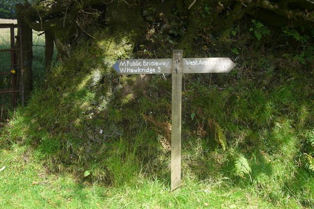
West Anstey
West Anstey is a village and civil parish on the River Yeo, about 5 miles west of Dulverton, in the North Devon district, in the county of Devon, England...

Church of St Giles, Hawkridge
The Anglican Church of St Giles in Hawkridge, Somerset, England was built in the 14th century. It is a Grade II* listed building. == History == The oldest...

Brewer's Castle
Brewer's Castle is a defended Iron Age settlement in the West Somerset district of Somerset, England. The hill fort is situated approximately 2 miles...

Mounsey Castle
Mounsey Castle is an Iron Age irregular triangular earthwork of 1.75 hectares (4.3 acres) north west of Dulverton, Somerset, England. It has been scheduled...
Nearby Amenities
Located within 500m of 51.047884,-3.6265281Have you been to Venford Moor?
Leave your review of Venford Moor below (or comments, questions and feedback).