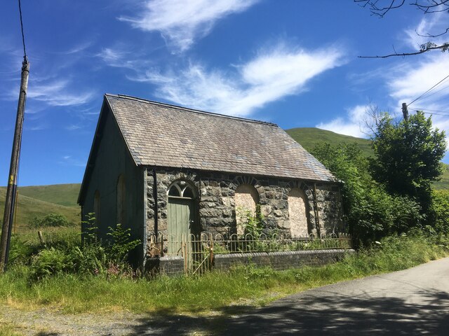
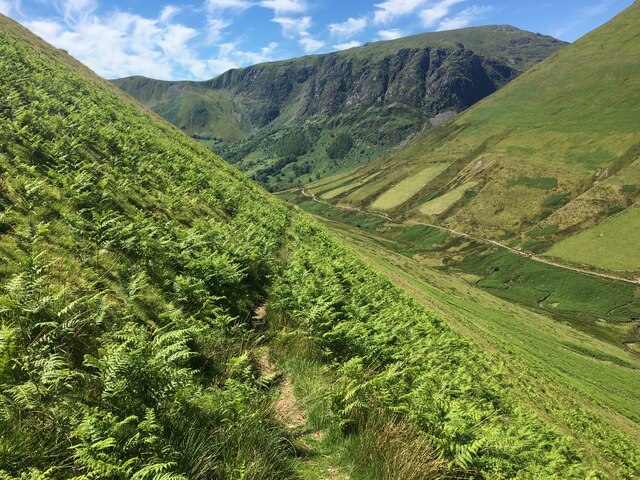
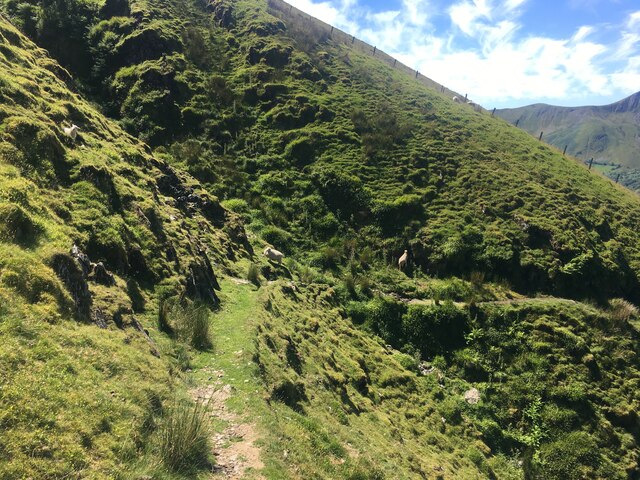
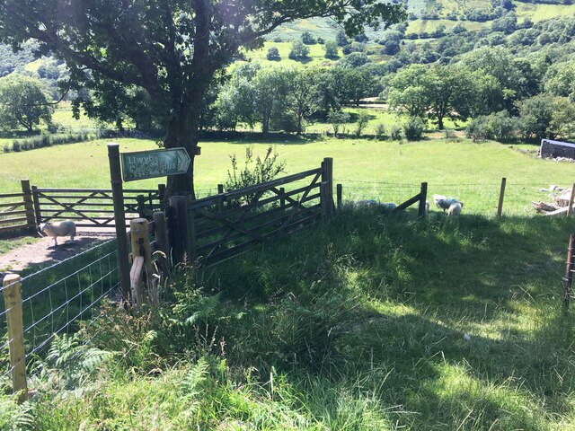
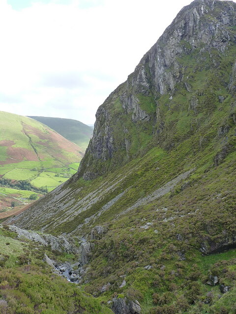
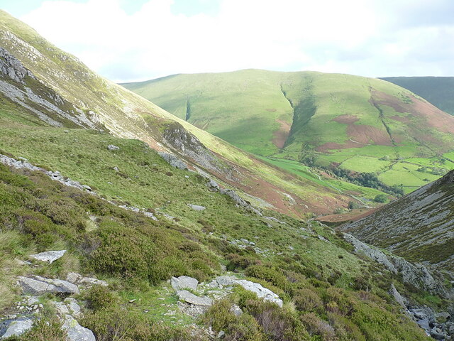
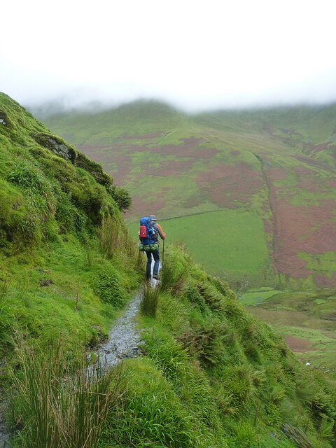
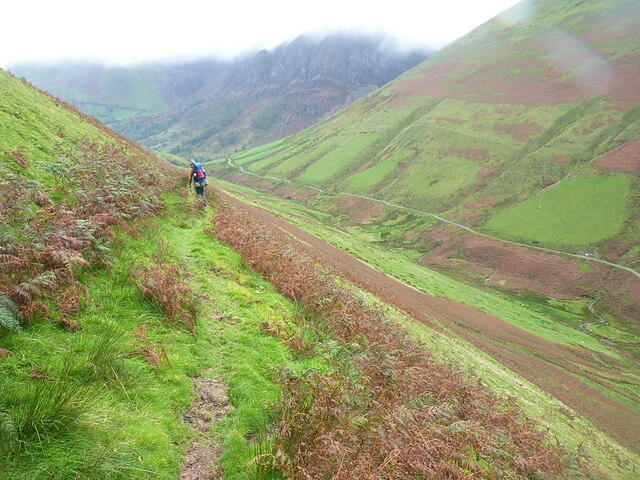
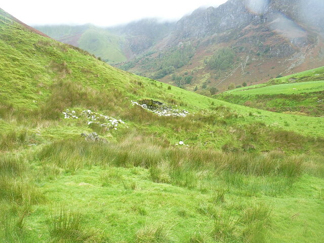
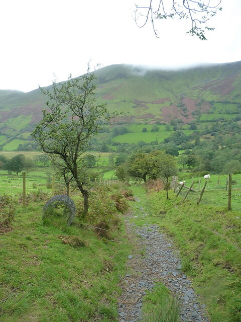
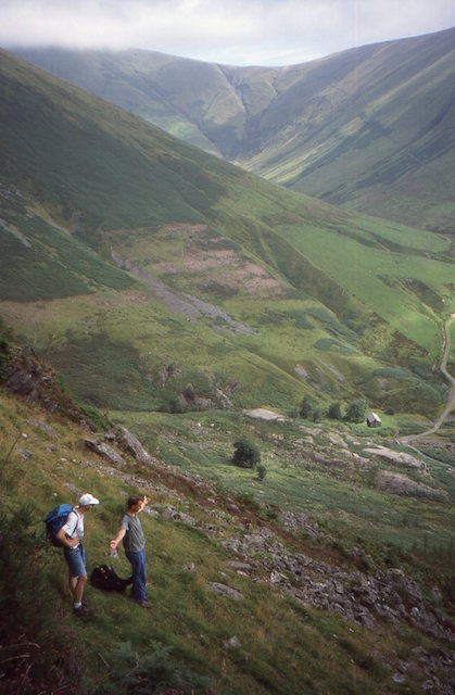
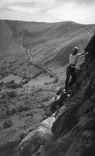
Allt Uchaf

Downs, Moorland in Merionethshire

Wales

Allt Uchaf

Derelict chapel, Cwm Cywarch
Derelict chapel, Cwm Cywarch Credit: Steven Brown

The requested URL returned error: 429 Too Many Requests

If you have any feedback on the listing, please let us know in the comments section below.
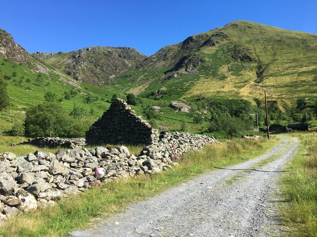
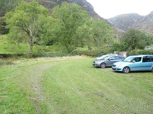
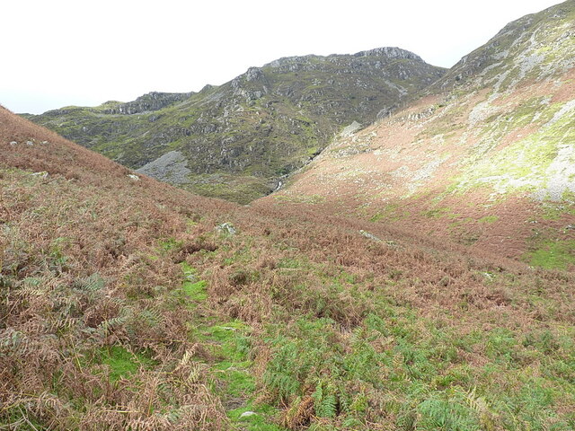
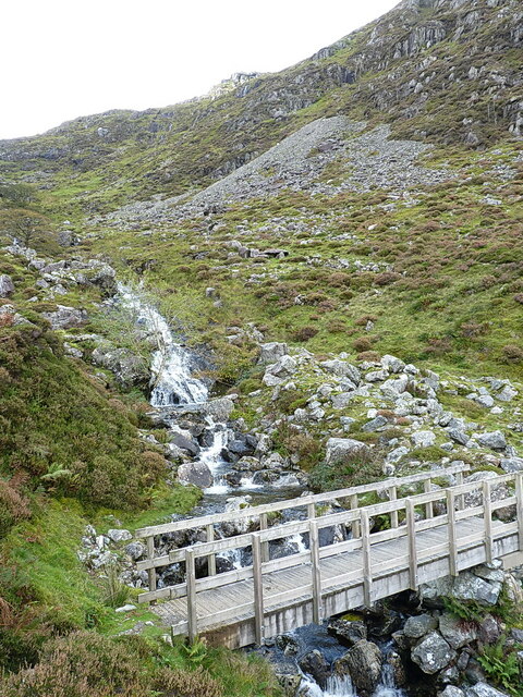
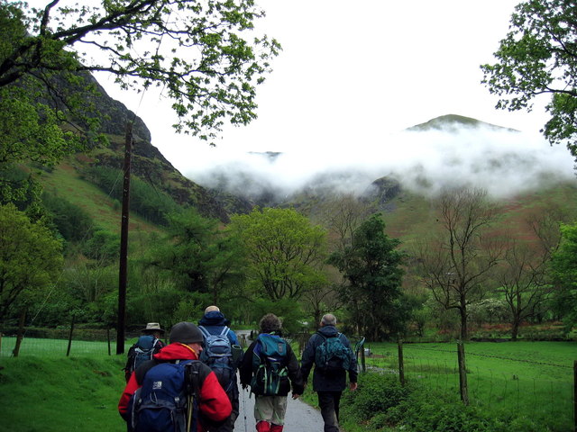
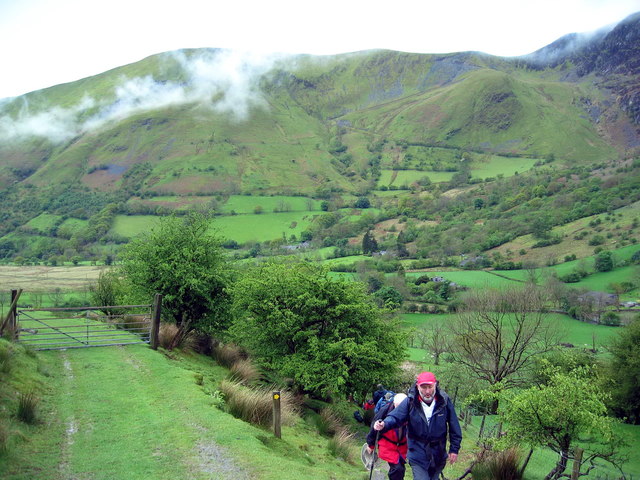
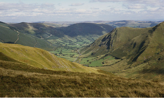
Allt Uchaf Images

Images are sourced within 2km of 52.753008/-3.6895626 or Grid Reference SH8618. Thanks to Geograph Open Source API. All images are credited.

Derelict chapel, Cwm Cywarch
Path on northern slope of Pen yr Allt Uchaf
Path above Hengwm
Path above Hengwm
Public footpath near Blaencywarch
Ruined farm building in Cwm Cywarch
Cwm Cywarch carpark area Carparking at the head of Cwm Cywarch has, for many years, been a bit of an informal affair, with most visitors and walkers leaving their transport on the rough and wet pasture in the valley east of the cottage of <a href="https://www.geograph.org.uk/photo/2919054">SH8518 : Gesail</a>. That situation has now been rectified, by the provision of this small carpark, for the use of which a small (voluntary) donation is requested in an 'honesty box' at the entrance. As that supports the local Air Ambulance, not leaving a donation would seem somewhat churlish.
Cwm Cywarch carpark area
Carparking at the head of Cwm Cywarch has, for many years, been a bit of an informal affair, with most visitors and walkers leaving their transport on the rough and wet pasture in the valley east of the cottage of SH8518 : Gesail. That situation has now been rectified, by the provision of this small carpark, for the use of which a small (voluntary) donation is requested in an 'honesty box' at the entrance. As that supports the local Air Ambulance, not leaving a donation would seem somewhat churlish.
Looking uphill towards Creigiau Camddwr A narrow path follows the valley uphill through the remains of the summer bracken.
Looking uphill towards Creigiau Camddwr
A narrow path follows the valley uphill through the remains of the summer bracken.
Up the valley above the footbridge The slightly shonky bridge seen in <a href="https://www.geograph.org.uk/photo/1828073">SH8419 : Footbridge  below Creigiau Camddwr</a> and <a href="https://www.geograph.org.uk/photo/1470659">SH8419 : Footbridge over a stream below Creigiau Camddwr</a> has been replaced by a rather more sturdy affair in recent years.
Up the valley above the footbridge
The slightly shonky bridge seen in SH8419 : Footbridge below Creigiau Camddwr and SH8419 : Footbridge over a stream below Creigiau Camddwr has been replaced by a rather more sturdy affair in recent years.
The cliffs of upper Craig Cywarch A reverse-image photo to my previous effort <a href="https://www.geograph.org.uk/photo/1674118">SH8419 : Upper Cwm Cywarch</a>, taken whilst walking up the valley to an afternoon out on the Aran hills followed by a night camping.
The cliffs of upper Craig Cywarch
A reverse-image photo to my previous effort SH8419 : Upper Cwm Cywarch, taken whilst walking up the valley to an afternoon out on the Aran hills followed by a night camping.
Upper Cwm Cywarch A view down the valley, where a well-trodden path wends its way up beside the stream and onwards over towards Rhydymain in the Wnion valley.
Upper Cwm Cywarch
A view down the valley, where a well-trodden path wends its way up beside the stream and onwards over towards Rhydymain in the Wnion valley.
On the path above Hengwm This exposed little corner is the subject of several previous photos <a href="https://www.geograph.org.uk/photo/656589">SH8620 : Airy path above Hengwm</a> & <a href="https://www.geograph.org.uk/photo/6431184">SH8620 : Across Hengwm towards Gwaun y Llwyni</a>
On the path above Hengwm
This exposed little corner is the subject of several previous photos SH8620 : Airy path above Hengwm & SH8620 : Across Hengwm towards Gwaun y Llwyni
On the path high above Hengwm
Ruined buildings in Hengwm Not recorded, as far as I can tell, by any of the archeological investigations of the uplands over the years, so the most likely explanation is that they are former hafods of little interest or importance. There is a history of mining and quarrying in the Hengwm and Cwm Cywarch area, and possibly they may have been associated with that in some way, but that's pure speculation.
Ruined buildings in Hengwm
Not recorded, as far as I can tell, by any of the archeological investigations of the uplands over the years, so the most likely explanation is that they are former hafods of little interest or importance. There is a history of mining and quarrying in the Hengwm and Cwm Cywarch area, and possibly they may have been associated with that in some way, but that's pure speculation.
Path above T'yn-y-ddol
Looking down to Bryn Hafod Bryn Hafod is the club hut of the Stafford based Mountain Club. It was built on the site of a ruin by club members in the mid 1960s.  It is very handy for the Craig Cywarch crags.
Looking down to Bryn Hafod
Bryn Hafod is the club hut of the Stafford based Mountain Club. It was built on the site of a ruin by club members in the mid 1960s. It is very handy for the Craig Cywarch crags.
One of the Tea Ledges Will o' the Wisp on Craig Cywarch has a couple of spacious ledges.  Folk have been known to picnic on them, brewing up with stoves. Once while further up the route, the party below me actually set fire to the heather on the ledge, fortunately putting it out.   The scar in the background is a bulldozed road up Cwm yr Ychen.
One of the Tea Ledges
Will o' the Wisp on Craig Cywarch has a couple of spacious ledges. Folk have been known to picnic on them, brewing up with stoves. Once while further up the route, the party below me actually set fire to the heather on the ledge, fortunately putting it out. The scar in the background is a bulldozed road up Cwm yr Ychen.
Cwm Cywarch Cerddwyr yn dilyn heol fach ym mhen uchaf Cwm Cywarch.

Walkers following a minor road at the upper reaches of Cwm Cywarch.
Cwm Cywarch
Cerddwyr yn dilyn heol fach ym mhen uchaf Cwm Cywarch. Walkers following a minor road at the upper reaches of Cwm Cywarch.
Cwm Cywarch Cerddwyr yn dilyn llwybr i'r mynydd agored.

Walkers following the path to the open common.
Cwm Cywarch
Cerddwyr yn dilyn llwybr i'r mynydd agored. Walkers following the path to the open common.
Show me another place!

Allt Uchaf is located at Grid Ref: SH8618 (Lat: 52.753008, Lng: -3.6895626)

Unitary Authority: Gwynedd

Police Authority: North Wales

What 3 Words

///noses.cassettes.example. Near Llanuwchllyn, Gwynedd

Nearby Locations

Allt Uchaf Cwm Terwyn

Related Wikis

Craig Cywarch

Craig Cywarch is an extensive crag looming above Cwm Cywarch. The nearest village is Dinas Mawddwy on the A470. Climbing routes on the various buttresses...

Cywarch

Cywarch (also known as Aber-Cywarch or Aber Cywarch) is a location at the head of Cwm Cywarch in the Snowdonia National Park, in Gwynedd, Wales. Several...

Afon Cerist

The Afon Cerist is a small river that flows from underneath Craig Portas, the cliffs on the north side of Maesglase mountain, to meet the River Dyfi at...

Dinas Mawddwy

Dinas Mawddwy (Welsh pronunciation: [ˈdiːnas mau̯ðʊɨ̯]; ) is a village in the community of Mawddwy in south-east Gwynedd, north Wales. It lies within the...

Nearby Amenities

Located within 500m of 52.753008,-3.6895626
Building: yes
Lat/Long: 52.7527682/-3.6967787
The data included in this document is from www.openstreetmap.org. The data is made available under ODbL.

Have you been to Allt Uchaf?

Leave your review of Allt Uchaf below (or comments, questions and feedback).