Barjarg Moor
Downs, Moorland in Dumfriesshire
Scotland
Barjarg Moor

Barjarg Moor is a vast expanse of moorland located in Dumfriesshire, Scotland. Situated in the beautiful region of Downs, this moorland covers an extensive area of rugged terrain and breathtaking natural beauty.
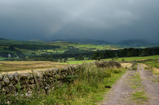
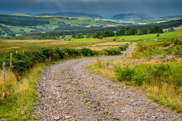
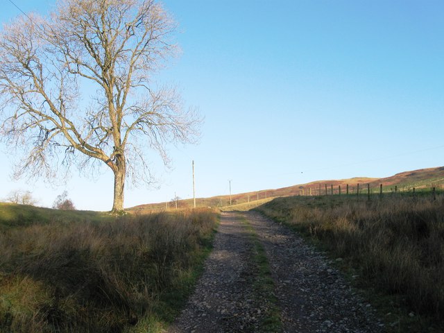
The landscape of Barjarg Moor is characterized by rolling hills, expansive heather fields, and scattered patches of woodland. The moorland is also dotted with numerous small lochs, adding to its picturesque charm. The area is rich in biodiversity, with a variety of flora and fauna thriving in its diverse habitats.
The moorland is a haven for outdoor enthusiasts, offering ample opportunities for hiking, birdwatching, and photography. Its vast open spaces and tranquil surroundings make it a popular destination for nature lovers and those seeking solitude and peace. The moorland is also home to several walking trails that wind through its undulating terrain, allowing visitors to explore its hidden corners and discover its hidden treasures.
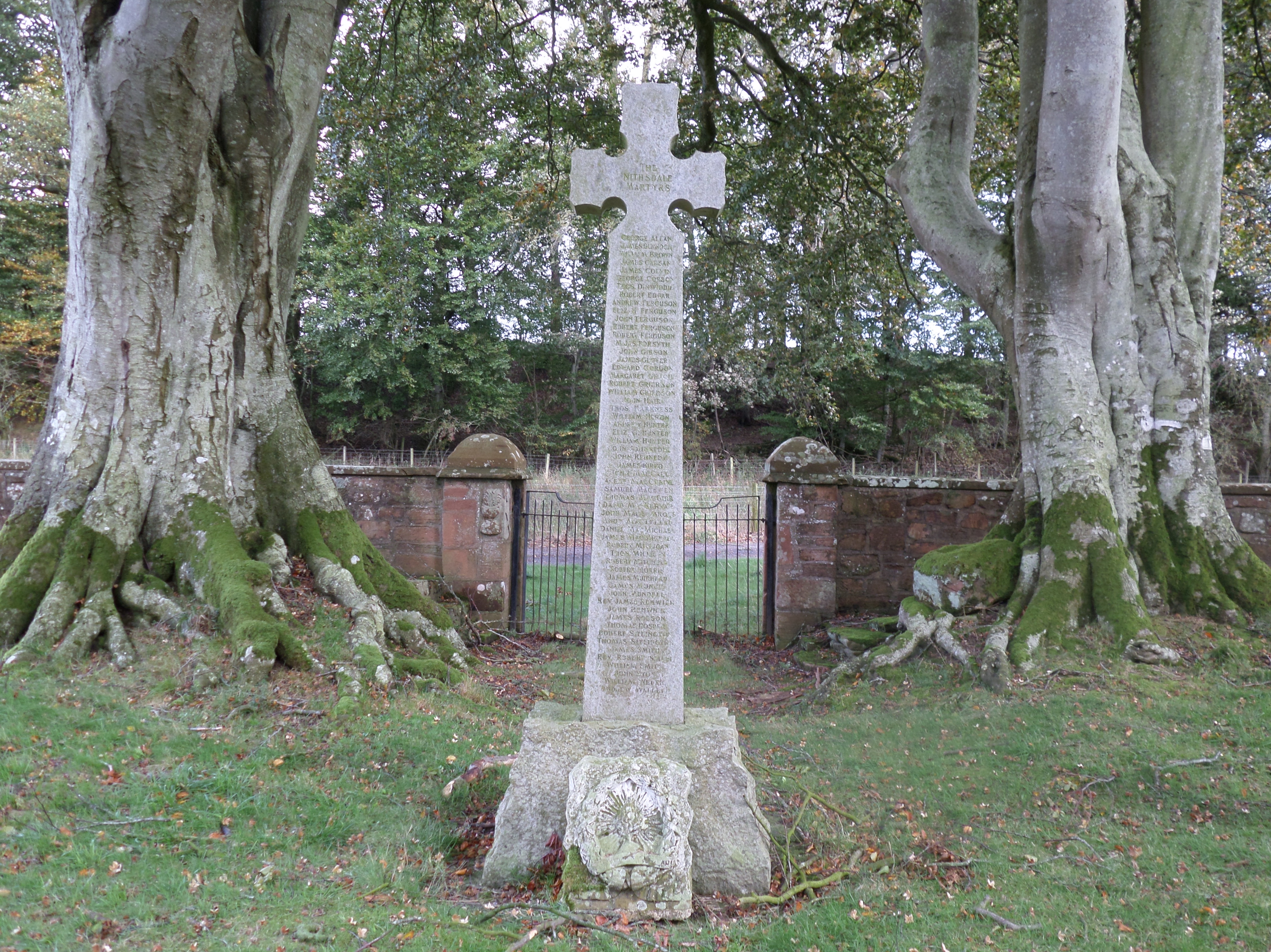
Barjarg Moor is also steeped in history, with traces of ancient settlements and burial sites scattered throughout the area. The moorland holds a special significance for archaeologists and history buffs, who can uncover the remnants of past civilizations and gain insight into the region's rich cultural heritage.
Overall, Barjarg Moor is a captivating destination that offers a unique blend of natural beauty, outdoor adventure, and historical intrigue. Whether it is for a leisurely stroll, a challenging hike, or an exploration of the area's historical past, this moorland in Dumfriesshire is sure to leave visitors awe-inspired and longing to return.
If you have any feedback on the listing, please let us know in the comments section below.
Barjarg Moor Images
Images are sourced within 2km of 55.191512/-3.8010214 or Grid Reference NX8590. Thanks to Geograph Open Source API. All images are credited.


Barjarg Moor is located at Grid Ref: NX8590 (Lat: 55.191512, Lng: -3.8010214)
Unitary Authority: Dumfries and Galloway
Police Authority: Dumfries and Galloway
What 3 Words
///assist.tolls.triathlon. Near Thornhill, Dumfries & Galloway
Nearby Locations
Related Wikis

Barjarg Tower
Barjarg Tower is an L-plan tower house probably dating from 1680, four miles south-east of Penpont, Dumfriesshire, Scotland. It is attached to a 19th...
Crossford railway station
Crossford is a closed station of the Cairn Valley Light Railway branch, from Dumfries. It served the rural area of Crossford in Dumfries and Galloway...

Keir, Dumfries and Galloway
Keir is a civil parish, containing the small village of Keir Mill, in Dumfries and Galloway, Scotland, one mile south of Penpont. It was founded in the...

Shinnel Water
Shinnel Water, also spelt Shinnell, is a river in the region of Dumfries and Galloway, Scotland. It rises in the Scaur hills of Tynron Parish in the Southern...
Dalgarnock
Dalgarnock, Dalgarno, Dalgarnoc was an ancient parish and a once considerable sized village in the Nithsdale area of Dumfries and Galloway, Scotland,...
Kirkland railway station
Kirkland railway station (NX810897) was one of the minor stations on the Cairn Valley Light Railway branch, from Dumfries. It served the rural area around...

Glencairn, Dumfries and Galloway
Glencairn is an ecclesiastical and civil parish in Dumfries and Galloway, Scotland. == Location == According to John Bartholomew's 1887 Gazetteer of the...

Penpont
Penpont is a village about 2 miles (3 km) west of Thornhill in Dumfriesshire, in the Dumfries and Galloway region of Scotland. It is near the confluence...
Nearby Amenities
Located within 500m of 55.191512,-3.8010214Have you been to Barjarg Moor?
Leave your review of Barjarg Moor below (or comments, questions and feedback).