Hawkridge Common
Downs, Moorland in Somerset Somerset West and Taunton
England
Hawkridge Common
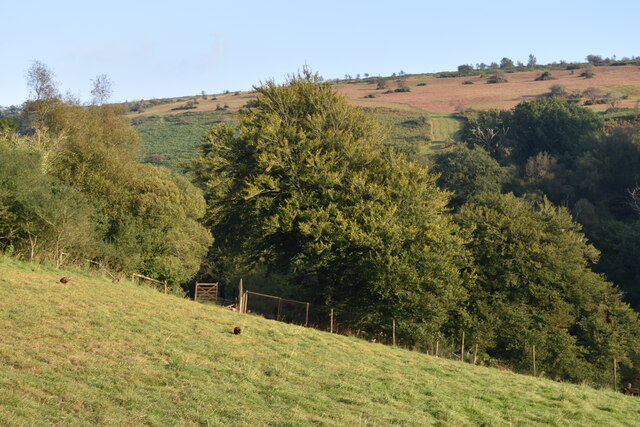
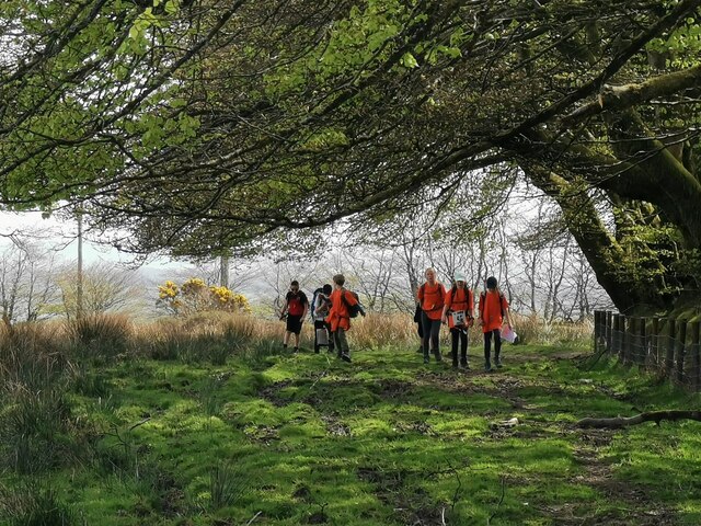
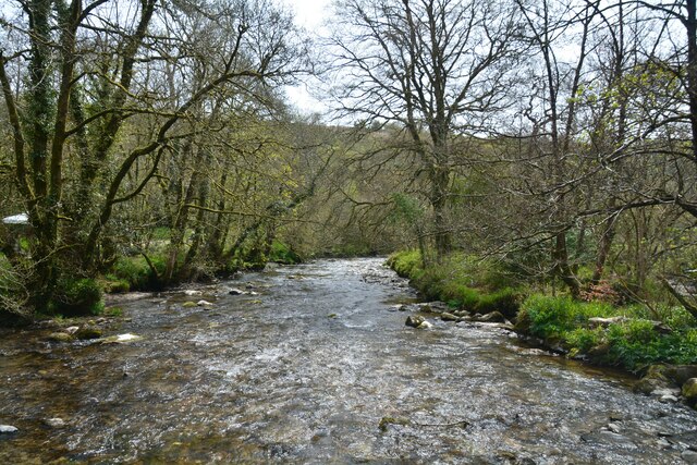
Hawkridge Common, located in Somerset, England, is an expansive area of land characterized by its diverse natural features, including downs and moorland. Covering a considerable expanse, the common is situated within the Exmoor National Park, renowned for its exceptional beauty and abundant wildlife.
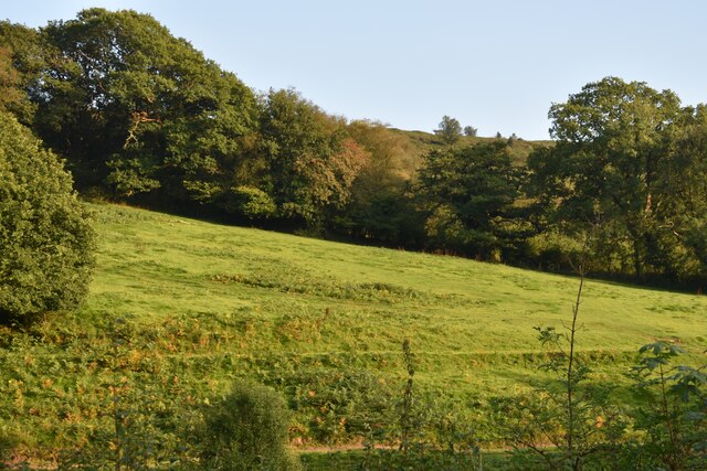
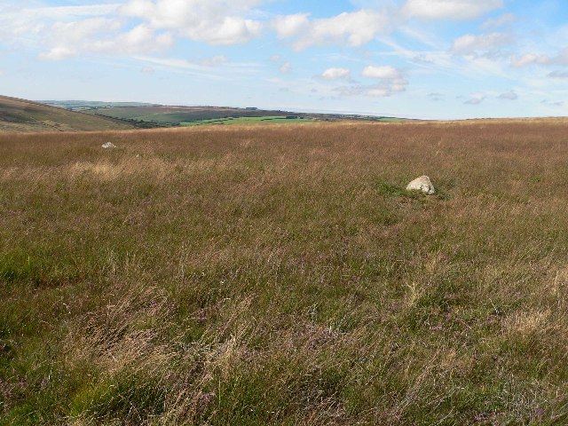
The downs, a prominent feature of Hawkridge Common, are rolling hills with expansive grasslands that provide breathtaking views of the surrounding countryside. These areas are often home to a variety of plant species, including wildflowers such as heather and gorse, as well as diverse bird populations.
Moorland, another characteristic of Hawkridge Common, is a type of habitat dominated by moor grasses and heather. This unique landscape offers a stark contrast to the downs, with its rugged terrain and vibrant purple hues during the flowering season. Moorland areas are often dotted with granite outcrops, providing an added element of visual interest.
Hawkridge Common is also home to a plethora of wildlife, including various bird species such as red grouse, skylarks, and peregrine falcons. The area is also known for its diverse plant life, including bilberry, bog asphodel, and cotton grass.
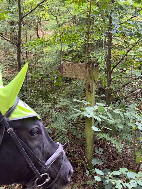
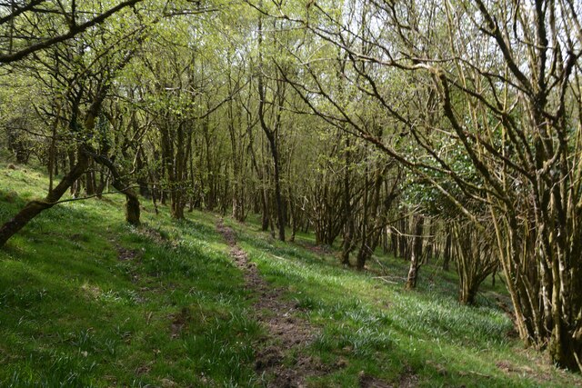
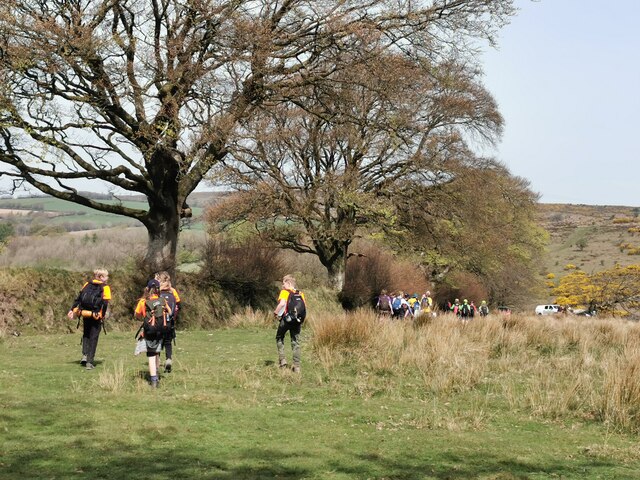
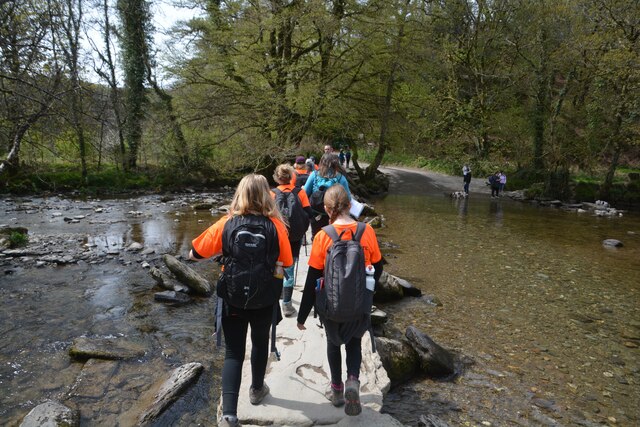
Beyond its natural beauty, Hawkridge Common offers recreational opportunities for visitors, ranging from hiking and birdwatching to picnicking and photography. The common is well-maintained, with designated paths and trails to explore, ensuring accessibility for all visitors.
Overall, Hawkridge Common in Somerset is a haven for nature enthusiasts, offering a diverse range of natural habitats, breathtaking views, and a rich tapestry of wildlife. Its unique combination of downs and moorland makes it a must-visit destination within the Exmoor National Park.
If you have any feedback on the listing, please let us know in the comments section below.
Hawkridge Common Images
Images are sourced within 2km of 51.071139/-3.6368784 or Grid Reference SS8531. Thanks to Geograph Open Source API. All images are credited.


Hawkridge Common is located at Grid Ref: SS8531 (Lat: 51.071139, Lng: -3.6368784)
Administrative County: Somerset
District: Somerset West and Taunton
Police Authority: Avon and Somerset
What 3 Words
///octagonal.talent.vines. Near Dulverton, Somerset
Nearby Locations
Related Wikis

Church of St Giles, Hawkridge
The Anglican Church of St Giles in Hawkridge, Somerset, England was built in the 14th century. It is a Grade II* listed building. == History == The oldest...

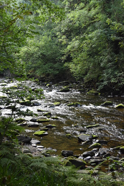
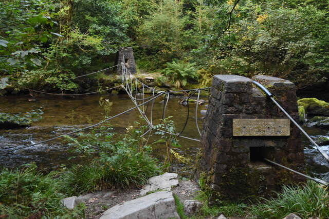
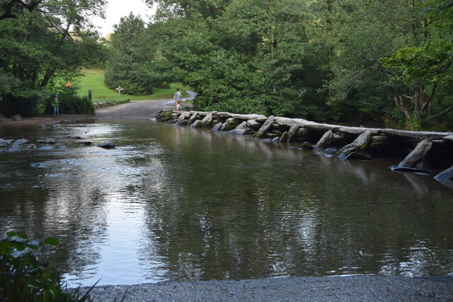
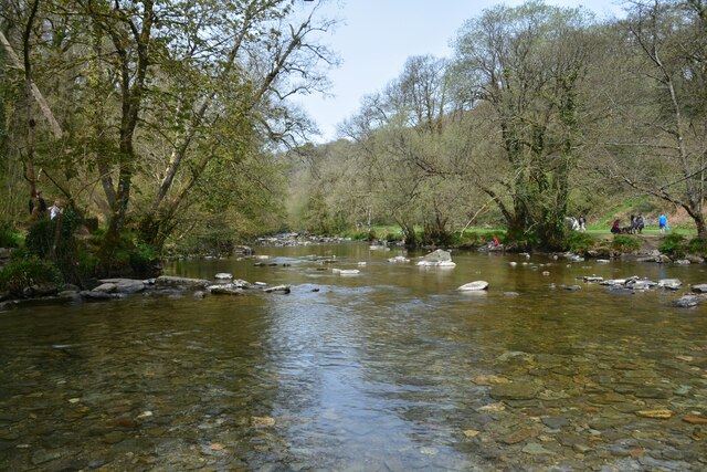
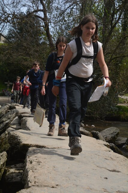
Tarr Steps
The Tarr Steps is a clapper bridge across the River Barle in the Exmoor National Park, Somerset, England. They are located in a national nature reserve...
Withypool Stone Circle
Withypool Stone Circle, also known as Withypool Hill Stone Circle, is a stone circle located on the Exmoor moorland, near the village of Withypool in the...

Brewer's Castle
Brewer's Castle is a defended Iron Age settlement in the West Somerset district of Somerset, England. The hill fort is situated approximately 2 miles...

Mounsey Castle
Mounsey Castle is an Iron Age irregular triangular earthwork of 1.75 hectares (4.3 acres) north west of Dulverton, Somerset, England. It has been scheduled...

Ashwick House, Dulverton
not to be confused with the 17th century Ashwick Court in eastern Somerset.Ashwick House is an Edwardian mansion in Ashwick, four miles northwest of Dulverton...

South Exmoor SSSI
South Exmoor (grid reference SS880340) is a 3132.7 hectare (7742.3 acre) biological Site of Special Scientific Interest in Devon and Somerset, England...

West Anstey
West Anstey is a village and civil parish on the River Yeo, about 5 miles west of Dulverton, in the North Devon district, in the county of Devon, England...
Nearby Amenities
Located within 500m of 51.071139,-3.6368784Have you been to Hawkridge Common?
Leave your review of Hawkridge Common below (or comments, questions and feedback).