Rydon Clump

Downs, Moorland in Devon Teignbridge

England

Rydon Clump

Track and lane junction, Barton Down The land on the right forms a triangle between the two lanes seen here and a lane from Kennick to the Teign valley, which the track ahead is curving to meet.
Track and lane junction, Barton Down Credit: Derek Harper

Rydon Clump is a picturesque area located in Devon, England. Nestled amidst the stunning countryside, it is a popular destination for nature lovers, hikers, and outdoor enthusiasts. Situated on the edge of Dartmoor National Park, it offers a unique blend of downs and moorland landscapes.

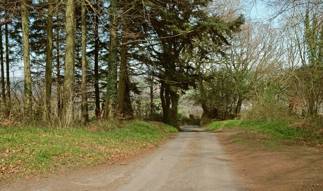
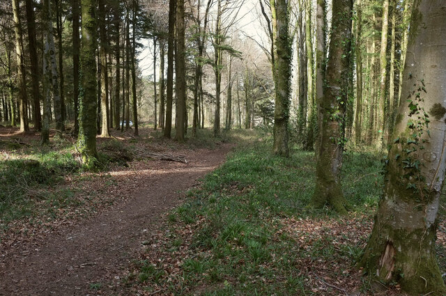
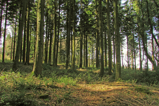
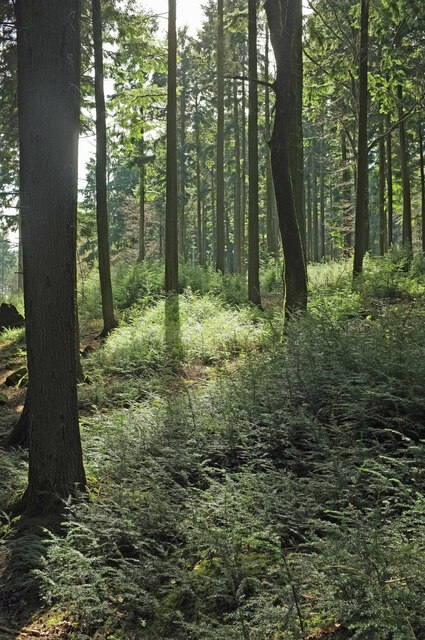
The Clump itself is a prominent hill, covered in dense woodland that provides a haven for a diverse range of flora and fauna. The trees, predominantly oak and beech, create a lush green canopy that offers shade and shelter to numerous species of birds and small animals. Walking through the Clump, visitors can enjoy the peaceful ambiance and observe the thriving ecosystem.

The area surrounding Rydon Clump is characterized by rolling hills, open plains, and vast expanses of moorland. The moorland is adorned with wildflowers during the summer months and serves as grazing land for sheep and Dartmoor ponies. The wide-open spaces provide breathtaking views of the surrounding countryside and offer ample opportunities for exploration and adventure.

Rydon Clump is also home to several walking and hiking trails, which cater to all ages and abilities. These well-maintained paths guide visitors through the diverse landscapes, allowing them to experience the beauty of the area up close. In addition to its natural features, the Clump boasts historical significance, with remnants of ancient settlements and burial sites scattered throughout the region.

Overall, Rydon Clump is a captivating destination that showcases the beauty and diversity of Devon's countryside. With its stunning views, abundant wildlife, and rich history, it offers a truly immersive experience for anyone seeking solace in nature.

If you have any feedback on the listing, please let us know in the comments section below.
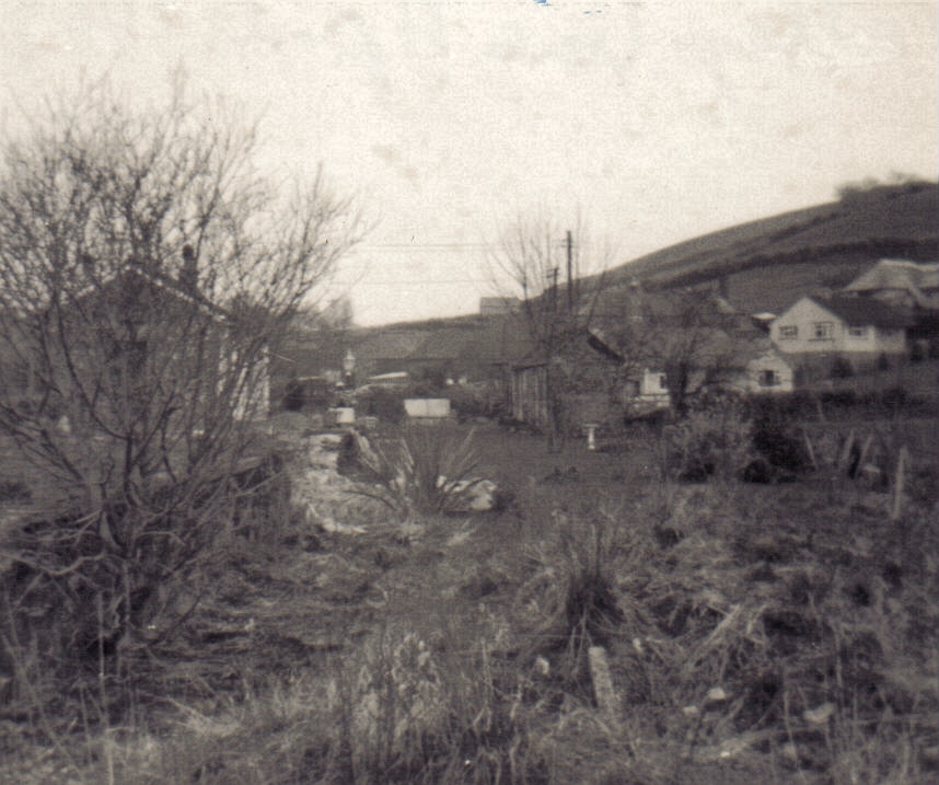
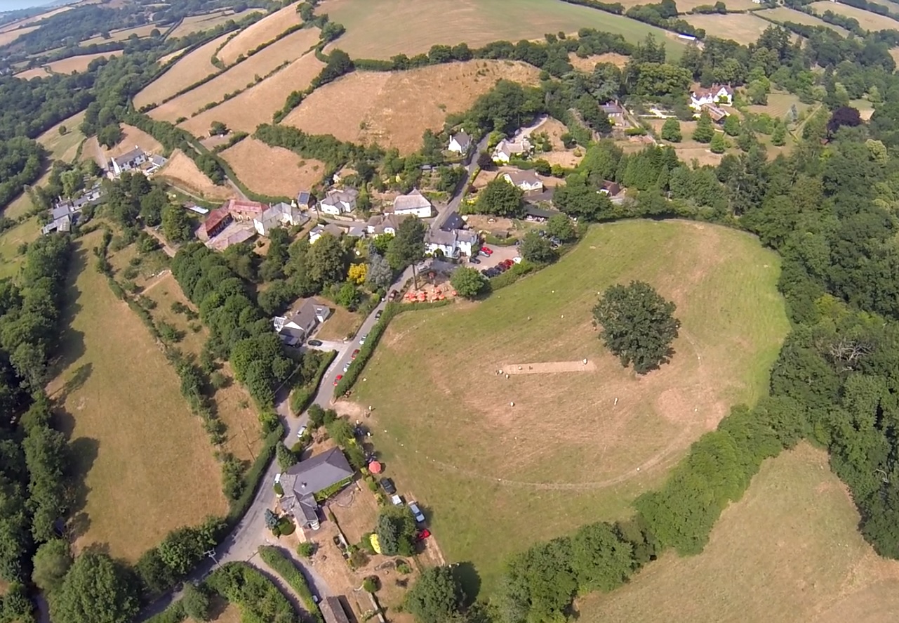
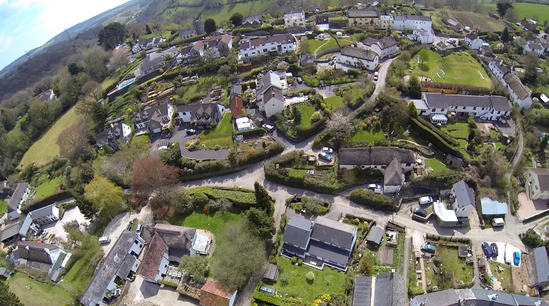
Rydon Clump Images

Images are sourced within 2km of 50.634913/-3.6344155 or Grid Reference SX8482. Thanks to Geograph Open Source API. All images are credited.

Track and lane junction, Barton Down The land on the right forms a triangle between the two lanes seen here and a lane from Kennick to the Teign valley, which the track ahead is curving to meet.
Track and lane junction, Barton Down
The land on the right forms a triangle between the two lanes seen here and a lane from Kennick to the Teign valley, which the track ahead is curving to meet.
Lane, Barton Down Looking right from <a href="https://www.geograph.org.uk/photo/6938187">SX8383 : Track and lane junction, Barton Down</a> to where the lane meets the other lane referred to, heading in the direction of the Teign valley.
Lane, Barton Down
Looking right from SX8383 : Track and lane junction, Barton Down to where the lane meets the other lane referred to, heading in the direction of the Teign valley.
Lane to Shuttamoor Looking in the other direction from <a href="https://www.geograph.org.uk/photo/6938196">SX8383 : Lane, Barton Down</a> and left from <a href="https://www.geograph.org.uk/photo/6938187">SX8383 : Track and lane junction, Barton Down</a>, with the woods closing in.
Lane to Shuttamoor
Looking in the other direction from SX8383 : Lane, Barton Down and left from SX8383 : Track and lane junction, Barton Down, with the woods closing in.
Field beside Barton Down The woodland is access land. The farmland isn't.
Field beside Barton Down
The woodland is access land. The farmland isn't.
Barton Down Woodland at about 215 metres above sea level. This looks back to the left from <a href="https://www.geograph.org.uk/photo/6938509">SX8383 : Field beside Barton Down</a>.
Barton Down
Woodland at about 215 metres above sea level. This looks back to the left from SX8383 : Field beside Barton Down.
Fallen tree, Barton Down Close to the angle of the field (shown in <a href="https://www.geograph.org.uk/photo/6938509">SX8383 : Field beside Barton Down</a>) round which the woodland grows.
Fallen tree, Barton Down
Close to the angle of the field (shown in SX8383 : Field beside Barton Down) round which the woodland grows.
Barton Down Near the angle mentioned at <a href="https://www.geograph.org.uk/photo/6938690">SX8383 : Fallen tree, Barton Down</a>.
Barton Down
Near the angle mentioned at SX8383 : Fallen tree, Barton Down.
Woodland, Barton Down Dtopping away towards farmland.
Woodland, Barton Down
Dtopping away towards farmland.
Field boundary, Barton Down A gap in an old wall running through the woodland.
Field boundary, Barton Down
A gap in an old wall running through the woodland.
Field boundary, Barton Down Looking along the old wall seen in <a href="https://www.geograph.org.uk/photo/6939546">SX8383 : Field boundary, Barton Down</a>.
Field boundary, Barton Down
Looking along the old wall seen in SX8383 : Field boundary, Barton Down.
Woodland, Barton Down Looking right from <a href="https://www.geograph.org.uk/photo/6939777">SX8382 : Field boundary, Barton Down</a>.
Woodland, Barton Down
Woodland, Barton Down With a mass of tiny conifer saplings.
Woodland, Barton Down
With a mass of tiny conifer saplings.
Conifer sapling, Barton Down One of the many shown in <a href="https://www.geograph.org.uk/photo/6939788">SX8382 : Woodland, Barton Down</a>. It looks rather like yew.
Conifer sapling, Barton Down
One of the many shown in SX8382 : Woodland, Barton Down. It looks rather like yew.
Ride, Barton Down A main route used by cyclists across the access woodland.
Ride, Barton Down
A main route used by cyclists across the access woodland.
Woodland, Barton Down From the ride shown in <a href="https://www.geograph.org.uk/photo/6939794">SX8383 : Ride, Barton Down</a>.
Woodland, Barton Down
From the ride shown in SX8383 : Ride, Barton Down.
Ride, Barton Down Taken further south along the track shown in <a href="https://www.geograph.org.uk/photo/6939794">SX8383 : Ride, Barton Down</a>.
Ride, Barton Down
Taken further south along the track shown in SX8383 : Ride, Barton Down.
Junction, Barton Down A path turns off the ride shown in <a href="https://www.geograph.org.uk/photo/6939794">SX8383 : Ride, Barton Down</a>.
Junction, Barton Down
A path turns off the ride shown in SX8383 : Ride, Barton Down.
Woodland, Barton Down A contrejour shot from the path on the right of <a href="https://www.geograph.org.uk/photo/6944975">SX8382 : Junction, Barton Down</a>.
Woodland, Barton Down
A contrejour shot from the path on the right of SX8382 : Junction, Barton Down.
Show me another place!

Rydon Clump is located at Grid Ref: SX8482 (Lat: 50.634913, Lng: -3.6344155)

Administrative County: Devon

District: Teignbridge

Police Authority: Devon and Cornwall

What 3 Words

///paces.kickbacks.custodial. Near Chudleigh, Devon

Related Wikis

Ashton railway station

Ashton railway station was a railway station serving the village of Ashton in Devon, England. It was located on the Teign Valley line. == History == The...

Lower Ashton

Lower Ashton is a village on the western slopes of Haldon in Teignbridge, Devon, England. Along with Higher Ashton it is part of the civil parish of Ashton...

Trusham

Trusham is a small village in the Teign Valley, between Newton Abbot and Exeter, in Devon, England. The name originates from the Celtic Trisma, meaning...

Canonteign Falls

Canonteign Falls is a waterfall in the historic tything of Canonteign in the Teign Valley and Dartmoor National Park near Chudleigh, South Devon, England...

Nearby Amenities

Located within 500m of 50.634913,-3.6344155
Generator Method: photovoltaic
Generator Output Electricity: yes
Generator Source: solar
Generator Type: solar_photovoltaic_panel
Location: roof
Power: generator
Lat/Long: 50.6345822/-3.6327624
Generator Method: photovoltaic
Generator Output Electricity: yes
Generator Source: solar
Generator Type: solar_photovoltaic_panel
Location: roof
Power: generator
Lat/Long: 50.6346111/-3.6328027
Post Office
Lower Ashton Post Office
Addr City: Exeter
Addr Housename: Teign Valley Golf Cubl
Addr Place: Christow
Addr Postcode: EX6 7PA
Opening Hours: Tu 12:15-14:15
Ref Pol Id: 146540
Source: pol_branch_list_2020‑11‑13
Lat/Long: 50.6381727/-3.6388844
The data included in this document is from www.openstreetmap.org. The data is made available under ODbL.

Have you been to Rydon Clump?

Leave your review of Rydon Clump below (or comments, questions and feedback).