Mòine a' Cheirde
Downs, Moorland in Perthshire
Scotland
Mòine a' Cheirde

Mòine a' Cheirde, located in Perthshire, Scotland, is a vast expanse of downs and moorland that offers a unique and picturesque landscape. Spanning over several thousand hectares, this area is characterized by its rolling hills, heather-covered moors, and meandering streams.
The terrain of Mòine a' Cheirde is predominantly composed of peat, a type of soil formed from the slow decomposition of plant matter over thousands of years. This peatland ecosystem provides a rich habitat for a diverse range of flora and fauna. Visitors to the area can expect to encounter a variety of plant species, including heather, cotton grass, and bog myrtle. The moorland also supports populations of birds such as golden plover, curlew, and red grouse.
In addition to its natural beauty, Mòine a' Cheirde holds historical and cultural significance. The area has evidence of human activity dating back thousands of years, with remnants of ancient settlements and burial sites scattered throughout the landscape. It is believed that these sites were once inhabited by Neolithic and Bronze Age communities.
Mòine a' Cheirde offers visitors a chance to immerse themselves in the tranquility of the Scottish countryside. The area is crisscrossed with walking trails, allowing hikers to explore the diverse terrain and take in the breathtaking panoramic views. It is also a popular spot for birdwatching, photography, and nature enthusiasts seeking a peaceful retreat.
Overall, Mòine a' Cheirde in Perthshire showcases the natural beauty and rich history of the Scottish moorland, providing a captivating and serene experience for all who visit.
If you have any feedback on the listing, please let us know in the comments section below.
Mòine a' Cheirde Images
Images are sourced within 2km of 56.747227/-3.8900807 or Grid Reference NN8463. Thanks to Geograph Open Source API. All images are credited.


Mòine a' Cheirde is located at Grid Ref: NN8463 (Lat: 56.747227, Lng: -3.8900807)
Unitary Authority: Perth and Kinross
Police Authority: Tayside
What 3 Words
///announce.subtitle.exam. Near Blair Atholl, Perth & Kinross
Nearby Locations
Related Wikis

Black Island Platform railway station
Black Island Platform railway station, Blair Atholl, Perth and Kinross, Scotland, was located at an area known as the Black Island beside the River Garry...

Loch Bhac
Loch Bhac (Bhaic or Vach) is a fine freshwater trout loch, located in the west part of the Allean Forest, and east part of Tay Forest park, and slightly...

Old Blair
Old Blair is a tiny village of 18th century stone houses in Perth and Kinross, Scotland, adjoining and overlooking the grounds of Blair Castle. It is...
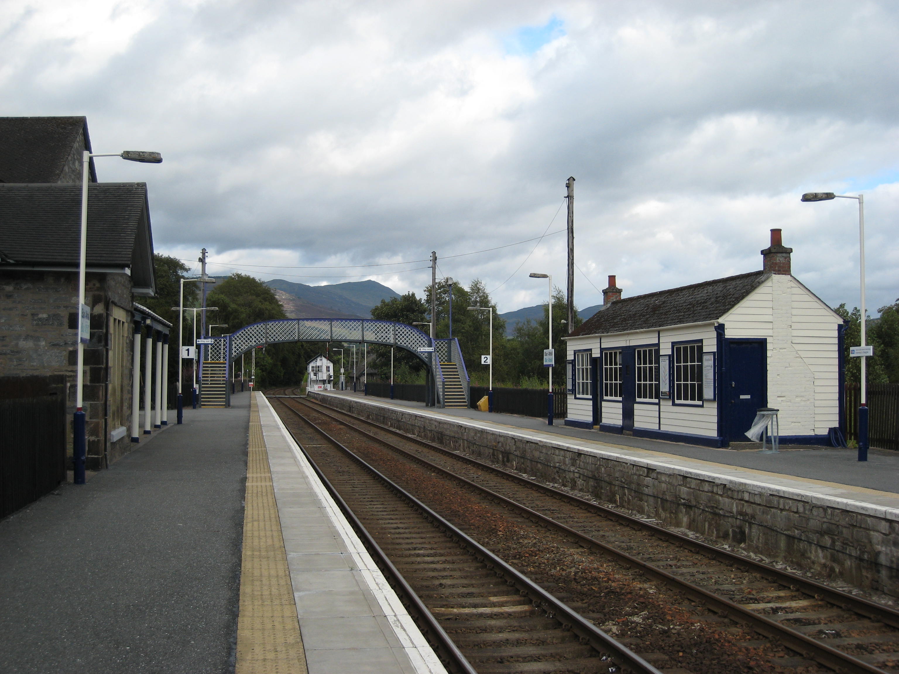
Blair Atholl railway station
Blair Atholl railway station is a railway station serving the town of Blair Atholl, Perth and Kinross, Scotland. The station is managed by ScotRail and...
Have you been to Mòine a' Cheirde?
Leave your review of Mòine a' Cheirde below (or comments, questions and feedback).