Almsworthy Common

Downs, Moorland in Somerset Somerset West and Taunton

England

Almsworthy Common

Ordnance Survey Cut Mark This OS cut mark can be found on the gatepost SE side of the road. It marks a point 415.420m above mean sea level.
Ordnance Survey Cut Mark Credit: Adrian Dust

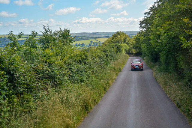
Almsworthy Common is a picturesque area located in Somerset, England. Nestled between the rolling hills of the Somerset Downs and the vast stretches of moorland, it encompasses a diverse landscape that attracts nature enthusiasts and outdoor adventurers alike.

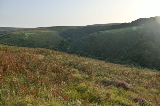
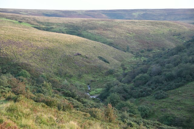
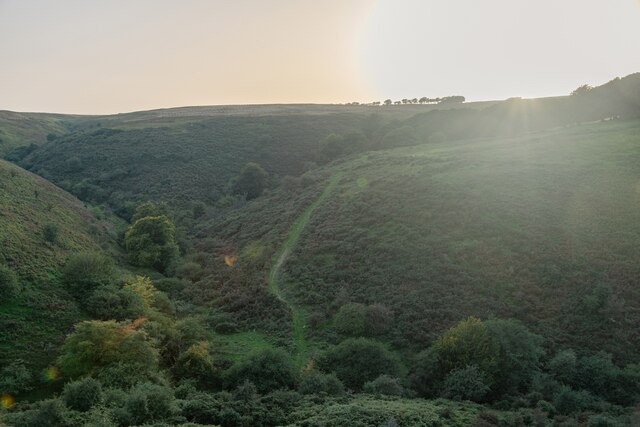
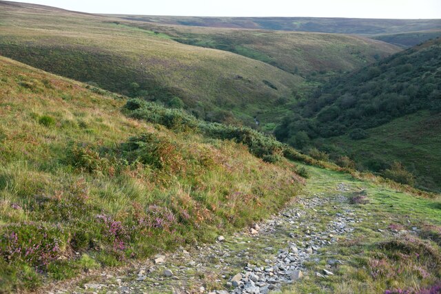
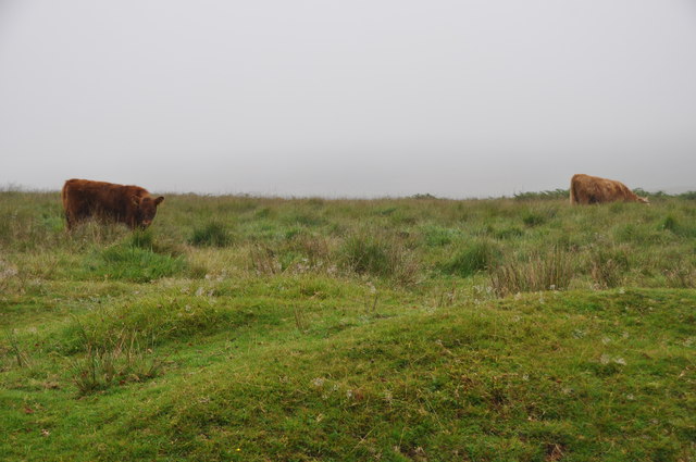
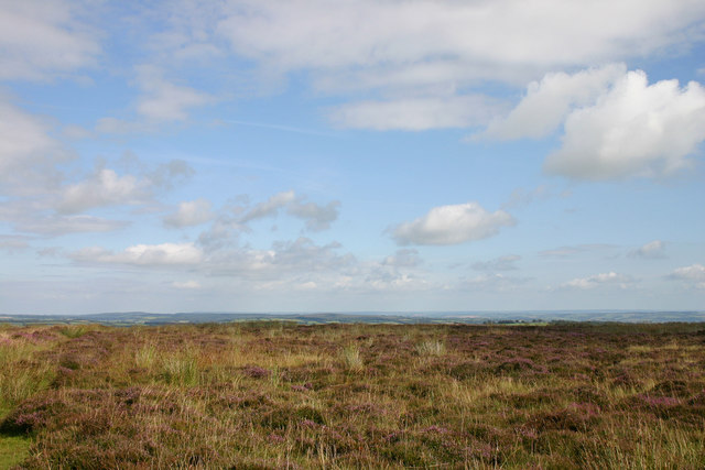
Covering an area of approximately 500 acres, the common is characterized by its patchwork of heather-covered moors, open grasslands, and dense woodlands. The moorland, in particular, offers visitors a chance to witness a unique ecosystem, with its rare plant species and diverse birdlife.

The Somerset Downs, which border Almsworthy Common, provide stunning panoramic views of the surrounding countryside. These rolling hills are a sight to behold, especially during the summer months when they transform into a tapestry of vibrant wildflowers.

The common is also home to a variety of wildlife, including deer, foxes, badgers, and numerous bird species. Birdwatchers can spot kestrels, buzzards, and even the occasional peregrine falcon soaring through the skies.

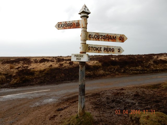
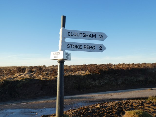
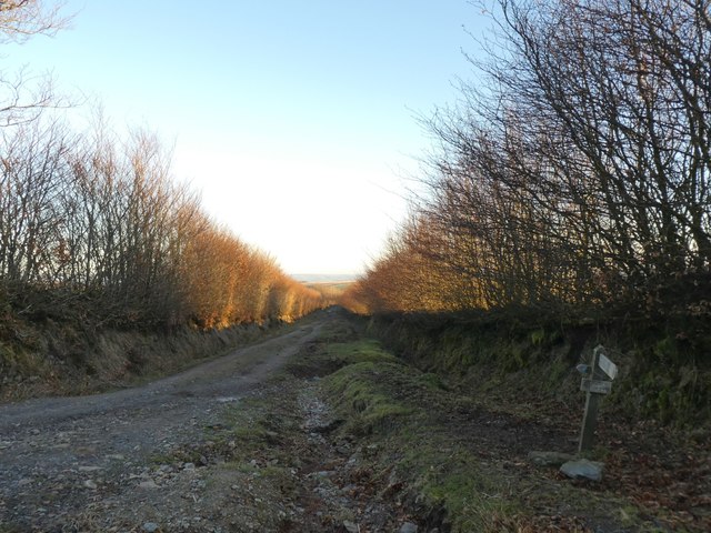
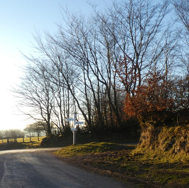
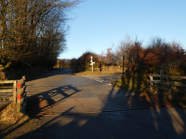
For those seeking outdoor activities, Almsworthy Common offers plenty of opportunities for hiking, cycling, and horseback riding. There are several well-marked trails that wind through the common, allowing visitors to explore its diverse landscapes at their own pace.

In conclusion, Almsworthy Common in Somerset is a captivating natural haven offering a rich tapestry of moorland, downs, and woodlands. Its diverse ecosystem, stunning views, and array of outdoor activities make it a must-visit destination for nature lovers and adventure seekers.

If you have any feedback on the listing, please let us know in the comments section below.

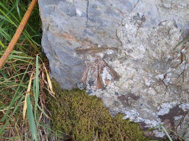
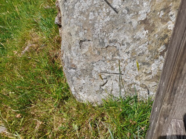
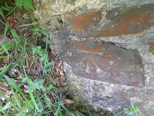
Almsworthy Common Images

Images are sourced within 2km of 51.16405/-3.6568856 or Grid Reference SS8441. Thanks to Geograph Open Source API. All images are credited.

Ordnance Survey Cut Mark This OS cut mark can be found on the gatepost SE side of the road. It marks a point 415.420m above mean sea level.
Ordnance Survey Cut Mark
This OS cut mark can be found on the gatepost SE side of the road. It marks a point 415.420m above mean sea level.
Ordnance Survey Cut Mark This OS cut mark can be found on the gatepost NW side of the road. It marks a point 401.506m above mean sea level.
Ordnance Survey Cut Mark
This OS cut mark can be found on the gatepost NW side of the road. It marks a point 401.506m above mean sea level.
Ordnance Survey Cut Mark This OS cut mark can be found on the gatepost SE side of the road. It marks a point 417.302m above mean sea level.
Ordnance Survey Cut Mark
This OS cut mark can be found on the gatepost SE side of the road. It marks a point 417.302m above mean sea level.
Ordnance Survey Rivet This OS rivet can be found on a stone NW side of the road. It marks a point 435.739m above mean sea level.
Ordnance Survey Rivet
This OS rivet can be found on a stone NW side of the road. It marks a point 435.739m above mean sea level.
Luccombe : Exmoor Scenery Looking across the moorland above the Nutscale Reservoir and stream.
Luccombe : Exmoor Scenery
Looking across the moorland above the Nutscale Reservoir and stream.
Luccombe : Exmoor Scenery Looking down into the valley of Nutscale Water.
Luccombe : Exmoor Scenery
Looking down into the valley of Nutscale Water.
Luccombe : Exmoor Scenery Looking across the hillsides of Exmoor.
Luccombe : Exmoor Scenery
Looking across the hillsides of Exmoor.
Luccombe : Exmoor Scenery A track heads over the moorland.
Luccombe : Exmoor Scenery
A track heads over the moorland.
West Somerset : Highland Cattle A highland cattle grazing on Exmoor.
West Somerset : Highland Cattle
A highland cattle grazing on Exmoor.
West Somerset : Exmoor Scenery Looking out across the Exmoor moorland with some cattle grazing.
West Somerset : Exmoor Scenery
Looking out across the Exmoor moorland with some cattle grazing.
Heather on Exmoor Exmoor has wide open spaces covered by heather (Erica Species) and offers the best vistas in this part of the country.
Heather on Exmoor
Exmoor has wide open spaces covered by heather (Erica Species) and offers the best vistas in this part of the country.
Old Direction Sign - Signpost by Porlock Post, Exford Parish Pyramid finial - 3 arms; Somerset SCC pyramid and name by the UC road, in parish of Exford (West Somerset District), Porlock Post, on open junction.

Surveyed

Milestone Society National ID: SO_SS8641.
Old Direction Sign - Signpost by Porlock Post, Exford Parish
Pyramid finial - 3 arms; Somerset SCC pyramid and name by the UC road, in parish of Exford (West Somerset District), Porlock Post, on open junction. Surveyed Milestone Society National ID: SO_SS8641.
Gate and bank south-east of Porlock Post The small sign on the left points along Macmillan Way West towards Dunkery Beacon
Gate and bank south-east of Porlock Post
The small sign on the left points along Macmillan Way West towards Dunkery Beacon
Signpost at Porlock Post The signpost has been decapitated and one finger removed <a href="https://www.geograph.org.uk/photo/3429762">SS8641 : Porlock Post</a>
Signpost at Porlock Post
The signpost has been decapitated and one finger removed SS8641 : Porlock Post
Track across Hoar Moor The deep ditches on each side are evidence of land reclaimed from marshland
Track across Hoar Moor
The deep ditches on each side are evidence of land reclaimed from marshland
Hillhead Cross
Hillhead Cross
Cattle grid at Hillhead Cross
Exford : Mill Lane Looking along Mill Lane on Exmoor.
Exford : Mill Lane
Looking along Mill Lane on Exmoor.
Show me another place!

Almsworthy Common is located at Grid Ref: SS8441 (Lat: 51.16405, Lng: -3.6568856)

Administrative County: Somerset

District: Somerset West and Taunton

Police Authority: Avon and Somerset

What 3 Words

///annotated.unions.deed. Near Porlock, Somerset

Nearby Locations

Almsworthy Common

Related Wikis

Have you been to Almsworthy Common?

Leave your review of Almsworthy Common below (or comments, questions and feedback).