Whitefield Moor

Downs, Moorland in Devon North Devon

England

Whitefield Moor

Partridge Arms Farm Formerly an inn, now an excellent B&B on the edge of Exmoor
Partridge Arms Farm Credit: John Phillips

Whitefield Moor, located in Devon, England, is a picturesque expanse of downs and moorland that covers an area of approximately 1,500 acres. Situated within Dartmoor National Park, this stunning landscape offers visitors a unique blend of rugged beauty and tranquil surroundings.

The moorland of Whitefield Moor is characterized by its rolling hills, vast open spaces, and heather-covered terrain. Visitors can expect to see a wide variety of flora and fauna, including vibrant wildflowers, mosses, and lichens, as well as a diverse range of bird species such as skylarks and wheatears.

Whitefield Moor is also home to a number of historical and archaeological features. The area is scattered with ancient stone circles and stone rows, providing a glimpse into the region's rich prehistoric past. Additionally, the remnants of Bronze Age settlements and burial sites can be found, adding an air of mystery and intrigue to the landscape.

Outdoor enthusiasts flock to Whitefield Moor for its excellent walking and hiking opportunities. The moorland is crisscrossed by a network of footpaths and trails, offering visitors the chance to explore the area's natural beauty at their own pace. The panoramic views from the higher points of the moor are truly breathtaking, providing a sense of awe and wonder.

Overall, Whitefield Moor in Devon is a captivating destination for nature lovers, history enthusiasts, and those seeking a peaceful escape from the hustle and bustle of everyday life. With its stunning natural scenery, rich archaeological heritage, and abundance of recreational activities, it truly is a hidden gem within Dartmoor National Park.

If you have any feedback on the listing, please let us know in the comments section below.

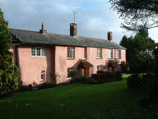
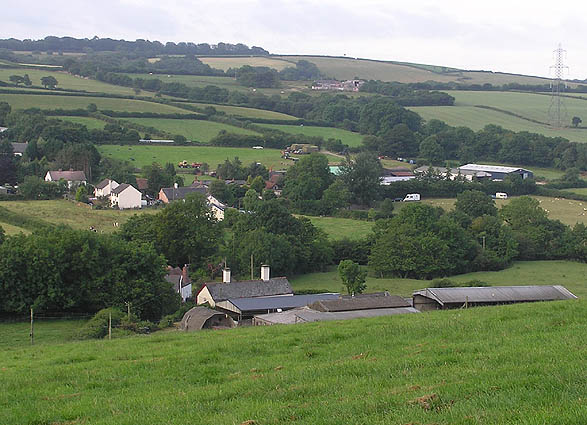
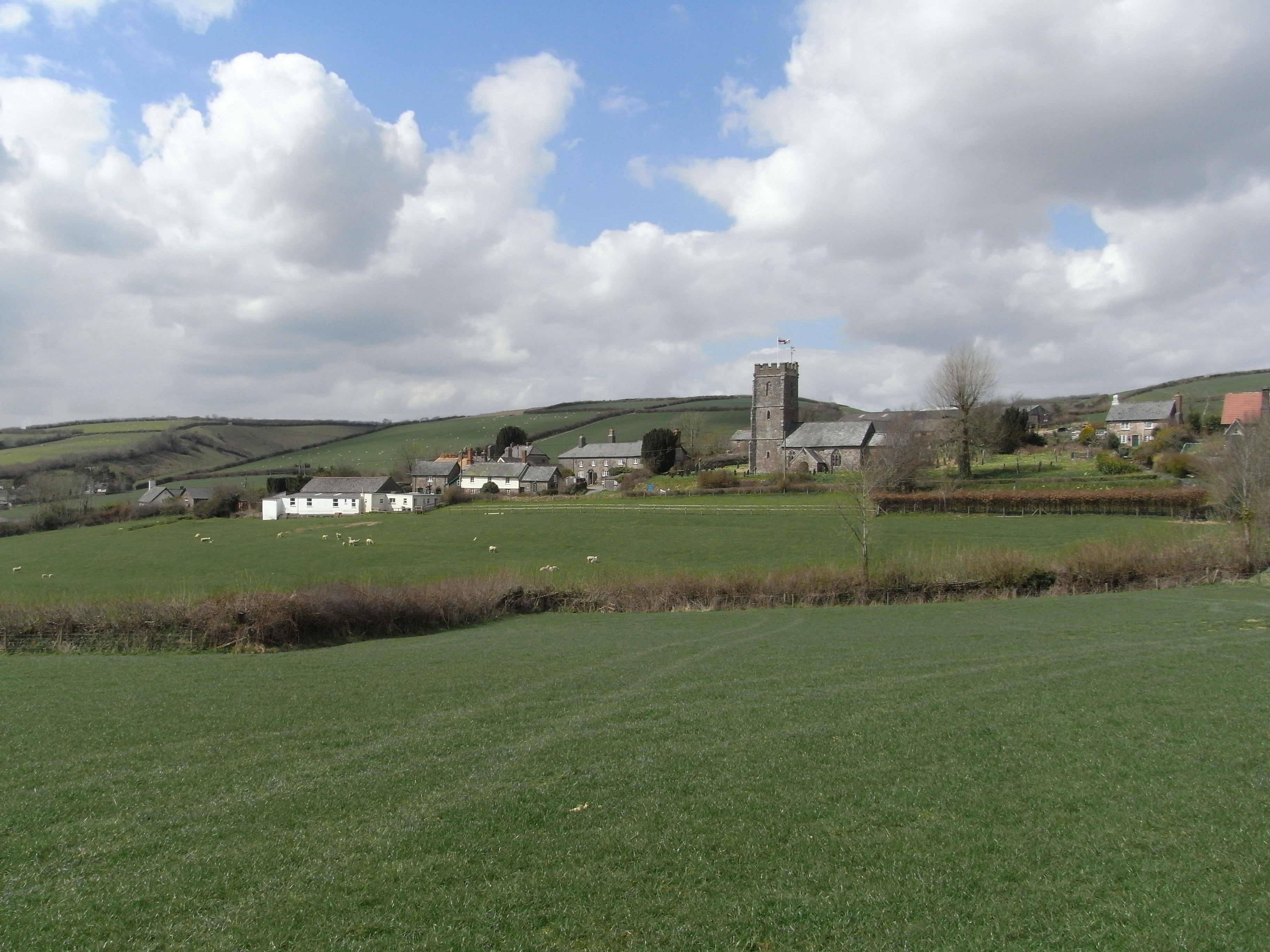
Whitefield Moor Images

Images are sourced within 2km of 51.00961/-3.6515031 or Grid Reference SS8424. Thanks to Geograph Open Source API. All images are credited.

Partridge Arms Farm Formerly an inn, now an excellent B&B on the edge of Exmoor
Partridge Arms Farm
Formerly an inn, now an excellent B&B on the edge of Exmoor
Yeo Mills looking SW across the valley
Knowstone: Shapcott Barton Seen from the public footpath to East Knowstone. Looking north
Knowstone: Shapcott Barton
Seen from the public footpath to East Knowstone. Looking north
Knowstone: public footpath By the entrance to Shapcott Barton and a little overgrown. Looking west
Knowstone: public footpath
By the entrance to Shapcott Barton and a little overgrown. Looking west
East Anstey: Jubilee Inn A 20th century inn by the B3227 Taunton - Bampton - South Molton road, an early 19th century turnpike, now pleasantly quiet after much of its traffic has transferred to the North Devon Link Road. Looking east-north-east
East Anstey: Jubilee Inn
A 20th century inn by the B3227 Taunton - Bampton - South Molton road, an early 19th century turnpike, now pleasantly quiet after much of its traffic has transferred to the North Devon Link Road. Looking east-north-east
East Anstey: by Yanhey Moor Woodland by the entrance to Higher Radnidge Farm and Radnidge House. Looking south-south-east
East Anstey: by Yanhey Moor
Woodland by the entrance to Higher Radnidge Farm and Radnidge House. Looking south-south-east
East Anstey: Smallacombe Moors Looking south east towards Blackerton
East Anstey: Smallacombe Moors
Looking south east towards Blackerton
West Anstey: saw mill By the Two Moors Way. An old tractor adapted to split logs and also to cut them, using a circular saw. Looking east-north-east on the road leading to Yeo Mill
West Anstey: saw mill
By the Two Moors Way. An old tractor adapted to split logs and also to cut them, using a circular saw. Looking east-north-east on the road leading to Yeo Mill
East Anstey: by Smallacombe Farm On the road to Oldways End, looking east-south-east. The entrance to Smallacombe Farm is on the right by the trees
East Anstey: by Smallacombe Farm
On the road to Oldways End, looking east-south-east. The entrance to Smallacombe Farm is on the right by the trees
East Anstey: by Smallacombe Moors Looking west-south-west
East Anstey: by Smallacombe Moors
Looking west-south-west
East Anstey: woodland near Whiteford Cross Seen from a lay-by on the B3227 Bampton – South Molton road. Looking south-south-west
East Anstey: woodland near Whiteford Cross
Seen from a lay-by on the B3227 Bampton – South Molton road. Looking south-south-west
East Anstey: approaching Whiteford Cross On the B3227 Bampton – South Molton road, looking west-north-west
East Anstey: approaching Whiteford Cross
On the B3227 Bampton – South Molton road, looking west-north-west
Knowstone: by New Barn Moor On the lane from Wiston Cross to Whitefield Cross, looking north-north-west
Knowstone: by New Barn Moor
On the lane from Wiston Cross to Whitefield Cross, looking north-north-west
Knowstone: towards Luckett In the valley of the Crooked Oak, looking north-north-west. Only the foreground is in the square
Knowstone: towards Luckett
In the valley of the Crooked Oak, looking north-north-west. Only the foreground is in the square
Knowstone: Barton A farmyard by the lane at East Knowstone. Looking south east
Knowstone: Barton
A farmyard by the lane at East Knowstone. Looking south east
Knowstone: Owlaborough Moor Seen from the Two Moors Way, looking south
Knowstone: Owlaborough Moor
Seen from the Two Moors Way, looking south
Molland: towards East Barton Looking north-north-east by the entrance to the farm, with Exmoor beyond
Molland: towards East Barton
Looking north-north-east by the entrance to the farm, with Exmoor beyond
Road junction by Eastcote Farm
Show me another place!

Whitefield Moor is located at Grid Ref: SS8424 (Lat: 51.00961, Lng: -3.6515031)

Administrative County: Devon

District: North Devon

Police Authority: Devon and Cornwall

What 3 Words

///slip.groups.theory. Near Dulverton, Somerset

Nearby Locations

Whitefield Moor

Related Wikis

Knowstone

Knowstone is a village and civil parish situated in the North Devon district of Devon, England, halfway between the Mid Devon town of Tiverton, Devon and...

Roachill

Roachill is a hamlet in the civil parish of Knowstone in the North Devon district of Devon, England. Its nearest town is Tiverton, which lies approximately...

Oldways End

Oldways End is a hamlet in the civil parish of East Anstey in the North Devon district of Devon, England. Its nearest town is Tiverton, which lies approximately...

East Anstey

East Anstey is a village and civil parish in the North Devon district of Devon, England. The parish is located in an area which has been designated as...

West Anstey

West Anstey is a village and civil parish on the River Yeo, about 5 miles west of Dulverton, in the North Devon district, in the county of Devon, England...

Rackenford and Knowstone Moors

Rackenford and Knowstone Moors is a nature reserve of the Devon Wildlife Trust, situated about 8 miles (13 km) north-west of Tiverton, in Devon, England...

Briggins Moor

Briggins Moor is a 15.3 hectare biological Site of Special Scientific Interest in Somerset, notified in 1994. The site is south of Dulverton and close...

Molland

Molland is a small village, civil parish, dual ecclesiastical parish with Knowstone, located in the foothills of Exmoor in Devon, England. It lies within...

Nearby Amenities

Located within 500m of 51.00961,-3.6515031
New Moor Cross
Junction: yes
Lat/Long: 51.0123607/-3.6500407
Pub
Jubilee Inn
Website: http://www.jubileeinn.org.uk/
Wikidata: Q80476621
Lat/Long: 51.0127251/-3.6495655
Post Box
Operator: Royal Mail
Post Box Type: lamp
Ref: EX36 248
Royal Cypher: EIIR
Royal Cypher Wikidata: Q33102113
Lat/Long: 51.0125665/-3.650118
The data included in this document is from www.openstreetmap.org. The data is made available under ODbL.

Have you been to Whitefield Moor?

Leave your review of Whitefield Moor below (or comments, questions and feedback).