Muir of Bannockburn
Downs, Moorland in Stirlingshire
Scotland
Muir of Bannockburn
Muir of Bannockburn is a vast expanse of downs and moorland located in Stirlingshire, Scotland. Situated just south of the village of Bannockburn, it covers an area of approximately 6 square kilometers. The moorland is characterized by its rolling hills, heather-covered landscapes, and open grassy areas, creating a picturesque and serene natural environment.
The primary vegetation found in Muir of Bannockburn consists of heather, grasses, and scattered shrubs, which provide an ideal habitat for various wildlife species. Visitors may catch sight of birds such as red grouse, skylarks, and meadow pipits, or glimpse the occasional hare bounding across the moorland. The area is also home to several species of butterflies and insects, adding to its biodiversity.
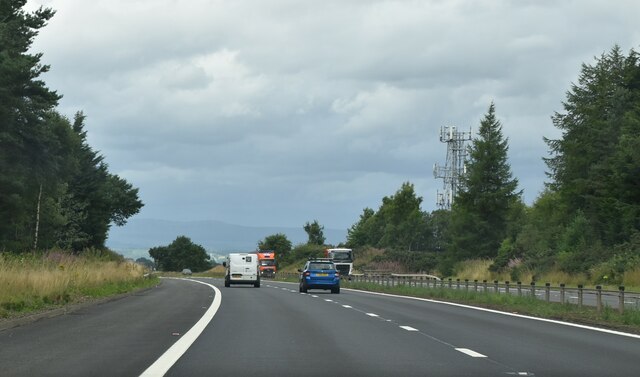
The moorland offers a range of walking and hiking opportunities, with well-marked trails winding through the landscape. It provides a fantastic vantage point to admire the surrounding countryside, including views of the Ochil Hills to the east and the Campsie Fells to the west. On a clear day, visitors may even be able to see as far as the Trossachs National Park to the north.
Muir of Bannockburn holds historical significance too, as it was the site of the famous Battle of Bannockburn in 1314, where the Scottish army, led by Robert the Bruce, emerged victorious over the English forces during the First War of Scottish Independence. The site is marked by a monument and visitor center, allowing visitors to delve into the history of this significant event.
Overall, Muir of Bannockburn offers a beautiful natural setting with rich biodiversity and historical importance, attracting nature enthusiasts, history buffs, and those seeking a tranquil escape.
If you have any feedback on the listing, please let us know in the comments section below.
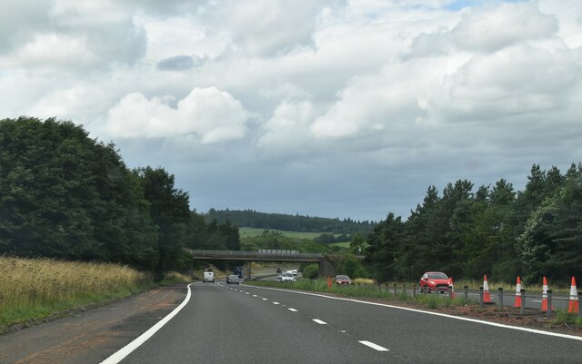
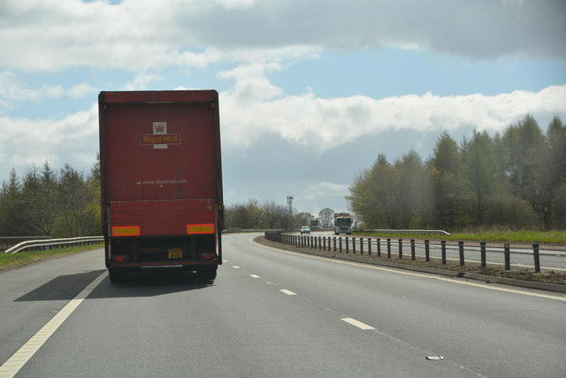
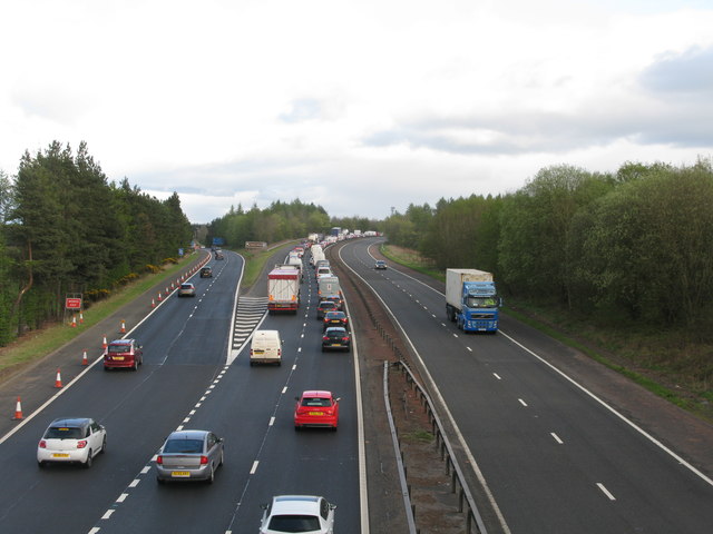
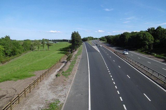
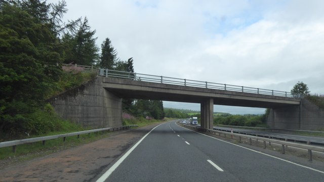
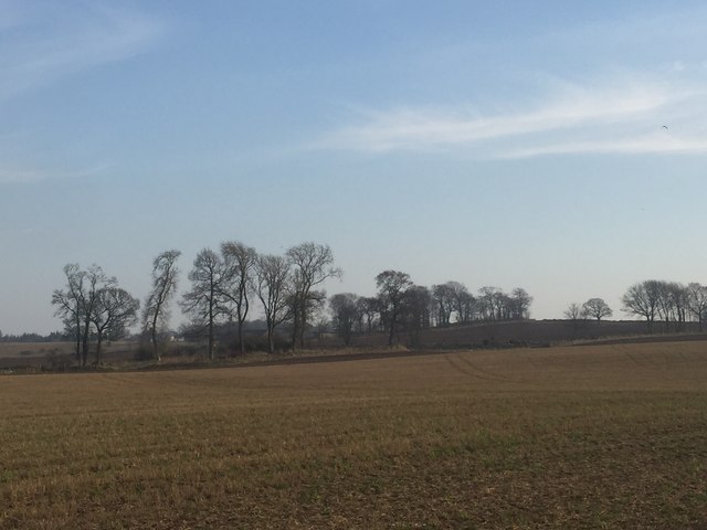
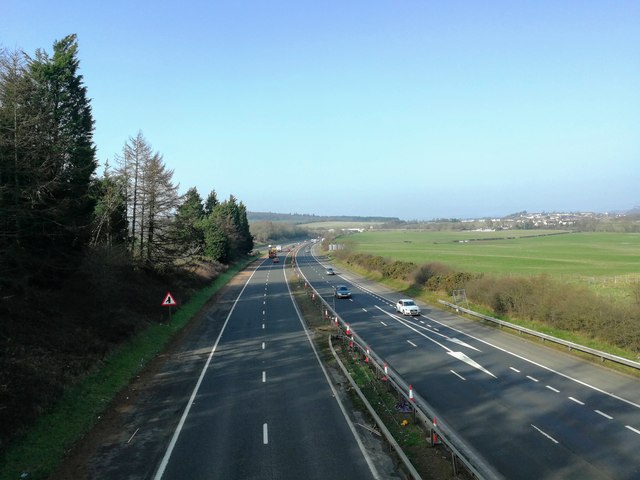
Muir of Bannockburn Images
Images are sourced within 2km of 56.082478/-3.9060557 or Grid Reference NS8189. Thanks to Geograph Open Source API. All images are credited.


Muir of Bannockburn is located at Grid Ref: NS8189 (Lat: 56.082478, Lng: -3.9060557)
Unitary Authority: Stirling
Police Authority: Forth Valley
What 3 Words
///email.exhaling.talked. Near Bannockburn, Stirling
Nearby Locations
Related Wikis
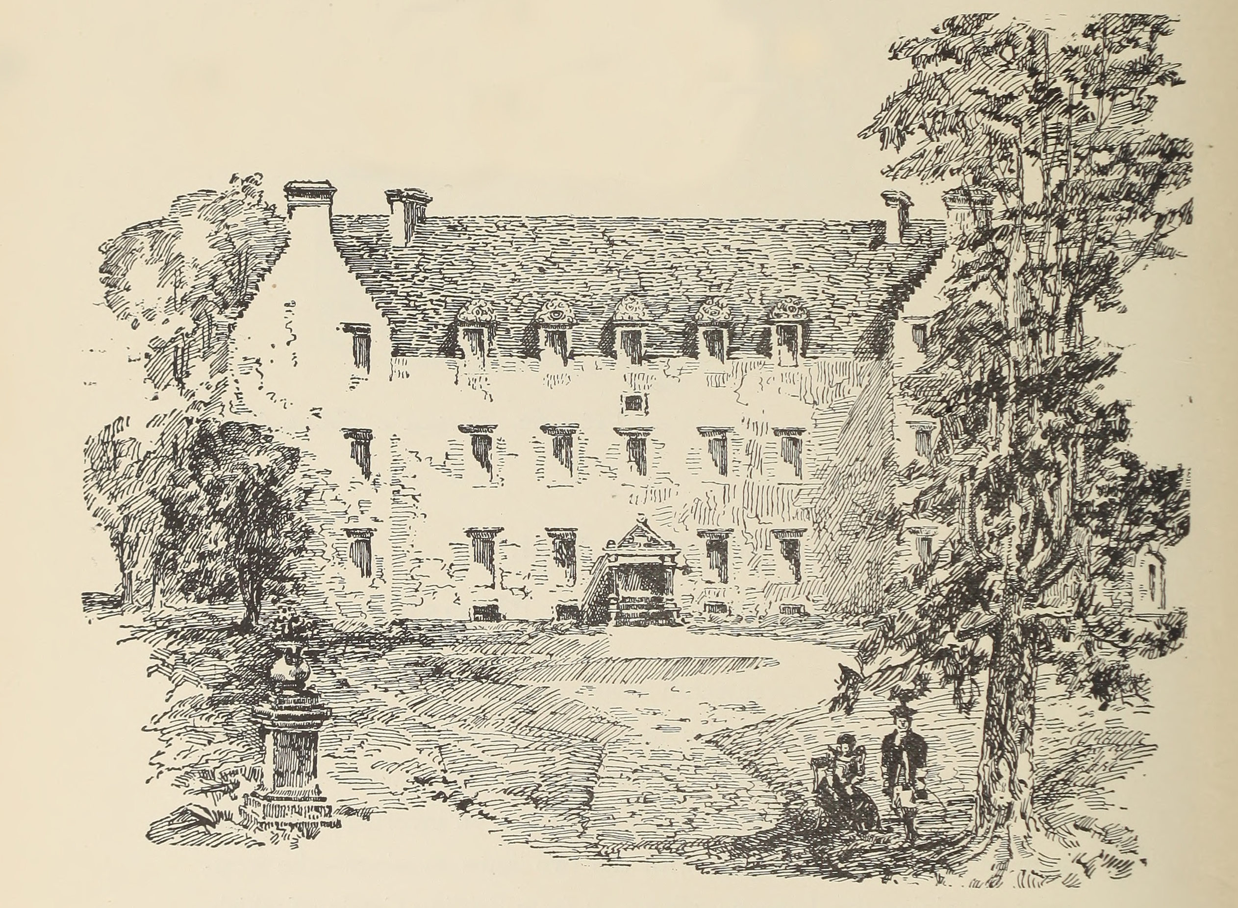
Bannockburn House
Bannockburn House is a property of historical significance in the town of Bannockburn. It is a Category A listed building. == History == Bannockburn House...

Bannockburn
Bannockburn (Scottish Gaelic Allt a' Bhonnaich) is an area immediately south of the centre of Stirling in Scotland. It is part of the City of Stirling...

Bannockburn railway station
Bannockburn railway station served the town of Bannockburn, Stirlingshire, Scotland from 1848 to 1950 on the Scottish Central Railway. == History == The...
Stirling services
Stirling services is a motorway service station near Stirling, Scotland. The service station is located where the M9 motorway and M80 motorway join. It...

Broomridge
Broomridge is a district in the south of the city of Stirling, Scotland, located north of Bannockburn and east of St. Ninians. It is home to Bannockburn...
Battle of Sauchieburn
The Battle of Sauchieburn was fought on 11 June 1488, at the side of Sauchie Burn, a stream about two miles (3 km) south of Stirling, Scotland. The battle...
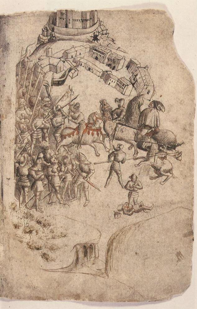
Battle of Bannockburn
The Battle of Bannockburn (Scottish Gaelic: Blàr Allt nam Bànag or Blàr Allt a' Bhonnaich) was fought on 23–24 June 1314, between the army of Robert the...
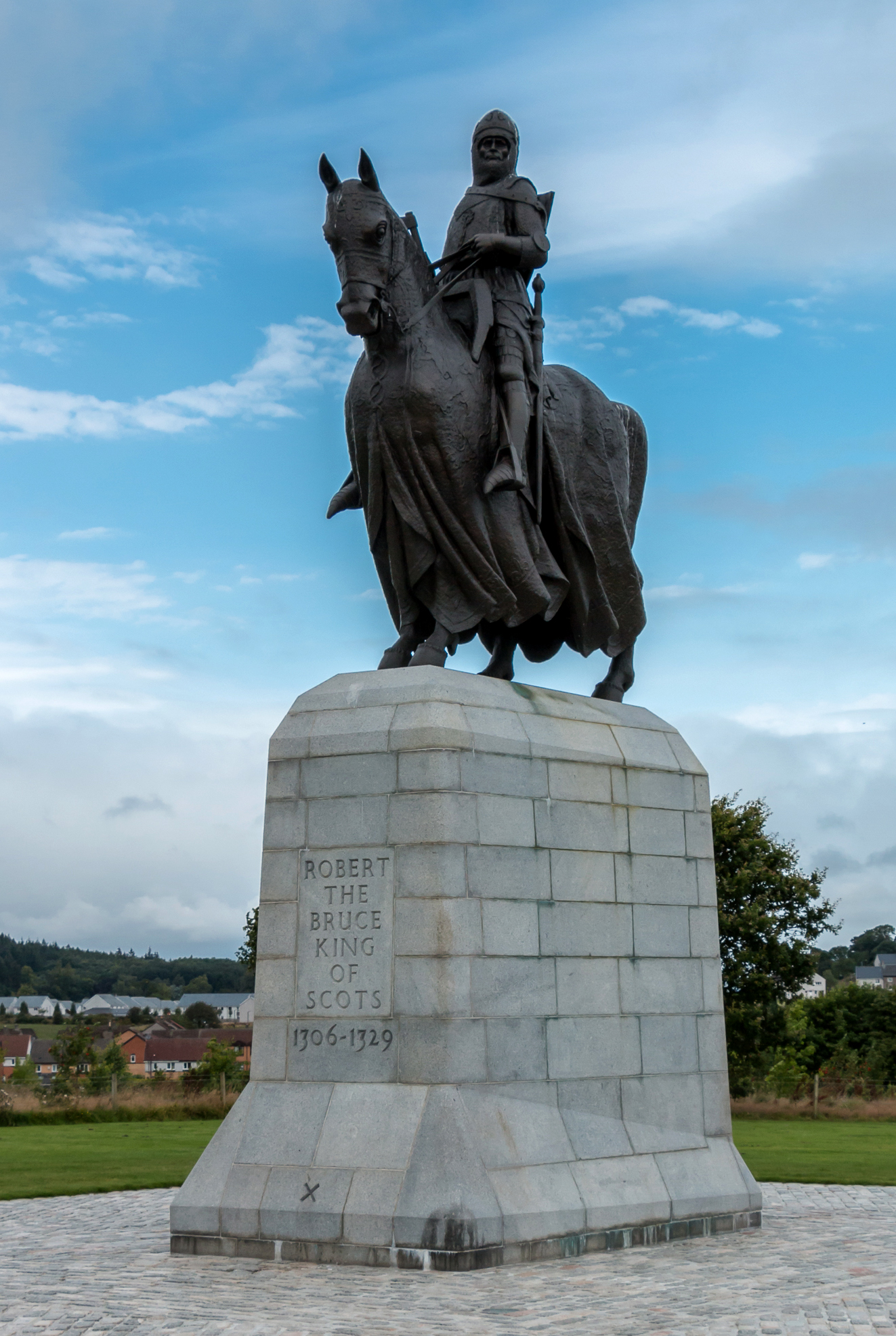
Equestrian statue of Robert the Bruce, Bannockburn
The equestrian statue of Robert the Bruce at the Bannockburn Visitor Centre, Bannockburn, Stirling, is a 1964 work by Pilkington Jackson. == Description... ==
Nearby Amenities
Located within 500m of 56.082478,-3.9060557Have you been to Muir of Bannockburn?
Leave your review of Muir of Bannockburn below (or comments, questions and feedback).