Y Trinant

Downs, Moorland in Merionethshire

Wales

Y Trinant

Gravel track following route of disused railway line near Llyn Tryweryn
Gravel track following route of disused railway line near Llyn Tryweryn Credit: Steven Brown

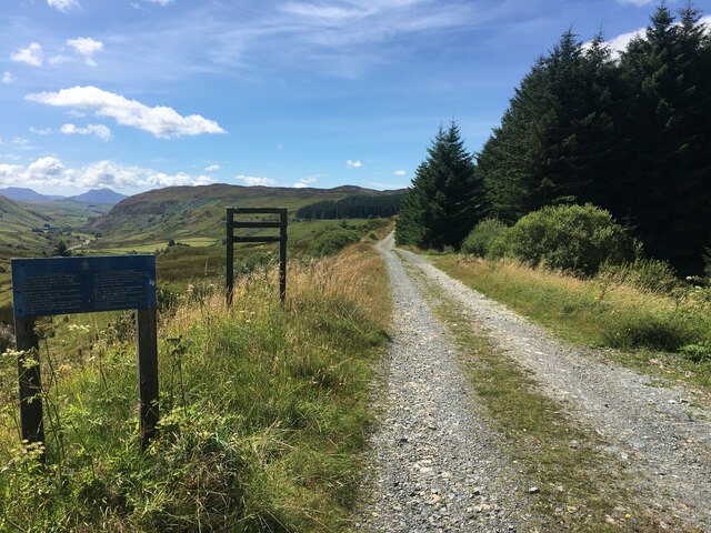
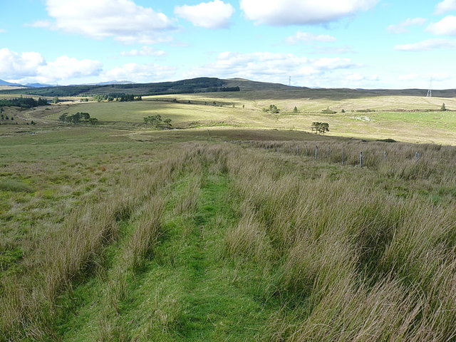
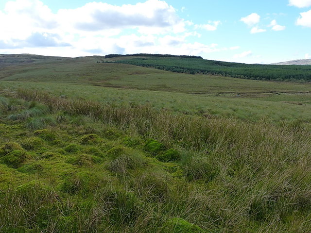
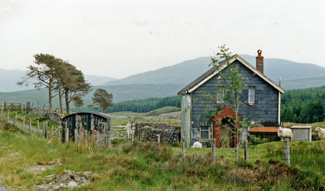
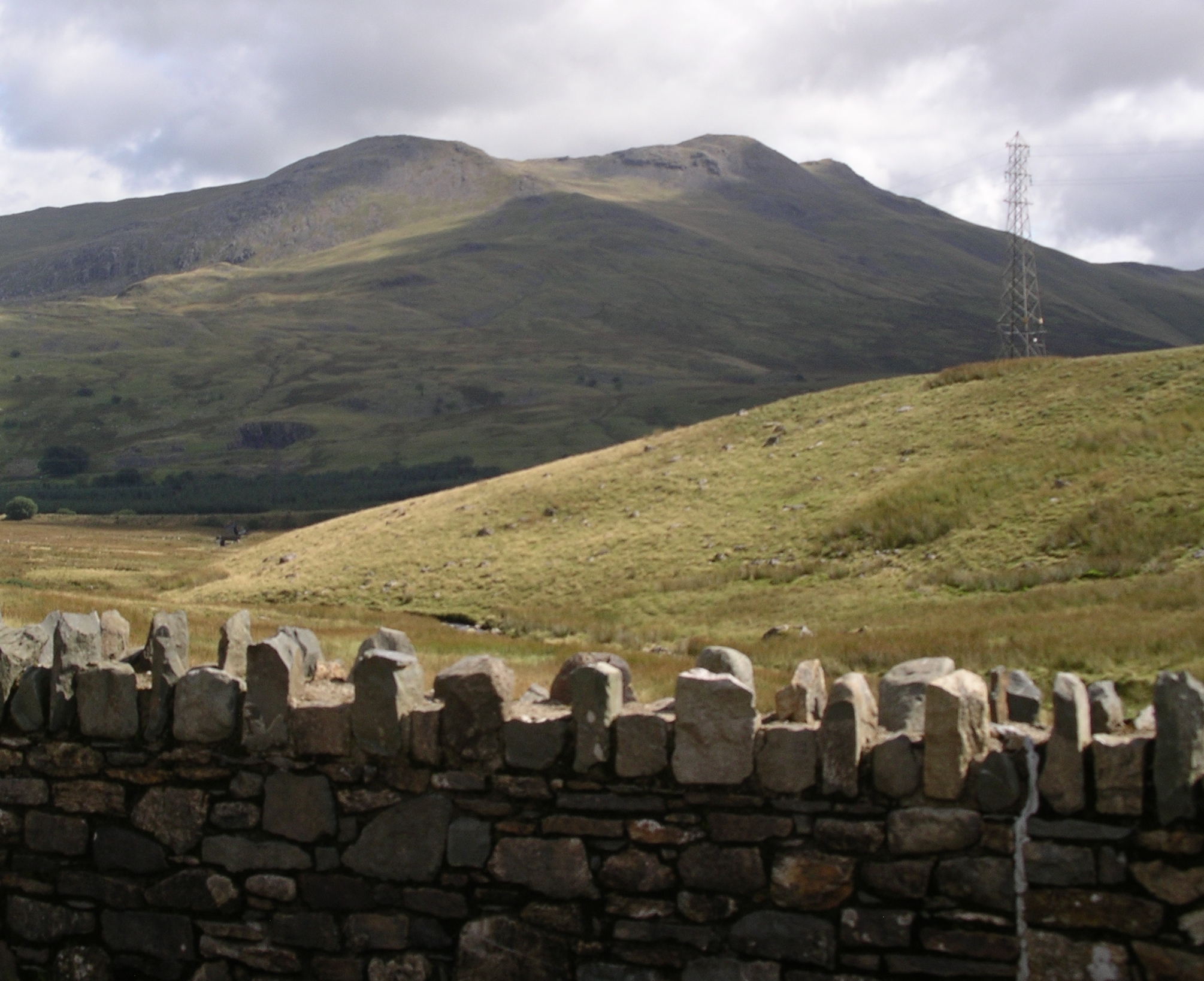
Y Trinant is a small village located in the county of Merionethshire, Wales. Situated in the downs and moorland region, this rural community is known for its picturesque landscapes and tranquil surroundings.

With a population of around 200 residents, Y Trinant offers a close-knit community atmosphere. The village is characterized by its traditional Welsh architecture, with stone cottages and buildings adding to its charm. The area is predominantly agricultural, with farming being the primary occupation of the local inhabitants.

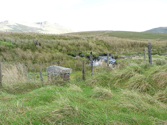
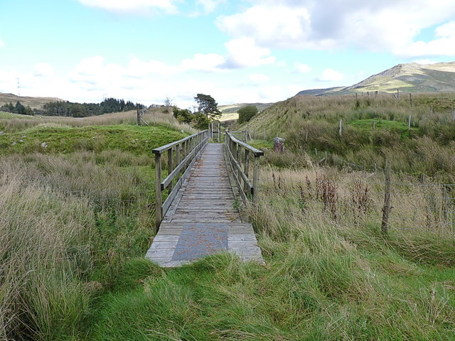
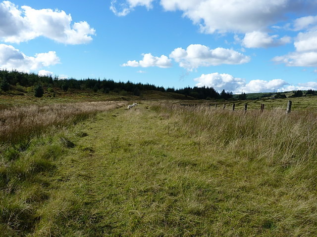
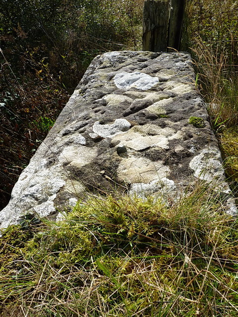
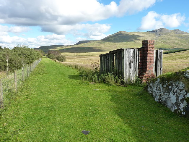
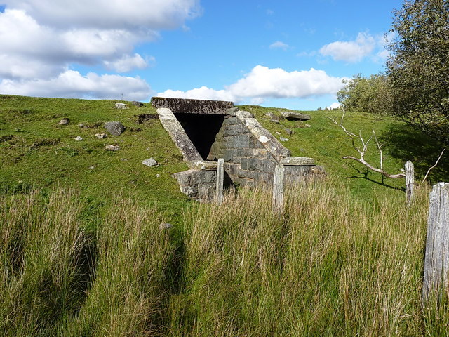
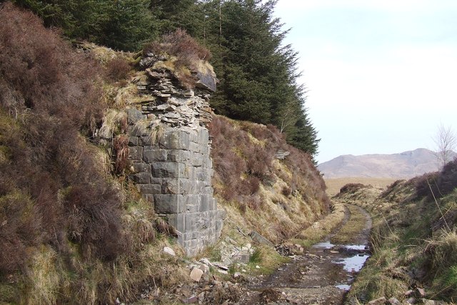
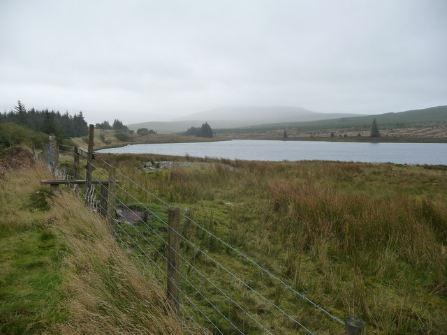
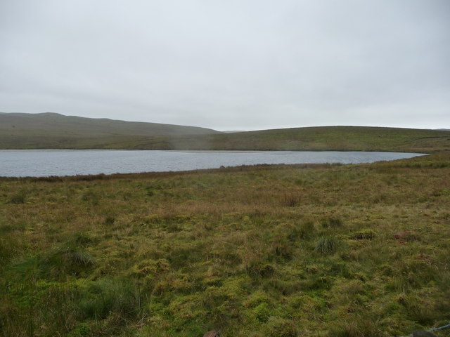
The downs and moorland surrounding Y Trinant provide ample opportunities for outdoor activities and exploration. The rolling hills and open fields make it an ideal destination for hikers, nature enthusiasts, and birdwatchers. The village is also situated near several nature reserves, offering visitors a chance to witness the diverse flora and fauna of the region.

Y Trinant has limited amenities, with a small shop and a pub providing basic services for both locals and tourists. However, for more extensive facilities, visitors can easily access nearby towns and cities such as Dolgellau or Bala.

The village is well-connected by road networks, making it accessible to travelers who wish to explore the beauty of North Wales. Whether it's enjoying the tranquility of the countryside or embarking on outdoor adventures, Y Trinant offers a peaceful retreat in the heart of Merionethshire's downs and moorland region.

If you have any feedback on the listing, please let us know in the comments section below.

Y Trinant Images

Images are sourced within 2km of 52.918452/-3.8025867 or Grid Reference SH7837. Thanks to Geograph Open Source API. All images are credited.

Gravel track following route of disused railway line near Llyn Tryweryn
Old field boundary and modern fence A little way above the Afon Treweryn and the disused railway line. The modern fence lies a few yards to the east of an older linear feature in the field, which I took to be a former (and long collapsed) boundary wall or fence-bottom.
Old field boundary and modern fence
A little way above the Afon Treweryn and the disused railway line. The modern fence lies a few yards to the east of an older linear feature in the field, which I took to be a former (and long collapsed) boundary wall or fence-bottom.
Over the Nant y Gist-Faen to the Penllyn Forest Rough grazing land in the valley of the Afon Treweryn.
Over the Nant y Gist-Faen to the Penllyn Forest
Rough grazing land in the valley of the Afon Treweryn.
OS pivot mark - Nant Ddu, railway bridge parapet wall An OS pivot mark on the coping stone of a now-disused railway bridge over the Afon Treweryn; originally levelled in 1942 at 384.636m above Ordnance Datum Newlyn.
OS pivot mark - Nant Ddu, railway bridge parapet wall
An OS pivot mark on the coping stone of a now-disused railway bridge over the Afon Treweryn; originally levelled in 1942 at 384.636m above Ordnance Datum Newlyn.
Former railway bridge parapet over the Afon Treweryn This is the location of the pivot mark in <a href="https://www.geograph.org.uk/photo/5179809">SH7938 : OS pivot mark - Nant Ddu, railway bridge parapet wall</a> with a view up the hill towards Arenig Fawr above.
Former railway bridge parapet over the Afon Treweryn
This is the location of the pivot mark in SH7938 : OS pivot mark - Nant Ddu, railway bridge parapet wall with a view up the hill towards Arenig Fawr above.
Footbridge over the Afon Treweryn Much of the disused GWR Bala to Blaenau Ffestiniog railway is open for walking or cycling, and many of the demolished bridges have been replaced by structures such as this one. It certainly does the job, and avoids paddling through the river.
Footbridge over the Afon Treweryn
Much of the disused GWR Bala to Blaenau Ffestiniog railway is open for walking or cycling, and many of the demolished bridges have been replaced by structures such as this one. It certainly does the job, and avoids paddling through the river.
West along the old railway line The ex-GWR Bala to Blaenau Ffestiniog railway, which was closed in the early 1960s. This section makes for a pleasant walk.
West along the old railway line
The ex-GWR Bala to Blaenau Ffestiniog railway, which was closed in the early 1960s. This section makes for a pleasant walk.
OS bolt - Cefn Llyn An OSBM copper or brass bolt set into the coping stone of a disused bridge at the SW side of the former railway line; it was levelled in 1942 at 388.398m above Ordnance Datum Newlyn.
OS bolt - Cefn Llyn
An OSBM copper or brass bolt set into the coping stone of a disused bridge at the SW side of the former railway line; it was levelled in 1942 at 388.398m above Ordnance Datum Newlyn.
Parapet wall of former bridge In mid-shot, this coping stone of the bridge contains the <a href="https://www.geograph.org.uk/photo/5179832">SH7938 : OS bolt - Cefn Llyn</a>
Parapet wall of former bridge
In mid-shot, this coping stone of the bridge contains the SH7938 : OS bolt - Cefn Llyn
Disused platers' hut beside the railway line Long fallen into both disuse and ruin, the only semi-permanent part of this construction is the brick chimney and fireplace, the rest being made of old sleepers.
Disused platers' hut beside the railway line
Long fallen into both disuse and ruin, the only semi-permanent part of this construction is the brick chimney and fireplace, the rest being made of old sleepers.
Probable accommodation bridge under the disused railway line A small bridge under the line, very boggy in the base; it's not clear whether it's taking drainage across the line, or is a genuine accommodation bridge for the hill farm.
Probable accommodation bridge under the disused railway line
A small bridge under the line, very boggy in the base; it's not clear whether it's taking drainage across the line, or is a genuine accommodation bridge for the hill farm.
Nant Ddu Camfa a phont ar yr hen reilffordd sydd bellach yn lwybr / A stile and bridge on the old railway which is now a footpath.
Nant Ddu
Camfa a phont ar yr hen reilffordd sydd bellach yn lwybr / A stile and bridge on the old railway which is now a footpath.
Llechwedd Rudd
Llechwedd Rudd
Trackbed near Cwm Prysor Part of a collapsed footbridge on the disused trackbed of the former GWR Blaenau to Bala railway line.
Trackbed near Cwm Prysor
Part of a collapsed footbridge on the disused trackbed of the former GWR Blaenau to Bala railway line.
Trackbed near Cwm Prysor Disused trackbed of the GWR Blaenau Ffestiniog to Bala Junction railway line.
Trackbed near Cwm Prysor
Disused trackbed of the GWR Blaenau Ffestiniog to Bala Junction railway line.
Cwm Prysor station (remains), 1986 View SE, towards Bala: ex-GW Bala - Blaenau Ffestiniog line, closed 4/1/60. This is about 1,300 ft. above sea-level: behind is Moel Tryfnant (2,451 ft.) and over to the left is Arenig Fawr (2,900 ft.).
Cwm Prysor station (remains), 1986
View SE, towards Bala: ex-GW Bala - Blaenau Ffestiniog line, closed 4/1/60. This is about 1,300 ft. above sea-level: behind is Moel Tryfnant (2,451 ft.) and over to the left is Arenig Fawr (2,900 ft.).
Part of Llyn Tryweryn Squally showers pass above and around the upland llyn.
Part of Llyn Tryweryn
Squally showers pass above and around the upland llyn.
Poor weather at Llyn Tryweryn In fine weather upland like this is attractive, enriching and different but in drizzly, dank, grey conditions it needs a special kind of love.
Poor weather at Llyn Tryweryn
In fine weather upland like this is attractive, enriching and different but in drizzly, dank, grey conditions it needs a special kind of love.
Show me another place!

Y Trinant is located at Grid Ref: SH7837 (Lat: 52.918452, Lng: -3.8025867)

Unitary Authority: Gwynedd

Police Authority: North Wales

What 3 Words

///worldwide.soonest.dreamers. Near Trawsfynydd, Gwynedd

Nearby Locations

Bryn Ceffyl Y Trinant

Related Wikis

Cwm Prysor Halt railway station

Cwm Prysor Halt (named simply Cwm Prysor until 1953) was a railway station which served the remote rural area of Cwm Prysor, east of Trawsfynydd, Gwynedd...
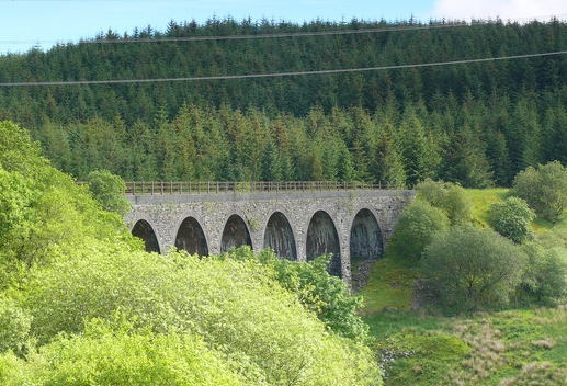
Cwm Prysor Viaduct

Cwm Prysor Viaduct, which is occasionally referred to as Blaen-y-Cwm Viaduct, is a railway viaduct which crosses the Afon Prysor in thinly populated uplands...

Moel Llyfnant

Moel Llyfnant is a mountain in the southern portion of the Snowdonia National Park in Gwynedd, Wales. It is a peak in the Arenig mountain range. It lies...

Snowdonia

Snowdonia, or Eryri (pronounced [ɛrəri] ), is a mountainous region and national park in northwestern Wales. It contains all 15 mountains in Wales over...

Foel Boeth

Foel Boeth is the twin top of Gallt y Daren in the southern half of the Snowdonia National Park in Gwynedd, North Wales, and forms part of the Arenig mountain...

Gallt y Daren

Gallt y Daren is a peak in the southern half of the Snowdonia National Park in Gwynedd, North Wales, and forms part of the Arenig mountain range. It is...

Arenig Fawr South Top

Arenig Fawr South Top is the twin top of Arenig Fawr in southern Snowdonia, North Wales. It is the second highest member of the Arenig range, being 18...

Arenig Fawr

Arenig Fawr (English: "Great High Ground") is a mountain in Snowdonia, North Wales, close to Llyn Celyn reservoir, alongside the A4212 between Trawsfynydd...

Have you been to Y Trinant?

Leave your review of Y Trinant below (or comments, questions and feedback).