Mòine Bhuidhe
Downs, Moorland in Perthshire
Scotland
Mòine Bhuidhe

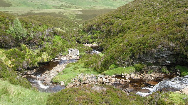
Mòine Bhuidhe, located in Perthshire, Scotland, is a vast expanse of downs and moorland that offers a captivating and unique landscape. Stretching across an area of approximately 1,500 hectares, it is renowned for its stunning natural beauty and diverse ecosystem.
The terrain of Mòine Bhuidhe is characterized by rolling hills, heather-covered moors, and extensive areas of peat bog. The vibrant hues of the vegetation, which range from golden yellows to deep purples, create a visually striking panorama throughout the year. These expansive moors serve as a habitat for a variety of flora and fauna, including wildflowers, mosses, and birds such as red grouse and curlews.
The presence of peat bogs in Mòine Bhuidhe contributes to the area's ecological significance. These wetland habitats act as carbon sinks, storing large amounts of carbon dioxide and playing a crucial role in mitigating climate change. Additionally, the peat bogs support a unique array of plant life, including sphagnum mosses and carnivorous plants like sundews.
Visitors to Mòine Bhuidhe can enjoy the tranquility and solitude offered by this remote location. The area is ideal for hiking and nature enthusiasts, providing ample opportunities for exploring the vast expanse of moorland and enjoying the breathtaking views of the surrounding hills and lochs. However, it is important for visitors to tread carefully and respect the fragile ecosystem of Mòine Bhuidhe to ensure its preservation for future generations.
If you have any feedback on the listing, please let us know in the comments section below.
Mòine Bhuidhe Images
Images are sourced within 2km of 56.538182/-3.9763055 or Grid Reference NN7840. Thanks to Geograph Open Source API. All images are credited.


Mòine Bhuidhe is located at Grid Ref: NN7840 (Lat: 56.538182, Lng: -3.9763055)
Unitary Authority: Perth and Kinross
Police Authority: Tayside
What 3 Words
///tint.task.expose. Near Aberfeldy, Perth & Kinross
Nearby Locations
Related Wikis
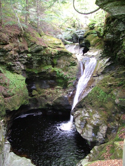
Falls of Acharn
Falls of Acharn is a waterfall of Scotland. == See also == Acharn Waterfalls of Scotland == References ==

Perthshire
Perthshire (locally: ; Scottish Gaelic: Siorrachd Pheairt), officially the County of Perth, is a historic county and registration county in central Scotland...

Stirling (council area)
The Stirling council area (Scots: Stirlin; Scottish Gaelic: Sruighlea) is one of the 32 council areas of Scotland, and has a population of about 93,470...

Acharn, Perth and Kinross
Acharn (Scottish Gaelic: Àth a' Chàirn meaning 'Field of the Cairn[s]') is a hamlet in the Kenmore parish of the Scottish council area of Perth and Kinross...

Glen Quaich
Glen Quaich is a glen in Perth and Kinross and is situated almost midway between Crieff and Aberfeldy. The upper reaches of the glen approach Loch Tay...

Creagan na Beinne
Creagan na Beinne is a hill in the Scottish Highlands lying to the south-east of Loch Tay in the group of rolling hills and moors whose highest point in...
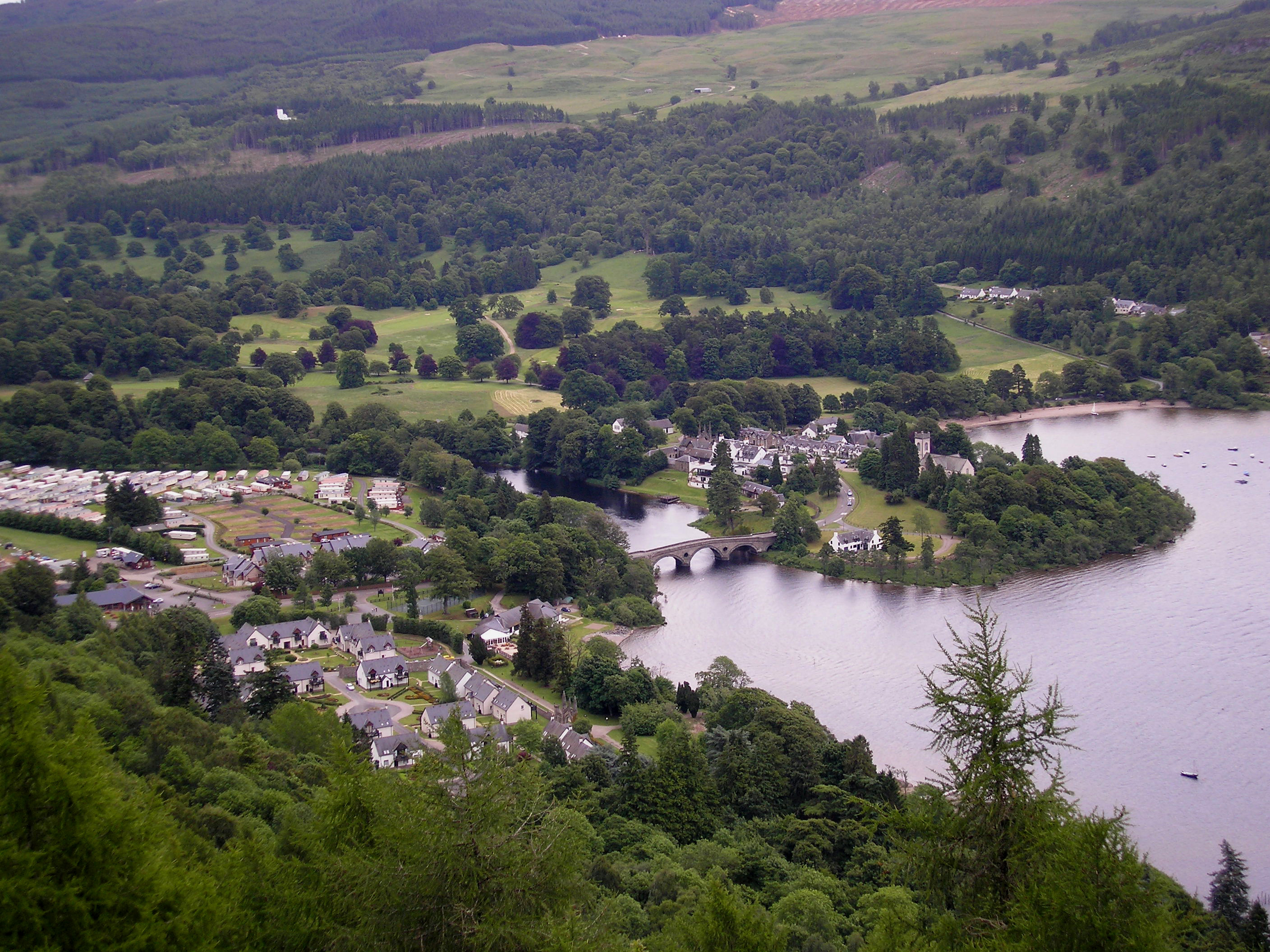
Kenmore, Perth and Kinross
Kenmore (Scottish Gaelic: A' Cheannmhor, IPA:[ˈaˈçaun̴̪auvɔɾ]) is a small village in Perthshire, in the Highlands of Scotland, located where Loch Tay drains...
Harpswell Cattle Pound
The Harpswell Cattle Pound is a stone enclosure in Harpswell, Maine, United States. It was used to hold stray animals until they could be reunited with...
Have you been to Mòine Bhuidhe?
Leave your review of Mòine Bhuidhe below (or comments, questions and feedback).