Rickham Common

Downs, Moorland in Devon South Hams

England

Rickham Common

Salcombe : Bay Scenery Looking out into the bay.
Salcombe : Bay Scenery Credit: Lewis Clarke

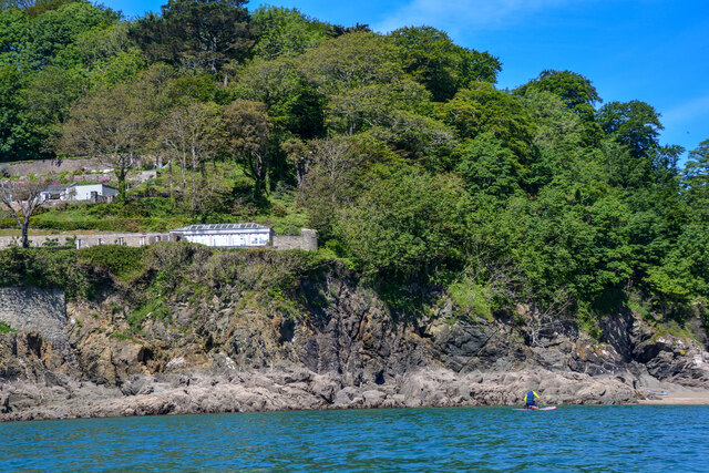
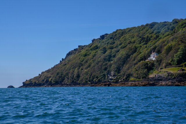
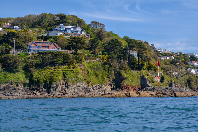
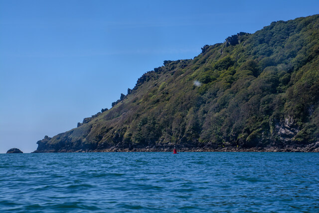
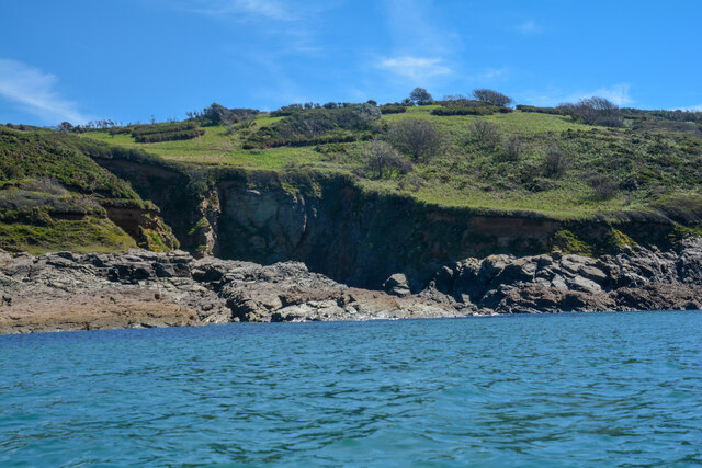
Rickham Common is a scenic area located in the county of Devon, England. Situated on the fringes of Dartmoor National Park, it encompasses a variety of landscapes including downs and moorland. With an area spanning approximately 100 hectares, it offers a diverse range of habitats for both wildlife and visitors to explore.

The common is characterized by undulating hills covered in heather, gorse, and grasses, creating a picturesque setting. Its elevated location provides breathtaking panoramic views of the surrounding countryside, including the rolling hills of Dartmoor and glimpses of the nearby coastline.

The area is home to a rich array of flora and fauna, with several species of birds, butterflies, and wildflowers thriving in its diverse habitats. Visitors can expect to encounter iconic Dartmoor ponies, sheep, and cattle grazing freely on the common, adding to the rustic charm of the landscape.

Rickham Common is a popular destination for outdoor enthusiasts, offering numerous walking and hiking trails that cater to all abilities. It provides the perfect opportunity to immerse oneself in the natural beauty of the countryside, with paths meandering through heathland, alongside babbling streams, and up to stunning viewpoints.

For those seeking tranquility and a sense of escape, Rickham Common provides a peaceful retreat away from the hustle and bustle of urban life. Whether it's a leisurely stroll, a picnic with panoramic views, or a chance to spot wildlife in their natural habitat, this area offers a truly immersive experience in the heart of Devon's stunning countryside.

If you have any feedback on the listing, please let us know in the comments section below.

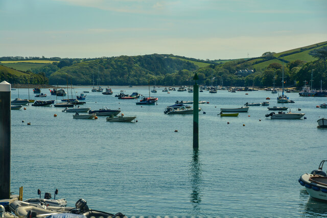
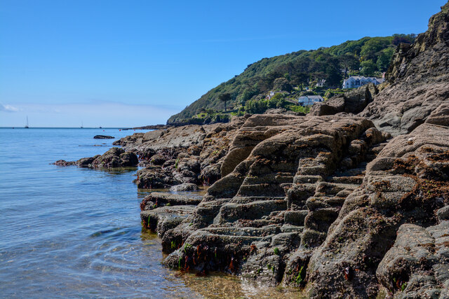
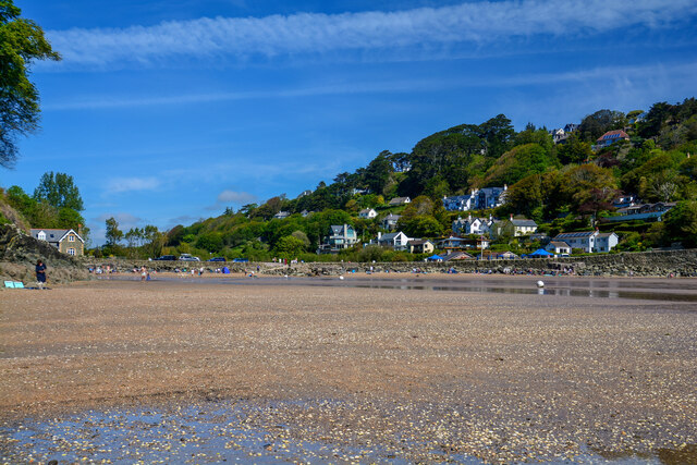
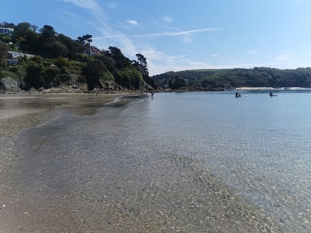
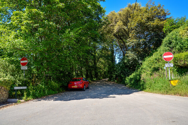
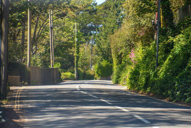
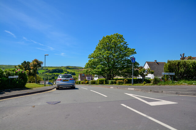
Rickham Common Images

Images are sourced within 2km of 50.225077/-3.7716059 or Grid Reference SX7337. Thanks to Geograph Open Source API. All images are credited.

Salcombe : Bay Scenery Looking out into the bay.
Salcombe : Bay Scenery
Looking out into the bay.
Salcombe : Coastal Scenery Looking across the coastline.
Salcombe : Coastal Scenery
Looking across the coastline.
Salcombe : North Sands Looking across the beach.
Salcombe : North Sands
Looking across the beach.
Salcombe : North Sands Looking across the beach.
Salcombe : North Sands
Looking across the beach.
Salcombe : Coastal Scenery Looking towards the rocky shore.
Salcombe : Coastal Scenery
Looking towards the rocky shore.
Salcombe : Bolt Head Looking across the coastline.
Salcombe : Bolt Head
Looking across the coastline.
Salcombe : Coastal Scenery Looking across the coast with Poundstone in view.
Salcombe : Coastal Scenery
Looking across the coast with Poundstone in view.
Salcombe : Bolt Head A view towards Bolt Head.
Salcombe : Bolt Head
A view towards Bolt Head.
East Portlemouth : Sunny Cove Looking towards a beach and cove.
East Portlemouth : Sunny Cove
Looking towards a beach and cove.
East Portlemouth : Coastal Scenery A view towards the rocks.
East Portlemouth : Coastal Scenery
A view towards the rocks.
East Portlemouth : Coastal Scenery A view along the coastline.
East Portlemouth : Coastal Scenery
A view along the coastline.
East Portlemouth : Coastal Scenery A house with a view overlooking the bay.
East Portlemouth : Coastal Scenery
A house with a view overlooking the bay.
Salcombe : Pound Stone A beacon on the stones.
Salcombe : Pound Stone
A beacon on the stones.
Salcombe : Beadon Road Looking along Beadon Road.
Salcombe : Beadon Road
Looking along Beadon Road.
Salcombe : Beadon Road A road with no entry to vehicles from here.
Salcombe : Beadon Road
A road with no entry to vehicles from here.
Salcombe : A381 Looking along the A381.
Salcombe : A381
Looking along the A381.
Salcombe : Tarmac A tarmac area off Main Road.
Salcombe : Tarmac
A tarmac area off Main Road.
Salcombe : Beadon Road Beadon Road off Main Road.
Salcombe : Beadon Road
Beadon Road off Main Road.
Show me another place!

Rickham Common is located at Grid Ref: SX7337 (Lat: 50.225077, Lng: -3.7716059)

Administrative County: Devon

District: South Hams

Police Authority: Devon and Cornwall

What 3 Words

///flask.consonant.everyone. Near Salcombe, Devon

Related Wikis

Salcombe Castle

Salcombe Castle or Fort Charles is a ruined fortification just off the beach of North Sands in Salcombe, Devon, England, within the South Devon Area of...
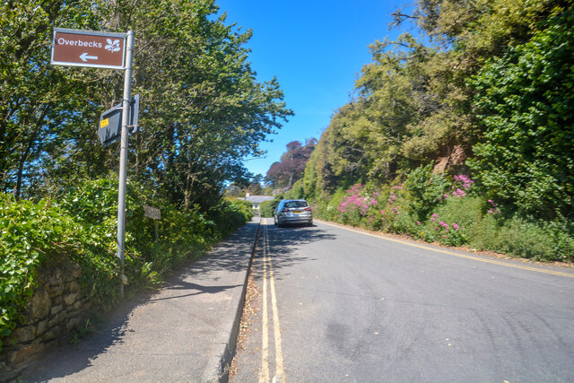
Overbeck's

Overbeck's Museum and Garden is an Edwardian house and 2.75 hectare (7 acre) garden at Sharpitor, Salcombe, Devon, England. It is named after its last...

Hallowe'en (clipper)

Hallowe’en was a 920-ton iron clipper ship. She was built in 1870 by Maudslay, Son & Field at Greenwich, England, for Jock Willis & Sons (commissioned...
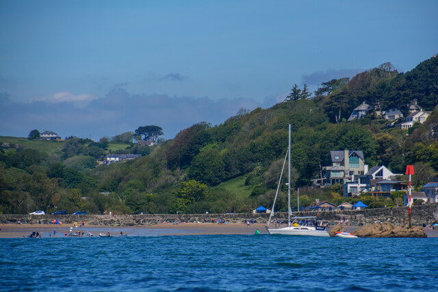
Salcombe

Salcombe is a resort town in the South Hams district of Devon, south west England. The town is close to the mouth of the Kingsbridge Estuary, mostly built...

Salcombe Lifeboat Station

Salcombe Lifeboat Station is the base for Royal National Lifeboat Institution (RNLI) search and rescue operations at Salcombe, Devon in England. The first...

East Portlemouth

East Portlemouth is a small Devon village situated at the southern end of the Kingsbridge Estuary, on the south Devon Coast. The population of this parish...

RAF Hope Cove

Royal Air Force Hope Cove or more simply RAF Hope Cove is a former Royal Air Force radar station. It is located about 1 mile (1.6 km) south west of Salcombe...

Bolt Head

Bolt Head is a National Trust headland on the South Coast of Devon, England, United Kingdom, situated west of the Kingsbridge Estuary. It is a popular...

Nearby Amenities

Located within 500m of 50.225077,-3.7716059
Source: PGS
Lat/Long: 50.2241483/-3.7738648
Source: PGS
Lat/Long: 50.2238658/-3.7737184
Source: PGS
Lat/Long: 50.223396/-3.7731144
Source: PGS
Lat/Long: 50.2231786/-3.771677
Source: PGS
Lat/Long: 50.2229578/-3.7715545
Created By: almien_coastlines
Source: PGS
Lat/Long: 50.222899/-3.771426
Source: PGS
Lat/Long: 50.2226596/-3.7712691
Source: PGS
Lat/Long: 50.2225752/-3.7712778
Source: PGS
Lat/Long: 50.2225872/-3.77132
Source: PGS
Lat/Long: 50.2219287/-3.771461
Source: PGS
Lat/Long: 50.2214799/-3.7704903
Source: PGS
Lat/Long: 50.2216697/-3.7700021
Source: PGS
Lat/Long: 50.2215037/-3.7693383
Blackstone Rock
Seamark Beacon Lateral Category: starboard
Seamark Beacon Lateral Colour: green
Seamark Beacon Lateral System: iala-a
Seamark Light Character: Q
Seamark Light Colour: green
Seamark Light Group: 2
Seamark Light Height: 4
Seamark Light Period: 8
Seamark Light Range: 2
Seamark Light Reference: A 0221
Seamark Name: Blackstone Rock
Seamark Type: beacon_lateral
Source: US NGA Pub. 114. 2011-05-26.
Lat/Long: 50.2267833/-3.7751
Rickham Common
Place: locality
Source: OS_OpenData_StreetView
Lat/Long: 50.2246582/-3.7698996
Wolf Rock
Seamark Buoy Lateral Category: starboard
Seamark Buoy Lateral Colour: green
Seamark Buoy Lateral Shape: can
Seamark Buoy Lateral System: iala-a
Seamark Light Character: Q
Seamark Light Colour: green
Seamark Type: buoy_lateral
Lat/Long: 50.2263682/-3.7762124
Seamark Buoy Lateral Category: port
Seamark Buoy Lateral Colour: red
Seamark Buoy Lateral Shape: can
Seamark Buoy Lateral System: iala-a
Seamark Light Character: Q
Seamark Light Colour: red
Seamark Type: buoy_lateral
Lat/Long: 50.2270295/-3.7776232
Seamark Buoy Lateral Category: starboard
Seamark Buoy Lateral Colour: green
Seamark Buoy Lateral Shape: can
Seamark Buoy Lateral System: iala-a
Seamark Light Character: Q
Seamark Light Colour: green
Seamark Type: buoy_lateral
Lat/Long: 50.2272541/-3.775308
Old Harry Beacon
Place: locality
Seamark Beacon Lateral Category: port
Seamark Beacon Lateral Colour: red
Seamark Beacon Lateral System: iala-a
Seamark Type: beacon_lateral
Source: OS 1963
Lat/Long: 50.2281649/-3.7763578
Seamark Buoy Lateral Category: port
Seamark Buoy Lateral Colour: red
Seamark Buoy Lateral Shape: can
Seamark Buoy Lateral System: iala-a
Seamark Light Character: Q
Seamark Light Colour: red
Seamark Type: buoy_lateral
Lat/Long: 50.2285808/-3.7751208
Biddlehead Point
Place: locality
Lat/Long: 50.2287695/-3.7706803
Salcombe Bar
Place: locality
Lat/Long: 50.2218633/-3.7763539
Limebury Point
Place: locality
Lat/Long: 50.224109/-3.7729895
Leek Cove
Place: locality
Lat/Long: 50.2236458/-3.7714907
Hipples
Place: locality
Source: OS 1963
Lat/Long: 50.2257341/-3.7728016
Ripple Sand
Natural: beach
Surface: sand
Lat/Long: 50.2262845/-3.7736261
Bench
Backrest: no
Lat/Long: 50.2241898/-3.7707759
RNLI Salcombe 1916 Centenary
Historic: memorial
Memorial: plaque
Lat/Long: 50.2241346/-3.7707462
Bench
Backrest: no
Lat/Long: 50.2261569/-3.7720845
Bench
Backrest: no
Lat/Long: 50.2218713/-3.7680699
Bench
Backrest: no
Survey Date: 2022-03-19
Lat/Long: 50.2286937/-3.7701867
Life Ring
Emergency: life_ring
Survey Date: 2022-03-19
Lat/Long: 50.2281302/-3.7703678
Life Ring
Emergency: life_ring
Survey Date: 2022-03-19
Lat/Long: 50.2281973/-3.7703769
The data included in this document is from www.openstreetmap.org. The data is made available under ODbL.

Have you been to Rickham Common?

Leave your review of Rickham Common below (or comments, questions and feedback).