Shoulsbarrow Common

Downs, Moorland in Devon North Devon

England

Shoulsbarrow Common

View between roadside trees on Wallover Down
View between roadside trees on Wallover Down Credit: David Martin

The requested URL returned error: 429 Too Many Requests

If you have any feedback on the listing, please let us know in the comments section below.

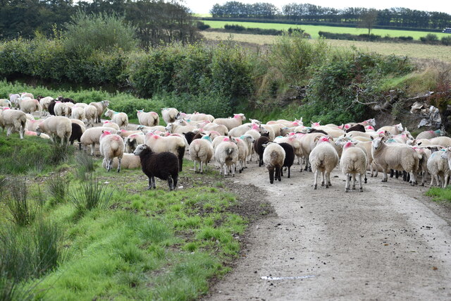
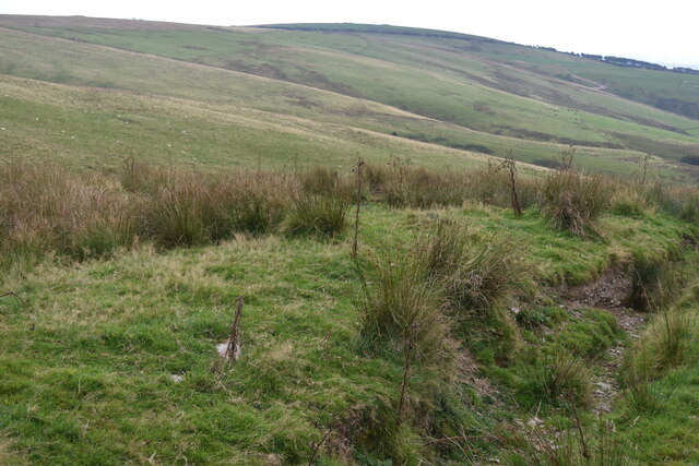
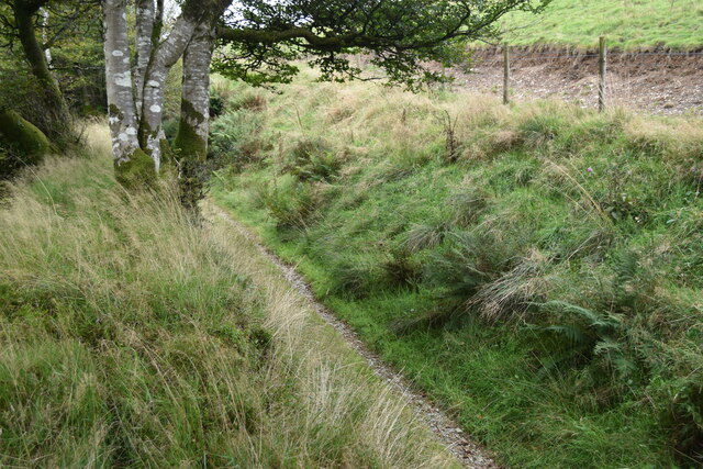
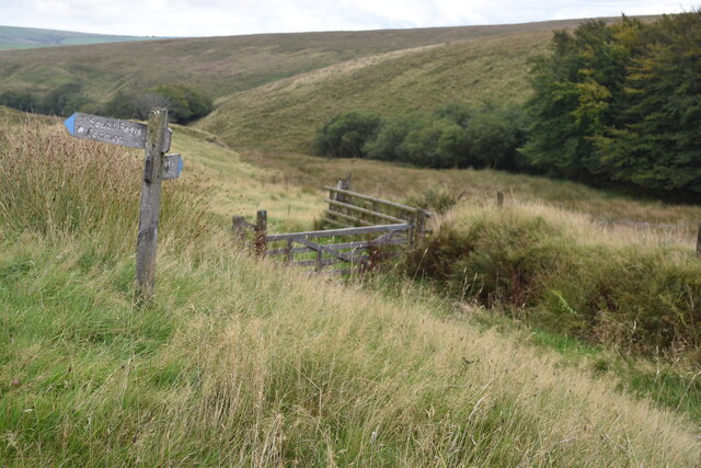
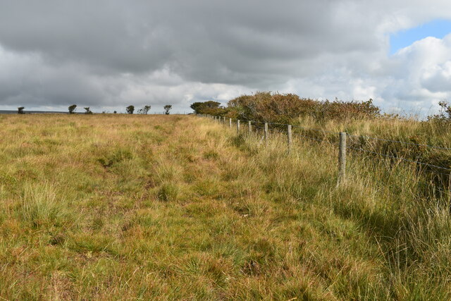
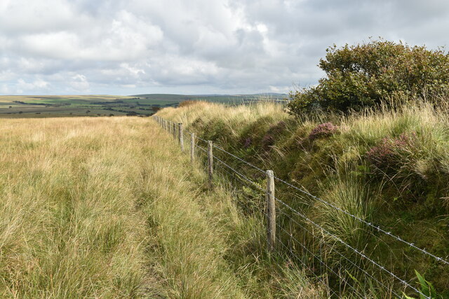
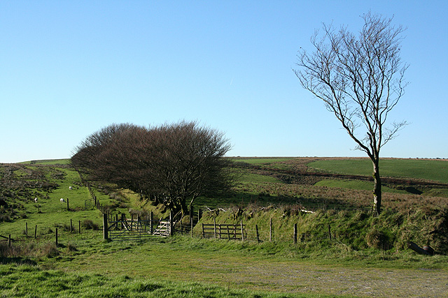
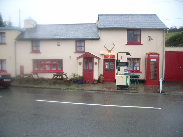
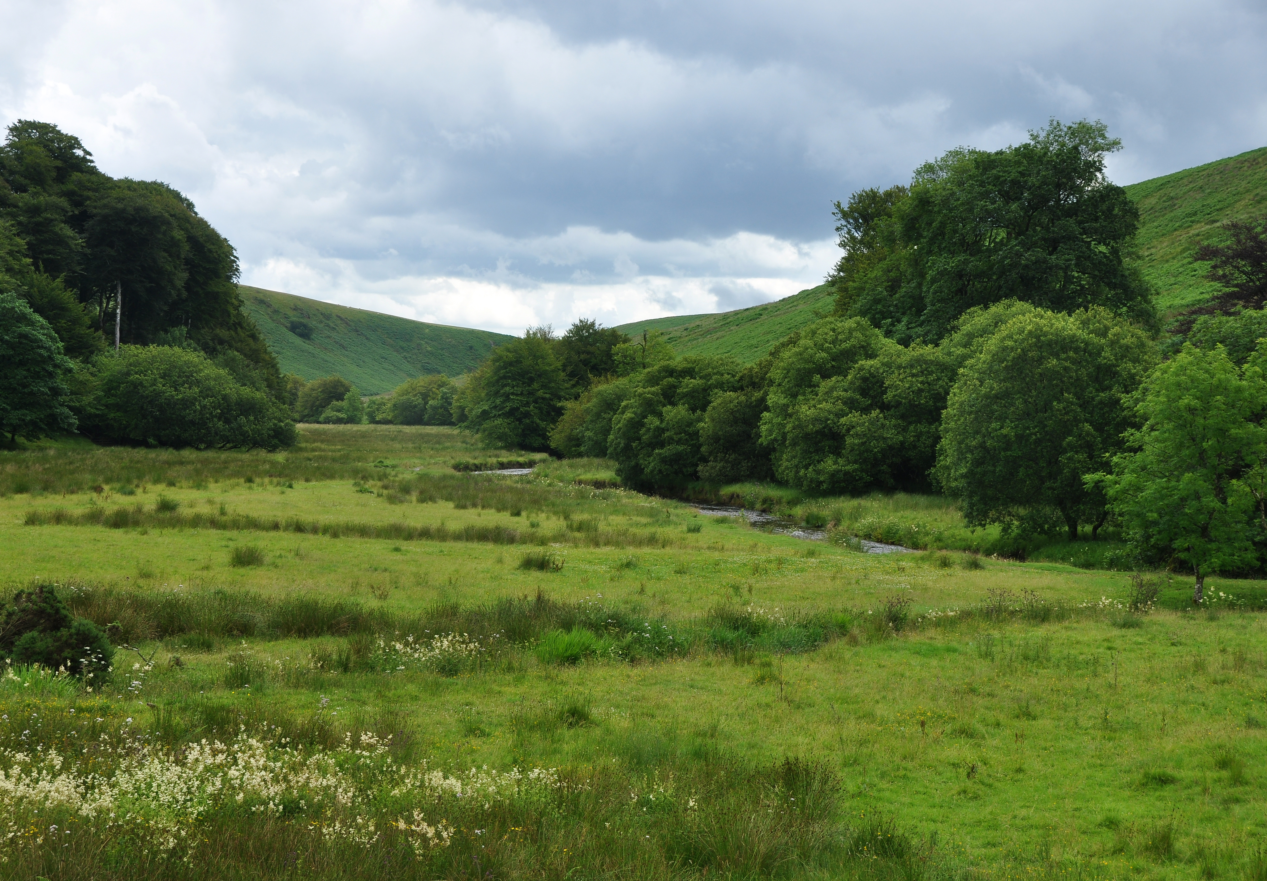
Shoulsbarrow Common Images

Images are sourced within 2km of 51.141438/-3.8513263 or Grid Reference SS7039. Thanks to Geograph Open Source API. All images are credited.

View between roadside trees on Wallover Down
Field gate with Wallover Down beyond
View across Wallover Down
Sheep on the lane Displaying typical herd instincts, they all ran ahead of us along the lane, rather than simply stepping aside onto open grassland to the left.
Sheep on the lane
Displaying typical herd instincts, they all ran ahead of us along the lane, rather than simply stepping aside onto open grassland to the left.
Ford sign at Red Gate With a somewhat unnecessary explanation board: isn't this what we should expect at a ford?
Ford sign at Red Gate
With a somewhat unnecessary explanation board: isn't this what we should expect at a ford?
View towards Natsley Farm
View above Castle Cleave Coombe
Footpath between banks in Lew Combe
Footpath junction above Mole's Chamber
On the ramparts at Shoulsbury Castle With the trig point visible on the skyline.
On the ramparts at Shoulsbury Castle
With the trig point visible on the skyline.
Ramparts and ditch at Shoulsbury Castle At this point, there are two ramparts separated by a ditch.
Ramparts and ditch at Shoulsbury Castle
At this point, there are two ramparts separated by a ditch.
Edge of access land near Shoulsbury Castle
Edge of access land above Castle Common
High Bray: on Fullaford Down Looking east-south-east towards Rockley Farm
High Bray: on Fullaford Down
Looking east-south-east towards Rockley Farm
Gated entrance to footpath Challacombe valley is in the background
Gated entrance to footpath
Challacombe valley is in the background
Wallover Down This view down Goat Combe towards Hunger Gate has only been possible for the public since Open Access.  However a 5km hike, there and back, across bog like this is not for the faint hearted as there is still no exit to the nearby lane.
Wallover Down
This view down Goat Combe towards Hunger Gate has only been possible for the public since Open Access. However a 5km hike, there and back, across bog like this is not for the faint hearted as there is still no exit to the nearby lane.
Brayford, Rockley Farm This is a place where my wife and myself had a lovely holiday in 1990.
Brayford, Rockley Farm
This is a place where my wife and myself had a lovely holiday in 1990.
High Bray: towards Castle Common Looking west
High Bray: towards Castle Common
Looking west
Show me another place!

Shoulsbarrow Common is located at Grid Ref: SS7039 (Lat: 51.141438, Lng: -3.8513263)

Administrative County: Devon

District: North Devon

Police Authority: Devon and Cornwall

What 3 Words

///doubts.respects.evoke. Near Lynton, Devon

Related Wikis

Shoulsbury castle

Shoulsbury Castle is an Iron Age hill fort close to Challacombe in Devon, England. It takes the form of a multi-ditch and rampart enclosure close to the...

Challacombe

Challacombe is a small village on the edge of the Exmoor National Park, in Devon, England. The village has a small general shop/Post Office and a single...

Barle Valley

Barle Valley is a 1,540 acres (620 ha) Site of Special Scientific Interest within Exmoor National Park, situated in the counties of Devon and Somerset...

Chains (geological site)

The Chains is the name given to the north-west plateau of Exmoor, Somerset, England. This plateau lies above the 1,500 feet (457 m) contour line, and includes...

Nearby Amenities

Located within 500m of 51.141438,-3.8513263
Ele: 477
Natural: peak
Source: NPE
Lat/Long: 51.1385431/-3.8458558
The data included in this document is from www.openstreetmap.org. The data is made available under ODbL.

Have you been to Shoulsbarrow Common?

Leave your review of Shoulsbarrow Common below (or comments, questions and feedback).