Habberley

Settlement in Shropshire

England

Habberley

The Mytton Arms, Habberley Named after John "Mad Jack" Mytton, a debauched 19th Century rake: <span class="nowrap"><a title="https://en.wikipedia.org/wiki/John_Mytton" rel="nofollow ugc noopener" href="https://en.wikipedia.org/wiki/John_Mytton">Link</a><img style="margin-left:2px;" alt="External link" title="External link - shift click to open in new window" src="https://s1.geograph.org.uk/img/external.png" width="10" height="10"/></span> .
The Mytton Arms, Habberley Credit: Bill Harrison

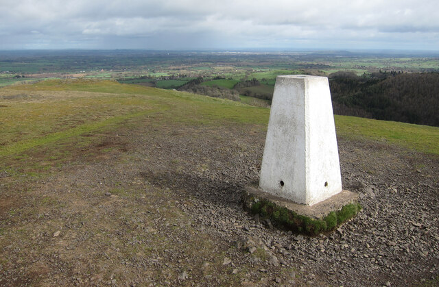
Habberley is a small village located in the county of Shropshire, England. Situated on the eastern edge of the county, it is nestled amidst the picturesque countryside, offering stunning views of rolling hills and green farmland. The village is part of the larger district of Bridgnorth and is located approximately 4 miles southeast of the town center.

Habberley is a tight-knit community with a population of around 500 residents. It is primarily a residential area, consisting of charming cottages and traditional houses, giving it a quintessential English village feel. The village is known for its peaceful and tranquil atmosphere, making it an ideal place to escape the hustle and bustle of city life.

Although small, Habberley does offer some amenities to its residents. There is a local primary school, providing education for young children in the area. Additionally, the village has a community hall which serves as a venue for various social events and gatherings. For those seeking outdoor activities, Habberley is surrounded by beautiful countryside, offering opportunities for walking, hiking, and cycling.

Despite its rural setting, Habberley benefits from its proximity to nearby towns and cities. The larger town of Bridgnorth is easily accessible, providing a range of amenities including shops, supermarkets, and leisure facilities. The village also benefits from good transportation links, with regular bus services connecting it to neighboring towns.

In summary, Habberley is a charming and tranquil village in Shropshire, offering a peaceful lifestyle in a beautiful rural setting.

If you have any feedback on the listing, please let us know in the comments section below.
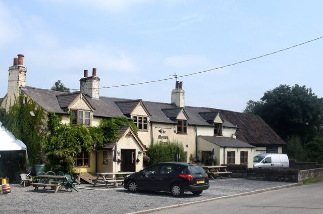
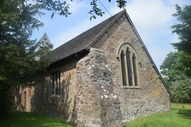
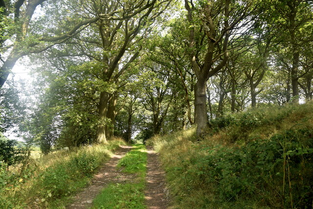
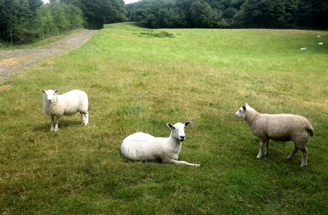
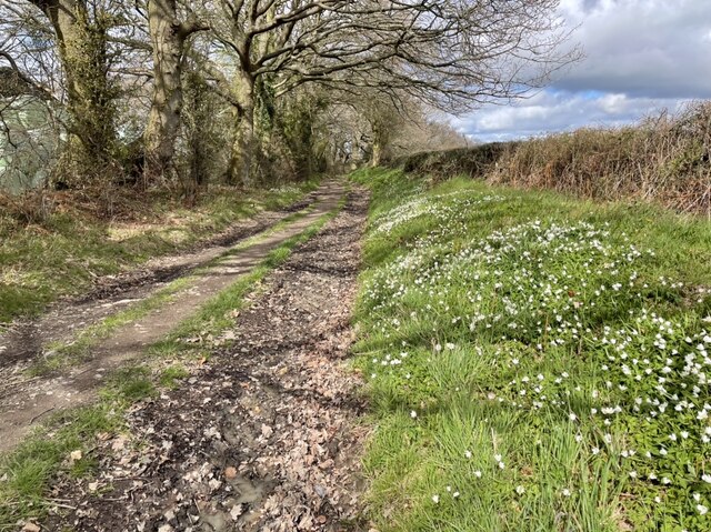
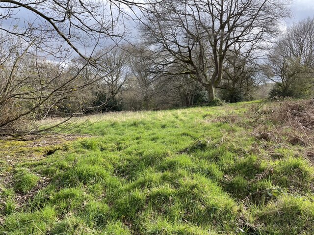
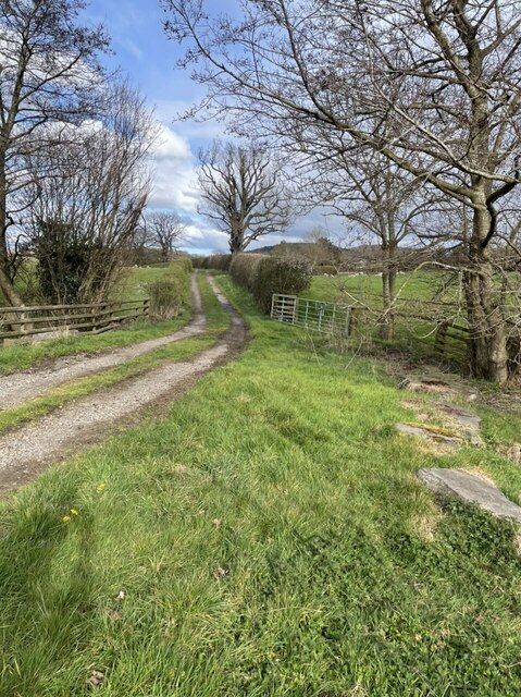
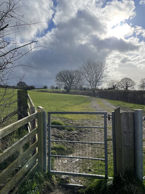
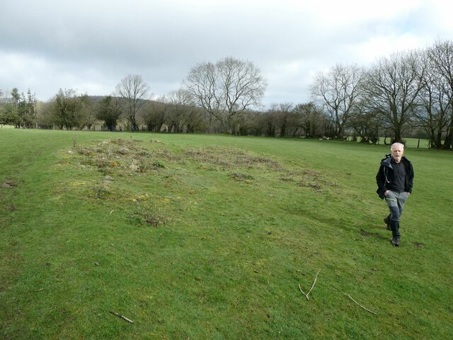
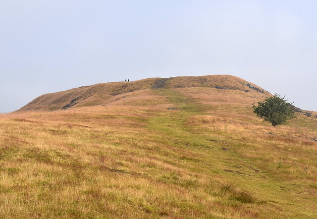
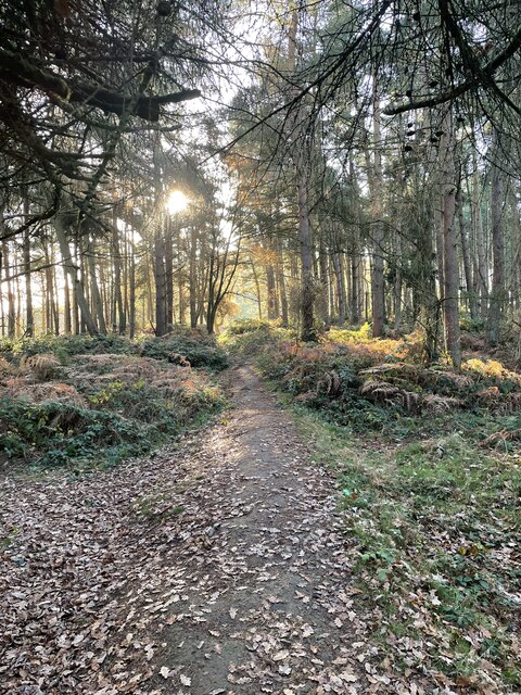
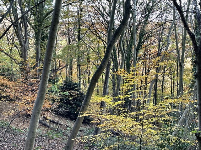
Habberley Images

Images are sourced within 2km of 52.626522/-2.889343 or Grid Reference SJ3903. Thanks to Geograph Open Source API. All images are credited.

The Mytton Arms, Habberley Named after John "Mad Jack" Mytton, a debauched 19th Century rake: <span class="nowrap"><a title="https://en.wikipedia.org/wiki/John_Mytton" rel="nofollow ugc noopener" href="https://en.wikipedia.org/wiki/John_Mytton">Link</a><img style="margin-left:2px;" alt="External link" title="External link - shift click to open in new window" src="https://s1.geograph.org.uk/img/external.png" width="10" height="10"/></span> .
The Mytton Arms, Habberley
Named after John "Mad Jack" Mytton, a debauched 19th Century rake: LinkExternal link .
St Mary's Church, Habberley The grade-II (LB1177028 <span class="nowrap"><a title="https://historicengland.org.uk/listing/the-list/list-entry/1177028" rel="nofollow ugc noopener" href="https://historicengland.org.uk/listing/the-list/list-entry/1177028">Link</a><img style="margin-left:2px;" alt="External link" title="External link - shift click to open in new window" src="https://s1.geograph.org.uk/img/external.png" width="10" height="10"/></span> ) church is thought to date from the 12th Century but was heavily rebuilt in the 19th Century.  Note the asymmetrical roofline and the gigantic buttress in the foreground.
St Mary's Church, Habberley
The grade-II (LB1177028 LinkExternal link ) church is thought to date from the 12th Century but was heavily rebuilt in the 19th Century. Note the asymmetrical roofline and the gigantic buttress in the foreground.
Forest walk... ...to Poles Coppice.
Forest walk...
...to Poles Coppice.
Shropshire sheep... ...taking it easy on a blisteringly hot summer day in July 2021.
Shropshire sheep...
...taking it easy on a blisteringly hot summer day in July 2021.
Track and footpath heading north into Poles Coppice Footpath beautifully lined with wood anemones.
Track and footpath heading north into Poles Coppice
Footpath beautifully lined with wood anemones.
Towards the high point of Maddox Coppice in Eastridge Wood Many trees have been uprooted or snapped by earlier storms at this high point of the woods.
Towards the high point of Maddox Coppice in Eastridge Wood
Many trees have been uprooted or snapped by earlier storms at this high point of the woods.
Stream by the side of a footpath south of Habberley This is a scene of environmental destruction. All the stream and fence lines in this area have been destroyed by the owner farmer - trees cut down or uprooted, shrub and scrub levelled, all wildlife and biodiversity cover decimated. For what purpose - very minimal agricultural gain, wanton destruction, ignorance, “efficiency” ??? I notice a geograph taken at this spot 10 months previously shows a natural stream with wild garlic flourishing - a sign of longevity of undisturbed nature. This was so sad and depressing to see.
Stream by the side of a footpath south of Habberley
This is a scene of environmental destruction. All the stream and fence lines in this area have been destroyed by the owner farmer - trees cut down or uprooted, shrub and scrub levelled, all wildlife and biodiversity cover decimated. For what purpose - very minimal agricultural gain, wanton destruction, ignorance, “efficiency” ??? I notice a geograph taken at this spot 10 months previously shows a natural stream with wild garlic flourishing - a sign of longevity of undisturbed nature. This was so sad and depressing to see.
On footpath south of Habberley These magnificent old trees frame the southern aspect of Earls Hill.
On footpath south of Habberley
These magnificent old trees frame the southern aspect of Earls Hill.
The Ring by Nills Farm on the fringe of Poles Coppice This is a medieval animal pound, which was used to enclose stray or illegally pastured stock. It may have been in use in the fifteenth century onwards. The raised earthworks of this Ring are clearly visible, and provide an atmospheric feel to this green space just off the nearby footpath.
The Ring by Nills Farm on the fringe of Poles Coppice
This is a medieval animal pound, which was used to enclose stray or illegally pastured stock. It may have been in use in the fifteenth century onwards. The raised earthworks of this Ring are clearly visible, and provide an atmospheric feel to this green space just off the nearby footpath.
Footpath north of Poles Coppice Gentle rolling track behind Polesgate
Footpath north of Poles Coppice
Gentle rolling track behind Polesgate
Footpath leading south to Poles Coppice A sturdy newish footpath gate leads upwards towards the quiet Poles Coppice woodland, and an approaching April shower!
Footpath leading south to Poles Coppice
A sturdy newish footpath gate leads upwards towards the quiet Poles Coppice woodland, and an approaching April shower!
Walkers on the 2023 Pontesbury Potter cross a field The walk is a fixture in my calendar most years. You always meet nice, interesting, friendly, engaging and memorable walking companions. 

Plus we laugh 90% of the way round.
Walkers on the 2023 Pontesbury Potter cross a field
The walk is a fixture in my calendar most years. You always meet nice, interesting, friendly, engaging and memorable walking companions. Plus we laugh 90% of the way round.
Looking up at Earl's Hill, Pontesbury The 320-metre summit is the site of an Iron Age hill fort.   The grass is parched from a heatwave in July 2021.
Looking up at Earl's Hill, Pontesbury
The 320-metre summit is the site of an Iron Age hill fort. The grass is parched from a heatwave in July 2021.
At the top of Pontesford Hill Emerging into the autumnal sunshine on Earl’s Hill
At the top of Pontesford Hill
Emerging into the autumnal sunshine on Earl’s Hill
Woodland on the western slopes of Pontesford Hill A few leaves left to brighten the weak autumnal sunshine. This woodland is “For Sale” - I wonder at what cost and to what purpose?
Woodland on the western slopes of Pontesford Hill
A few leaves left to brighten the weak autumnal sunshine. This woodland is “For Sale” - I wonder at what cost and to what purpose?
Earl's Hill trig point, 320m
Broom Hill, 288m
Broom Hill, 288m
Walkers on the 2023 Pontesbury Potter follow a field edge pat Walkers on this charity walk in aid of Severn Hospice follow a well trodden path along a footpath.
Walkers on the 2023 Pontesbury Potter follow a field edge pat
Walkers on this charity walk in aid of Severn Hospice follow a well trodden path along a footpath.
Show me another place!

Habberley is located at Grid Ref: SJ3903 (Lat: 52.626522, Lng: -2.889343)

Unitary Authority: Shropshire

Police Authority: West Mercia

What 3 Words

///blasted.slowness.providing. Near Pontesbury, Shropshire

Nearby Locations

Habberley

Related Wikis

Habberley, Shropshire

Habberley is a small village and former civil parish, now in the parish of Pontesbury, in the Shropshire district, in the ceremonial county of Shropshire...

Eastridge Mountain Bike Trail Centre

Eastridge Mountain Bike Trail Centre is a free mountain biking venue in Shropshire, UK. The venue is developed and maintained by volunteers, and features...

Poles Coppice countryside site

Poles Coppice countryside site is an area of ancient oak woodland with disused quarry workings, located around 0.5 miles (1 km) south of Pontesbury, Shropshire...

Mary Webb School and Science College

Mary Webb School and Science College is a coeducational secondary school located in Pontesbury, Shropshire, England. Founded in 1957, it was originally...

Nearby Amenities

Located within 500m of 52.626522,-2.889343
Habberley
Is In: Shropshire
Place: hamlet
Wikidata: Q3811424
Lat/Long: 52.6263397/-2.8887475
Barrier: kissing_gate
Lat/Long: 52.6263093/-2.8856226
Barrier: kissing_gate
Lat/Long: 52.6265967/-2.8842742
Barrier: kissing_gate
Lat/Long: 52.6278273/-2.8833822
Give Way
Direction: forward
Lat/Long: 52.6265108/-2.8903865
Give Way
Direction: forward
Lat/Long: 52.6263802/-2.8903014
Give Way
Direction: backward
Lat/Long: 52.6264334/-2.890166
Generator Method: photovoltaic
Generator Output Electricity: yes
Generator Source: solar
Generator Type: solar_photovoltaic_panel
Location: roof
Power: generator
Lat/Long: 52.6263327/-2.8878325
Generator Method: photovoltaic
Generator Output Electricity: yes
Generator Source: solar
Generator Type: solar_photovoltaic_panel
Location: roof
Power: generator
Lat/Long: 52.6266307/-2.8866094
Access: no
Barrier: stile
Foot: designated
Material: wood
Stile: stepover
Lat/Long: 52.6262654/-2.8833934
Give Way
Direction: forward
Lat/Long: 52.6272259/-2.8909205
The data included in this document is from www.openstreetmap.org. The data is made available under ODbL.

Have you been to Habberley?

Leave your review of Habberley below (or comments, questions and feedback).