Staddon Moor

Downs, Moorland in Devon West Devon

England

Staddon Moor

Ordnance Survey Flush Bracket S5177 This can be found on the wall of The Town Hall in North Tawton.
For more detail see : <span class="nowrap"><a title="http://www.bench-marks.org.uk/bm20808" rel="nofollow ugc noopener" href="http://www.bench-marks.org.uk/bm20808">Link</a><img style="margin-left:2px;" alt="External link" title="External link - shift click to open in new window" src="https://s1.geograph.org.uk/img/external.png" width="10" height="10"/></span>
Ordnance Survey Flush Bracket S5177 Credit: Peter Wood

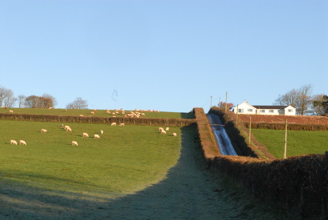
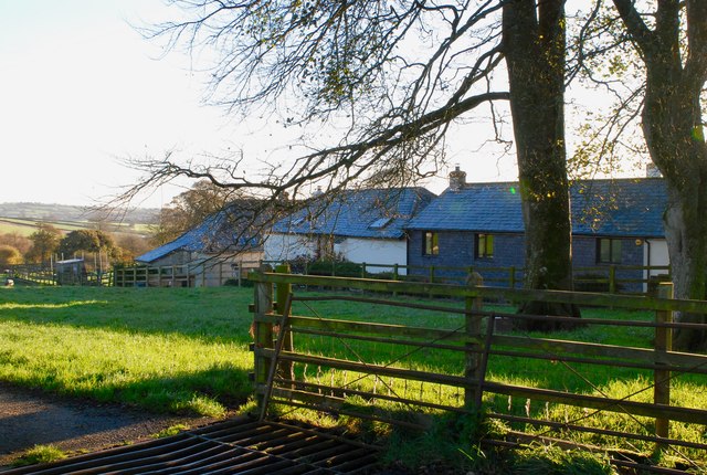
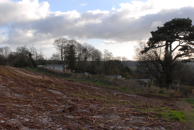
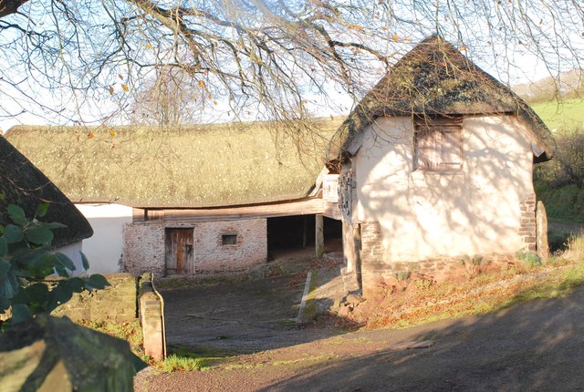
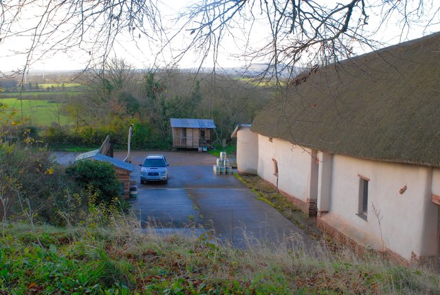
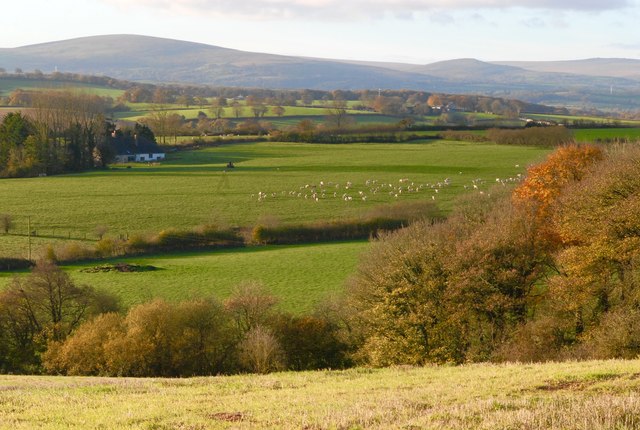
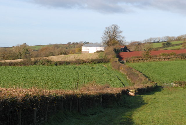
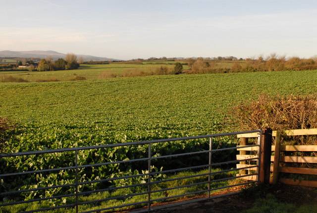
Staddon Moor is a picturesque area located in the county of Devon, England. It is positioned on the south-western edge of Dartmoor National Park, offering visitors breathtaking views of the surrounding landscape. The moorland covers an expansive area and is characterized by its rolling hills, heather-covered slopes, and scattered granite tors, which provide a unique and rugged beauty to the region.

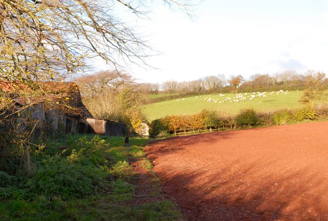
The vegetation on Staddon Moor consists mainly of heather, gorse, and grasses, creating a vibrant display of colors throughout the year. The area is a haven for wildlife, with several species of birds, including skylarks and buzzards, making their home here. It is also home to various mammals such as deer and foxes, adding to the rich biodiversity of the moorland.

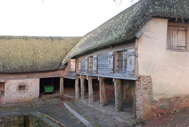
Staddon Moor has a rich history, with evidence of prehistoric settlements and stone circles scattered across its expanse. Ancient burial mounds and remnants of stone walls also hint at the human presence that dates back thousands of years. Today, visitors can explore these archaeological sites and immerse themselves in the history of the area.

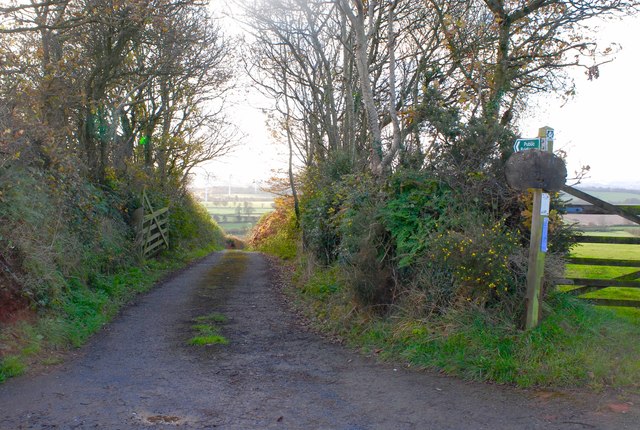
The moorland offers numerous walking trails, allowing visitors to experience the beauty of the landscape up close. From leisurely strolls to more challenging hikes, there are options available for all levels of fitness and interest. The tranquility and natural beauty of Staddon Moor make it a popular destination for nature lovers, hikers, and photographers seeking to capture the essence of Devon's wild and rugged landscapes.

If you have any feedback on the listing, please let us know in the comments section below.
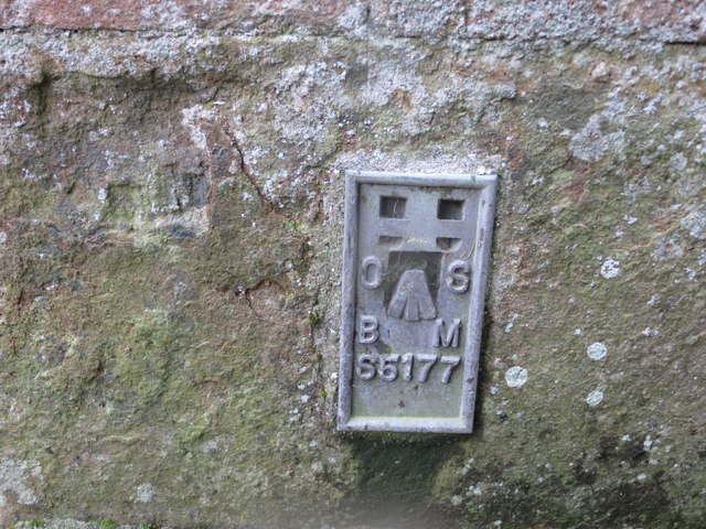
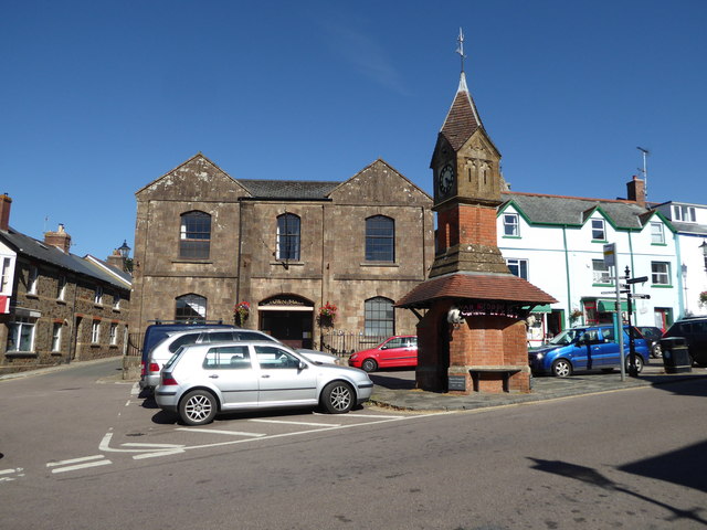
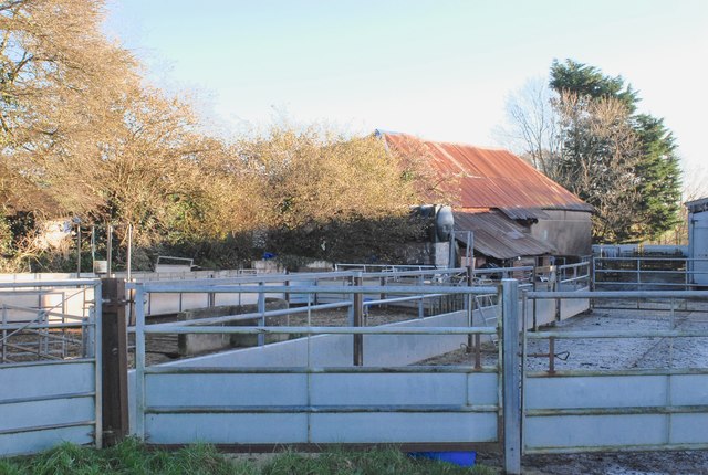
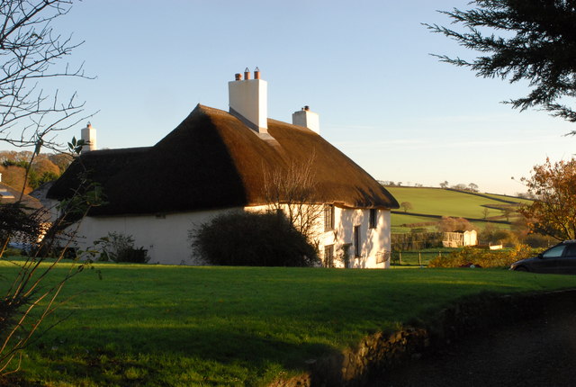
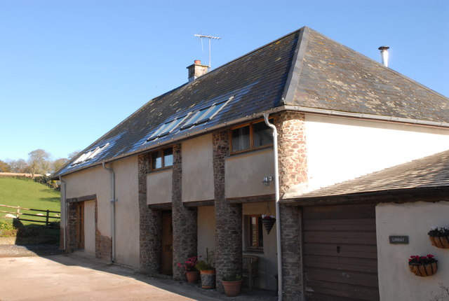
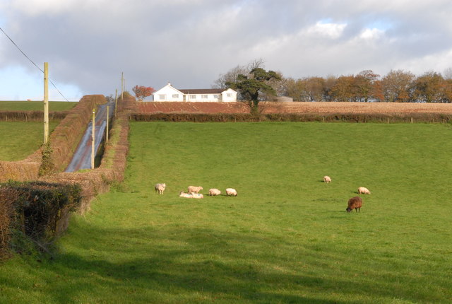
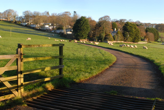
Staddon Moor Images

Images are sourced within 2km of 50.808753/-3.8759665 or Grid Reference SS6702. Thanks to Geograph Open Source API. All images are credited.

Ordnance Survey Flush Bracket S5177 This can be found on the wall of The Town Hall in North Tawton.
For more detail see : <span class="nowrap"><a title="http://www.bench-marks.org.uk/bm20808" rel="nofollow ugc noopener" href="http://www.bench-marks.org.uk/bm20808">Link</a><img style="margin-left:2px;" alt="External link" title="External link - shift click to open in new window" src="https://s1.geograph.org.uk/img/external.png" width="10" height="10"/></span>
Ordnance Survey Flush Bracket S5177
This can be found on the wall of The Town Hall in North Tawton. For more detail see : LinkExternal link
North Tawton - Town Hall
Nichols Nymet Farm These old farm buildings are now used for sheep handling.
Nichols Nymet Farm
These old farm buildings are now used for sheep handling.
Sheep grazing Sheep grazing the steep grassland near Nichols Nymett farm, the narrow and steep lane up to the cross is on the right.
Sheep grazing
Sheep grazing the steep grassland near Nichols Nymett farm, the narrow and steep lane up to the cross is on the right.
Thatched Cottage A typical Devon thatched cottage
Thatched Cottage
A typical Devon thatched cottage
The Linhay Former hay barn, now converted into accommodation, and up for sale.
The Linhay
Former hay barn, now converted into accommodation, and up for sale.
Sheep grazing (2) Similar photo as earlier but taken from the entrance drive to Nichols Nymett Hotel.
Sheep grazing (2)
Similar photo as earlier but taken from the entrance drive to Nichols Nymett Hotel.
Nichols Nymet House Hotel The entrance drive across to the hotel, with the mature gardens surrounding the buildings.
Nichols Nymet House Hotel
The entrance drive across to the hotel, with the mature gardens surrounding the buildings.
Converted Farm Buildings All the old farm buildings at Nichols Nymett are now  houses.
Converted Farm Buildings
All the old farm buildings at Nichols Nymett are now houses.
Harvested field The arable crop has recently been harvested, now the holiday accommodation at the hotel is visible.
Harvested field
The arable crop has recently been harvested, now the holiday accommodation at the hotel is visible.
Westacott Barton One of the traditional farm buildings.
Westacott Barton
One of the traditional farm buildings.
Westacott Barton Ploughed field at the side of Westacott Barton farm.
Westacott Barton
Ploughed field at the side of Westacott Barton farm.
Westacott Barton Part of the farmyard
Westacott Barton
Part of the farmyard
Taw Valley Brewery One of the farm buildings now houses a micro brewery.
Taw Valley Brewery
One of the farm buildings now houses a micro brewery.
Towards Stone Farm Looking south west towards Stone Farm, with Dartmoor far distance.
Towards Stone Farm
Looking south west towards Stone Farm, with Dartmoor far distance.
Westacott Barton Two more fields along the footpath to the farm.
Westacott Barton
Two more fields along the footpath to the farm.
Arable Crop The broad leaved plants look to be fodder beet , to be used as a winter feed for sheep.
Arable Crop
The broad leaved plants look to be fodder beet , to be used as a winter feed for sheep.
Westacott Barton The entrance drive down to Westacott Barton
Westacott Barton
The entrance drive down to Westacott Barton
Show me another place!

Staddon Moor is located at Grid Ref: SS6702 (Lat: 50.808753, Lng: -3.8759665)

Administrative County: Devon

District: West Devon

Police Authority: Devon and Cornwall

What 3 Words

///overcomes.defend.scanty. Near North Tawton, Devon

Nearby Locations

Staddon Moor

Related Wikis

Court Green

Court Green is a house on Essington Road in North Tawton, Devon, England. It was the home the poets Ted Hughes and Sylvia Plath moved to in late August...

North Tawton Town Hall

North Tawton Town Hall is a municipal building in The Square, North Tawton, Devon, England. The town hall, which is used for public events, is a Grade...

South West Peninsula

The South West Peninsula is the area of England between the Bristol Channel to the north and the English Channel to the south. It is part of the South...

North Tawton

North Tawton is a small town in Devon, England, situated on the river Taw. It is administered by West Devon Council. The population of the electoral...
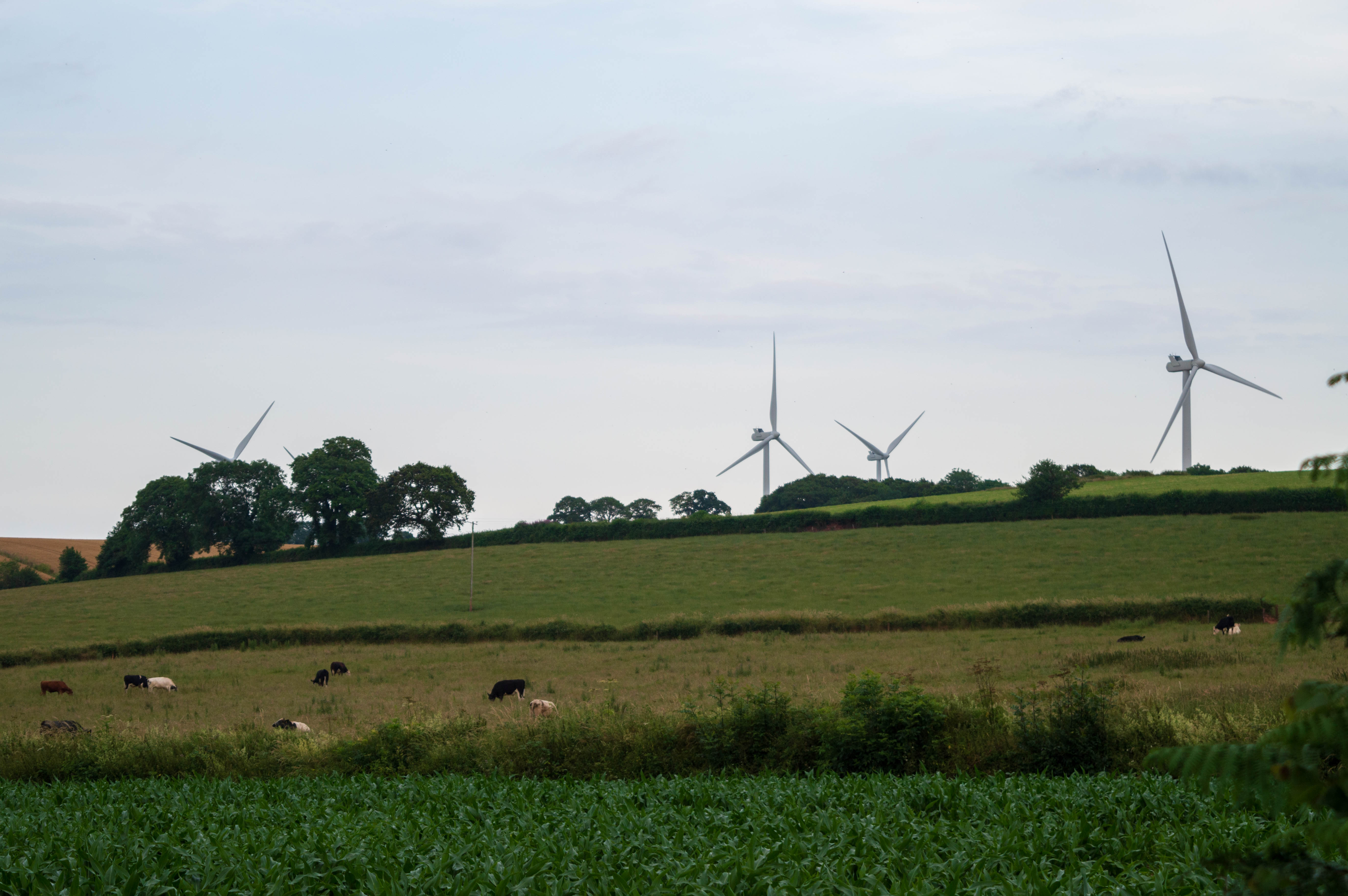
Den Brook Wind Farm

Den Brook Wind Farm is a windfarm in Devon, England. The windfarm is located 2 kilometres (1.2 mi) south-east of North Tawton and 2.5 kilometres (1.6 mi...

North Tawton railway station

North Tawton railway station was a railway station serving the town of North Tawton in Devon, England. North Tawton lies on the River Taw. == History... ==

Bondleigh

Bondleigh is a village and civil parish in the West Devon district of Devon, England, on the River Taw, north of North Tawton. According to the 2011 census...

Zeal Monachorum

Zeal Monachorum (; Latin translation Cell of the Monks) is a village and civil parish in the Mid Devon district of Devon, England, about 18 miles (29 km...

Nearby Amenities

Located within 500m of 50.808753,-3.8759665
Ashridge
Ele: 200
Natural: peak
Lat/Long: 50.8055249/-3.880622
Staddon Moor Cross
Place: locality
Lat/Long: 50.8069608/-3.8791737
North Tawton Boar Stud
Landuse: farm
Note Retag: CS #48756035
Lat/Long: 50.8072814/-3.8796276
Little Beare Farm
Landuse: farm
Note Retag: CS #48756035
Lat/Long: 50.8125068/-3.87234
Staddon Moor
Place: locality
Source: OS OpenData StreetView
Lat/Long: 50.8084557/-3.8744194
The data included in this document is from www.openstreetmap.org. The data is made available under ODbL.

Have you been to Staddon Moor?

Leave your review of Staddon Moor below (or comments, questions and feedback).