Mills Moors

Downs, Moorland in Devon Mid Devon

England

Mills Moors

Field near Bankland Farm
Field near Bankland Farm Credit: James Emmans

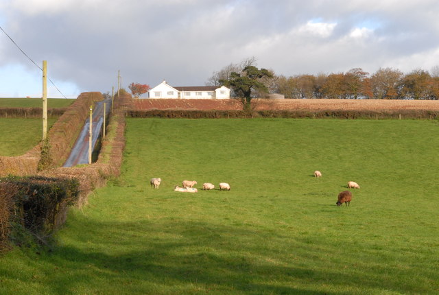
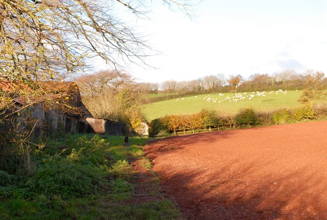
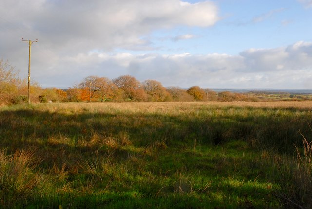
Mills Moors is a vast expanse of moorland located in Devon, England. Stretching over rolling hills and valleys, Mills Moors is characterized by its rugged terrain, heather-covered hills, and scattered patches of woodland. The moorland is home to a variety of wildlife, including birds of prey, deer, and ponies.

Mills Moors is a popular destination for outdoor enthusiasts, offering numerous walking and hiking trails that provide stunning views of the surrounding countryside. Visitors can explore the moorland on foot or by horseback, taking in the sights and sounds of this unique landscape.

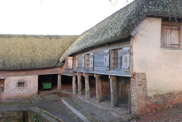
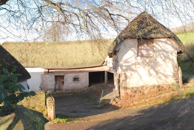
The moorland is also rich in history, with ancient burial mounds and stone circles scattered throughout the area. Mills Moors has been inhabited for thousands of years, and evidence of its past can be seen in the ruins of old settlements and farmsteads.

Overall, Mills Moors is a place of natural beauty and tranquility, offering visitors a chance to escape the hustle and bustle of modern life and connect with the rugged landscape of Devon's countryside.

If you have any feedback on the listing, please let us know in the comments section below.
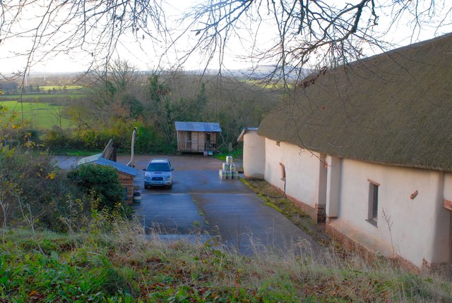
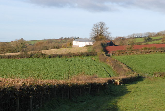
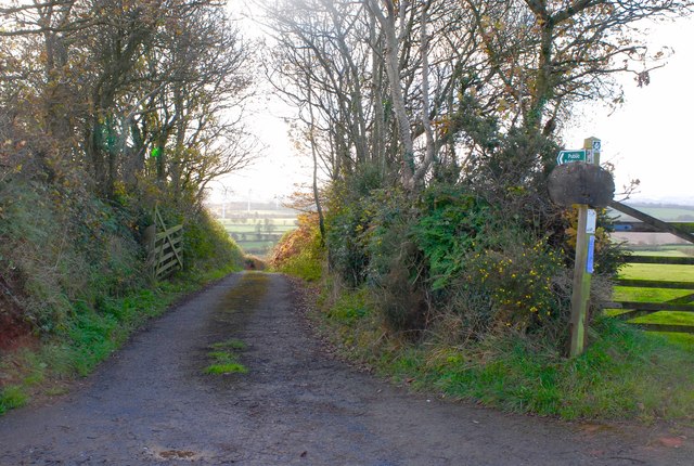
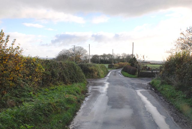
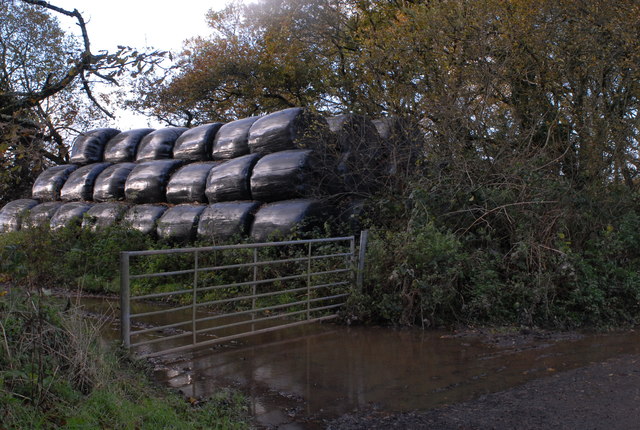
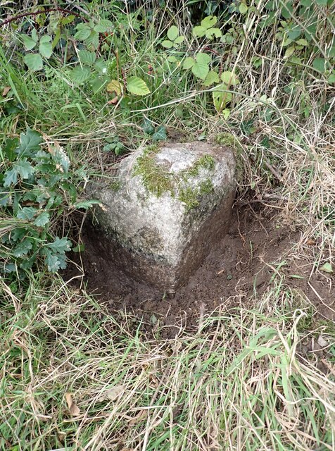
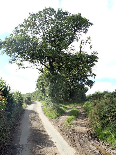
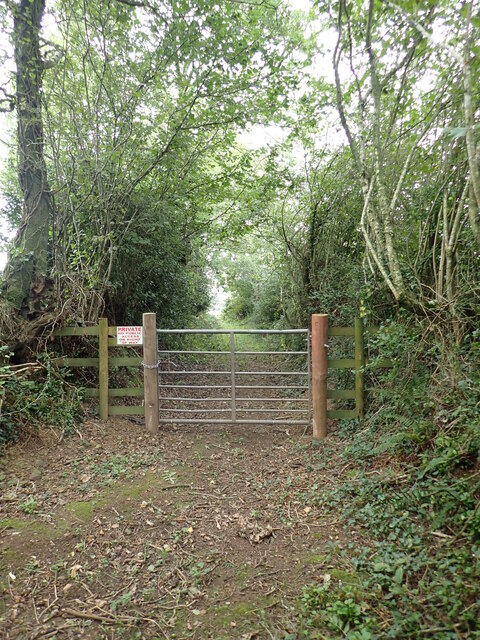
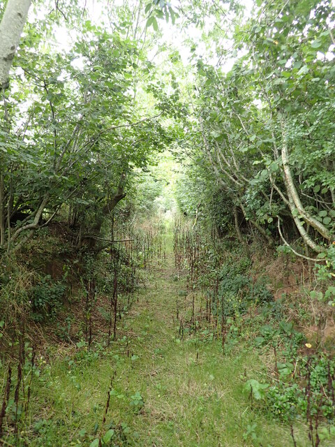
Mills Moors Images

Images are sourced within 2km of 50.820934/-3.8768239 or Grid Reference SS6704. Thanks to Geograph Open Source API. All images are credited.

Field near Bankland Farm
Sheep grazing (2) Similar photo as earlier but taken from the entrance drive to Nichols Nymett Hotel.
Sheep grazing (2)
Similar photo as earlier but taken from the entrance drive to Nichols Nymett Hotel.
Westacott Barton One of the traditional farm buildings.
Westacott Barton
One of the traditional farm buildings.
Westacott Barton Ploughed field at the side of Westacott Barton farm.
Westacott Barton
Ploughed field at the side of Westacott Barton farm.
Westacott Barton Part of the farmyard
Westacott Barton
Part of the farmyard
Taw Valley Brewery One of the farm buildings now houses a micro brewery.
Taw Valley Brewery
One of the farm buildings now houses a micro brewery.
Westacott Barton Two more fields along the footpath to the farm.
Westacott Barton
Two more fields along the footpath to the farm.
Westacott Barton The entrance drive down to Westacott Barton
Westacott Barton
The entrance drive down to Westacott Barton
Staddon Moor An wet field of Culm grasses.
Staddon Moor
An wet field of Culm grasses.
Road junctions For a minor narrow country lane, there are a lot of crossing and junctions.
Road junctions
For a minor narrow country lane, there are a lot of crossing and junctions.
Nichols Nymett Cross The road junction described as Nichols Nymett Cross.
Nichols Nymett Cross
The road junction described as Nichols Nymett Cross.
Ruby Red Sheep The normally white sheep have a reddish hue from coming into contact with the red Devon soil.
Ruby Red Sheep
The normally white sheep have a reddish hue from coming into contact with the red Devon soil.
Silage Bales A stack of silage bales stored just off the road and sheltered by the narrow strip of woodland.
Silage Bales
A stack of silage bales stored just off the road and sheltered by the narrow strip of woodland.
Old Boundary Marker Parish Boundary Marker sunk in the grass verge beside a fingerpost on the northwest side of the crossroads at Farley's Grave. On the boundary of Zeal Manachorum and Coldridge parishes. Inscribed ZEAL / MONACHORUM and COLD / RIDGE. Grade II Listed details <span class="nowrap"><a title="https://historicengland.org.uk/listing/the-list/list-entry/1277820" rel="nofollow ugc noopener" href="https://historicengland.org.uk/listing/the-list/list-entry/1277820">Link</a><img style="margin-left:2px;" alt="External link" title="External link - shift click to open in new window" src="https://s1.geograph.org.uk/img/external.png" width="10" height="10"/></span>. See also <span class="nowrap"><a title="http://www.flickr.com/photos/bridgemarkertim/5330935568/" rel="nofollow ugc noopener" href="http://www.flickr.com/photos/bridgemarkertim/5330935568/">Link</a><img style="margin-left:2px;" alt="External link" title="External link - shift click to open in new window" src="https://s1.geograph.org.uk/img/external.png" width="10" height="10"/></span>.

Milestone Society National ID: DV_NTHO02pb
Old Boundary Marker
Parish Boundary Marker sunk in the grass verge beside a fingerpost on the northwest side of the crossroads at Farley's Grave. On the boundary of Zeal Manachorum and Coldridge parishes. Inscribed ZEAL / MONACHORUM and COLD / RIDGE. Grade II Listed details LinkExternal link. See also LinkExternal link. Milestone Society National ID: DV_NTHO02pb
Titterton Cross The road to the left leads to Lowton and Bondleigh and the trackway on the right leads to Clapperdown via a PROW, but originally led towards Millsome Castle, a 12thC motte and bailey.
Titterton Cross
The road to the left leads to Lowton and Bondleigh and the trackway on the right leads to Clapperdown via a PROW, but originally led towards Millsome Castle, a 12thC motte and bailey.
The end of Gulliver Lane No access beyond this gate which rapidly leads into farmland. The old lane here takes on a sunken nature with high banks with coppiced trees topping them. It is a great place for wildlife, we heard nowt except for bird calls , the rustle of the leaves and a trickling stream.
The end of Gulliver Lane
No access beyond this gate which rapidly leads into farmland. The old lane here takes on a sunken nature with high banks with coppiced trees topping them. It is a great place for wildlife, we heard nowt except for bird calls , the rustle of the leaves and a trickling stream.
The jungle that is Half Farthing Lane Care must be taken when walking down here especially if shorts are worn; brambles and nettles will paw at your legs, whilst burdock burrs will attach themselves to your socks and bootlaces.
Half Farthing Lane once reached Cholhouse, but where the PROW crosses the stile and heads towards Clapperdown, the hedge has taken over the lane, and it would take a week with a machete to cut through all the blackthorn.
The jungle that is Half Farthing Lane
Care must be taken when walking down here especially if shorts are worn; brambles and nettles will paw at your legs, whilst burdock burrs will attach themselves to your socks and bootlaces. Half Farthing Lane once reached Cholhouse, but where the PROW crosses the stile and heads towards Clapperdown, the hedge has taken over the lane, and it would take a week with a machete to cut through all the blackthorn.
Boundary Stone on the way to Westworthy On the left face there is faint writing which spells 'Bondleigh P' and on this face it spells 'Zeal P'. On the top of the stone there is a rivet benchmark. 
It seems to have been exposed by the farmr who had widened the adjacent field gate.
Boundary Stone on the way to Westworthy
On the left face there is faint writing which spells 'Bondleigh P' and on this face it spells 'Zeal P'. On the top of the stone there is a rivet benchmark. It seems to have been exposed by the farmr who had widened the adjacent field gate.
Show me another place!

Mills Moors is located at Grid Ref: SS6704 (Lat: 50.820934, Lng: -3.8768239)

Administrative County: Devon

District: Mid Devon

Police Authority: Devon and Cornwall

What 3 Words

///divided.flaunting.prongs. Near North Tawton, Devon

Related Wikis

Court Green

Court Green is a house on Essington Road in North Tawton, Devon, England. It was the home the poets Ted Hughes and Sylvia Plath moved to in late August...

North Tawton Town Hall

North Tawton Town Hall is a municipal building in The Square, North Tawton, Devon, England. The town hall, which is used for public events, is a Grade...

Bondleigh

Bondleigh is a village and civil parish in the West Devon district of Devon, England, on the River Taw, north of North Tawton. According to the 2011 census...

South West Peninsula

The South West Peninsula is the area of England between the Bristol Channel to the north and the English Channel to the south. It is part of the South...

Nearby Amenities

Located within 500m of 50.820934,-3.8768239
Westworthy Cross
Place: locality
Source: OS OpenData StreetView
Lat/Long: 50.8192014/-3.8738395
The data included in this document is from www.openstreetmap.org. The data is made available under ODbL.

Have you been to Mills Moors?

Leave your review of Mills Moors below (or comments, questions and feedback).