Gall Moss

Downs, Moorland in Ayrshire

Scotland

Gall Moss

Covenanter Monument near Waistland Farm Two Covenanters, George Corson and John Hair, were allegedly shot by the same party of “dragoons” that conducted the summary executions at Carsgailoch and pursued Hugh Hutchison of Dalgig in the summer of 1685…
Covenanter Monument near Waistland Farm Credit: Colin Kinnear

Gall Moss is a stunning natural landscape located in Ayrshire, Scotland. Spanning across vast acres of land, it is characterized by its diverse terrain, including downs and moorland. This area is well-known for its unique and picturesque features, attracting visitors from all over the world.

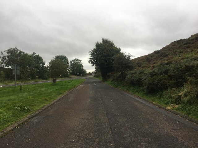
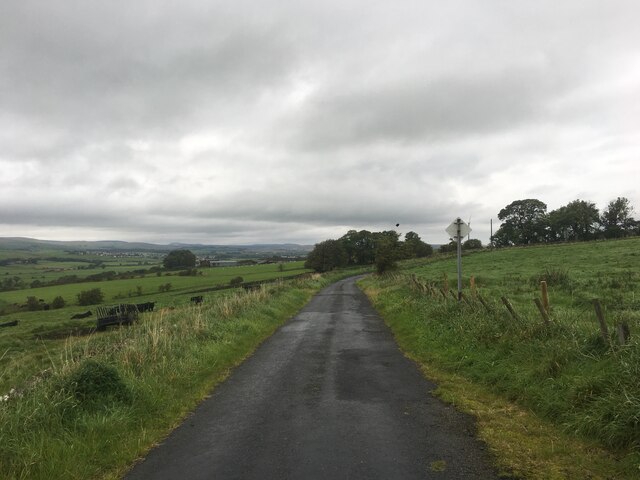
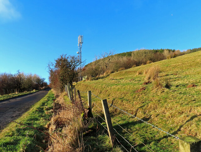
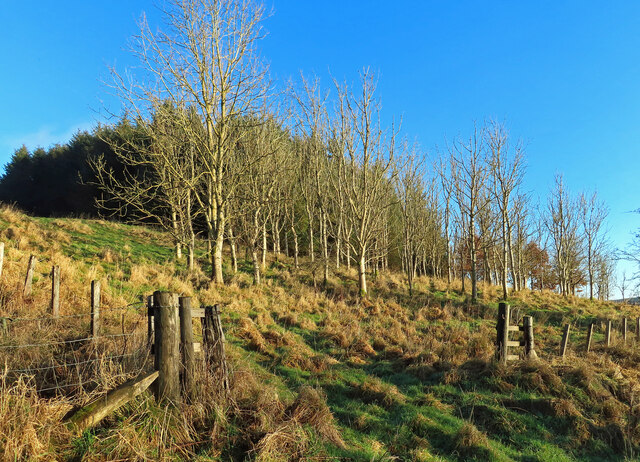
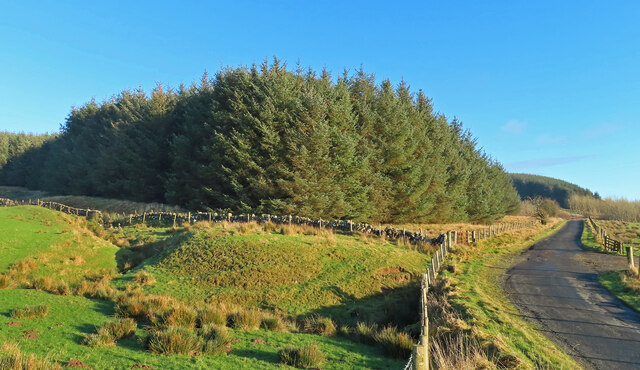
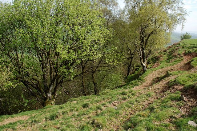
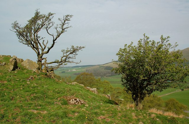
The downs of Gall Moss are rolling hills, covered with lush green grass and scattered with wildflowers. These gentle slopes provide breathtaking panoramic views of the surrounding countryside. It is a perfect spot for leisurely walks, picnics, and photography, as it offers a peaceful and serene ambiance.

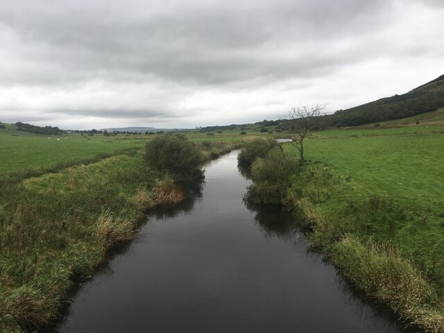
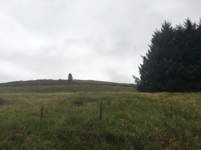
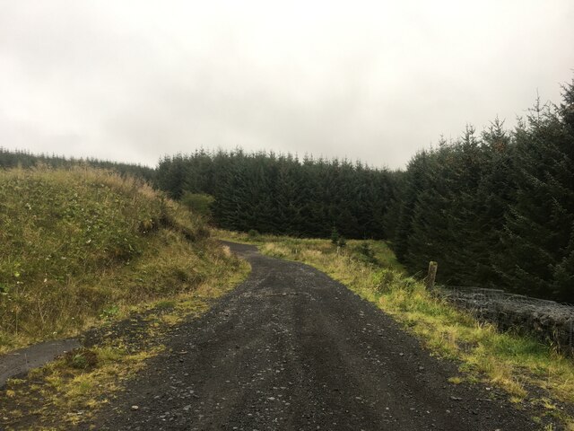
In contrast to the downs, the moorland of Gall Moss is a more rugged and untamed landscape. It is characterized by heather-covered hills, peat bogs, and small streams. The moorland is home to a variety of wildlife, such as red deer, birds of prey, and rare plant species. Nature enthusiasts often visit this area to observe and appreciate the diverse flora and fauna.

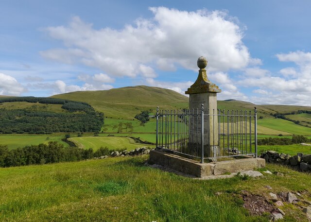
Gall Moss is also renowned for its historical significance. The area has archaeological sites dating back to ancient times, including burial mounds and stone circles. These remnants of the past provide a glimpse into the rich history and cultural heritage of the region.

Overall, Gall Moss is a captivating destination that offers a blend of natural beauty, tranquility, and historical significance. Whether one is seeking outdoor adventures, a peaceful retreat, or a journey into the past, this remarkable landscape has something to offer for everyone.

If you have any feedback on the listing, please let us know in the comments section below.
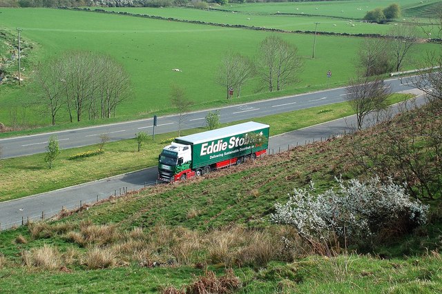
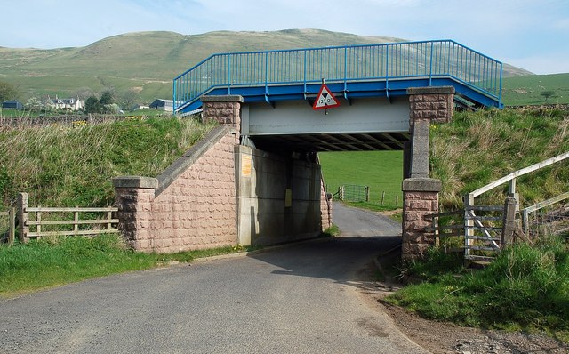
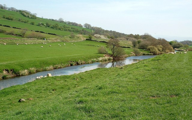
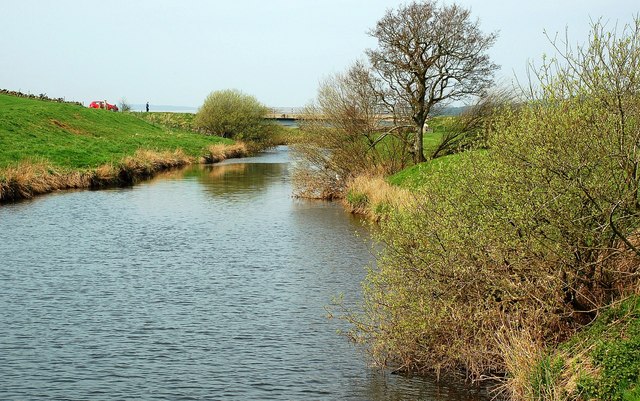
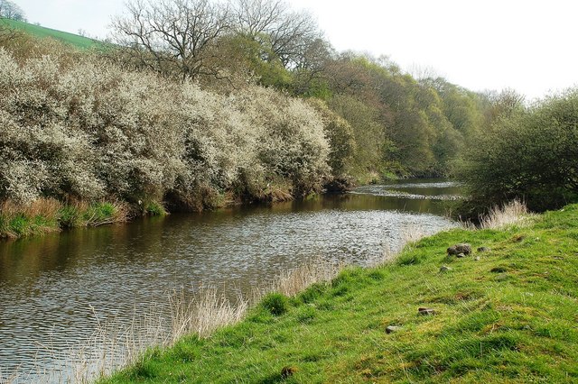
Gall Moss Images

Images are sourced within 2km of 55.397425/-4.1143706 or Grid Reference NS6613. Thanks to Geograph Open Source API. All images are credited.

Covenanter Monument near Waistland Farm Two Covenanters, George Corson and John Hair, were allegedly shot by the same party of “dragoons” that conducted the summary executions at Carsgailoch and pursued Hugh Hutchison of Dalgig in the summer of 1685…
Covenanter Monument near Waistland Farm
Two Covenanters, George Corson and John Hair, were allegedly shot by the same party of “dragoons” that conducted the summary executions at Carsgailoch and pursued Hugh Hutchison of Dalgig in the summer of 1685…
Lay-by on the A76
Lay-by on the A76
River Nith
River Nith
Small quarry, Hillend Knowe
Minor road near Little Garclaugh
Gap in the trees on Craigdullyeart Hill
Gravel road near Craigshiel
Duncansburn Bridge Floodwater had receded from the road when this shot was taken but the warning signs were still in place. Rail traffic between Glasgow Central and Carlisle uses this line. Network Rail has improved the worker access since the previous shot was taken <a href="https://www.geograph.org.uk/photo/2370045">NS6613 : A Shiny New Railway Bridge</a>
Duncansburn Bridge
Floodwater had receded from the road when this shot was taken but the warning signs were still in place. Rail traffic between Glasgow Central and Carlisle uses this line. Network Rail has improved the worker access since the previous shot was taken NS6613 : A Shiny New Railway Bridge
A comms mast in the Nith Valley Located near Corsencon Farm.
A comms mast in the Nith Valley
Located near Corsencon Farm.
Woodland on Hillend Knowe A strip of deciduous trees occupies the lower slope with the coniferous plantation higher up the hill.
Woodland on Hillend Knowe
A strip of deciduous trees occupies the lower slope with the coniferous plantation higher up the hill.
Plantation on Hillend Knowe Located on the sunny side of the Nith Valley, near New Cumnock.
Plantation on Hillend Knowe
Located on the sunny side of the Nith Valley, near New Cumnock.
Above Park Burn This small burn lies in a surprisingly deep valley, falling away steeply from the farmland above it. The trees mark the start of the valley.
Above Park Burn
This small burn lies in a surprisingly deep valley, falling away steeply from the farmland above it. The trees mark the start of the valley.
Above Park Burn Straggly hawthorns on the grazing land above Park Burn, close to the A76 near New Cumnock.
Above Park Burn
Straggly hawthorns on the grazing land above Park Burn, close to the A76 near New Cumnock.
Above the A76 Looking down towards a lay-by on the A76, to the east of New Cumnock.  The lay-by is in the next square.
Above the A76
Looking down towards a lay-by on the A76, to the east of New Cumnock. The lay-by is in the next square.
A Shiny New Railway Bridge This brightly coloured bridge carries the Nith Valley railway line over a minor road to the east of New Cumnock.
A Shiny New Railway Bridge
This brightly coloured bridge carries the Nith Valley railway line over a minor road to the east of New Cumnock.
The River Nith Looking downstream on a fine but hazy April morning. The Explorer map confirms the location inside the corner of this square.
The River Nith
Looking downstream on a fine but hazy April morning. The Explorer map confirms the location inside the corner of this square.
The River Nith Looking upstream from outside the square.  The people by the bridge were waiting for the arrival of the Great Britain IV Railtour on the Nith Valley line.
The River Nith
Looking upstream from outside the square. The people by the bridge were waiting for the arrival of the Great Britain IV Railtour on the Nith Valley line.
Looking Down the River Nith Looking downstream on a fine but hazy April morning.  The Blackthorn bushes on the far bank were in full bloom.
Looking Down the River Nith
Looking downstream on a fine but hazy April morning. The Blackthorn bushes on the far bank were in full bloom.
Show me another place!

Gall Moss is located at Grid Ref: NS6613 (Lat: 55.397425, Lng: -4.1143706)

Unitary Authority: East Ayrshire

Police Authority: Ayrshire

What 3 Words

///turntable.relating.slicing. Near New Cumnock, East Ayrshire

Related Wikis

Mansfield, East Ayrshire

Mansfield is a village in East Ayrshire in Scotland. It is north of New Cumnock from which it is separated by the River Nith and the adjacent village of...

River Afton

The River Afton (or Afton Water) is a small river in Ayrshire, Scotland, which flows north from Alwhat Hill in the Carsphairn and Scaur Hills, through...

New Cumnock railway station

New Cumnock railway station is a railway station serving the town of New Cumnock, East Ayrshire, Scotland. The station is managed by ScotRail and is on...

New Cumnock

New Cumnock is a town in East Ayrshire, Scotland. It expanded during the coal-mining era from the late 18th century, and mining remained its key industry...

Nearby Amenities

Located within 500m of 55.397425,-4.1143706
Power: pole
Lat/Long: 55.3943699/-4.1120268
Power: pole
Lat/Long: 55.394251/-4.1099432
Power: pole
Lat/Long: 55.3942222/-4.11347
Power: pole
Lat/Long: 55.394094/-4.1147933
Power: pole
Lat/Long: 55.3940028/-4.1157284
Power: pole
Lat/Long: 55.3938343/-4.1173261
Power: pole
Lat/Long: 55.3938331/-4.1188893
Power: pole
Lat/Long: 55.4015271/-4.1162328
Power: pole
Lat/Long: 55.401265/-4.1149344
Power: pole
Lat/Long: 55.4010223/-4.1136722
Power: pole
Lat/Long: 55.4007641/-4.1124032
Power: pole
Lat/Long: 55.4005098/-4.1111546
Power: pole
Lat/Long: 55.4002452/-4.1099105
Power: pole
Lat/Long: 55.4000525/-4.1089311
Power: pole
Lat/Long: 55.3998701/-4.108024
The data included in this document is from www.openstreetmap.org. The data is made available under ODbL.

Have you been to Gall Moss?

Leave your review of Gall Moss below (or comments, questions and feedback).