Rowley Down

Downs, Moorland in Devon North Devon

England

Rowley Down

Challacombe: by Brockenbarrow Farm Looking south east across the B3358 road towards Shoulsbarrow Common
Challacombe: by Brockenbarrow Farm Credit: Martin Bodman

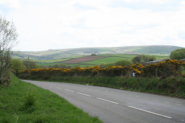
Rowley Down is a small village located in the county of Devon, England. Situated on the fringes of the Dartmoor National Park, it lies within the heart of the county's stunning moorland landscape. With a population of around 200 residents, Rowley Down offers a peaceful and rural setting for its inhabitants.

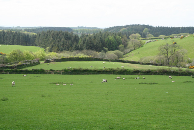
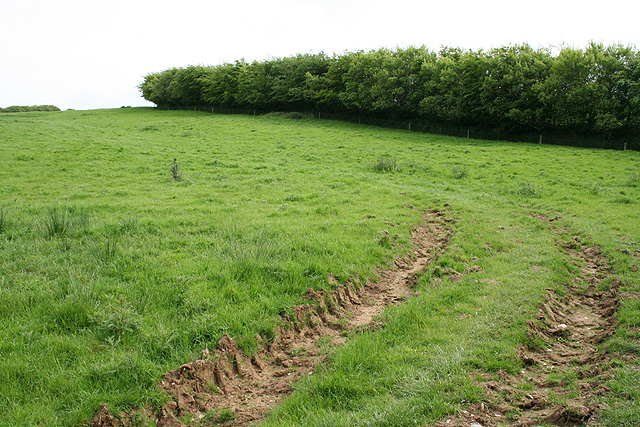
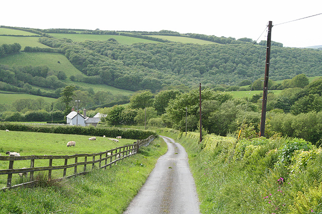
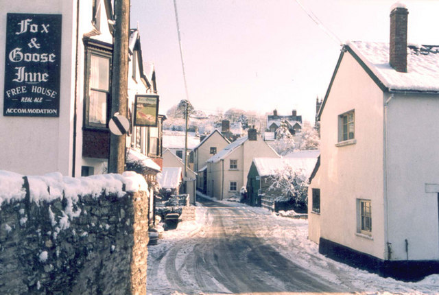
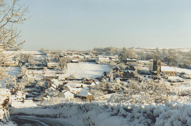
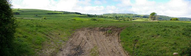
The village is characterized by its charming thatched-roof cottages and picturesque countryside views. It provides a tranquil escape from the hustle and bustle of city life, attracting nature lovers and outdoor enthusiasts alike. The surrounding area is dotted with rolling hills, lush green fields, and ancient woodlands, making it an ideal location for hiking, cycling, or simply enjoying leisurely walks.

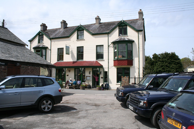
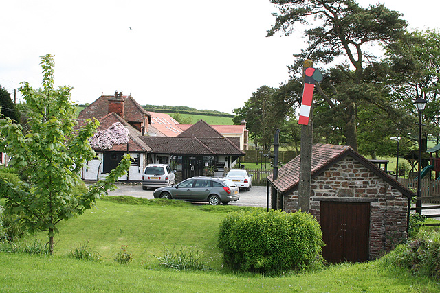
Rowley Down boasts a close-knit community, with a village hall serving as a hub for social gatherings and events. The village also has a small primary school, ensuring a sense of community and providing education for local children.

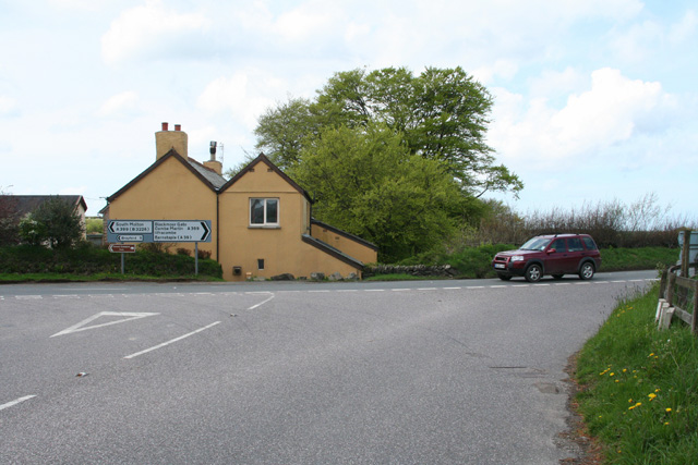
Despite its rural setting, Rowley Down benefits from good transport links, with the nearby town of Tavistock just a short drive away. Tavistock offers a range of amenities, including shops, restaurants, and leisure facilities, ensuring residents have access to all necessary services.

Overall, Rowley Down offers a tranquil and idyllic rural lifestyle, with its stunning surroundings and strong community spirit. It is a place where residents can enjoy the beauty of the natural landscape and forge lasting connections with their neighbors.

If you have any feedback on the listing, please let us know in the comments section below.

Rowley Down Images

Images are sourced within 2km of 51.173702/-3.9162369 or Grid Reference SS6643. Thanks to Geograph Open Source API. All images are credited.

Challacombe: by Brockenbarrow Farm Looking south east across the B3358 road towards Shoulsbarrow Common
Challacombe: by Brockenbarrow Farm
Looking south east across the B3358 road towards Shoulsbarrow Common
Challacombe: by Friendship Farm Junction of the B3358 Simonsbath road with the A399 South Molton - Combe Martin road. Looking west
Challacombe: by Friendship Farm
Junction of the B3358 Simonsbath road with the A399 South Molton - Combe Martin road. Looking west
Challacombe: by Westland Farm Looking west-south-west. Beyond the conifers is Wistlandpound Reservoir
Challacombe: by Westland Farm
Looking west-south-west. Beyond the conifers is Wistlandpound Reservoir
Parracombe: The Fox & Goose Inn A pub with an entry in the Good Pub Guide 2005. Looking north west from the car park across the street
Parracombe: The Fox & Goose Inn
A pub with an entry in the Good Pub Guide 2005. Looking north west from the car park across the street
Parracombe: below Rowley Down On the bridleway to Brockenbarrow. Looking south
Parracombe: below Rowley Down
On the bridleway to Brockenbarrow. Looking south
Parracombe: at Rowley Gate The access lane to Rowley Barton. Looking west-north-west
Parracombe: at Rowley Gate
The access lane to Rowley Barton. Looking west-north-west
Kentisbury: Blackmoor Gate The Old Station House Inn. This was once a station on the Lynton & Barnstaple Railway which was closed before World War II. It is now a public house. Looking south-south-west
Kentisbury: Blackmoor Gate
The Old Station House Inn. This was once a station on the Lynton & Barnstaple Railway which was closed before World War II. It is now a public house. Looking south-south-west
Christ Church, Parracombe The new Church built in 1878 when St.Petrocks Churchtown was abandoned.
Christ Church, Parracombe
The new Church built in 1878 when St.Petrocks Churchtown was abandoned.
The Centre of Parracombe in winter Very occasionally snow prevented vehicles getting up the 1:4 and 1:5 hills out of the village.
The Centre of Parracombe in winter
Very occasionally snow prevented vehicles getting up the 1:4 and 1:5 hills out of the village.
A Winter landscape of Parracombe A delightful village on the River Heddon. Population in the village around 110 and in the Parish around 310.
A Winter landscape of Parracombe
A delightful village on the River Heddon. Population in the village around 110 and in the Parish around 310.
Dick Smythe One time Exmoor shepherd, a Parracombe postman, an innumerable odd jobs man and a great raconteur - that is if you could understand the local dialect. R.I.P
Dick Smythe
One time Exmoor shepherd, a Parracombe postman, an innumerable odd jobs man and a great raconteur - that is if you could understand the local dialect. R.I.P
Minniemoor View Composite of three images looking easterly across the square from a gateway on Minniemoor Lane hence the tracks in the foreground. The A399 skirts around the hill (Kentisbury Down) to the left.
Minniemoor View
Composite of three images looking easterly across the square from a gateway on Minniemoor Lane hence the tracks in the foreground. The A399 skirts around the hill (Kentisbury Down) to the left.
Brockenbarrow Farm "Follow The Yellow Brick Road".  No sign of the Wizard of Oz and these marland bricks would probably have been worth more as architectural salvage than as road fill
Brockenbarrow Farm
"Follow The Yellow Brick Road". No sign of the Wizard of Oz and these marland bricks would probably have been worth more as architectural salvage than as road fill
Highley Farm The farm lies on the R Heddon which rises nearby at Higher Holworthy and, after penetrating the Parracombe embankments, joins the sea at Heddon's Mouth.
Highley Farm
The farm lies on the R Heddon which rises nearby at Higher Holworthy and, after penetrating the Parracombe embankments, joins the sea at Heddon's Mouth.
Higher Down Stocking ratios for sheep increase significantly once away from the open moor and onto managed pasture.
On the skyline is one of the tumuli shown on the map
Higher Down
Stocking ratios for sheep increase significantly once away from the open moor and onto managed pasture. On the skyline is one of the tumuli shown on the map
Tumulus on Higher Down
Bridleway to Parracombe The bridleway runs in a straight line for some distance alongside an ancient-looking stone dyke.
Bridleway to Parracombe
The bridleway runs in a straight line for some distance alongside an ancient-looking stone dyke.
Holwell Barrow The barrow sits astride the grid line; this is its north side.  Although now found in the middle of a large field, the map shows a parish boundary running through the barrow which suggests there would also once have been a field boundary here.
Holwell Barrow
The barrow sits astride the grid line; this is its north side. Although now found in the middle of a large field, the map shows a parish boundary running through the barrow which suggests there would also once have been a field boundary here.
Show me another place!

Rowley Down is located at Grid Ref: SS6643 (Lat: 51.173702, Lng: -3.9162369)

Administrative County: Devon

District: North Devon

Police Authority: Devon and Cornwall

What 3 Words

///pictured.kneeled.villager. Near Combe Martin, Devon

Nearby Locations

Rowley Down

Related Wikis

Blackmoor Gate

Blackmoor Gate, the western gateway to Exmoor National Park, sits on the watershed between tributaries of the rivers Yeo and Heddon nearly 305 m (1000...

Blackmoor railway station

Blackmoor railway station, situated near to Blackmoor Gate at the western boundary of Exmoor National Park, England, was a station on the Lynton and Barnstaple...

River Heddon

The River Heddon is a river in Devon, in the south of England. Running along the western edges of Exmoor, the river reaches the North Devon coast at Heddon...

Parracombe

Parracombe is a rural settlement 4 miles (6 km) south-west of Lynton, in Devon, England. It is situated in the Heddon Valley, on Exmoor. The population...

Nearby Amenities

Located within 500m of 51.173702,-3.9162369
Rowley Down
Place: locality
Lat/Long: 51.1728707/-3.9180438
The data included in this document is from www.openstreetmap.org. The data is made available under ODbL.

Have you been to Rowley Down?

Leave your review of Rowley Down below (or comments, questions and feedback).