Dingle Brae

Downs, Moorland in Ayrshire

Scotland

Dingle Brae

Rough grazing above Quintin Knowe Looking across rough grazing land from the broad northeast ridge of Blackcraig Hill towards Quintin Knowe.
Rough grazing above Quintin Knowe Credit: Mark Nightingale

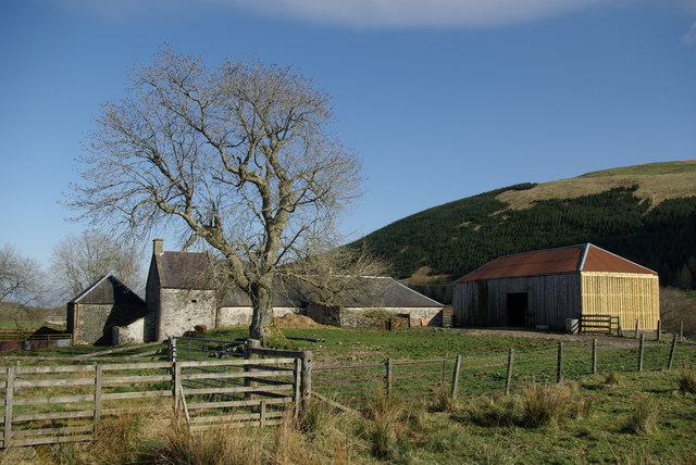
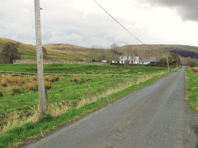
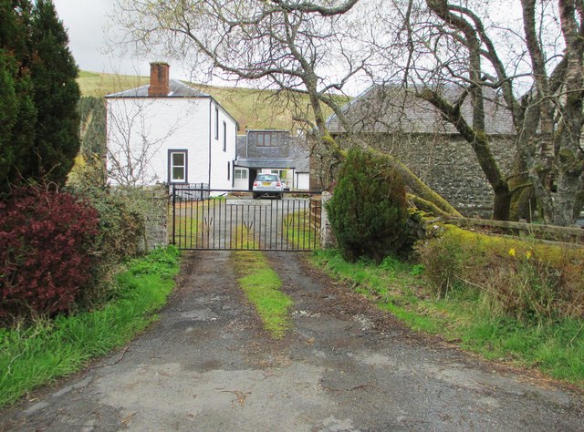
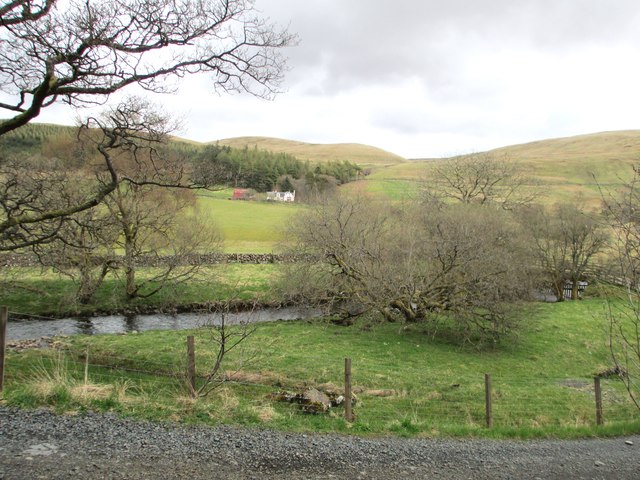
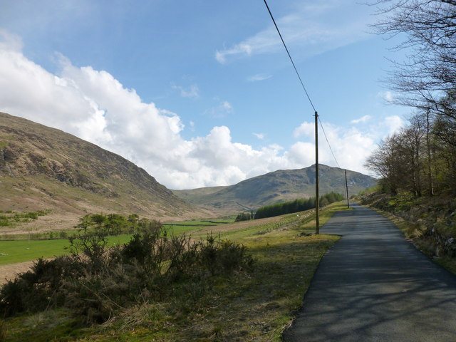
Dingle Brae, located in Ayrshire, Scotland, is a picturesque area known for its captivating downs and moorland landscapes. Spread across a vast expanse, Dingle Brae offers visitors a unique blend of rugged beauty and tranquility.

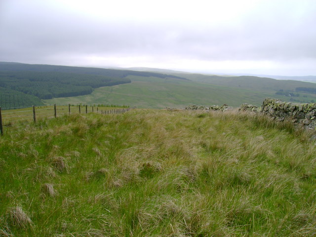
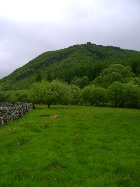
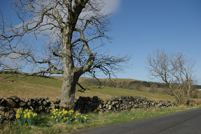
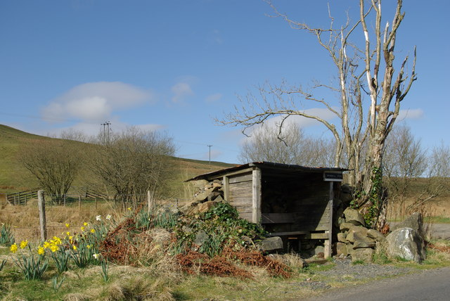
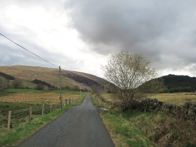
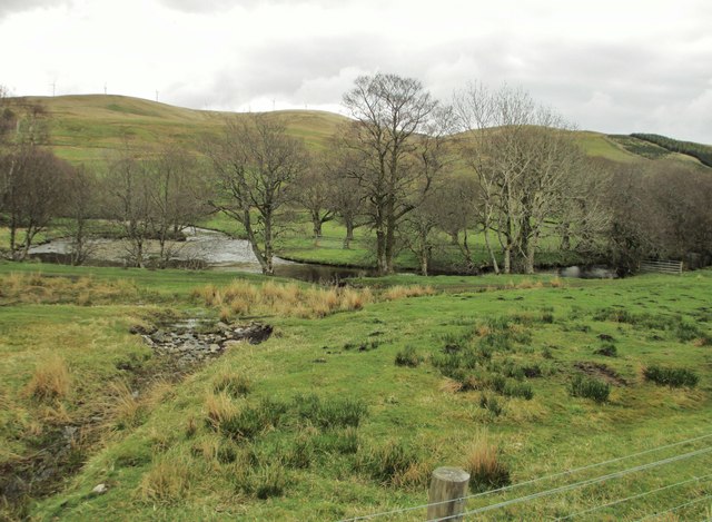
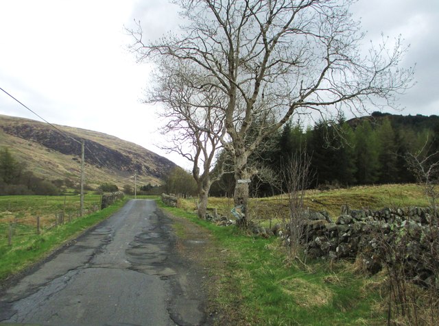
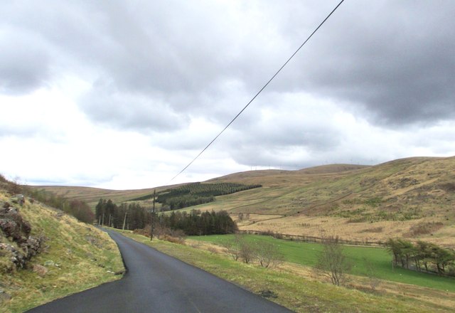
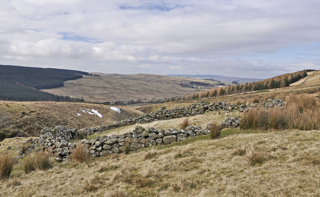
The downs of Dingle Brae are characterized by rolling hills covered in lush, green grasses. These undulating slopes offer breathtaking panoramic views of the surrounding countryside, making it a popular spot for hikers and nature enthusiasts. The downs are dotted with scattered trees, providing shade and adding to the area's natural charm.

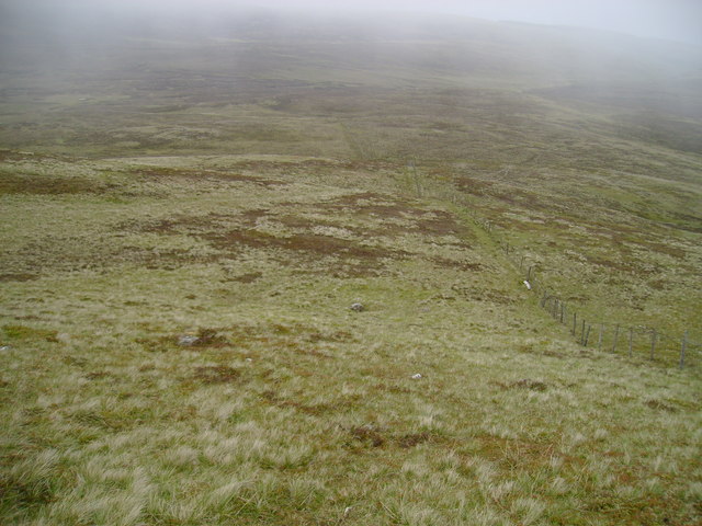
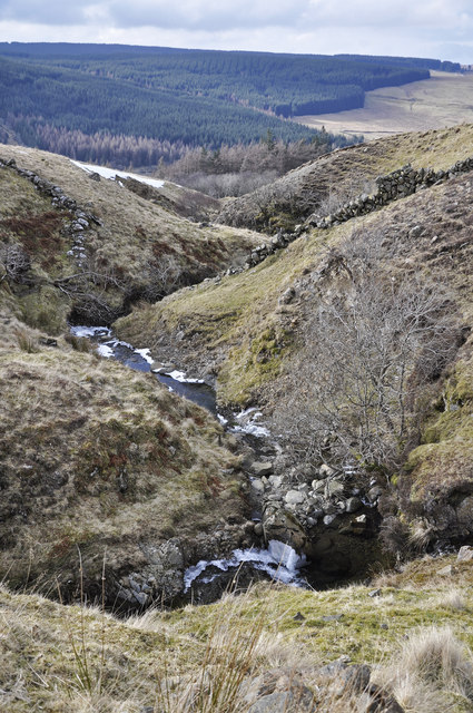
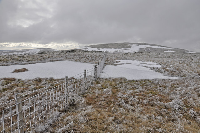
In contrast, the moorland of Dingle Brae showcases a more rugged and wild terrain. It is characterized by vast expanses of heather and gorse, creating a rich tapestry of purples and yellows. Moorland birds, including curlews and lapwings, can often be spotted here, adding to the area's biodiversity.

Dingle Brae is also home to a variety of wildlife, including red deer, rabbits, and various bird species. The area boasts several walking trails and paths, allowing visitors to explore its natural wonders at their own pace. The tranquil atmosphere and unspoiled beauty of Dingle Brae make it an ideal location for those seeking a peaceful retreat or a place to reconnect with nature.

Overall, Dingle Brae, Ayrshire, with its downs and moorland, offers a stunning array of natural landscapes, providing visitors with an opportunity to immerse themselves in the beauty of Scotland's countryside.

If you have any feedback on the listing, please let us know in the comments section below.

Dingle Brae Images

Images are sourced within 2km of 55.354793/-4.147024 or Grid Reference NS6308. Thanks to Geograph Open Source API. All images are credited.

Rough grazing above Quintin Knowe Looking across rough grazing land from the broad northeast ridge of Blackcraig Hill towards Quintin Knowe.
Rough grazing above Quintin Knowe
Looking across rough grazing land from the broad northeast ridge of Blackcraig Hill towards Quintin Knowe.
Between wall and fence Although this stretch of dry stone wall is dilapidated, allowing easy access from the right, sheep seem to have relatively little interest in this narrow parcel of land judging by the length of the grass.
Between wall and fence
Although this stretch of dry stone wall is dilapidated, allowing easy access from the right, sheep seem to have relatively little interest in this narrow parcel of land judging by the length of the grass.
Meadow near Blackcraig Meadow on the east bank of Afton Water with Boltcraig Hill in the background.
Meadow near Blackcraig
Meadow on the east bank of Afton Water with Boltcraig Hill in the background.
Lochingerroch Farm in Glen Afton
Lochingerroch
Farm in Glen Afton
Glen Afton road near Lochingerroch
Roadside shelter 'Windmill View' south of Lochingerroch One of several similar shelters to be found in Glen Afton
Roadside shelter 'Windmill View' south of Lochingerroch
One of several similar shelters to be found in Glen Afton
A minor road at Lochingerroch
The entrance to Lochingerroch
Heading into Glen Afton
Afton Water with Hare Hill Wind Farm in the distance
Bolt Burn Bridge
Bolt Burn Bridge
Looking towards Hare Hill Wind Farm
Looking across Afton Water to Blackcraig The bridge, which carries the track to Blackcraig over Afton Water, can just be seen on the right.
Looking across Afton Water to Blackcraig
The bridge, which carries the track to Blackcraig over Afton Water, can just be seen on the right.
The track to Blackcraig The bridge, over Afton Water, can just be seen to the left of the van.
The track to Blackcraig
The bridge, over Afton Water, can just be seen to the left of the van.
Circular sheep fank above Blackcraig farm
Langlee Burn above Blackcraig farm
Approaching Blackcraig Hill from the north
The Glen Afton road The flank of Blackcraig Hill is on the left, with Craigbraneoch Hill in the distance.
The Glen Afton road
The flank of Blackcraig Hill is on the left, with Craigbraneoch Hill in the distance.
Show me another place!

Dingle Brae is located at Grid Ref: NS6308 (Lat: 55.354793, Lng: -4.147024)

Unitary Authority: East Ayrshire

Police Authority: Ayrshire

What 3 Words

///bookings.cheaply.stack. Near New Cumnock, East Ayrshire

Nearby Locations

Dingle Brae

Related Wikis

Blackcraig Hill

Blackcraig Hill is a hill in the Carsphairn and Scaur Hills range, part of the Southern Uplands of Scotland. It lies southeast of the town of New Cumnock...

Knockshinnoch disaster

The Knockshinnoch disaster was a mining accident that occurred in September 1950 in the village of New Cumnock, Ayrshire, Scotland. A glaciated lake filled...

New Cumnock Town Hall

New Cumnock Town Hall is a municipal building in Castle, New Cumnock, East Ayrshire, Scotland. The structure, which is used as a community events venue...

New Cumnock

New Cumnock is a town in East Ayrshire, Scotland. It expanded during the coal-mining era from the late 18th century, and mining remained its key industry...

Nearby Amenities

Located within 500m of 55.354793,-4.147024
Power: pole
Lat/Long: 55.3540338/-4.1544855
Power: pole
Lat/Long: 55.3537893/-4.153296
Power: pole
Lat/Long: 55.3535327/-4.1520472
Power: pole
Lat/Long: 55.353724/-4.1508054
Power: pole
Lat/Long: 55.353918/-4.149547
Power: pole
Lat/Long: 55.3540761/-4.1485208
Power: pole
Lat/Long: 55.3542791/-4.1472037
Power: pole
Lat/Long: 55.3544714/-4.1459564
Power: pole
Lat/Long: 55.3546678/-4.1446821
Power: pole
Lat/Long: 55.3548362/-4.1435889
Power: pole
Lat/Long: 55.3550339/-4.1423061
Power: pole
Lat/Long: 55.3552042/-4.1412013
Power: pole
Lat/Long: 55.3553735/-4.1401031
The data included in this document is from www.openstreetmap.org. The data is made available under ODbL.

Have you been to Dingle Brae?

Leave your review of Dingle Brae below (or comments, questions and feedback).