South Tawton Common

Downs, Moorland in Devon West Devon

England

South Tawton Common

Benchmark - bank of River Taw - Belstone A benchmark cut into the north-west facing side of a granite boulder, possibly very old. Also, on upper part of rock, the letter B. Top of B touches the bright green moss. To see both certain light conditions help.

The river bank and path has many granite boulders, so finding this one is not easy.

The walk along side the Taw river is lovely.
Benchmark - bank of River Taw - Belstone Credit: Murray Oates

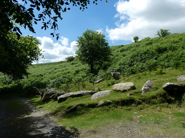
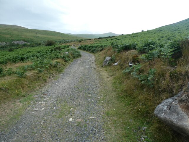
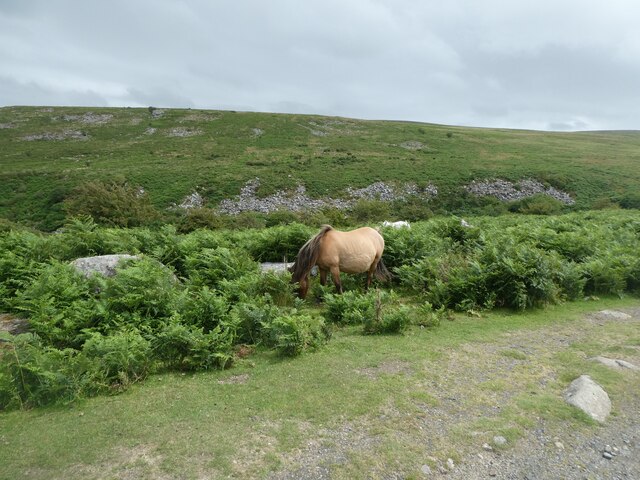
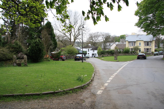
South Tawton Common, located in the county of Devon, England, is a picturesque expanse of land covering approximately 200 hectares. Characterized by its diverse landscapes, the common is made up of a combination of downs, moorland, and heathland.

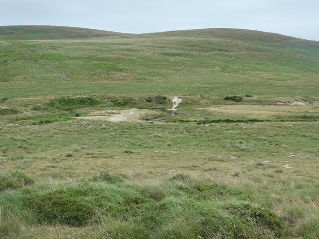
The downs of South Tawton Common offer stunning panoramic views of the surrounding countryside. These rolling hills are covered in soft grasses and scattered with vibrant wildflowers during the summer months. The area is home to a variety of bird species, including skylarks and stonechats, which can be spotted flitting through the open skies.

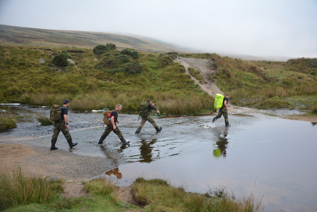
Moving towards the moorland, visitors are greeted with vast stretches of open space, covered in heather and gorse. This unique habitat supports a rich array of wildlife, such as Dartford warblers, foxes, and even the occasional deer. The moorland is crisscrossed with footpaths, allowing visitors to explore its beauty while enjoying the tranquility of the natural surroundings.

South Tawton Common also boasts several small streams and ponds, which provide a haven for dragonflies, newts, and other aquatic creatures. These wetland areas add to the diversity of the common and offer a peaceful retreat for those seeking solace in nature.

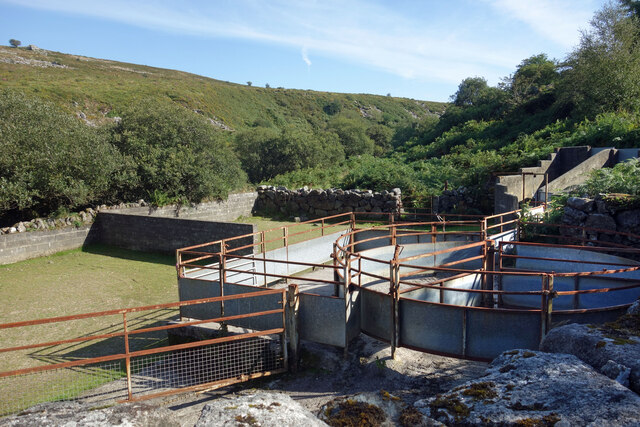
The common is managed by the Dartmoor National Park Authority, which ensures its conservation and protection for future generations to enjoy. With its breathtaking landscapes, abundant wildlife, and tranquil atmosphere, South Tawton Common is a haven for nature enthusiasts and a true gem of Devon.

If you have any feedback on the listing, please let us know in the comments section below.

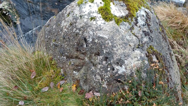
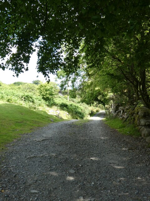
South Tawton Common Images

Images are sourced within 2km of 50.70665/-3.9342194 or Grid Reference SX6391. Thanks to Geograph Open Source API. All images are credited.

Benchmark - bank of River Taw - Belstone A benchmark cut into the north-west facing side of a granite boulder, possibly very old. Also, on upper part of rock, the letter B. Top of B touches the bright green moss. To see both certain light conditions help.

The river bank and path has many granite boulders, so finding this one is not easy.

The walk along side the Taw river is lovely.
Benchmark - bank of River Taw - Belstone
A benchmark cut into the north-west facing side of a granite boulder, possibly very old. Also, on upper part of rock, the letter B. Top of B touches the bright green moss. To see both certain light conditions help. The river bank and path has many granite boulders, so finding this one is not easy. The walk along side the Taw river is lovely.
Track on Dartmoor south of Belstone
Eastern slope of Belstone Common
Bernard's Acre, Belstone A Christian residential centre for families and young people
Bernard's Acre, Belstone
A Christian residential centre for families and young people
Track in valley of River Taw, south of Belstone
Track on Belstone Common
Dartmoor pony and valley of River Taw, Belstone Common
Taw valley, Dartmoor, with water supply access Amidst the bracken there are covers for access to the water pipes
Taw valley, Dartmoor, with water supply access
Amidst the bracken there are covers for access to the water pipes
Horseshoe bend in River Taw, Belstone Common
Old Trees on the Wall Some gnarled rowan trees growing out of a stone wall. This is along the edge of a slice of enclosed land stretching out into the moor along the valley south of Belstone.
Old Trees on the Wall
Some gnarled rowan trees growing out of a stone wall. This is along the edge of a slice of enclosed land stretching out into the moor along the valley south of Belstone.
Farm Track near Belstone A fairly good track goes along the bottom of the valley beside a few properties south of Belstone. It comes to an end just beyond here at a sheep enclosure.
Farm Track near Belstone
A fairly good track goes along the bottom of the valley beside a few properties south of Belstone. It comes to an end just beyond here at a sheep enclosure.
Sheepfold, near Belstone A substantial structure at the end of a track running south out of Belstone village.
The map shows that the public footpath along it ends here, and that's right. Progress beyond this point would be difficult.
Sheepfold, near Belstone
A substantial structure at the end of a track running south out of Belstone village. The map shows that the public footpath along it ends here, and that's right. Progress beyond this point would be difficult.
Horseshoe Ford This ford on the Taw is known as Horseshoe Ford.
Horseshoe Ford
This ford on the Taw is known as Horseshoe Ford.
Taw Marsh Ford This ford is found on the Taw on Taw Marsh close to Horseshoe Ford.
<span class="nowrap"><a title="https://youtu.be/Rclox8OTDLw" rel="nofollow ugc noopener" href="https://youtu.be/Rclox8OTDLw">Link</a><img style="margin-left:2px;" alt="External link" title="External link - shift click to open in new window" src="https://s1.geograph.org.uk/img/external.png" width="10" height="10"/></span>
Taw Marsh Ford
This ford is found on the Taw on Taw Marsh close to Horseshoe Ford. LinkExternal link
Taw Marsh
Taw Marsh
Horseshoe Ford across the Taw Looking east across the ford with a path leading up Cosdon Hill
Horseshoe Ford across the Taw
Looking east across the ford with a path leading up Cosdon Hill
The Irishman's Wall and Belstone Tor
Taw valley water extraction site Most of the water infrastructure is underground; the Taw runs in the valley beyond
Taw valley water extraction site
Most of the water infrastructure is underground; the Taw runs in the valley beyond
Show me another place!

South Tawton Common is located at Grid Ref: SX6391 (Lat: 50.70665, Lng: -3.9342194)

Administrative County: Devon

District: West Devon

Police Authority: Devon and Cornwall

What 3 Words

///tortoises.reservoir.stacks. Near Okehampton, Devon

Related Wikis

Cosdon Hill

Cosdon Hill, also called Cosdon Beacon, or Cawsand Beacon, is one of the highest hills on Dartmoor, in Devon, England. It has numerous traces of prehistoric...

Belstone

Belstone is a small village and civil parish in the West Devon District of Devon, England. == Location == Lying on the northern side of Dartmoor, the western...

Central Devon (UK Parliament constituency)

Central Devon is a constituency represented in the House of Commons of the UK Parliament since 2010 by Mel Stride, a Conservative. == History == The constituency...

South Zeal

South Zeal is a village on Dartmoor, in Devon, United Kingdom. It has a Church of England chapel and a Methodist chapel. The church is situated in the...

Nearby Amenities

Located within 500m of 50.70665,-3.9342194
Cosdon Hill
Ele: 550
Man Made: survey_point
Ref: S5362
Lat/Long: 50.7070372/-3.9329241
Man Made: cairn
Source: GPS
Lat/Long: 50.709048/-3.931662
Man Made: cairn
Source: GPS
Lat/Long: 50.7070158/-3.9330725
Cosdon Beacon
Ele: 550
Natural: peak
Source: GPS
Wikidata: Q24653264
Wikipedia: en:Cosdon Hill
Lat/Long: 50.707023/-3.933078
The data included in this document is from www.openstreetmap.org. The data is made available under ODbL.

Have you been to South Tawton Common?

Leave your review of South Tawton Common below (or comments, questions and feedback).