Stay Brae

Downs, Moorland in Kirkcudbrightshire

Scotland

Stay Brae

Track on Moorbrock Hill The final ascent to the flat summit looking back towards Green Hill.
Track on Moorbrock Hill Credit: wrobison

Stay Brae is a quaint village located in Kirkcudbrightshire, a historic county in southwest Scotland. Situated amidst picturesque Downs and Moorland landscapes, it offers residents and visitors a serene and idyllic environment to unwind and connect with nature.

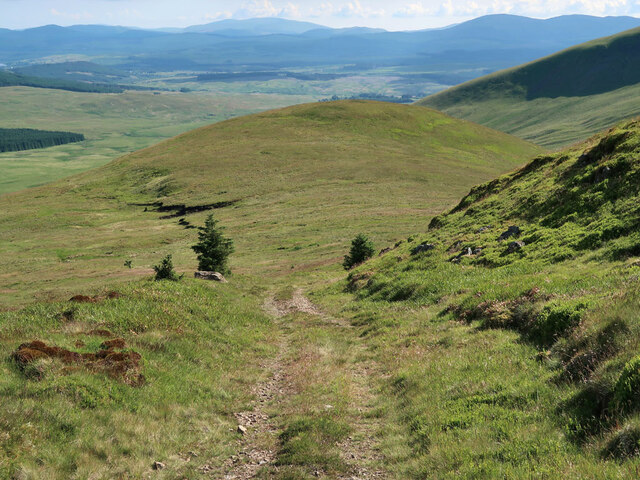
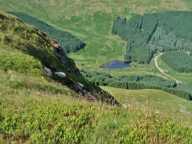
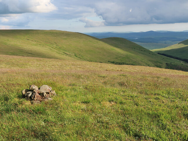
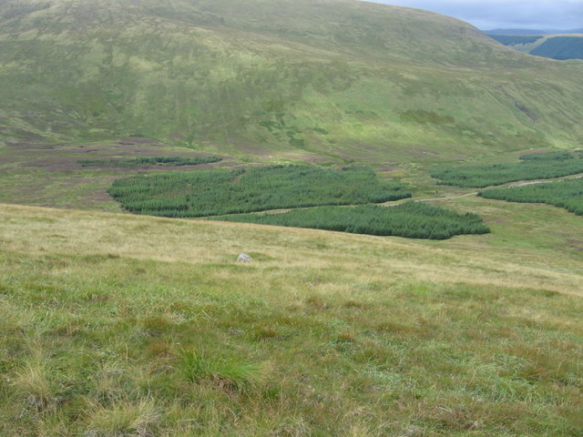
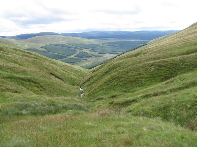
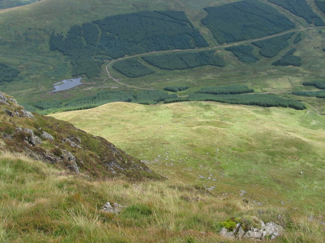
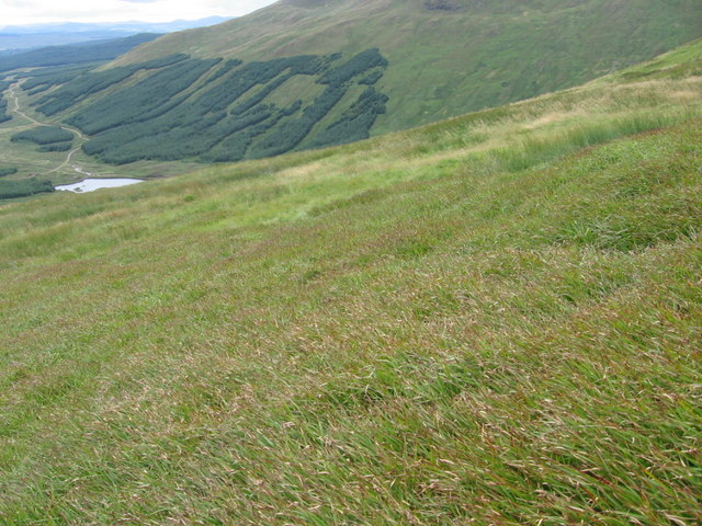
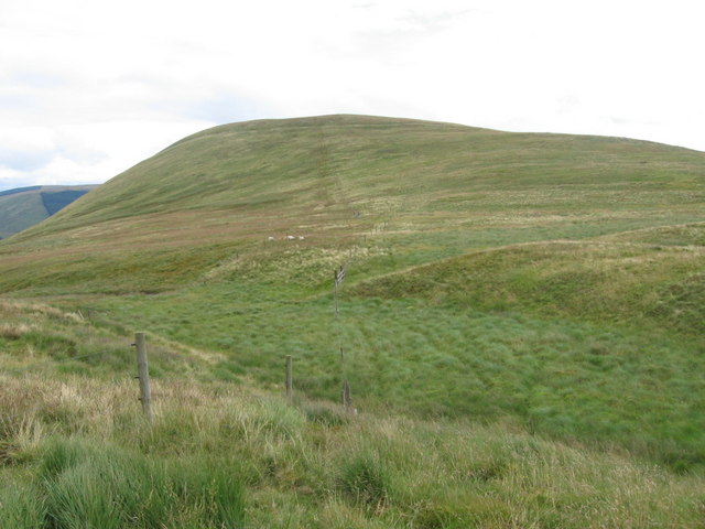
The village is well-known for its stunning natural beauty, with rolling hills, lush green valleys, and abundant wildlife. The Downs, characterized by gentle slopes and grassy meadows, provide a breathtaking backdrop for outdoor activities such as hiking, picnicking, and birdwatching. The Moorland, on the other hand, offers a more rugged terrain with heather-covered hills and meandering streams, making it a popular destination for nature enthusiasts and photographers.

Stay Brae itself is a small and close-knit community, with a friendly and welcoming atmosphere. The village is home to a handful of charming cottages, some of which have been converted into holiday rentals, offering visitors a comfortable and authentic Scottish experience. The locals take pride in their heritage and traditions and are often seen engaging in traditional activities such as Highland games and Celtic music festivals.

For those seeking a slower pace of life and a chance to escape the hustle and bustle of the city, Stay Brae in Kirkcudbrightshire is the perfect destination. With its breathtaking natural surroundings, warm community spirit, and a range of outdoor activities, it is a place where one can truly relax and reconnect with nature.

If you have any feedback on the listing, please let us know in the comments section below.
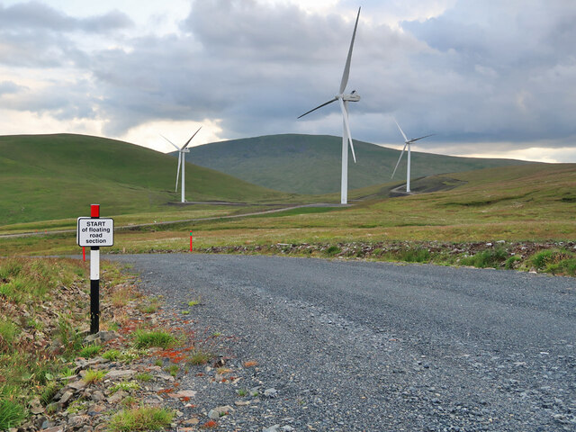
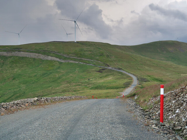
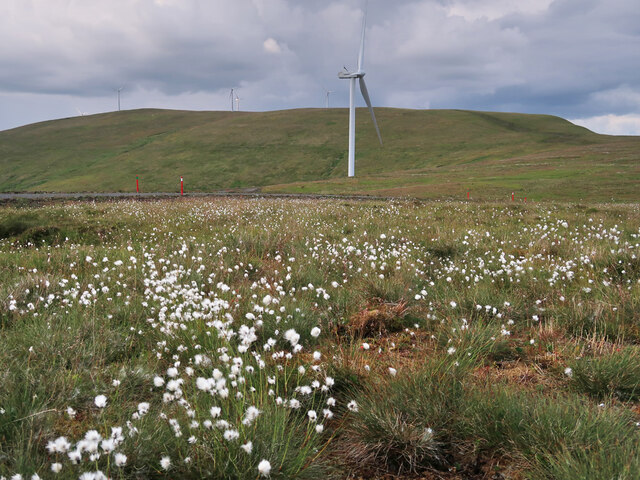
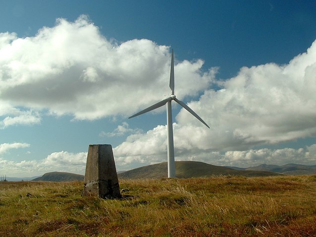
Stay Brae Images

Images are sourced within 2km of 55.271561/-4.1620187 or Grid Reference NX6299. Thanks to Geograph Open Source API. All images are credited.

Track on Moorbrock Hill The final ascent to the flat summit looking back towards Green Hill.
Track on Moorbrock Hill
The final ascent to the flat summit looking back towards Green Hill.
Man-made lochan on the Moorbrock Estate Looking down from Moorbrock Hill.
Man-made lochan on the Moorbrock Estate
Looking down from Moorbrock Hill.
View from the north top of Moorbrock Hill Looking south towards Green Hill.
View from the north top of Moorbrock Hill
Looking south towards Green Hill.
Windy Rig Wind Farm on Keoch Rig The turbine blade on the ground to the right had been damaged.
Windy Rig Wind Farm on Keoch Rig
The turbine blade on the ground to the right had been damaged.
Floating road section in Windy Rig Wind Farm Possibly the cheapest way to build the road where the peat gets too deep.
Floating road section in Windy Rig Wind Farm
Possibly the cheapest way to build the road where the peat gets too deep.
Access road to Windy Rig Wind Farm
Forestry and moorland below Moorbrock Hill Near the start of the Polifferie Burn.
Forestry and moorland below Moorbrock Hill
Near the start of the Polifferie Burn.
Wind Farm track on Dodd Hill The access road to Windy Rig Wind Farm.
Wind Farm track on Dodd Hill
The access road to Windy Rig Wind Farm.
Bog cotton and wind turbines on Keoch Rig
Windy Standard trig point Looking towards Cairnsmore of Carsphairn from the summit of Windy Standard.
Windy Standard trig point
Looking towards Cairnsmore of Carsphairn from the summit of Windy Standard.
Below Moorbrock Hill
The Knotty Burn near Lukes Stone
Below Moorbrock Hill at Moorbrock Gairy
Below Bawnhead
Below Bawnhead
Below Mid Hill of Glenhead
Mid Hill of Glenhead
Holm Burn from Mid Hill of Glenhead
W ridge of Keoch Rig Heading to Clennoch we were delighted to find this pallet on the hillside.  Nobody told us though, that the bothy had no fire!
W ridge of Keoch Rig
Heading to Clennoch we were delighted to find this pallet on the hillside. Nobody told us though, that the bothy had no fire!
Show me another place!

Stay Brae is located at Grid Ref: NX6299 (Lat: 55.271561, Lng: -4.1620187)

Unitary Authority: Dumfries and Galloway

Police Authority: Dumfries and Galloway

What 3 Words

///general.drives.timed. Near New Cumnock, East Ayrshire

Nearby Locations

Stay Brae

Related Wikis

Windy Standard

Windy Standard is a hill in the Carsphairn and Scaur Hills range, part of the Southern Uplands of Scotland. It lies in Dumfries and Galloway, south of...

Cairnsmore of Carsphairn

Cairnsmore of Carsphairn is a hill in the Carsphairn and Scaur Hills range, part of the Southern Uplands of Scotland. An alternative name, rarely used...

Blackcraig Hill

Blackcraig Hill is a hill in the Carsphairn and Scaur Hills range, part of the Southern Uplands of Scotland. It lies southeast of the town of New Cumnock...

Carsphairn

Carsphairn (Scottish Gaelic: An Còrsa Feàrna) is a village in the historic county of Kirkcudbrightshire in Dumfries and Galloway, Scotland. It is located...

Nearby Amenities

Located within 500m of 55.271561,-4.1620187
Generator Method: wind_turbine
Generator Output Electricity: 3.6 MW
Generator Source: wind
Generator Type: horizontal_axis
Height Hub: 74
Manufacturer: Vestas
Manufacturer Type: V112
Power: generator
Lat/Long: 55.2713903/-4.1683947
Generator Method: wind_turbine
Generator Output Electricity: 3.6 MW
Generator Source: wind
Generator Type: horizontal_axis
Height Hub: 74
Manufacturer: Vestas
Manufacturer Type: V112
Power: generator
Lat/Long: 55.2748919/-4.1644055
The data included in this document is from www.openstreetmap.org. The data is made available under ODbL.

Have you been to Stay Brae?

Leave your review of Stay Brae below (or comments, questions and feedback).