Allt Goch
Downs, Moorland in Merionethshire
Wales
Allt Goch
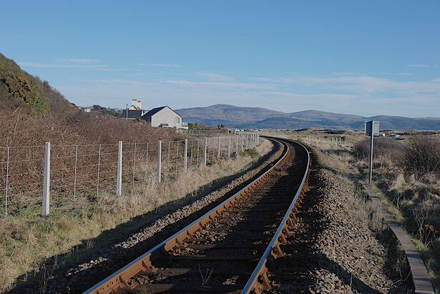
Allt Goch is a stunning region located in Merionethshire, Wales, known for its picturesque downs and moorland. Spanning approximately 2000 acres, this area offers breathtaking views and diverse natural landscapes.
The downs of Allt Goch are characterized by rolling hills covered in lush, vibrant green grass. These hills create a stunning panorama, especially when viewed from the vantage points along the walking trails that crisscross the region. The downs are home to a variety of flora and fauna, including wildflowers, heather, and numerous bird species, making it a paradise for nature enthusiasts and birdwatchers.
Adjacent to the downs, Allt Goch boasts expansive moorland that stretches as far as the eye can see. The moorland features vast expanses of open land, covered in heather and grasses. This terrain provides a unique and serene atmosphere, perfect for those seeking an escape from the hustle and bustle of everyday life. The moorland also offers ample opportunities for hiking and exploring, with its network of trails and paths leading visitors through its untamed beauty.
Allt Goch is a haven for outdoor activities such as walking, hiking, and photography. With its stunning downs and moorland, it provides a serene and captivating backdrop for anyone seeking to connect with nature. Whether you are a seasoned hiker or simply looking for a peaceful retreat, Allt Goch in Merionethshire is sure to leave a lasting impression.
If you have any feedback on the listing, please let us know in the comments section below.
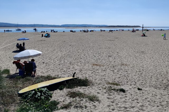
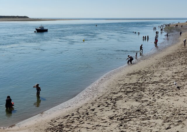
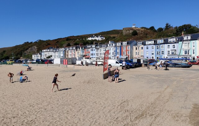
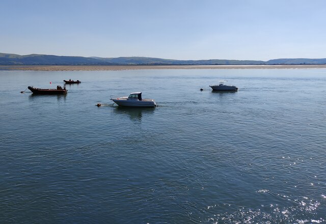
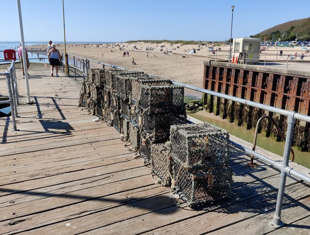
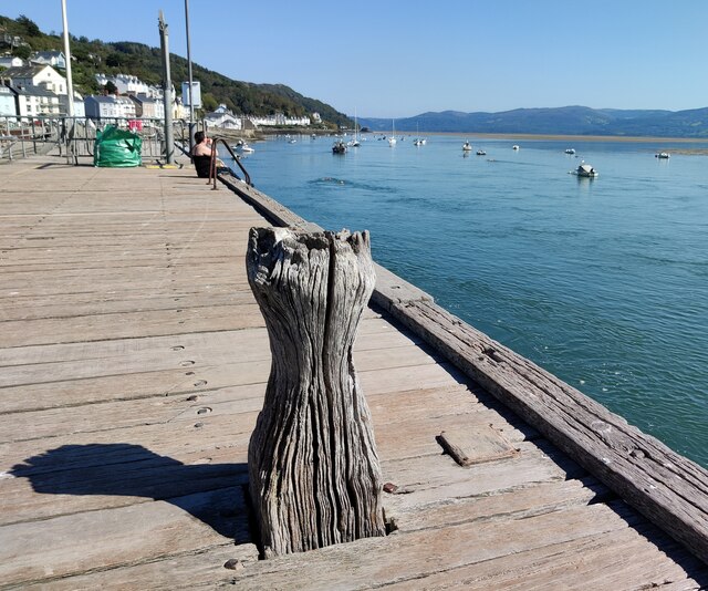
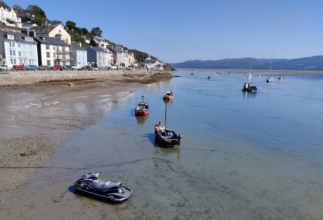
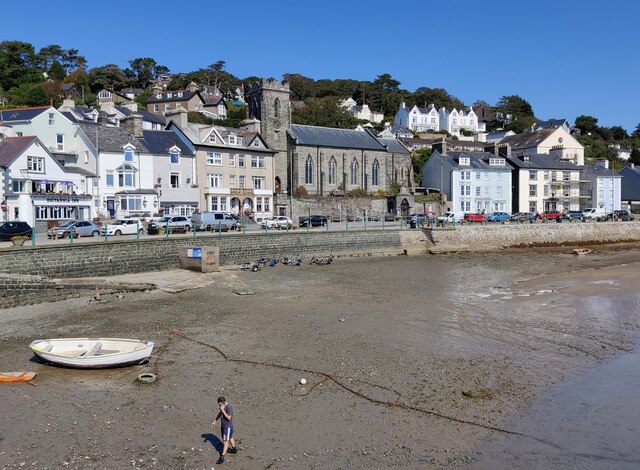
Allt Goch Images
Images are sourced within 2km of 52.550249/-4.0383634 or Grid Reference SN6196. Thanks to Geograph Open Source API. All images are credited.

Allt Goch is located at Grid Ref: SN6196 (Lat: 52.550249, Lng: -4.0383634)
Unitary Authority: Gwynedd
Police Authority: North Wales
What 3 Words
///telephone.storage.longer. Near Tywyn, Gwynedd
Nearby Locations
Related Wikis

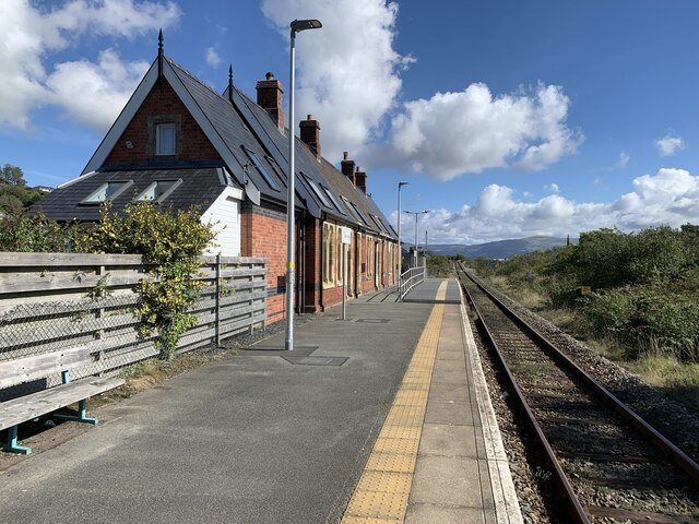
Penhelig railway station
Penhelig railway station (Welsh: Penhelyg) serves the eastern outskirts of the seaside resort of Aberdyfi in Gwynedd, Wales. It was opened by the Great...

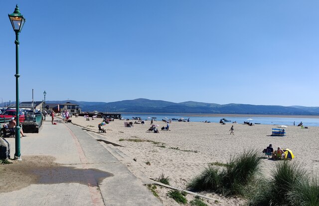
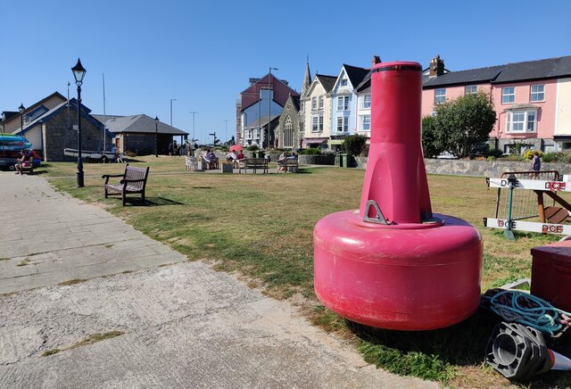
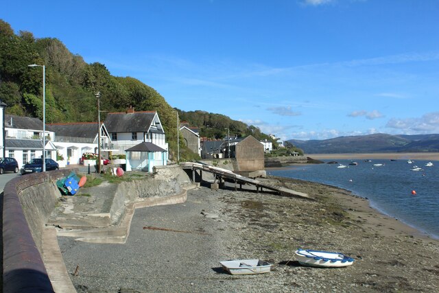
Aberdyfi
Aberdyfi (Welsh pronunciation: [abɛrˈdəvi]), also known as Aberdovey ( a-bər-DUH-vee), is a village and community in Gwynedd, Wales, located on the northern...

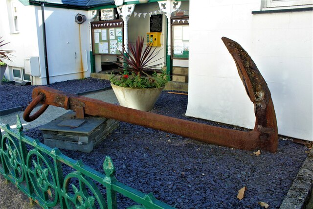
Aberdovey Lifeboat Station
Aberdovey Lifeboat Station (Welsh: Gorsaf Bad Achub Aberdyfi) is an RNLI lifeboat station in the coastal village of Aberdyfi, Gwynedd, West Wales, on the...

Aberdovey railway station
Aberdovey railway station (Welsh: Aberdyfi) serves the seaside resort of Aberdyfi in Gwynedd, Wales. The station is on the Cambrian Coast Railway with...

Hen Dyffryn Gwyn
Hen Dyffryn Gwyn is a Grade II* listed building in Tywyn, Gwynedd. The house has been dated to 1640 and is listed for being a well-preserved example of...
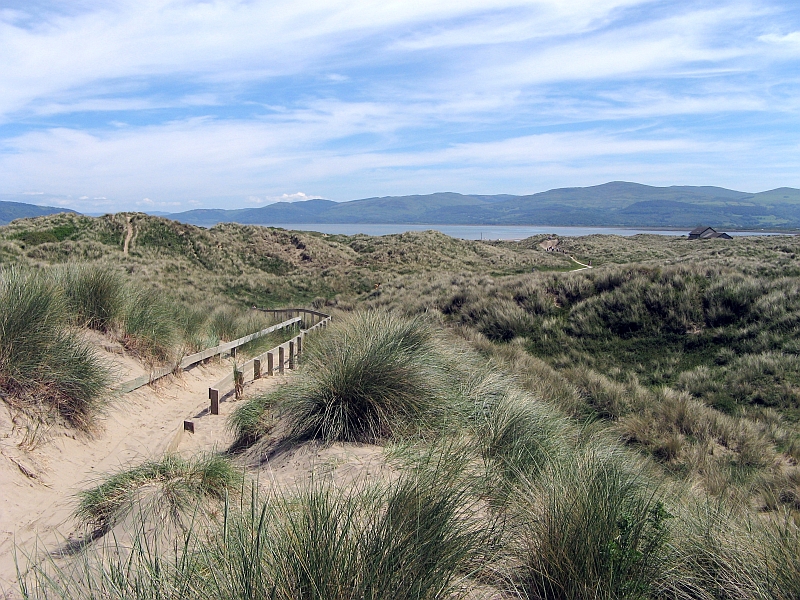
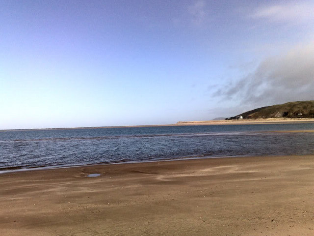
Ynyslas
Ynyslas (Welsh pronunciation: [ənɨ̞s-lɑs], meaning "Blue Island") is a small Welsh village about 1.5 miles north of Borth and 8 miles north of Aberystwyth...
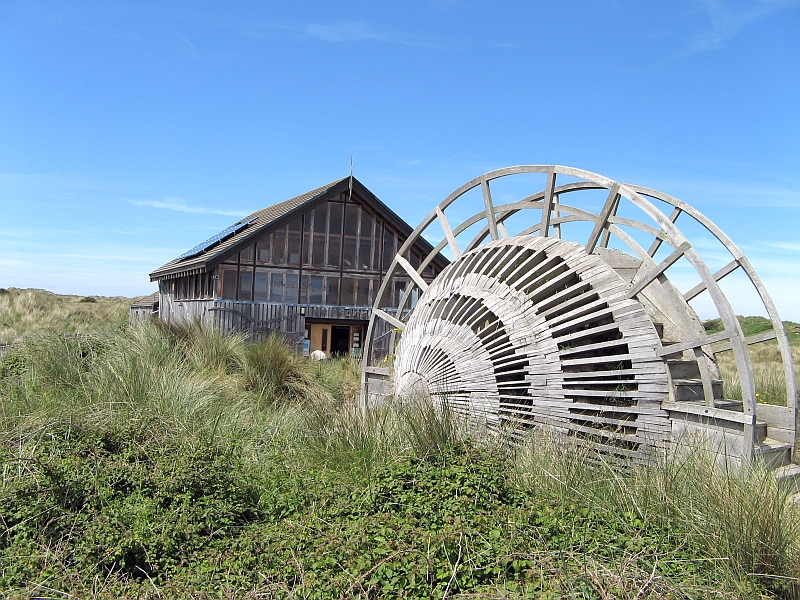
Dyfi National Nature Reserve
The Dyfi National Nature Reserve, managed by Natural Resources Wales, the successor body to the Countryside Council for Wales, is located 7 miles (11 km...

Abertafol railway station
Abertafol railway station was a halt located on the north shore of the Dyfi estuary in the old Welsh county of Merionethshire (south Gwynedd). == History... ==
Nearby Amenities
Located within 500m of 52.550249,-4.0383634Have you been to Allt Goch?
Leave your review of Allt Goch below (or comments, questions and feedback).