Butcher's Moors
Downs, Moorland in Devon West Devon
England
Butcher's Moors
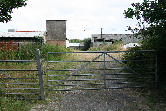
Butcher's Moors, located in Devon, England, is a stunning expanse of downs and moorland that stretches across a vast area. It is renowned for its natural beauty, diverse wildlife, and rich cultural history.
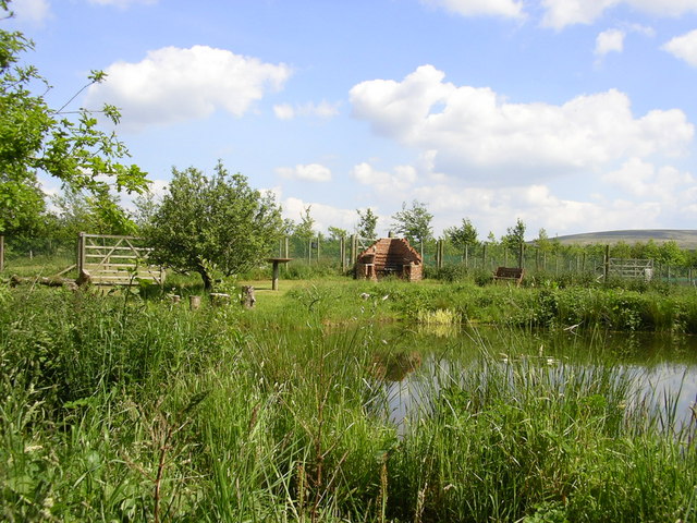
The moors are characterized by rolling hills, expansive grasslands, and heather-covered moorlands, creating a picturesque landscape. The area is home to a variety of flora and fauna, including wild ponies, sheep, and numerous bird species. The moors are also dotted with ancient stone circles, burial mounds, and other archaeological sites, providing a glimpse into the region's past.
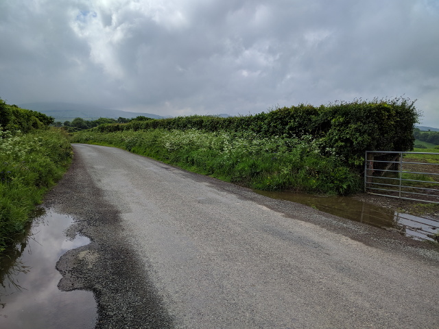
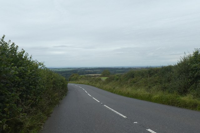
Butcher's Moors is a popular destination for outdoor enthusiasts, with its network of walking trails and paths that allow visitors to explore the area's natural wonders. The moors offer breathtaking panoramic views, making it a perfect spot for hiking, picnicking, and photography.
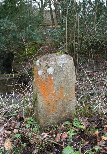
The moors have a rich cultural heritage, with evidence of human habitation dating back thousands of years. The area has been inhabited since the Neolithic period, and artifacts and structures from various time periods can be found throughout the landscape. The moors also played a significant role in the medieval period, serving as a hunting ground for nobles and providing resources for local villages.
In summary, Butcher's Moors in Devon is a captivating blend of natural beauty, wildlife, and historical significance. Whether one is seeking outdoor adventure or a peaceful retreat, this area offers a truly remarkable experience.
If you have any feedback on the listing, please let us know in the comments section below.
Butcher's Moors Images
Images are sourced within 2km of 50.767205/-3.960045 or Grid Reference SX6198. Thanks to Geograph Open Source API. All images are credited.


Butcher's Moors is located at Grid Ref: SX6198 (Lat: 50.767205, Lng: -3.960045)
Administrative County: Devon
District: West Devon
Police Authority: Devon and Cornwall
What 3 Words
///selling.excuse.bagpipes. Near Okehampton, Devon
Nearby Locations
Related Wikis
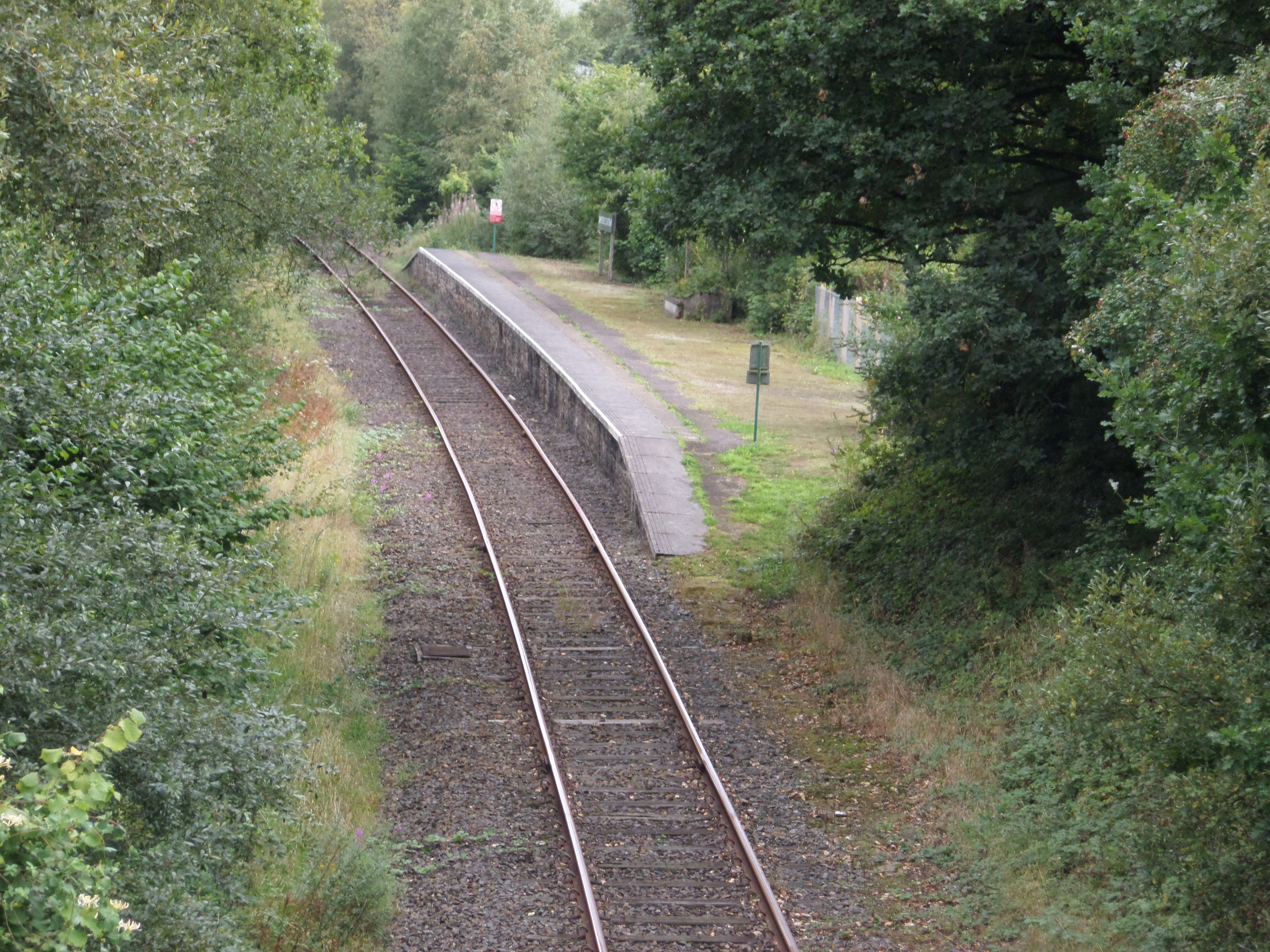
Sampford Courtenay railway station
Sampford Courtenay railway station is a disused railway station at Belstone Corner, which used to serve the nearby (1.6 miles) village of Sampford Courtenay...

Belstone Corner
Belstone Corner is a hamlet in West Devon in the English county of Devon, part of the civil parish of Sampford Courtenay. The Sampford Courtenay railway...

Brightley Priory
Brightley Priory was founded in 1133 as a Cistercian monastery. It was built in 1136 and was situated about two miles north of Okehampton in Devon and...
Stockley, Devon
Stockley is a hamlet on the eastern outskirts of Okehampton, in Devon, England. It lies just north of the A30. == References == The geographic coordinates...

Sampford Courtenay
Sampford Courtenay is a village and civil parish in West Devon in England, most famous for being the place where the Western Rebellion, otherwise known...
Okehampton Hamlets
Okehampton Hamlets is a civil parish in the Borough of West Devon and the English county of Devon, it runs independently from the Okehampton Town Council...
Okehampton Parkway railway station
Okehampton Parkway is a proposed railway station in Okehampton on the Dartmoor Line. The station would be part of the Devon Metro and has been described...

Battle of Sampford Courtenay
The Battle of Sampford Courtenay was one of the chief military engagements in the Western Rebellion of 1549. == Preparations == By mid August 1549, Humphrey...
Nearby Amenities
Located within 500m of 50.767205,-3.960045Have you been to Butcher's Moors?
Leave your review of Butcher's Moors below (or comments, questions and feedback).