Black Park
Downs, Moorland in Ross-shire
Scotland
Black Park
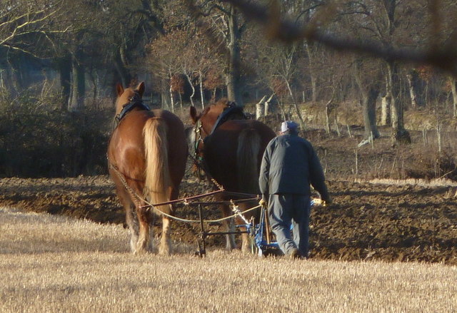
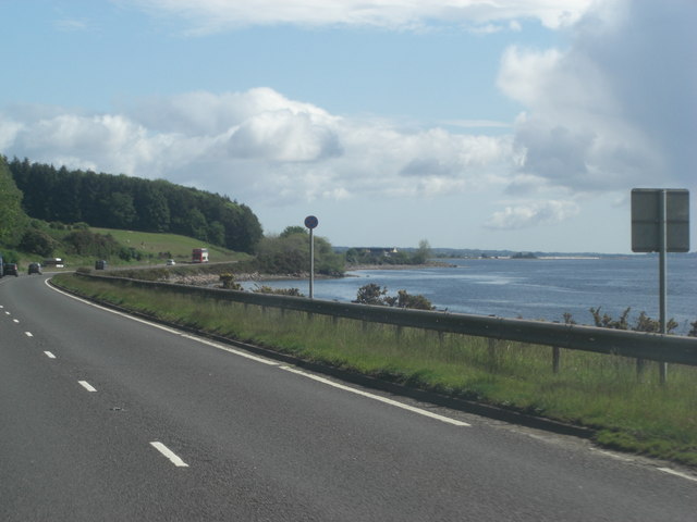
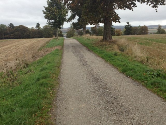
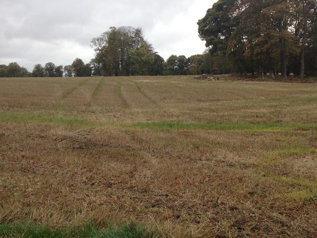
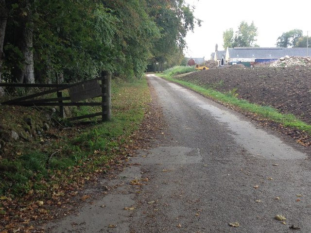
Black Park is a picturesque expanse of land located in Ross-shire, Scotland. Spread across vast downs and moorland, this area covers approximately 200 acres and offers a diverse range of natural beauty. The park is situated near the small village of Blackpark, providing visitors with easy access to its tranquil surroundings.
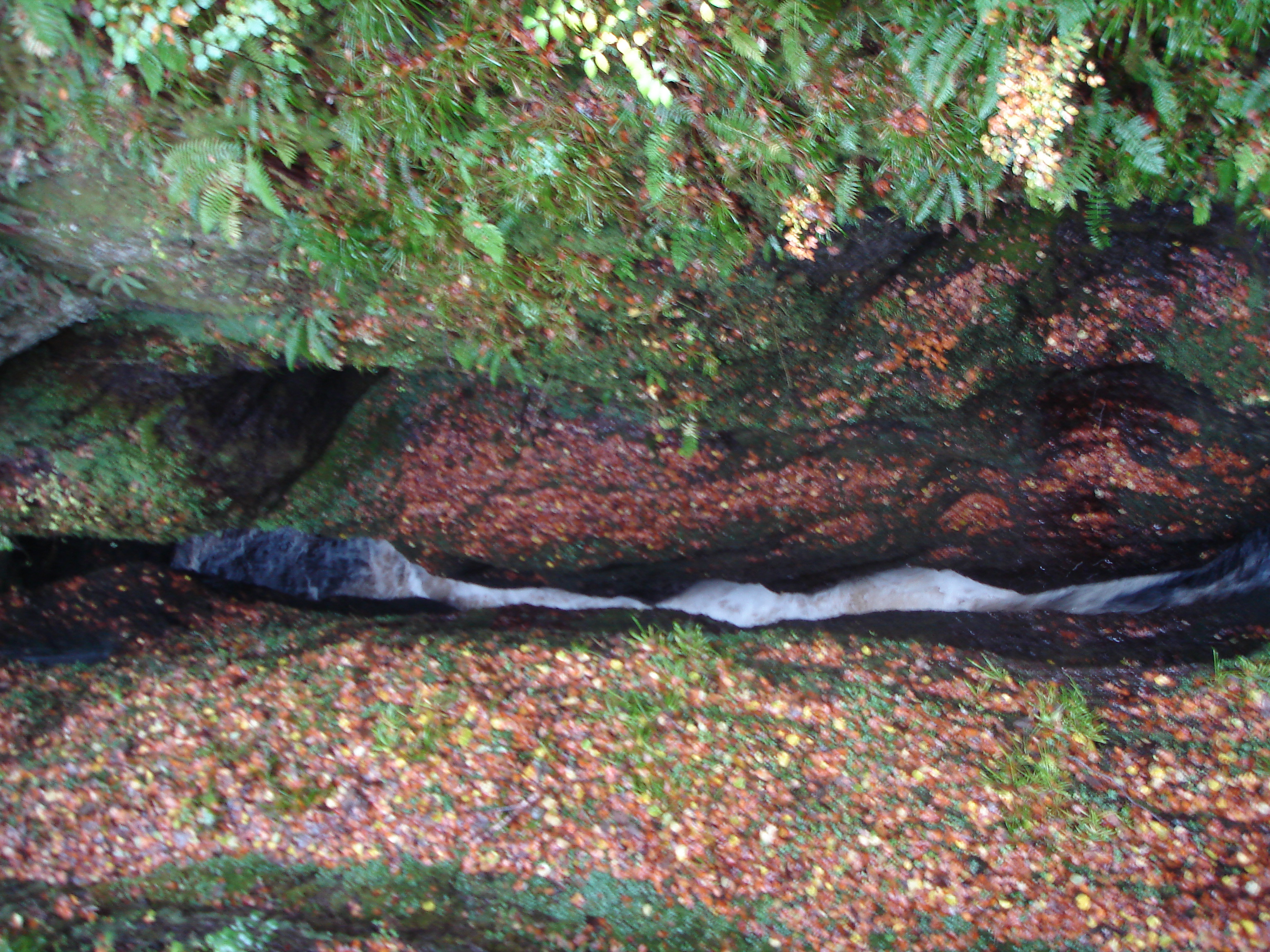
Characterized by rolling hills and open grassy plains, Black Park boasts breathtaking views of its surrounding landscape. The downs are adorned with an array of wildflowers, creating a vibrant and colorful sight during the spring and summer months. The moorland, on the other hand, is covered in heather and gorse, providing a unique and distinct atmosphere.
The park is a haven for nature enthusiasts and offers numerous walking trails that allow visitors to explore the area at their own pace. These pathways wind through the downs and moorland, offering opportunities to spot various bird species, such as skylarks and meadow pipits, as well as other wildlife like rabbits and deer.
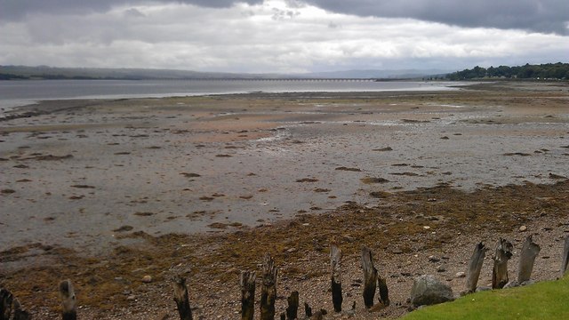
Black Park also features a small loch, which adds to its natural charm. The tranquil waters provide a peaceful setting for visitors to relax and enjoy a picnic or simply take in the serene surroundings.
Overall, Black Park, Ross-shire is a stunning location that showcases the beauty of downs and moorland. Whether it's for a leisurely stroll, birdwatching, or simply to escape the hustle and bustle of everyday life, this area offers a peaceful retreat for all nature lovers.
If you have any feedback on the listing, please let us know in the comments section below.
Black Park Images
Images are sourced within 2km of 57.652165/-4.3609247 or Grid Reference NH5964. Thanks to Geograph Open Source API. All images are credited.


Black Park is located at Grid Ref: NH5964 (Lat: 57.652165, Lng: -4.3609247)
Unitary Authority: Highland
Police Authority: Highlands and Islands
What 3 Words
///alienated.taker.scare. Near Evanton, Highland
Nearby Locations
Related Wikis

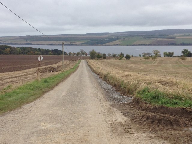
Swordale, Ross-shire
Swordale is a very small village which lies below the hill of the same name and above the River Sgitheach, in the parish of Kiltearn in eastern Ross-shire...

Foulis Castle
Foulis Castle is situated two miles south-west of Evanton in the parish of Kiltearn, Ross and Cromarty, Scotland. It is a white washed mansion that incorporates...

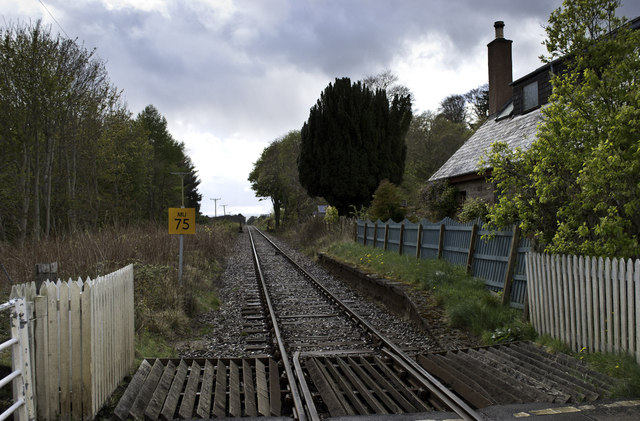
Foulis railway station
Foulis railway station served the village of Ardullie, Highland, Scotland from 1863 to 1964 on the Inverness and Ross-shire Railway. == History == The...
Black Rock Gorge
Black Rock Gorge is a deep and narrow cleft in Old Red Sandstone conglomerate through which the Allt Graad (also known as the 'River Glass') flows in Easter...
Nearby Amenities
Located within 500m of 57.652165,-4.3609247Have you been to Black Park?
Leave your review of Black Park below (or comments, questions and feedback).