Gwenter

Settlement in Cornwall

England

Gwenter

Lichen-covered rock
Lichen-covered rock Credit: Ian Cunliffe

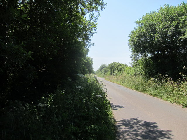
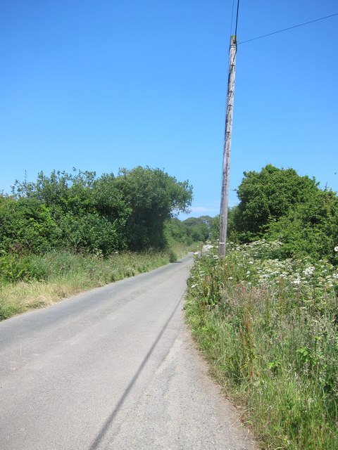
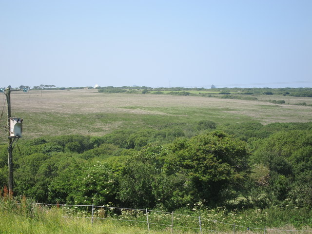
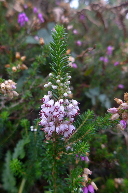
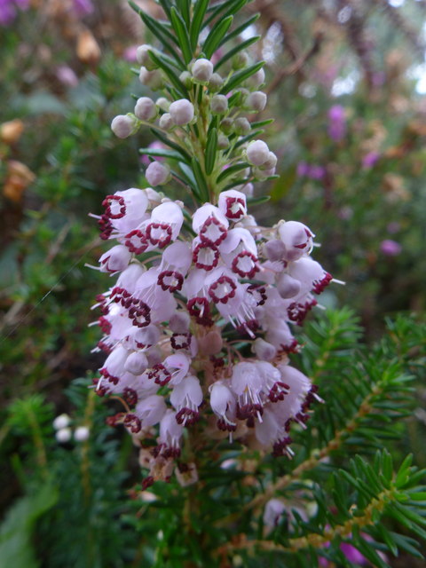
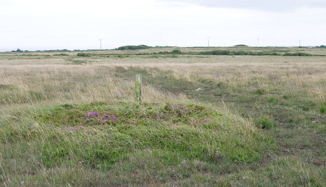
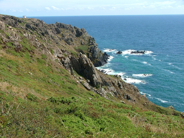
Gwenter is a small coastal village located in Cornwall, a county in the southwestern part of England. Situated on the picturesque Roseland Peninsula, Gwenter is known for its breathtaking natural beauty and charming atmosphere. The village is surrounded by rolling hills, lush green meadows, and stunning coastline, making it an ideal destination for nature lovers and outdoor enthusiasts.

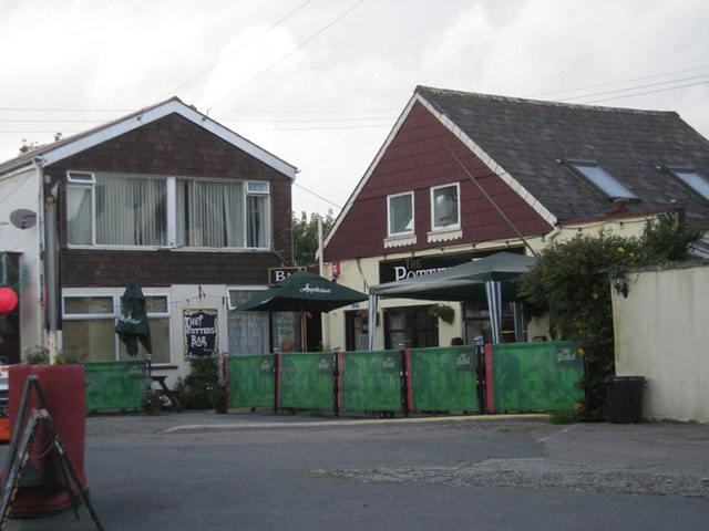
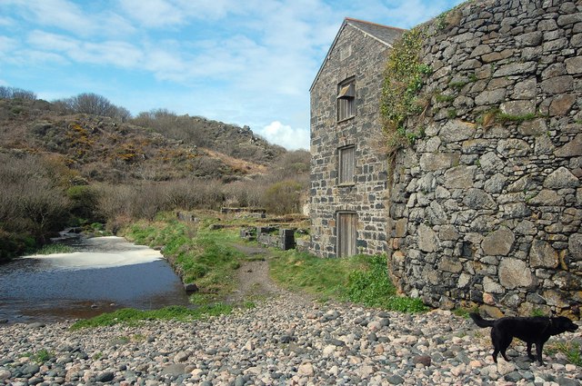
Gwenter is home to a close-knit community of around 500 residents, who take pride in their village's rich history and traditional way of life. The village center features quaint stone cottages and narrow streets, adding to its timeless appeal. The local economy primarily revolves around fishing, tourism, and agriculture, with a few small shops, cafes, and pubs catering to both locals and visitors.

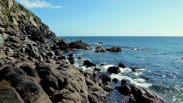
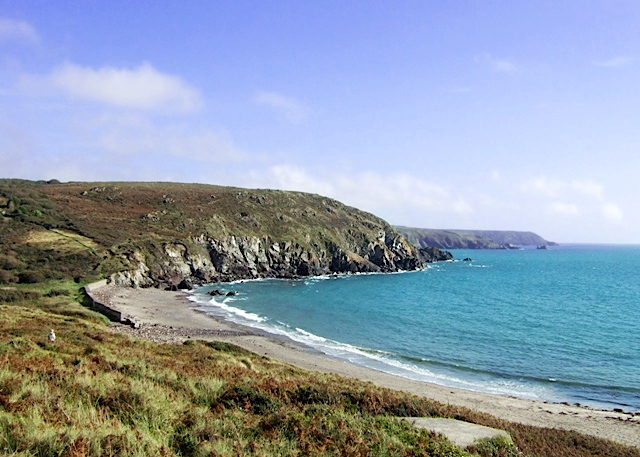
One of the main attractions in Gwenter is its beautiful sandy beach, which offers breathtaking views of the turquoise waters of the English Channel. The beach is perfect for swimming, sunbathing, and leisurely walks along the shoreline. Additionally, the village is a popular destination for water sports enthusiasts, with opportunities for kayaking, paddleboarding, and sailing.

For those interested in history and culture, Gwenter offers several notable landmarks and attractions. The village is home to a historic church, dating back to the 13th century, which is worth a visit for its architectural beauty. Nearby, visitors can explore the remains of an ancient Iron Age hillfort, providing a glimpse into the area's past.

Overall, Gwenter is a charming and idyllic village that offers visitors a peaceful retreat and a chance to experience the natural beauty and rich heritage of Cornwall.

If you have any feedback on the listing, please let us know in the comments section below.

Gwenter Images

Images are sourced within 2km of 50.014806/-5.149074 or Grid Reference SW7417. Thanks to Geograph Open Source API. All images are credited.

Lichen-covered rock
Lichen-covered rock
Carrick Luz
Carrick Luz
Eastern Cliff West of Kennack Sands at approaching high tide (didn't want to go any further into the square!)
Eastern Cliff
West of Kennack Sands at approaching high tide (didn't want to go any further into the square!)
The Caerverracks This rocky section splits the two sections of Kennack Sands.
View south-west towards Lizard Point.
The Caerverracks
This rocky section splits the two sections of Kennack Sands. View south-west towards Lizard Point.
The road to Kennack Sands
A nice day at the beach? Kennack Sands and the lady was waiting for her grandchildren to return.
A nice day at the beach?
Kennack Sands and the lady was waiting for her grandchildren to return.
Pond at Arrowan
Pond at Arrowan
Road heading SW  near Trelan Gate
Road heading SW near Trelan Gate
Road heading NE near Trelan Gate
Footpath & track from Trelan Gate to Little Treleaver
Hay meadow South of the road to Gwenter
The road to Gwenter
The road to Gwenter
A rock garden (literally) in Gwenter No scale evident but the main rock was probably 3 metres in height.
A rock garden (literally) in Gwenter
No scale evident but the main rock was probably 3 metres in height.
Start of footpath to Kennack Sands Not easily located and it is routed through two private gardens.
Start of footpath to Kennack Sands
Not easily located and it is routed through two private gardens.
Footpath from Gwenter to Lower Treland
A narrow wooded valley on the edge of Goonhilly  Downs and the Lizard Nature Reserve In the far distance you can just make out the white dishes of the satellite ground station on Goonhilly downs.
A narrow wooded valley on the edge of Goonhilly Downs and the Lizard Nature Reserve
In the far distance you can just make out the white dishes of the satellite ground station on Goonhilly downs.
Cornish heath near Kennack Sands The Lizard peninsula is the only place in Great Britain, where Erica vagans (Cornish heath, wandering heath) can be found.

Image <a href="https://www.geograph.org.uk/photo/4299573">SW7416 : Cornish heath near Kennack Sands</a> shows a close-up.
Cornish heath near Kennack Sands
The Lizard peninsula is the only place in Great Britain, where Erica vagans (Cornish heath, wandering heath) can be found. Image SW7416 : Cornish heath near Kennack Sands shows a close-up.
Cornish heath near Kennack Sands The Lizard peninsula is the only place in Great Britain, where Erica vagans (Cornish heath, wandering heath) can be found.

See <a href="https://www.geograph.org.uk/photo/4299559">SW7416 : Cornish heath near Kennack Sands</a> for an overall view.
Cornish heath near Kennack Sands
The Lizard peninsula is the only place in Great Britain, where Erica vagans (Cornish heath, wandering heath) can be found. See SW7416 : Cornish heath near Kennack Sands for an overall view.
Show me another place!

Gwenter is located at Grid Ref: SW7417 (Lat: 50.014806, Lng: -5.149074)

Unitary Authority: Cornwall

Police Authority: Devon and Cornwall

What 3 Words

///increment.wiggling.ethic. Near Landewednack, Cornwall

Nearby Locations

Gwenter

Related Wikis

Gwenter

Gwenter (Cornish: Gwynstir) is a hamlet in the parish of St Keverne (where the 2011 census population was included), Cornwall, England.Gwenter lies within...

Trelan

Trelan (Cornish: Trelann) is a hamlet in the parish of St Keverne in Cornwall, England, United Kingdom, on the eastern borders of Goonhilly Downs.Trelan...

Kennack Sands

Kennack Sands is a beach and sand-dune system on the east coast of the Lizard Peninsula, Cornwall, England, UK. == Geography == The beach is approximately...

Kennack to Coverack

Kennack to Coverack is a coastal Site of Special Scientific Interest (SSSI) on the Lizard Peninsula in Cornwall, England, UK, noted for both its biological...

Kuggar

Kuggar (Cornish: Koger) is a hamlet in the parish of Grade-Ruan in Cornwall, England. Kuggar, within the Cornwall Area of Outstanding Natural Beauty (AONB...

Zoar, Cornwall

Zoar (Cornish: Zoara) is a hamlet on the Lizard Peninsula in south Cornwall, England, UK. It is situated 1+1⁄2 miles (2.4 km) northwest of the coastal...

Poltesco

Poltesco is a hamlet and valley in the parish of Grade-Ruan, on the Lizard Peninsula, Cornwall, UK. The lower part of the valley is owned by the National...

Three Brothers of Grugith

The Three Brothers of Grugith (Cornish: An Tri Broder a Grugwydh) is a prehistoric site, a dolmen of the Neolithic Age, near St Keverne in Cornwall, England...

Nearby Amenities

Located within 500m of 50.014806,-5.149074
Barrier: stile
Lat/Long: 50.0140408/-5.1502748
Direction: SE
Generator Method: photovoltaic
Generator Output Electricity: small_installation
Generator Source: solar
Generator Type: solar_photovoltaic_panel
Location: roof
Power: generator
Source: bing
Lat/Long: 50.0152474/-5.1493257
Direction: SE
Generator Method: photovoltaic
Generator Output Electricity: small_installation
Generator Source: solar
Generator Type: solar_photovoltaic_panel
Location: roof
Power: generator
Source: bing
Lat/Long: 50.0167636/-5.1482903
Power: pole
Lat/Long: 50.0181532/-5.151979
Power: pole
Lat/Long: 50.0174483/-5.1517484
Power: pole
Lat/Long: 50.0166158/-5.1514506
Power: pole
Lat/Long: 50.0154352/-5.150013
Power: pole
Lat/Long: 50.0160178/-5.1499727
Power: pole
Lat/Long: 50.017126/-5.1433423
Power: pole
Lat/Long: 50.0169829/-5.1447102
Power: pole
Lat/Long: 50.0165796/-5.1459655
Power: pole
Lat/Long: 50.0161729/-5.1472288
Power: pole
Lat/Long: 50.0161919/-5.14824
Material: wood
Power: pole
Lat/Long: 50.0166675/-5.148873
Power: pole
Lat/Long: 50.0166072/-5.1501015
Power: pole
Lat/Long: 50.01654/-5.1514453
Power: pole
Lat/Long: 50.0164831/-5.1529232
Power: pole
Lat/Long: 50.016428/-5.1541328
Power: pole
Lat/Long: 50.0163642/-5.1555839
Direction: SE
Generator Method: photovoltaic
Generator Output Electricity: small_installation
Generator Source: solar
Generator Type: solar_photovoltaic_panel
Location: roof
Power: generator
Source: bing
Lat/Long: 50.016789/-5.147713
Barrier: stile
Lat/Long: 50.0137946/-5.1510504
The data included in this document is from www.openstreetmap.org. The data is made available under ODbL.

Have you been to Gwenter?

Leave your review of Gwenter below (or comments, questions and feedback).