Burn Wood
Downs, Moorland in Ayrshire
Scotland
Burn Wood

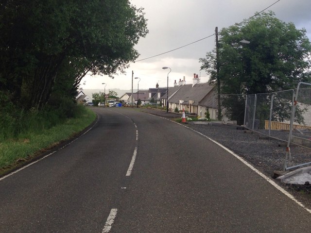
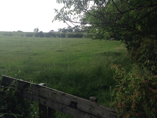
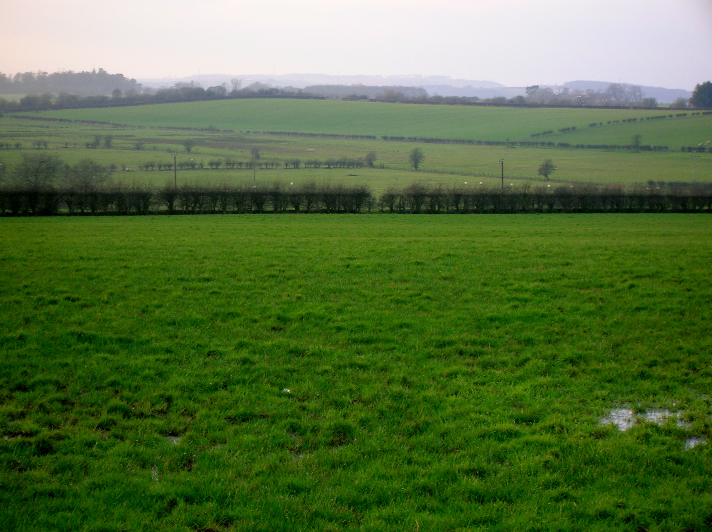
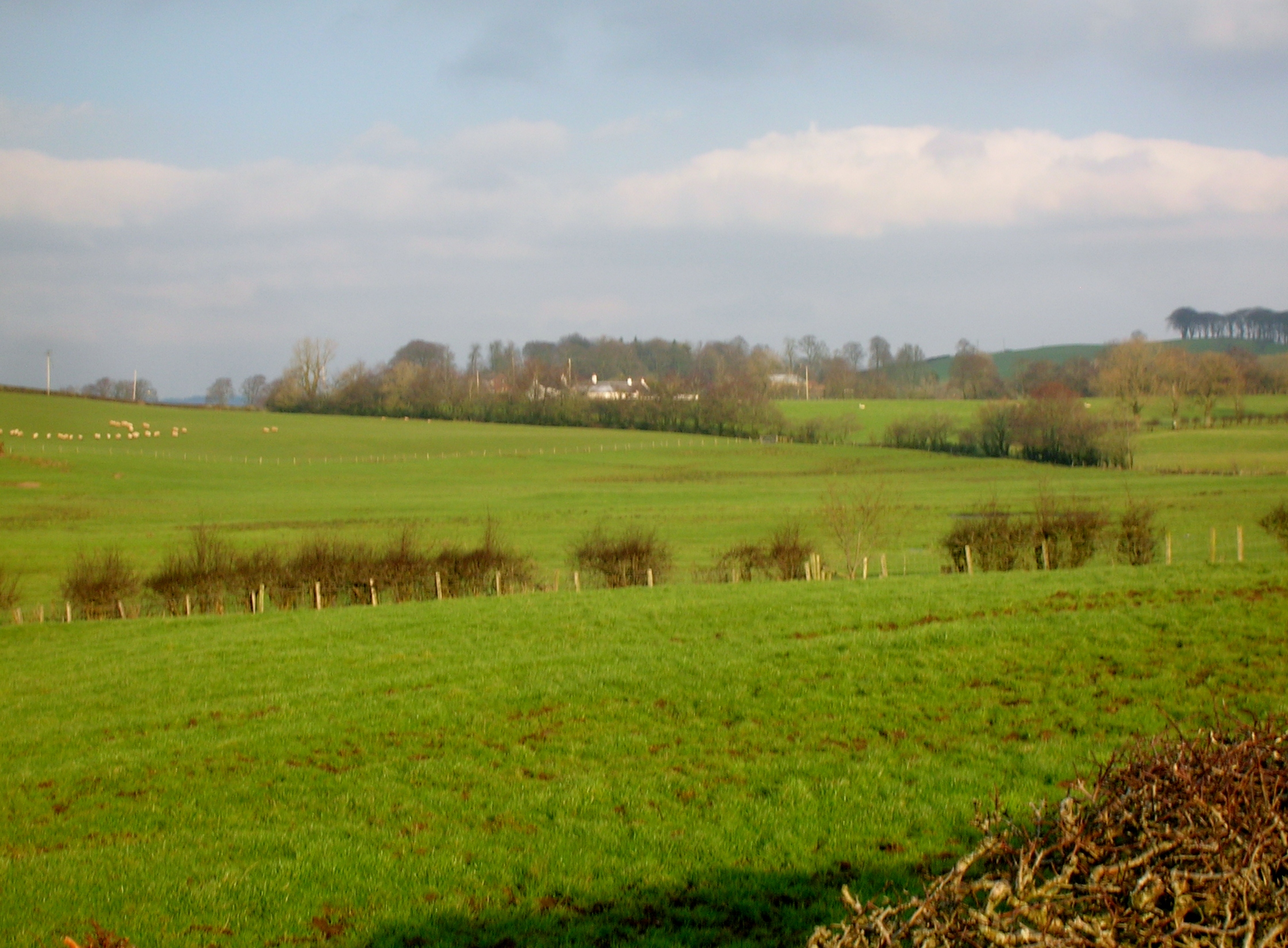
Burn Wood is a picturesque area located in Ayrshire, Scotland, known for its stunning natural beauty and diverse ecosystem. Situated on the edge of the Scottish Highlands, it spans a vast expanse of downs and moorland, covering an area of approximately 200 acres.
The wood is named after the small stream that runs through it, known as the Burn, adding to the tranquility and charm of the surroundings. The area is characterized by a mixture of dense woodlands, open grassy downs, and heather-covered moorlands, creating a rich and varied landscape.
The wood is home to a wide range of plant and animal species, making it a haven for nature enthusiasts. It boasts a diverse collection of trees such as oak, birch, and pine, providing a habitat for numerous bird species including woodpeckers, owls, and various songbirds. Visitors may also encounter red squirrels, badgers, and roe deer as they explore the wood.
Trails and pathways wind their way through the wood, offering visitors the opportunity to immerse themselves in the beauty of the natural surroundings. These paths provide access to panoramic viewpoints and hidden gems, allowing visitors to appreciate the stunning vistas and the peaceful ambiance of the wood.
Burn Wood is a popular destination for outdoor activities such as hiking, birdwatching, and photography. Its natural beauty, diverse ecosystems, and tranquil atmosphere make it a truly enchanting place for both locals and tourists to visit and connect with nature.
If you have any feedback on the listing, please let us know in the comments section below.
Burn Wood Images
Images are sourced within 2km of 55.572957/-4.35794 or Grid Reference NS5133. Thanks to Geograph Open Source API. All images are credited.


Burn Wood is located at Grid Ref: NS5133 (Lat: 55.572957, Lng: -4.35794)
Unitary Authority: East Ayrshire
Police Authority: Ayrshire
What 3 Words
///handrail.flexed.scans. Near Galston, East Ayrshire
Nearby Locations
Related Wikis
Bruntwood Loch
Bruntwood Loch (NS 50265 32454) was a freshwater loch, now drained, lying in a glacial kettle hole in Galston, East Ayrshire, Scotland. == The loch... ==
Whitehill Loch
Whitehill Loch (NS 49240 33240), previously known as Hillhouse Loch was a freshwater loch in the East Ayrshire Council Area, now drained, near Galston...

Cessnock Castle
Cessnock Castle is a 15th-century keep greatly enlarged into a baronial mansion, about 1 mile (1.6 km) south east of Galston, East Ayrshire, Scotland,...
Galston parish
Galston Parish is situated in East Ayrshire, Scotland, some five to ten miles east of Kilmarnock and roughly encompasses the southern half of the Upper...
Nearby Amenities
Located within 500m of 55.572957,-4.35794Have you been to Burn Wood?
Leave your review of Burn Wood below (or comments, questions and feedback).