Mearns Muir
Downs, Moorland in Renfrewshire
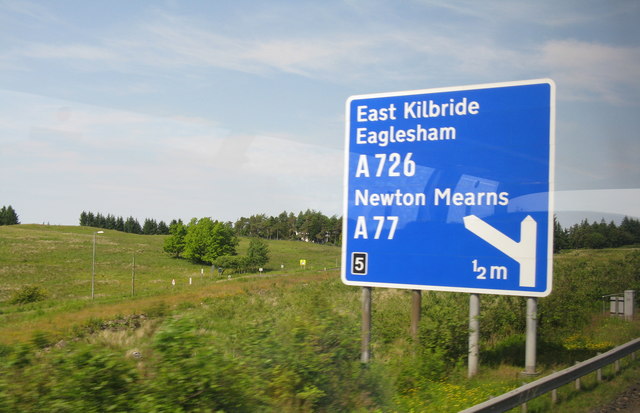
Scotland
Mearns Muir
Mearns Muir is a beautiful area located in Renfrewshire, Scotland. It is known for its picturesque downs and moorland landscapes, offering visitors a tranquil and scenic escape from the bustling city life.
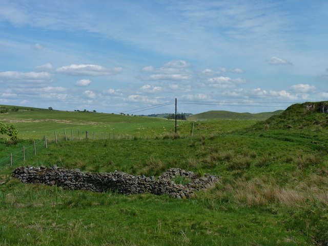
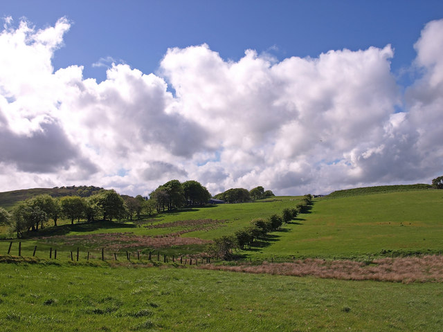
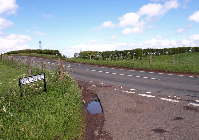
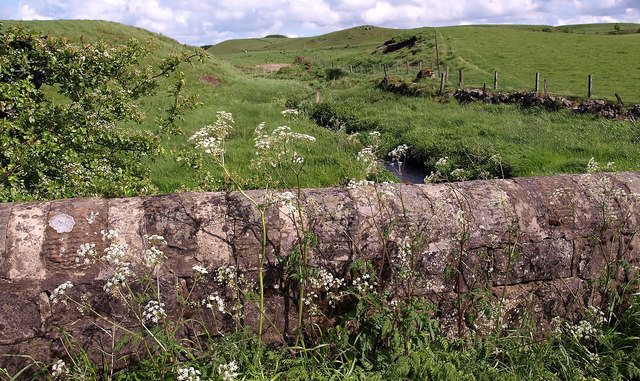
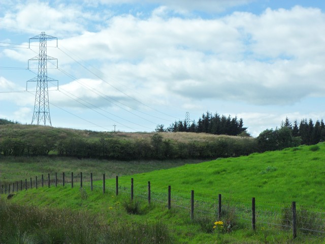
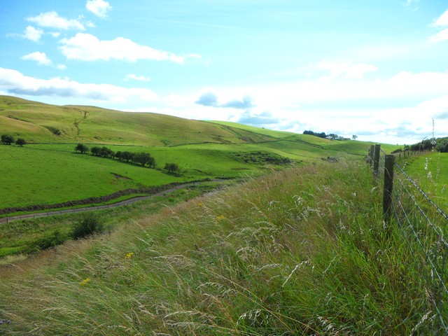
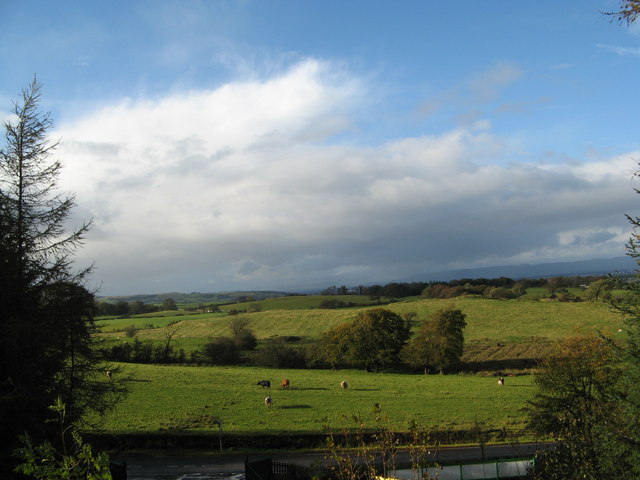
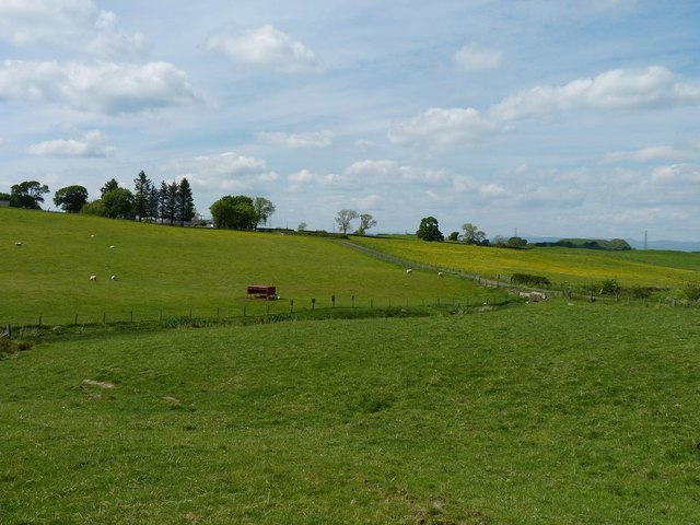
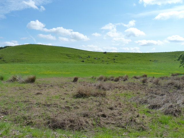
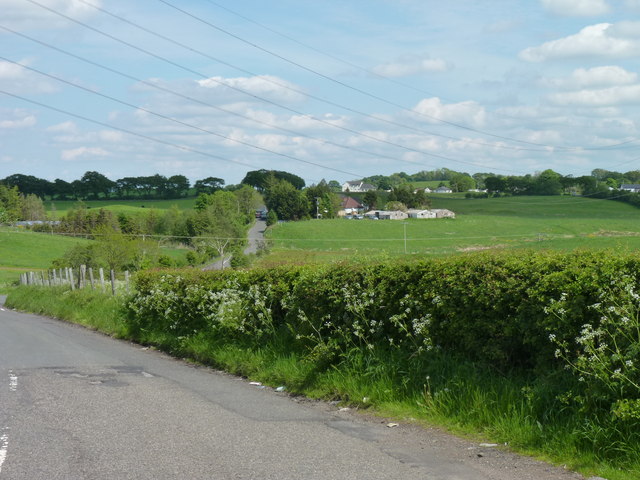
The downs of Mearns Muir are characterized by rolling hills and vast open spaces, covered in lush green grass and dotted with grazing livestock. The undulating terrain provides stunning panoramic views of the surrounding countryside, making it a popular spot for hikers and nature enthusiasts. The downs are also home to a variety of plant and animal species, adding to the area's ecological significance.
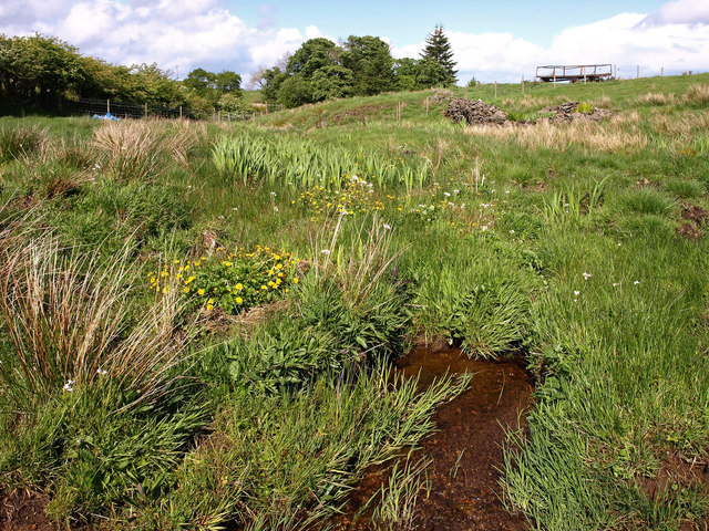
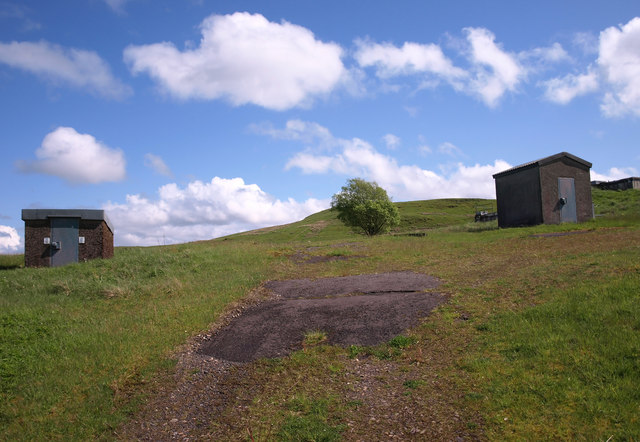
Adjacent to the downs, the moorland of Mearns Muir offers a distinct landscape with its heather-covered hills and peat bogs. This unique habitat attracts a range of bird species, including the rare and protected black grouse. The moorland is also known for its rich history, with remnants of ancient settlements and burial sites scattered throughout.
Mearns Muir is a haven for outdoor activities, such as walking, cycling, and birdwatching. The well-maintained trails and paths make it easy for visitors to explore the area and discover its hidden gems. Additionally, the moorland provides opportunities for nature photography and landscape painting, with its ever-changing colors and textures.
Overall, Mearns Muir is a cherished natural treasure in Renfrewshire, offering a peaceful escape and a chance to connect with the beauty of the Scottish countryside.
If you have any feedback on the listing, please let us know in the comments section below.
Mearns Muir Images
Images are sourced within 2km of 55.749633/-4.3686874 or Grid Reference NS5153. Thanks to Geograph Open Source API. All images are credited.

Mearns Muir is located at Grid Ref: NS5153 (Lat: 55.749633, Lng: -4.3686874)
Unitary Authority: East Renfrewshire
Police Authority: Greater Glasgow
What 3 Words
///sprinkler.lingering.spray. Near Newton Mearns, East Renfrewshire
Nearby Locations
Related Wikis

Netherplace
Netherplace is a hamlet in East Renfrewshire. It is to the west of Newton Mearns, and adjacent to the M77 motorway. The settlement is almost entirely along...

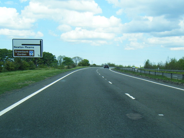
Newton Mearns
Newton Mearns (Scots: The Mearns; Scottish Gaelic: Baile Ùr na Maoirne [ˈpalə ˈuːɾ nə ˈmɯːrˠɲə]) is a suburban town and the largest settlement in East...
Whitecraigs RFC
Whitecraigs Rugby Football Club is a rugby union club based in Newton Mearns, East Renfrewshire, Scotland. The team competes in Scottish National League...
Glasgow Reform Synagogue
Glasgow Reform Synagogue is a synagogue in Newton Mearns, East Renfrewshire, Scotland. It is a member of the Movement for Reform Judaism and is the only...

Pollock Castle
Pollock Castle, also known as Pollok Castle, was a tower house castle located to the west of modern Newton Mearns in East Renfrewshire, on the opposite...
Mearns Castle High School
Mearns Castle High School is a secondary school situated on Waterfoot Road in Newton Mearns, East Renfrewshire, Scotland roughly seven miles from Glasgow...

Neilston Pad
Neilston Pad, referred to locally as The Pad, is a distinctive hill in East Renfrewshire, situated a mile (1.5 km) south of the village of Neilston. Its...
Balgray railway station
Balgray railway station is a proposed railway station that will serve communities to the south of Barrhead (particularly Springhall and Auchinback) on...
Nearby Amenities
Located within 500m of 55.749633,-4.3686874Have you been to Mearns Muir?
Leave your review of Mearns Muir below (or comments, questions and feedback).