Graddon Moor

Downs, Moorland in Devon Torridge

England

Graddon Moor

Trees signalling the end of winter by A3072 Passing Hope House, two trees appear bare, the third is turning green
Trees signalling the end of winter by A3072 Credit: David Smith

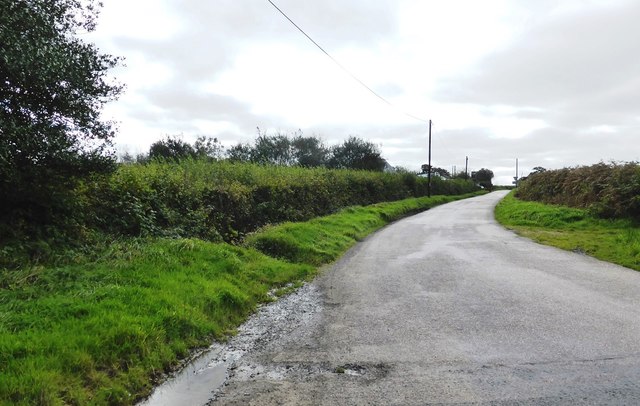
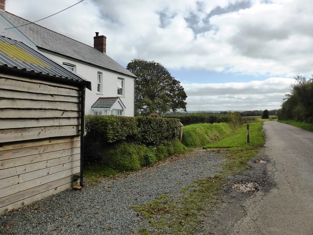
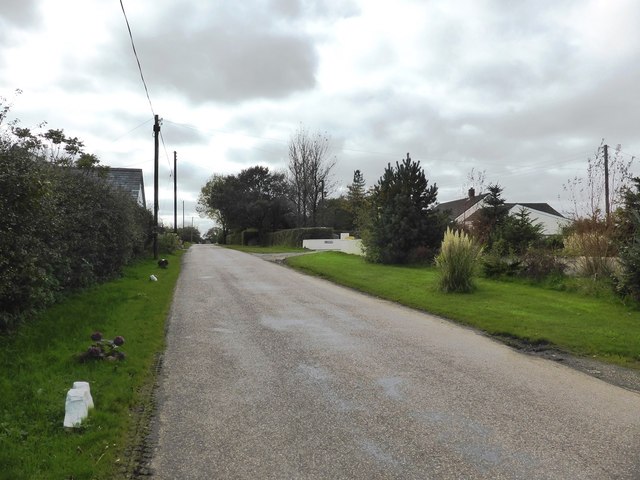
Graddon Moor is a vast expanse of moorland situated in Devon, England. Covering an area of approximately 800 acres, this remote and rugged landscape is characterized by rolling hills, heather-covered slopes, and scattered patches of gorse and bracken. The moor is located within Dartmoor National Park, a designated area of outstanding natural beauty known for its stunning scenery and rich biodiversity.

Graddon Moor is home to a variety of wildlife, including native species such as red deer, ponies, and birds of prey. The moorland is also dotted with a number of ancient archaeological sites, such as burial mounds, stone circles, and abandoned settlements, providing a glimpse into the area's long history of human habitation.

Visitors to Graddon Moor can enjoy a range of outdoor activities, including hiking, birdwatching, and photography. The moor is crisscrossed by a network of footpaths and bridleways, allowing for exploration of its wild and untamed beauty. With its peaceful atmosphere and stunning views, Graddon Moor is a popular destination for nature lovers and outdoor enthusiasts seeking a taste of the Devonshire countryside.

If you have any feedback on the listing, please let us know in the comments section below.
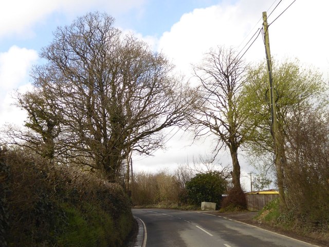
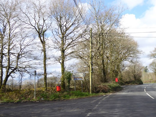
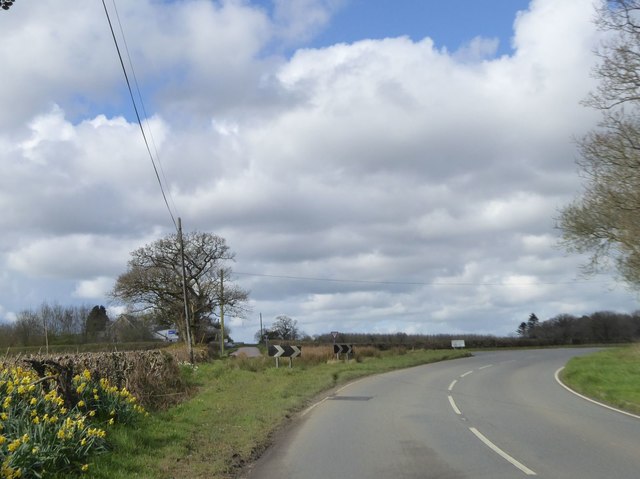
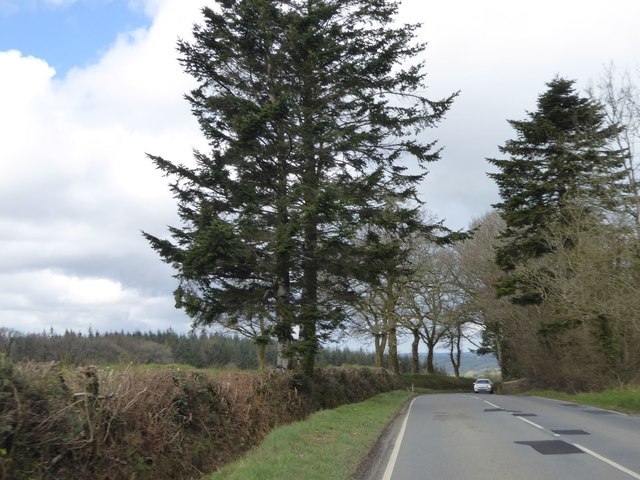
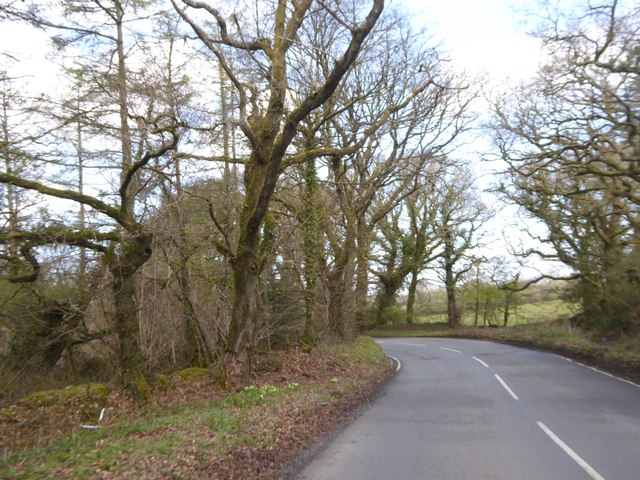
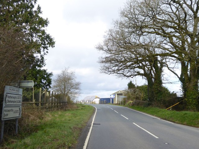
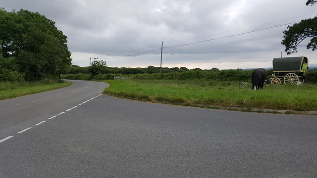
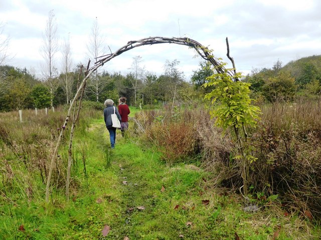
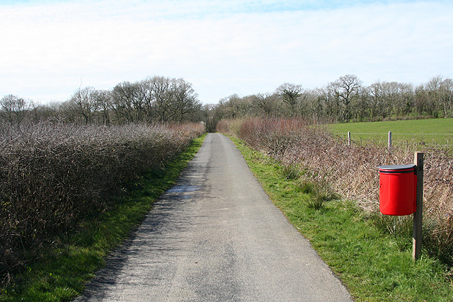
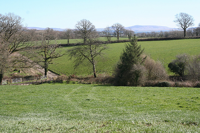
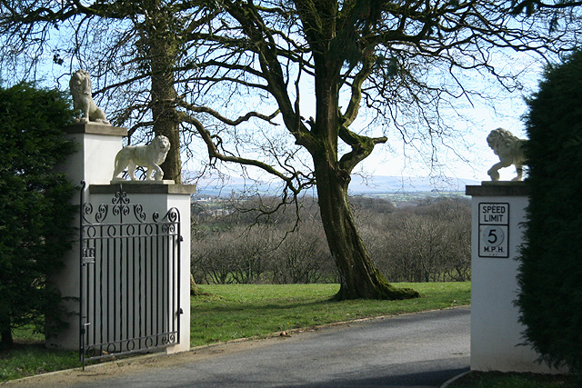
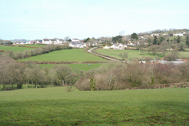
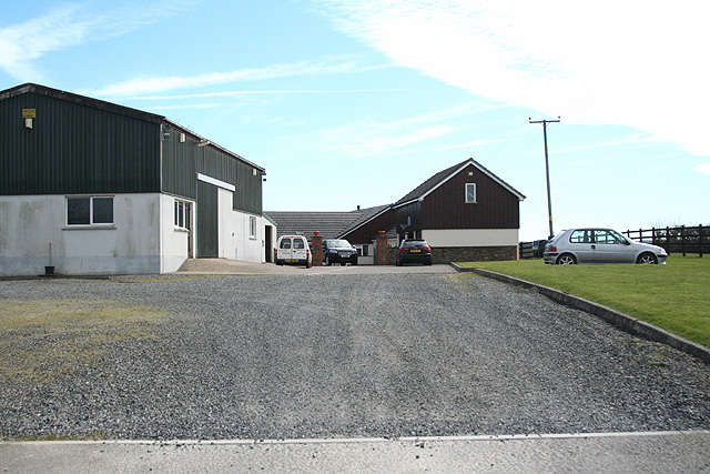
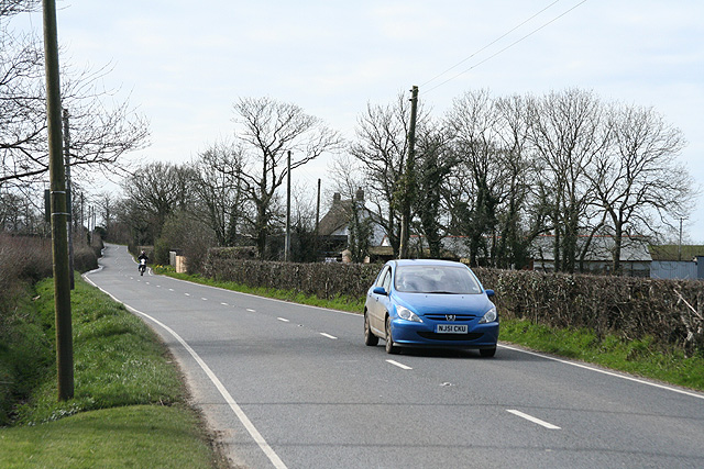
Graddon Moor Images

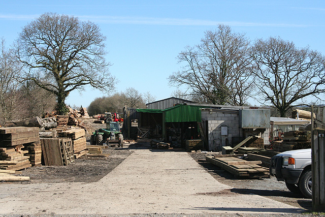
Images are sourced within 2km of 50.806167/-4.1812646 or Grid Reference SS4603. Thanks to Geograph Open Source API. All images are credited.

Trees signalling the end of winter by A3072 Passing Hope House, two trees appear bare, the third is turning green
Trees signalling the end of winter by A3072
Passing Hope House, two trees appear bare, the third is turning green
Two splashes of red at Windmilland Cross On the left, a dog poo bin is at the end of a track to a small campsite at the site of the railway station at Hole; the postbox beyond serves that site and surrounding farms
Two splashes of red at Windmilland Cross
On the left, a dog poo bin is at the end of a track to a small campsite at the site of the railway station at Hole; the postbox beyond serves that site and surrounding farms
Beara Cross A road junction which has been realigned for safety.  Formerly, the road ahead ran in a straight line from the main road, but now joining traffic is forced to slow down or stop
Beara Cross
A road junction which has been realigned for safety. Formerly, the road ahead ran in a straight line from the main road, but now joining traffic is forced to slow down or stop
Evergreen trees by A3072 near Beara Court The gateway to the Beara Court grounds is by the tall tree on the right; presumably these were trees planted to enhance the land of the Court
Evergreen trees by A3072 near Beara Court
The gateway to the Beara Court grounds is by the tall tree on the right; presumably these were trees planted to enhance the land of the Court
A3072 passing Park Plantation Park Plantation is bounded to the north and east by the A3072; on the edge of the woodland to the left is a deep ditch, reminder of the moorland that needed to be drained
A3072 passing Park Plantation
Park Plantation is bounded to the north and east by the A3072; on the edge of the woodland to the left is a deep ditch, reminder of the moorland that needed to be drained
Farm buildings at Hillmoor Cross
Torridge : The A3072 At a road junction on the A3072.
Torridge : The A3072
At a road junction on the A3072.
Entrance to Food Forest area at Wishtree Permaculture Centre
Minor road to Halwill at Beara Cross
The road to Halwill at Park View
The road through Chilla
Highampton: sawmill Petrock Timber’s sawmill sits on the course of the North Devon & Cornwall Junction Light Railway. Looking east
Highampton: sawmill
Petrock Timber’s sawmill sits on the course of the North Devon & Cornwall Junction Light Railway. Looking east
Highampton: cycleway On the course of the North Devon & Cornwall Junction Light Railway. Looking west-north-west. The old trackbed now serves as a cycle route from Highampton to Black Torrington, avoiding the A3072 road
Highampton: cycleway
On the course of the North Devon & Cornwall Junction Light Railway. Looking west-north-west. The old trackbed now serves as a cycle route from Highampton to Black Torrington, avoiding the A3072 road
Highampton: by Odham Looking south east towards Stewdon Moor with Dartmoor on the horizon
Highampton: by Odham
Looking south east towards Stewdon Moor with Dartmoor on the horizon
Highampton: Burdon Grange The entrance to Burdon Grange with Dartmoor on the horizon. Looking south east
Highampton: Burdon Grange
The entrance to Burdon Grange with Dartmoor on the horizon. Looking south east
Highampton: towards the village The hedge running horizontally across the field below the village indicates the course of the Great Torrington - Halwill Junction Light Railway which has more recently become a cycle track linking Highampton with Black Torrington
Highampton: towards the village
The hedge running horizontally across the field below the village indicates the course of the Great Torrington - Halwill Junction Light Railway which has more recently become a cycle track linking Highampton with Black Torrington
Highampton: Southland Park Looking south by the entrance on the A3072 road. The property adjoins South Trew
Highampton: Southland Park
Looking south by the entrance on the A3072 road. The property adjoins South Trew
Highampton: the A3072 road to Bude The road from Hatherleigh to Holsworthy and Bude a little west of Highampton. Looking west towards North Trew
Highampton: the A3072 road to Bude
The road from Hatherleigh to Holsworthy and Bude a little west of Highampton. Looking west towards North Trew
Show me another place!

Graddon Moor is located at Grid Ref: SS4603 (Lat: 50.806167, Lng: -4.1812646)

Administrative County: Devon

District: Torridge

Police Authority: Devon and Cornwall

What 3 Words

///meatball.woke.mimed. Near Hatherleigh, Devon

Nearby Locations

Graddon Moor

Related Wikis

Hole railway station

Hole Railway Station was a small halt on the North Devon and Cornwall Junction Light Railway in the U.K. between Torrington and Halwill Junction, serving...

Black Torrington

Black Torrington is a village and civil parish in Torridge, Devon, England, situated between the towns of Holsworthy and Hatherleigh. It is located on...

Odham

Odham is a village in Devon, England.

Highampton

Highampton is a parish in Devon spread over approx. 4½ miles. It stands on a ridge with views of Dartmoor and Exmoor. Highampton is about 10 miles from...

Nearby Amenities

Located within 500m of 50.806167,-4.1812646
Power: pole
Lat/Long: 50.8053143/-4.1743407
Power: pole
Lat/Long: 50.8050991/-4.1761753
Power: pole
Lat/Long: 50.8048991/-4.1780421
Power: pole
Lat/Long: 50.8046821/-4.1799438
Power: pole
Lat/Long: 50.8044651/-4.1818965
Power: pole
Lat/Long: 50.8042499/-4.1839027
Power: pole
Lat/Long: 50.8040431/-4.1856301
Power: pole
Lat/Long: 50.8035888/-4.1870517
Addr City: Beaworthy
Addr Housenumber: 11
Addr Place: Hole Station Campsite
Addr Postcode: EX21 5JH
Addr Suburb: Highampton
Lat/Long: 50.8086721/-4.175436
Addr City: Beaworthy
Addr Housenumber: 10
Addr Place: Hole Station Campsite
Addr Postcode: EX21 5JH
Addr Suburb: Highampton
Lat/Long: 50.8084597/-4.1753672
The data included in this document is from www.openstreetmap.org. The data is made available under ODbL.

Have you been to Graddon Moor?

Leave your review of Graddon Moor below (or comments, questions and feedback).