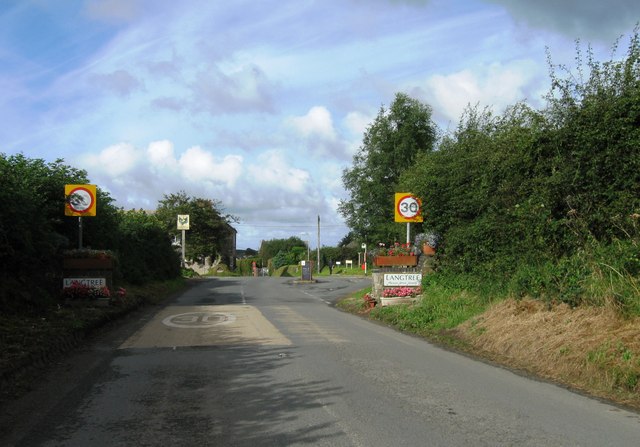
Langtree Common
Downs, Moorland in Devon Torridge
England
Langtree Common
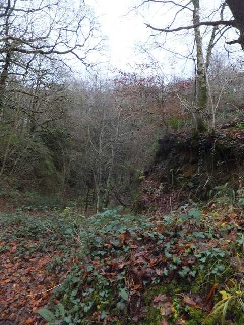
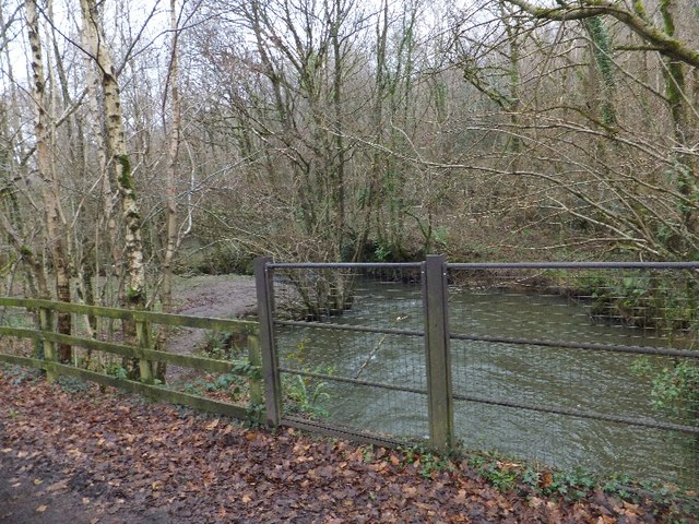
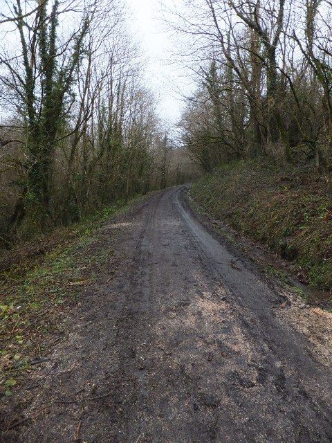
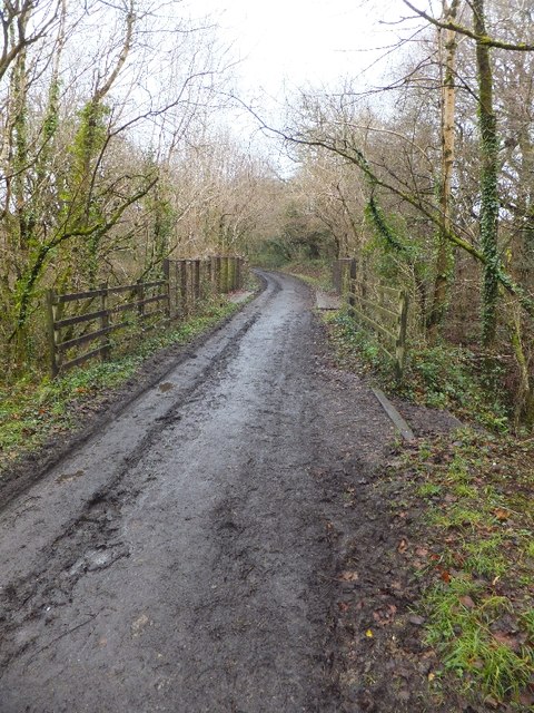
Langtree Common is a picturesque area located in Devon, England. It is characterized by rolling hills, open moorland, and lush green fields. The common is a popular destination for outdoor enthusiasts, offering a variety of walking and hiking trails that provide stunning views of the surrounding countryside.
The landscape of Langtree Common is dotted with small farms and traditional stone cottages, giving visitors a glimpse into the rural way of life in Devon. The area is also home to a diverse range of wildlife, including birds of prey, deer, and various species of wildflowers.
Langtree Common is part of the North Devon Area of Outstanding Natural Beauty, and is managed by the National Trust. The common is a designated Site of Special Scientific Interest, due to its unique ecosystems and habitats.
Visitors to Langtree Common can enjoy picnicking, birdwatching, and photography in this peaceful and tranquil setting. The area is also rich in history, with ancient stone circles and burial mounds scattered throughout the landscape. Overall, Langtree Common is a beautiful and serene destination for nature lovers and outdoor enthusiasts alike.
If you have any feedback on the listing, please let us know in the comments section below.
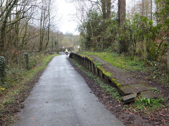
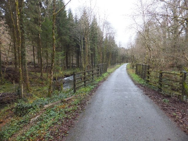
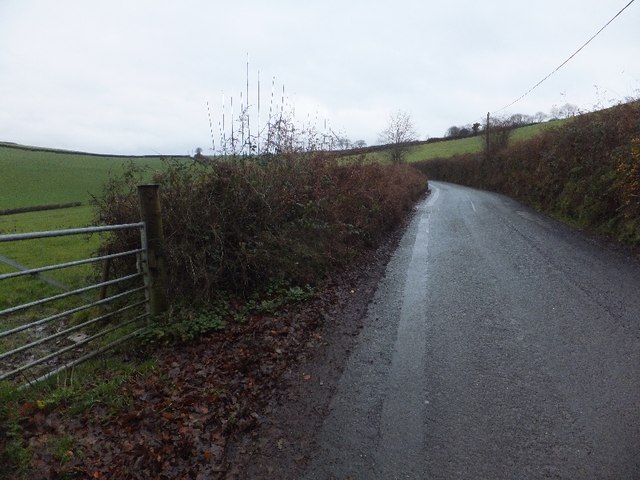
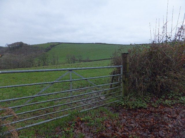
Langtree Common Images
Images are sourced within 2km of 50.924747/-4.1871924 or Grid Reference SS4616. Thanks to Geograph Open Source API. All images are credited.


Langtree Common is located at Grid Ref: SS4616 (Lat: 50.924747, Lng: -4.1871924)
Administrative County: Devon
District: Torridge
Police Authority: Devon and Cornwall
What 3 Words
///allies.merely.necklace. Near Great Torrington, Devon
Nearby Locations
Related Wikis

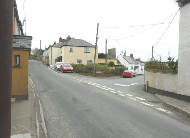
Langtree
Langtree is a village and parish in north Devon, England, situated about 4 miles (6 km) south-west of Great Torrington and 8 miles (13 km) south of Bideford...

Watergate Halt railway station
Watergate Halt was an intermediate halt on the initially privately run North Devon and Cornwall Junction Light Railway. "It was one of those moments...
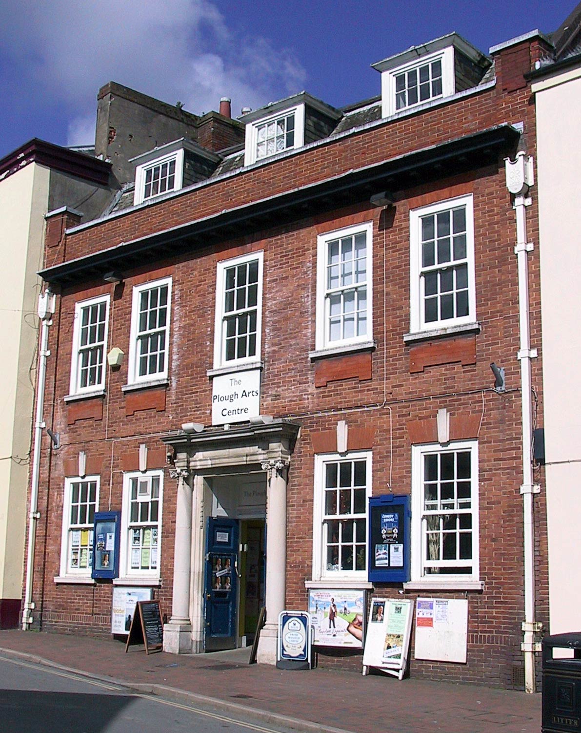
The Plough Arts Centre, Torrington
The Plough Arts Centre is a theatre, cinema and art gallery in Torrington, North Devon, England. The Plough is situated in a former Territorial Army drill...

Frithelstock
Frithelstock (pronounced Frizzlestock) is a village, civil parish and former manor in Devon, England. It is located within Torridge local authority area...
Nearby Amenities
Located within 500m of 50.924747,-4.1871924Have you been to Langtree Common?
Leave your review of Langtree Common below (or comments, questions and feedback).