Rhossili Down

Downs, Moorland in Glamorgan

Wales

Rhossili Down

Cliff cleft  reveals Rhossili Beach The scale of these imposing cliffs can be ascertained by referring to the diminutive figures perched on their top.
Cliff cleft reveals Rhossili Beach Credit: Stuart Logan

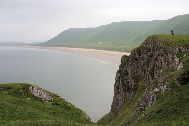
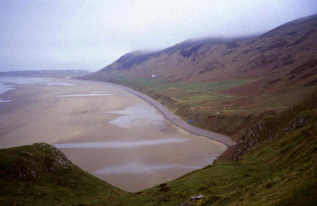
Rhossili Down, located in Glamorgan, is a stunning area of natural beauty characterized by its rolling hills, rugged cliffs, and panoramic views. Covering an expansive area, it is part of the Gower Peninsula, a designated Area of Outstanding Natural Beauty in Wales.

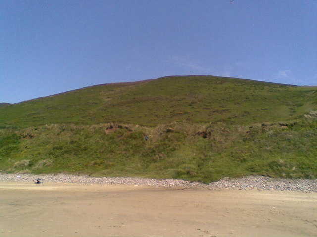
The Down is primarily known for its moorland landscape, which features a diverse range of flora and fauna. It is home to several rare and protected species, including the Chough bird, which has become somewhat of a symbol for the area. The heather-covered slopes provide a vibrant display of purple hues during the summer months, creating a picturesque backdrop against the dramatic coastline.

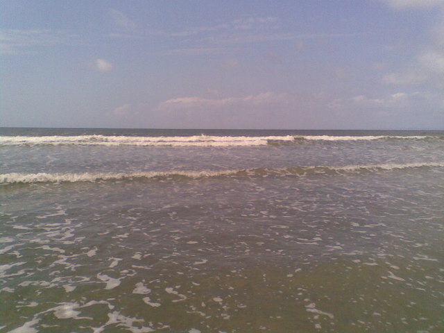
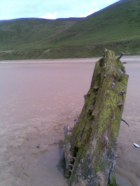
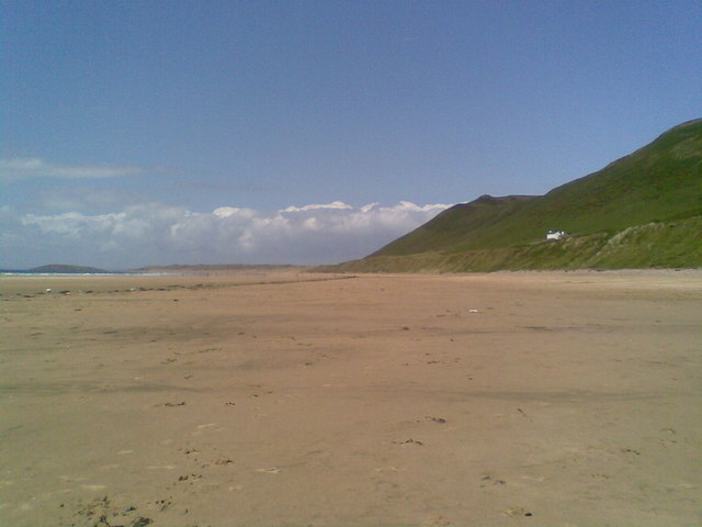
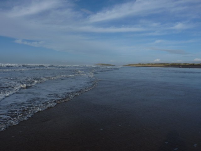
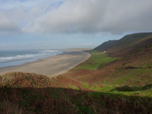
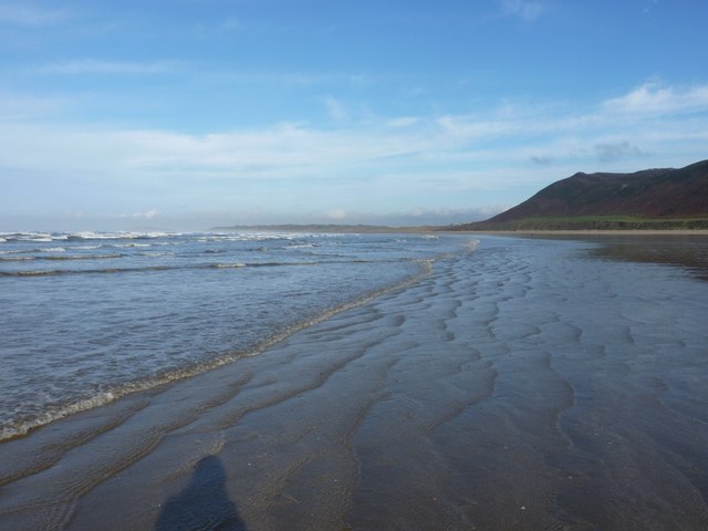
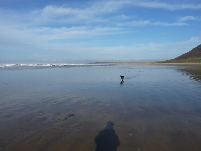
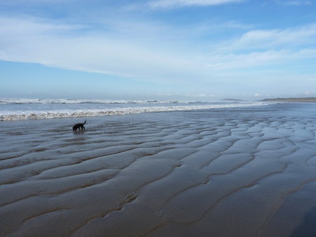
Rhossili Down boasts breathtaking views of the famous Rhossili Bay, often described as one of the most beautiful beaches in the world. The bay stretches for three miles, offering visitors the chance to explore its golden sands and enjoy various water sports such as surfing and swimming. The Down itself offers numerous walking trails, allowing visitors to fully immerse themselves in the natural surroundings and experience the tranquility of the area.

At the summit of Rhossili Down stands the iconic beacon, a historical landmark that dates back to the Napoleonic era. This structure served as a warning system against potential invasions and provides an interesting glimpse into the region's past.

Rhossili Down is a popular destination for nature enthusiasts, hikers, and photographers alike, with its rugged charm and unspoiled beauty captivating visitors from near and far. It is a place where one can truly appreciate the raw power and magnificence of nature.

If you have any feedback on the listing, please let us know in the comments section below.

Rhossili Down Images

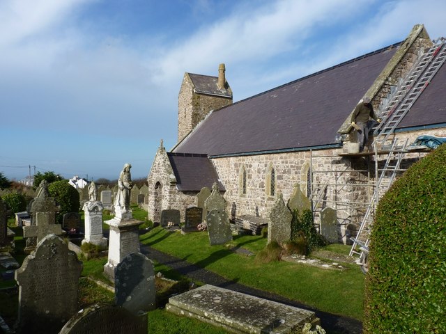
Images are sourced within 2km of 51.582888/-4.2780901 or Grid Reference SS4289. Thanks to Geograph Open Source API. All images are credited.

Cliff cleft  reveals Rhossili Beach The scale of these imposing cliffs can be ascertained by referring to the diminutive figures perched on their top.
Cliff cleft reveals Rhossili Beach
The scale of these imposing cliffs can be ascertained by referring to the diminutive figures perched on their top.
Rhossili Bay Looking north across a deserted beach in early March. Mist touching the top of Rhossili Down on the right.
Rhossili Bay
Looking north across a deserted beach in early March. Mist touching the top of Rhossili Down on the right.
The Bristol Channel At Rhossili Beach.
The Bristol Channel
At Rhossili Beach.
The Wreck of the Helvetia Remains of a shipwreck on Rhossili Beach.
The Wreck of the Helvetia
Remains of a shipwreck on Rhossili Beach.
Rhossili Beach Showing the foot of Rhossili Down on The Gower.
Rhossili Beach
Showing the foot of Rhossili Down on The Gower.
Rhossili Down From Rhossili Beach on The Gower.
Rhossili Down
From Rhossili Beach on The Gower.
Northern end of Rhossili Bay Looking north at low tide towards Burry Holms and Spaniard Rocks. Just ahead is the water fan of the little stream that drains Llangennith Moors. Three horse riders on the other side nearer the sand dunes.
Northern end of Rhossili Bay
Looking north at low tide towards Burry Holms and Spaniard Rocks. Just ahead is the water fan of the little stream that drains Llangennith Moors. Three horse riders on the other side nearer the sand dunes.
Turn of the tide on Rhossili Beach I just caught these few square yards of sand between breakers, shortly after low tide - but I had to leg it up back the beach when the next wave came in!
Turn of the tide on Rhossili Beach
I just caught these few square yards of sand between breakers, shortly after low tide - but I had to leg it up back the beach when the next wave came in!
Rhossili village
Rhossili village
Repair work on Rhossili church Repointing the stonework on the church before the winter gets into it.
Repair work on Rhossili church
Repointing the stonework on the church before the winter gets into it.
The Norman doorway of St Mary the Virgin church
Scratch sundial outside the door of the church
Inside the church of St Mary the Virgin
Edgar Evans - memorial Petty Officer Edgar Evans (born 1876 in Middleton) accompanied Robert Scott on the ill-fated Antarctic expedition, and perished along with the rest of the Pole party in Feb 1912.
<span class="nowrap"><a title="http://en.wikipedia.org/wiki/Edgar_Evans" rel="nofollow ugc noopener" href="http://en.wikipedia.org/wiki/Edgar_Evans">Link</a><img style="margin-left:2px;" alt="External link" title="External link - shift click to open in new window" src="https://s1.geograph.org.uk/img/external.png" width="10" height="10"/></span>
Edgar Evans - memorial
Petty Officer Edgar Evans (born 1876 in Middleton) accompanied Robert Scott on the ill-fated Antarctic expedition, and perished along with the rest of the Pole party in Feb 1912. LinkExternal link
The classic view of Rhossili Bay from the southern end
That's about all you get... A few square yards of sand, near the bottom of a normal tide, between breakers. As the tide came up, a moderate swell developed, and the surfers came out to play at the southern end of the beach.
That's about all you get...
A few square yards of sand, near the bottom of a normal tide, between breakers. As the tide came up, a moderate swell developed, and the surfers came out to play at the southern end of the beach.
A daft dog on Rhossili beach Low water on Rhossili beach, and plenty of space to run around.
A daft dog on Rhossili beach
Low water on Rhossili beach, and plenty of space to run around.
Immediately after low tide on Rhossili beach
Show me another place!

Rhossili Down is located at Grid Ref: SS4289 (Lat: 51.582888, Lng: -4.2780901)

Unitary Authority: Swansea

Police Authority: South Wales

What 3 Words

///kept.whisk.reef. Near Rhossili, Swansea

Related Wikis

Rhossili

Rhossili (Welsh: Rhosili; ) is both a small village and a community on the southwestern tip of the Gower Peninsula in Wales. It is within the first Area...

Llangennith

Llangennith (Welsh: Llangenydd/Llangynydd) is a village in the City and County of Swansea, South Wales. It is located in the Gower. Moor Lane leads westwards...

Mewslade Bay

Mewslade Bay is a small sandy beach facing SSW in the west of the Gower Peninsula, Wales. It lies south of Middleton and southwest of Pitton, from which...

Llanmadoc Hill

Llanmadoc Hill is a 186-metre-high hill at the northwestern corner of the Gower Peninsula west of Swansea in South Wales. The summit at the western end...

Nearby Amenities

Located within 500m of 51.582888,-4.2780901
The data included in this document is from www.openstreetmap.org. The data is made available under ODbL.

Have you been to Rhossili Down?

Leave your review of Rhossili Down below (or comments, questions and feedback).