Thorne Moor

Downs, Moorland in Devon Torridge

England

Thorne Moor

Tilled field northeast of Bulkworthy Looking to the left from where <a href="https://www.geograph.org.uk/photo/5803668">SS4014 : Tilled field northeast of Bulkworthy</a> was taken, showing the lower part of the field where it borders a stream and a small wood.
Tilled field northeast of Bulkworthy Credit: Derek Harper

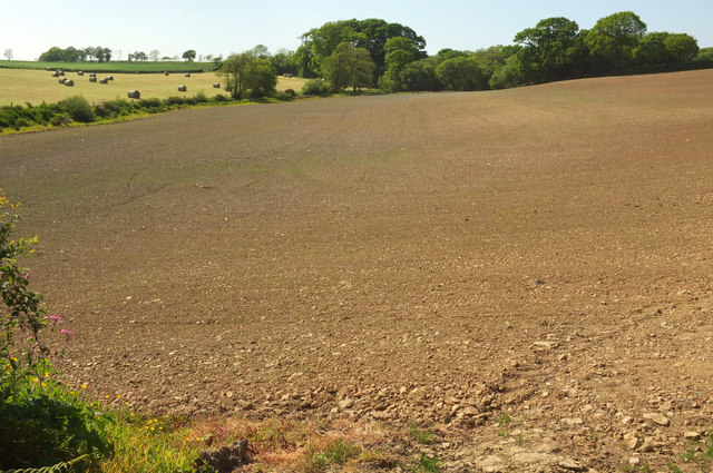
Thorne Moor is a vast and captivating expanse of moorland located in the county of Devon, England. Nestled amidst the rolling hills and picturesque countryside, this natural wonder spans over an impressive area of approximately 3,000 acres. The moor is situated within the larger region known as the Devon Downs, which adds to its inherent charm and allure.

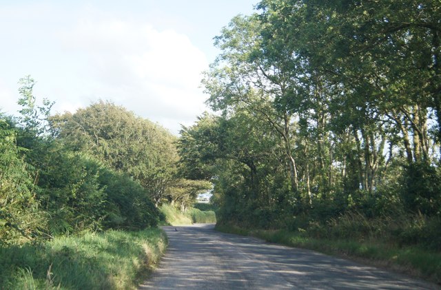
Characterized by its wide-open spaces and undulating terrain, Thorne Moor offers visitors a truly immersive experience in the heart of nature. The landscape is predominantly covered in heather and gorse, which create a breathtaking tapestry of purples, pinks, and greens during the blooming seasons. The moorland is also scattered with scattered stands of birch and oak trees, adding to its scenic beauty.

Home to a rich and diverse range of flora and fauna, Thorne Moor provides a habitat for numerous species of birds, including the iconic Dartford warbler and stonechat. The moorland is also inhabited by various mammals, such as deer, foxes, and badgers, which roam freely across the open expanses.

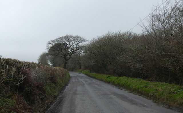
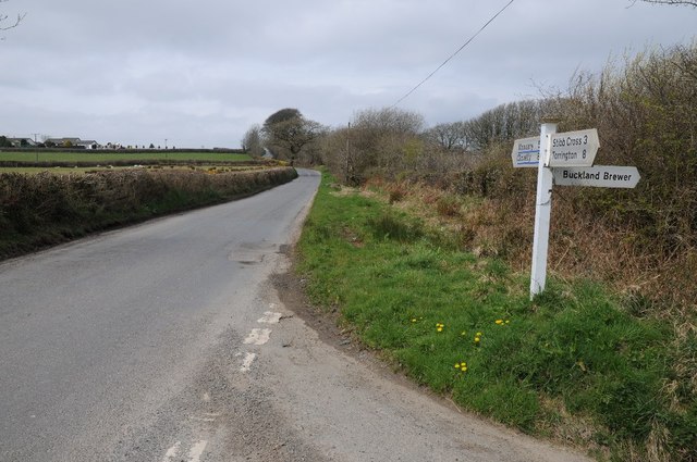
Thorne Moor is a popular destination for nature enthusiasts and hikers, offering a multitude of walking trails and paths. The area is well-maintained, with informative signposts and designated viewpoints that allow visitors to appreciate the stunning vistas and observe the local wildlife.

With its tranquil ambience and breathtaking natural beauty, Thorne Moor is a true gem in the Devon countryside. Whether it's a leisurely stroll, birdwatching, or simply immersing oneself in nature, this moorland offers a captivating experience for all who venture into its midst.

If you have any feedback on the listing, please let us know in the comments section below.
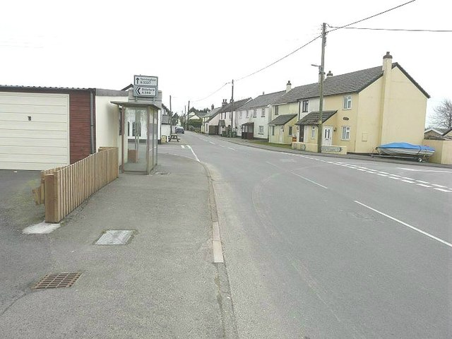
Thorne Moor Images

Images are sourced within 2km of 50.920598/-4.2595641 or Grid Reference SS4115. Thanks to Geograph Open Source API. All images are credited.

Tilled field northeast of Bulkworthy Looking to the left from where <a href="https://www.geograph.org.uk/photo/5803668">SS4014 : Tilled field northeast of Bulkworthy</a> was taken, showing the lower part of the field where it borders a stream and a small wood.
Tilled field northeast of Bulkworthy
Looking to the left from where SS4014 : Tilled field northeast of Bulkworthy was taken, showing the lower part of the field where it borders a stream and a small wood.
Contrasting hedges near Collingsdown Neatly trimmed one side, not so neat opposite
Contrasting hedges near Collingsdown
Neatly trimmed one side, not so neat opposite
Road junction near Collingsdown
Stibb Cross village sign on the A388
Eastacott Farm
Eastacott Farm
Thornehill Head, road junction
Crossroads at Stibb Cross Great Torrington is straight on along the B3227. Bideford is left along the A388 while the road to the right would take you to Battledown Cross in square <a href="https://www.geograph.org.uk/gridref/SS4509">SS4509</a>.
Crossroads at Stibb Cross
Great Torrington is straight on along the B3227. Bideford is left along the A388 while the road to the right would take you to Battledown Cross in square SS4509.
Cherrywood Park junction On the left is a sign for a shop at the garden nursery
Cherrywood Park junction
On the left is a sign for a shop at the garden nursery
Tree shaped by the wind north of Stibb Cross The tree is at the end of a track to East Stibb Farm.  Despite being about 25km from the coast, the west winds have had their effect on the tree
Tree shaped by the wind north of Stibb Cross
The tree is at the end of a track to East Stibb Farm. Despite being about 25km from the coast, the west winds have had their effect on the tree
Bus stop and chapel, Stibb Cross
Shallow valley west of Stibb Cross The railings on the left mark where the road crosses the infant stream which rises in this valley and flows south into the Combe Lake
Shallow valley west of Stibb Cross
The railings on the left mark where the road crosses the infant stream which rises in this valley and flows south into the Combe Lake
Houses at Newton St Petrock Cross A cluster of houses at the junction from the A388 to Newton St Petrock
Houses at Newton St Petrock Cross
A cluster of houses at the junction from the A388 to Newton St Petrock
Torridge : The A388 Looking along the A388 as it heads through Torridge.
Torridge : The A388
Looking along the A388 as it heads through Torridge.
Northern approach to Stibb Cross
Lane crossing Thorne Moor
Lane near Holwell Farm
Muddy lane - Stibb Cross
An assortment of poles Exiting Stibb Cross to the south.
An assortment of poles
Exiting Stibb Cross to the south.
Show me another place!

Thorne Moor is located at Grid Ref: SS4115 (Lat: 50.920598, Lng: -4.2595641)

Administrative County: Devon

District: Torridge

Police Authority: Devon and Cornwall

What 3 Words

///frostbite.table.foster. Near Great Torrington, Devon

Nearby Locations

Dawn Moor Thorne Moor

Related Wikis

Newton St Petrock

Newton St Petrock is an ecclesiastical and civil parish in the Torridge district of Devon in England, occupying approximately 1,500 acres (6.1 km2). The...

Stibb Cross

Stibb Cross is a small village in north Devon, England. It is included in the civil parish of Langtree and is located about one mile from that village...

Hembury Castle, Tythecott

Hembury Castle is an Iron Age Hill fort situated close to Tythecott, south of Buckland Brewer in Devon. The fort is situated on a promontory off the East...

Torridge District

Torridge is a local government district in north-west Devon, England. Its council is based in the town of Bideford. The district also includes the towns...

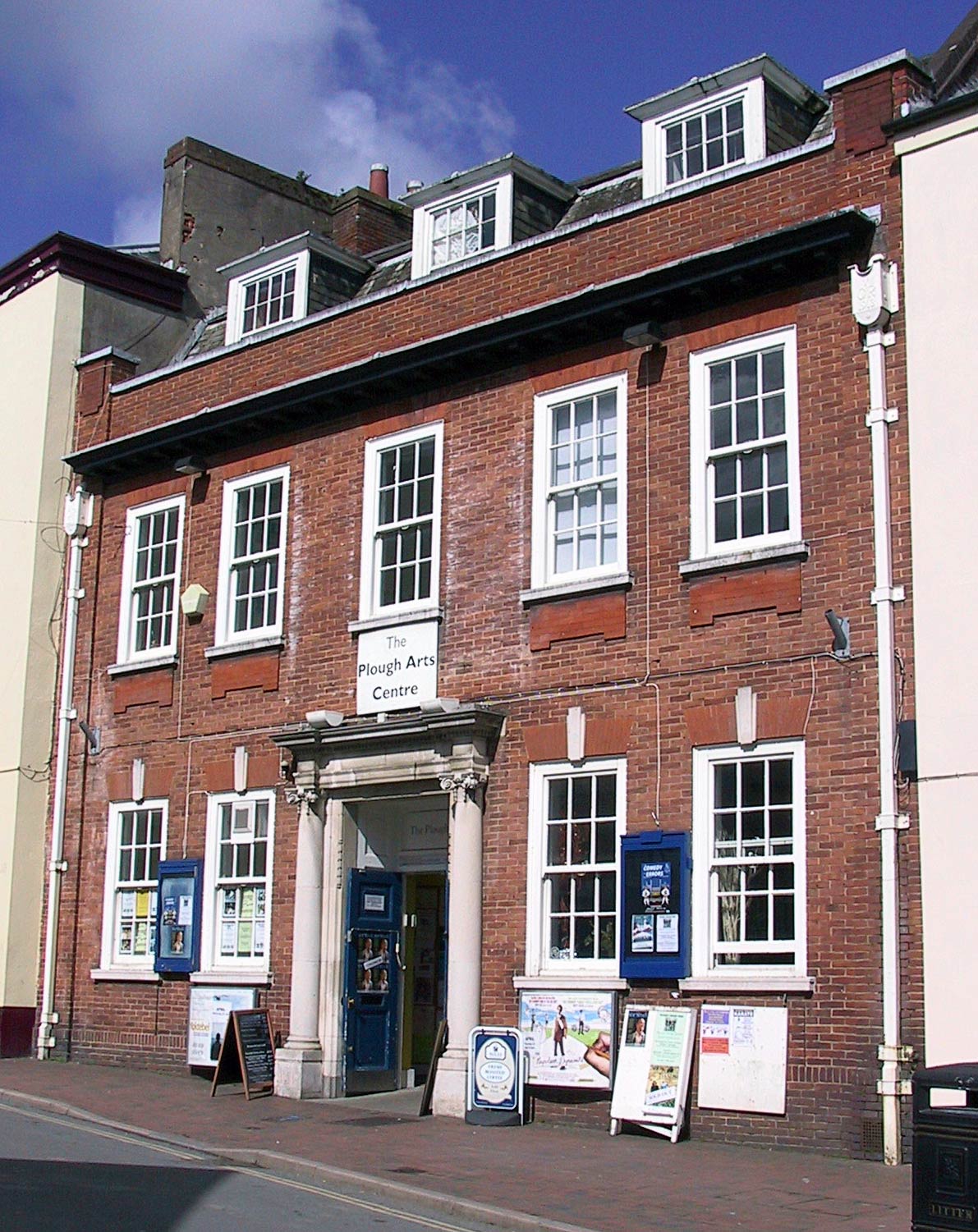
The Plough Arts Centre, Torrington

The Plough Arts Centre is a theatre, cinema and art gallery in Torrington, North Devon, England. The Plough is situated in a former Territorial Army drill...

Bulkworthy

Bulkworthy is a village and civil parish in the Torridge district of Devon, England, about 9 miles southwest of Great Torrington, and on the River Torridge...

Langtree

Langtree is a village and parish in north Devon, England, situated about 4 miles (6 km) south-west of Great Torrington and 8 miles (13 km) south of Bideford...

Abbots Bickington

Abbots Bickington is a village and civil parish in the English county of Devon, located 7.7 mi (12.4 km) north-northeast of Holsworthy and near the River...

Nearby Amenities

Located within 500m of 50.920598,-4.2595641
Parking
Lat/Long: 50.9233502/-4.2619152
Addr Housename: Nattimoor Farm
Lat/Long: 50.9228962/-4.2647436
Thorne Moor
Place: locality
Lat/Long: 50.919107/-4.2600256
Addr Housename: East View
Lat/Long: 50.9174921/-4.2630511
Addr Housename: Thornworthy
Lat/Long: 50.9170288/-4.2632282
Power: pole
Source: bing
Lat/Long: 50.9173813/-4.2615983
Power: pole
Source: bing
Lat/Long: 50.9179528/-4.2598763
Power: pole
Source: bing
Lat/Long: 50.917131/-4.2605603
Power: pole
Source: bing
Lat/Long: 50.91637/-4.2611825
Power: pole
Source: bing
Lat/Long: 50.9211934/-4.2651281
Power: pole
Source: bing
Lat/Long: 50.9206684/-4.2639425
Power: pole
Source: bing
Lat/Long: 50.9201679/-4.262749
Power: pole
Source: bing
Lat/Long: 50.9217133/-4.2663217
Power: pole
Source: bing
Lat/Long: 50.9249866/-4.2600252
Power: pole
Source: bing
Lat/Long: 50.9245218/-4.2611255
Power: pole
Source: bing
Lat/Long: 50.924213/-4.2622106
Power: pole
Source: bing
Lat/Long: 50.923909/-4.2632926
Power: pole
Source: bing
Lat/Long: 50.9236036/-4.2643368
Power: pole
Lat/Long: 50.9191711/-4.2604114
Power: pole
Lat/Long: 50.9186824/-4.259309
Power: pole
Lat/Long: 50.9181878/-4.258161
Power: pole
Lat/Long: 50.9178023/-4.2572866
Power: pole
Lat/Long: 50.9169653/-4.2553514
Thornehill Head
Description: OS trig pillar
Ele: 195.699
Man Made: survey_point
Note: Accurate location import for imagery offset calibration. Please do not move.
Ref: SS30/T40
Source: Ordnance Survey (OGL)
Survey Point: pillar
Lat/Long: 50.9242178/-4.2604066
The Buckland Brewers
Addr City: Bideford
Addr Postcode: EX39 5NU
Addr Street: Buckland Brewer
Contact Facebook: https://www.facebook.com/BucklandBrewer/
Craft: brewery
Email: frits@thebucklandbrewers.co.uk
Opening Hours: appointment only
Source: NPE
Website: http://www.thebucklandbrewers.co.uk
Lat/Long: 50.9240287/-4.2590246
Poles: bipole
Power: pole
Source: bing
Transformer: distribution
Lat/Long: 50.917678/-4.2627637
The data included in this document is from www.openstreetmap.org. The data is made available under ODbL.

Have you been to Thorne Moor?

Leave your review of Thorne Moor below (or comments, questions and feedback).