Blairmakin Muir

Downs, Moorland in Wigtownshire

Scotland

Blairmakin Muir

Knockefferick Trig Point Flush Bracket S8231
Knockefferick Trig Point Flush Bracket S8231 Credit: thejackrustles

Blairmakin Muir is a picturesque area located in the region of Wigtownshire, within Dumfries and Galloway, southwestern Scotland. This captivating landscape is characterized by its rolling downs and expansive moorlands, offering visitors a unique blend of natural beauty and tranquility.

The downs of Blairmakin Muir are characterized by their gently sloping hills, covered in lush green grasses and dotted with vibrant wildflowers during the summer months. The open expanse of these downs provides breathtaking panoramic views of the surrounding countryside, making it a popular spot for nature enthusiasts and photographers.

The moorlands in Blairmakin Muir are a sight to behold, with their vast stretches of heather-covered terrain. The rich purple hues of the heather create a stunning contrast against the greenery, especially when the moors are in full bloom. These moorlands are home to a variety of wildlife, including red deer, birds of prey, and smaller mammals, making it an ideal destination for wildlife enthusiasts and bird watchers.

Visitors to Blairmakin Muir can explore the area through a network of walking trails and paths, allowing them to fully immerse themselves in the beauty of the landscape. The peaceful atmosphere of the downs and moorlands offers a perfect escape from the hustle and bustle of everyday life, providing a sense of serenity and tranquility.

Overall, Blairmakin Muir in Wigtownshire is a stunning location that showcases the natural wonders of downs and moorlands. Its breathtaking vistas, diverse wildlife, and peaceful ambiance make it a must-visit destination for nature lovers and those seeking a retreat into the Scottish countryside.

If you have any feedback on the listing, please let us know in the comments section below.

Blairmakin Muir Images

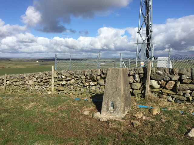
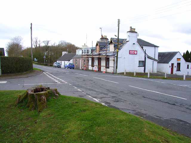
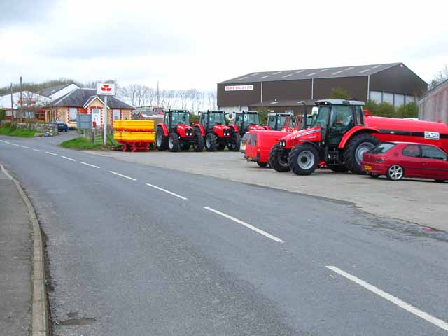
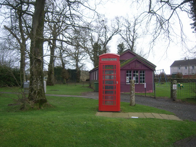
Images are sourced within 2km of 54.82873/-4.4728994 or Grid Reference NX4151. Thanks to Geograph Open Source API. All images are credited.

Knockefferick Trig Point Flush Bracket S8231
Old milestone This milestone at the north east end of Whauphill is on the left hand side of a drive into a house.   It is opposite the Station House junction.   The railway ran from Newton Stewart to Whithorn with a spur to Garlieston.   It has been cleared of vegetation and painted by a Milestone Society member.
Old milestone
This milestone at the north east end of Whauphill is on the left hand side of a drive into a house. It is opposite the Station House junction. The railway ran from Newton Stewart to Whithorn with a spur to Garlieston. It has been cleared of vegetation and painted by a Milestone Society member.
Old milestone Southwestwards into the village centre where the B7052 forms a crossroads with the B7085.
Old milestone
Southwestwards into the village centre where the B7052 forms a crossroads with the B7085.
Whaup Hotel At the time of this photo, this pub in the centre of the tiny village of Whauphill was undergoing a face lift, following the death of the landlord. It has subsequently reopened as a pub and restaurant with an lively music programme; customers are active in fund-raising for cancer research. <span class="nowrap"><a title="http://www.whauphotel.co.uk" rel="nofollow ugc noopener" href="http://www.whauphotel.co.uk">Link</a><img style="margin-left:2px;" alt="External link" title="External link - shift click to open in new window" src="https://s1.geograph.org.uk/img/external.png" width="10" height="10"/></span>
Whaup Hotel
At the time of this photo, this pub in the centre of the tiny village of Whauphill was undergoing a face lift, following the death of the landlord. It has subsequently reopened as a pub and restaurant with an lively music programme; customers are active in fund-raising for cancer research. LinkExternal link
Agricultural engineers at Whauphill
Telephone Box & purple village hall
The Whaup Hotel This looked a bit closed to me when I wanted to visit!
The Whaup Hotel
This looked a bit closed to me when I wanted to visit!
Barwhanny Hill View of Barwhanny Hill and Wood with Barwhanny Cottages in the foreground. Not really a cold day in May but clearly a wood fire burning.
Barwhanny Hill
View of Barwhanny Hill and Wood with Barwhanny Cottages in the foreground. Not really a cold day in May but clearly a wood fire burning.
Wigtownshire Railway Old dismantled railway looking towards Whauphill with Barwhanny Farm and Hill on the right
Wigtownshire Railway
Old dismantled railway looking towards Whauphill with Barwhanny Farm and Hill on the right
Whauphill View along the B7085 in Whauphill past Tarff Valley Agricultural Merchants right of picture.
Whauphill
View along the B7085 in Whauphill past Tarff Valley Agricultural Merchants right of picture.
Whauphill View along the B7052 that leads to Sorbie, Whaup Hill is right of picture.
Whauphill
View along the B7052 that leads to Sorbie, Whaup Hill is right of picture.
Whaup Hotel Rephotograph of this hotel in Whauphill Geographed previously in 2006 <a href="https://www.geograph.org.uk/photo/663378">NX4049 : The Whaup Hotel</a> and 2008 <a href="https://www.geograph.org.uk/photo/663378">NX4049 : The Whaup Hotel</a>.
Whaup Hotel
Rephotograph of this hotel in Whauphill Geographed previously in 2006 NX4049 : The Whaup Hotel and 2008 NX4049 : The Whaup Hotel.
Telephone Box in Whauphill Rephotograph of this box Geographed previously in 2008 <a href="https://www.geograph.org.uk/photo/663371">NX4049 : Telephone Box & purple village hall</a>.
Telephone Box in Whauphill
Rephotograph of this box Geographed previously in 2008 NX4049 : Telephone Box & purple village hall.
Whauphill Village Hall Rephotograph of the village hall Geographed previously in 2008 <a href="https://www.geograph.org.uk/photo/663371">NX4049 : Telephone Box & purple village hall</a>. Not quite so purple when I visited and in need of a lick of paint.
Whauphill Village Hall
Rephotograph of the village hall Geographed previously in 2008 NX4049 : Telephone Box & purple village hall. Not quite so purple when I visited and in need of a lick of paint.
Village Hall, Whauphill
The B7052 at Whauphill
Curlew Close, Whauphill
Arriving at Whauphill
Show me another place!

Blairmakin Muir is located at Grid Ref: NX4151 (Lat: 54.82873, Lng: -4.4728994)

Unitary Authority: Dumfries and Galloway

Police Authority: Dumfries and Galloway

What 3 Words

///guidebook.sneezing.agency. Near Whithorn, Dumfries & Galloway

Related Wikis

Kirkinner railway station

Kirkinner was a railway station on the Wigtownshire Railway branch line, from Newton Stewart to Whithorn, of the Portpatrick and Wigtownshire Joint Railway...

Whauphill railway station

Whauphill (NX 40462 49887) was a railway station on the Wigtownshire Railway branch line, from Newton Stewart to Whithorn, of the Portpatrick and Wigtownshire...

Kirkinner

Kirkinner (Scottish Gaelic: Cille Chainneir, IPA: [ˈkʲʰiʎə ˈxaɲɪɾʲ]) is a village in the Machars, in the historical county of Wigtownshire in Dumfries...
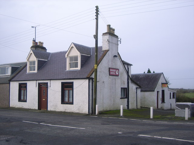
Whauphill

Whauphill is a small village located in the historical county of Wigtownshire in the Machars, Dumfries and Galloway, Scotland.Whauphill is a hub that supports...

Nearby Amenities

Located within 500m of 54.82873,-4.4728994
Roan Hill
Natural: peak
Lat/Long: 54.8310326/-4.4694329
Drumjargon Hill
Natural: peak
Lat/Long: 54.8251571/-4.4752587
Dam Hill
Natural: peak
Lat/Long: 54.8319045/-4.4744132
Power: pole
Lat/Long: 54.8330161/-4.4743039
Power: pole
Lat/Long: 54.832309/-4.4748283
Power: pole
Lat/Long: 54.8316995/-4.4752869
Power: pole
Lat/Long: 54.8310005/-4.4758466
Power: pole
Lat/Long: 54.8302975/-4.4763899
Power: pole
Lat/Long: 54.8296093/-4.4769261
Power: pole
Lat/Long: 54.8289185/-4.4774575
Power: pole
Lat/Long: 54.8281238/-4.4780814
Power: pole
Lat/Long: 54.8272739/-4.4787486
Power: pole
Lat/Long: 54.8264432/-4.4793868
Power: pole
Lat/Long: 54.8275692/-4.4770601
Power: pole
Lat/Long: 54.8270138/-4.476023
Power: pole
Lat/Long: 54.8264638/-4.4749741
Power: pole
Lat/Long: 54.8261414/-4.4743815
Power: pole
Lat/Long: 54.8257526/-4.4736595
Power: pole
Lat/Long: 54.8253665/-4.4729352
Power: pole
Lat/Long: 54.8247527/-4.4725942
Power: pole
Lat/Long: 54.8270517/-4.4742709
Power: pole
Lat/Long: 54.8275516/-4.4736642
The data included in this document is from www.openstreetmap.org. The data is made available under ODbL.

Have you been to Blairmakin Muir?

Leave your review of Blairmakin Muir below (or comments, questions and feedback).