Allt Fawr
Downs, Moorland in Caernarfonshire
Wales
Allt Fawr
Allt Fawr is a prominent hill located in the county of Caernarfonshire, Wales. Situated within the Snowdonia National Park, it is part of the expansive mountainous landscape that characterizes this region. With an elevation of approximately 698 meters (2,290 feet), Allt Fawr offers breathtaking panoramic views of the surrounding area.
The hill is predominantly covered in moorland, characterized by its vast stretches of open, treeless terrain. The moorland is composed of heather, grasses, and scattered shrubs, creating a picturesque and rugged landscape. This type of environment supports a variety of wildlife, including birds such as red grouse and birds of prey.
Accessing Allt Fawr can be done through several walking routes, with the most popular starting from the village of Rhyd Ddu. The trail is well-marked and offers a challenging yet rewarding hike for outdoor enthusiasts. Along the way, hikers may encounter rocky paths and steep sections, adding to the excitement and adventure.
Reaching the summit of Allt Fawr rewards visitors with stunning views of the surrounding mountains, valleys, and lakes. On a clear day, it is possible to see as far as the Irish Sea and the Isle of Man. The hill is also a popular spot for paragliding and hang gliding due to its favorable wind conditions and panoramic vistas.
Allt Fawr, Caernarfonshire, presents nature lovers and outdoor enthusiasts with an opportunity to immerse themselves in the rugged beauty of the Welsh moorland and experience the awe-inspiring landscapes that Snowdonia National Park has to offer.
If you have any feedback on the listing, please let us know in the comments section below.
Allt Fawr Images
Images are sourced within 2km of 52.895246/-4.4032085 or Grid Reference SH3835. Thanks to Geograph Open Source API. All images are credited.
Allt Fawr is located at Grid Ref: SH3835 (Lat: 52.895246, Lng: -4.4032085)
Unitary Authority: Gwynedd
Police Authority: North Wales
What 3 Words
///hamsters.pony.testers. Near Pwllheli, Gwynedd
Nearby Locations
Related Wikis

Afon Erch
The Afon Erch is a short river on the Llŷn peninsula, Gwynedd, Wales. It arises near the village of Llanaelhaearn, flowing south and southwest towards...

Neuadd Dwyfor
Pwllheli Town Hall (Welsh: Neuadd Dwyfor) is a municipal building in Penlan Street, Pwllheli, Gwynedd, Wales. The structure, which now operates as an arts...

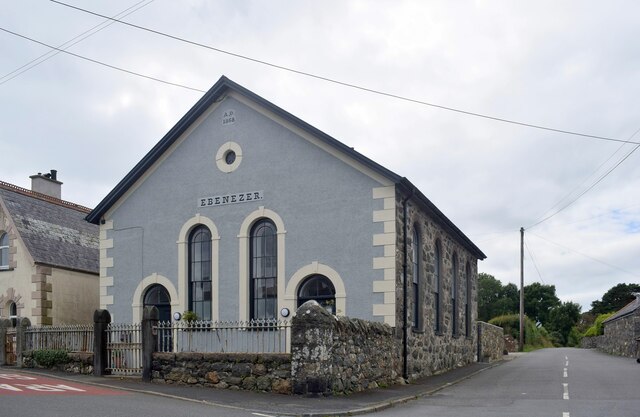
Capel Salem, Pwllheli
Capel Salem is a Grade II listed former chapel in Pwllheli, Gwynedd, Wales. It was originally built in 1862 for the Calvinistic Methodists, to the designs...
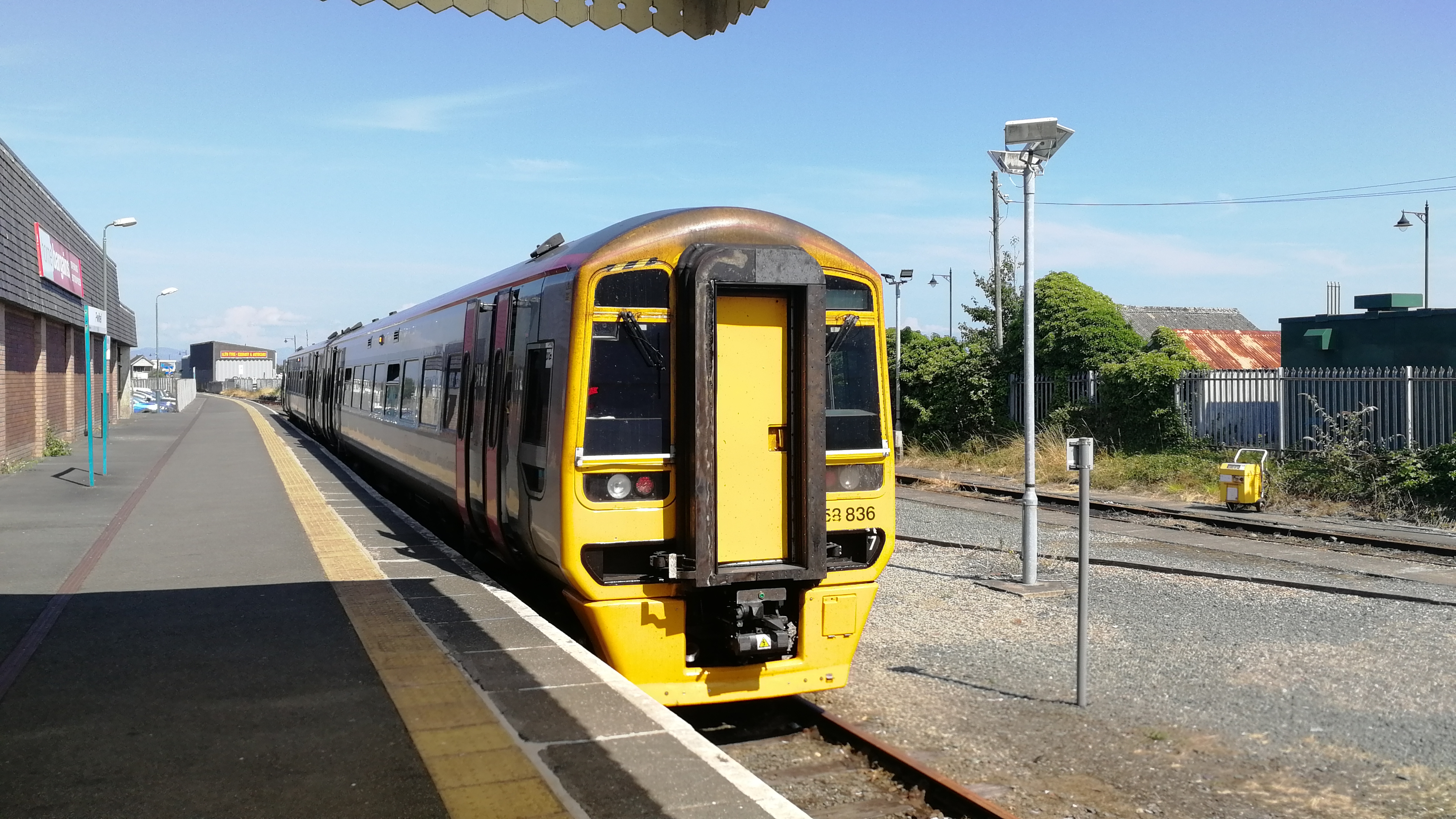
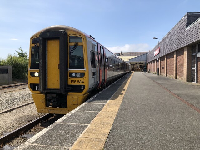
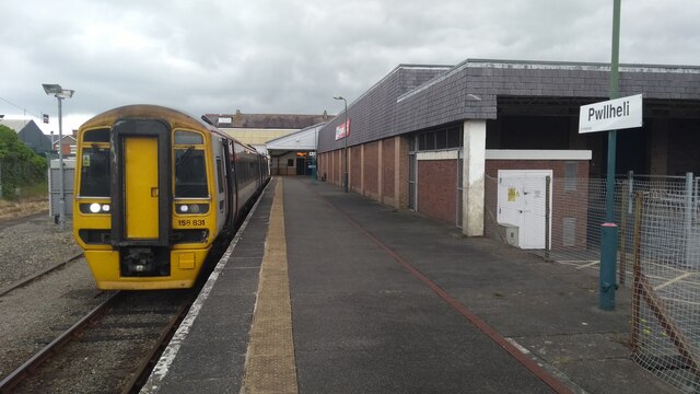
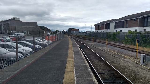
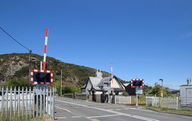
Pwllheli railway station
Pwllheli railway station serves the small coastal town of Pwllheli, on the Llŷn Peninsula in Gwynedd, Wales. It is the northern terminus of the Cambrian...

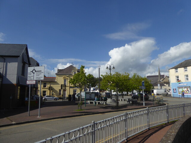
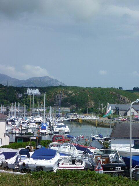
Pwllheli
Pwllheli (Welsh: [pʊɬˈhɛli] ; ) is a market town and community of the Llŷn Peninsula (Welsh: Penrhyn Llŷn), north-western Wales. It lies in the traditional...
Abererch
Aber-erch ([abɛrˈɛrχ], Welsh for "Mouth of the Erch") is a small village and former civil parish on the Llŷn Peninsula in the Welsh county of Gwynedd....

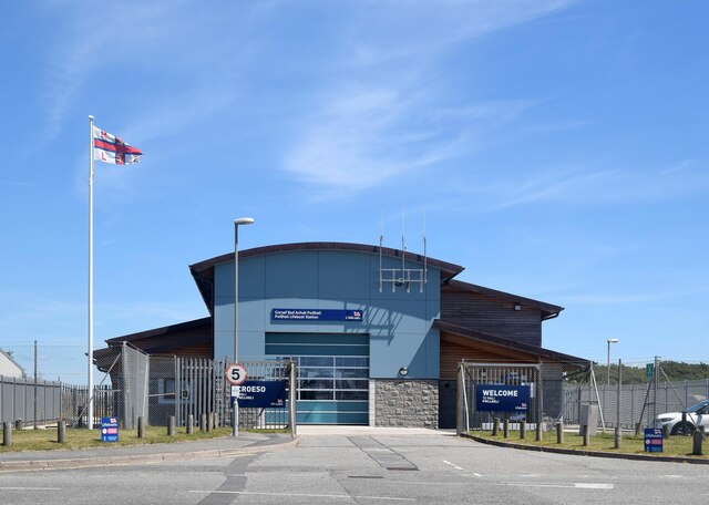
Pwllheli Lifeboat Station
Pwllheli Lifeboat Station (based in Pwllheli, Gwynedd, Wales) was first established by the Royal National Lifeboat Institution (RNLI) in 1891 at a cost...

Carreg yr Imbill
Carreg yr Imbill is the remains of a large dolerite with pegmatite pods and quarry at Pwllheli, Gwynedd, Wales. The dolerite was mined by the Liverpool...
Nearby Amenities
Located within 500m of 52.895246,-4.4032085Have you been to Allt Fawr?
Leave your review of Allt Fawr below (or comments, questions and feedback).