Nant Stigallt Reservoir
Lake, Pool, Pond, Freshwater Marsh in Caernarfonshire
Wales
Nant Stigallt Reservoir
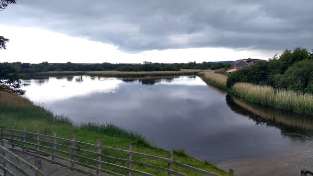
Nant Stigallt Reservoir is a picturesque freshwater reservoir located in Caernarfonshire, Wales. Nestled amidst the scenic beauty of the Snowdonia National Park, it covers an area of approximately 8 acres. The reservoir is situated within a valley, surrounded by lush green hills and breathtaking mountain peaks, creating a stunning backdrop.
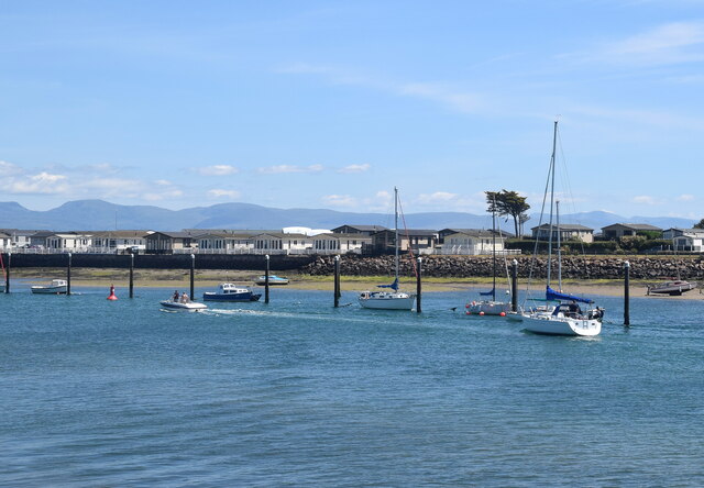
As a man-made water body, Nant Stigallt Reservoir serves as a vital source of freshwater for the surrounding area. It is fed by a network of small streams and natural springs, ensuring a constant supply of water throughout the year. The reservoir's water is of excellent quality, making it suitable for various recreational activities such as fishing and boating.
The reservoir also attracts a diverse range of bird species, making it a popular spot for birdwatching enthusiasts. Visitors can often spot waterfowl, including ducks and swans, as well as various species of wading birds. The surrounding marshland provides a haven for wildlife, with a rich ecosystem of plants and animals thriving in the area.
Access to Nant Stigallt Reservoir is convenient, with a well-maintained footpath leading from the nearby village. The reservoir offers a tranquil and peaceful environment, making it an ideal location for nature walks and relaxation. The surrounding landscape is dotted with picnic areas, allowing visitors to enjoy a leisurely meal while taking in the breathtaking scenery.
In conclusion, Nant Stigallt Reservoir is a beautiful freshwater body situated in the heart of Caernarfonshire. With its scenic beauty, diverse wildlife, and recreational opportunities, it is a must-visit destination for nature lovers and outdoor enthusiasts.
If you have any feedback on the listing, please let us know in the comments section below.
Nant Stigallt Reservoir Images
Images are sourced within 2km of 52.895816/-4.4039388 or Grid Reference SH3835. Thanks to Geograph Open Source API. All images are credited.


Nant Stigallt Reservoir is located at Grid Ref: SH3835 (Lat: 52.895816, Lng: -4.4039388)
Unitary Authority: Gwynedd
Police Authority: North Wales
What 3 Words
///disposing.animals.noon. Near Pwllheli, Gwynedd
Nearby Locations
Related Wikis

Afon Erch
The Afon Erch is a short river on the Llŷn peninsula, Gwynedd, Wales. It arises near the village of Llanaelhaearn, flowing south and southwest towards...

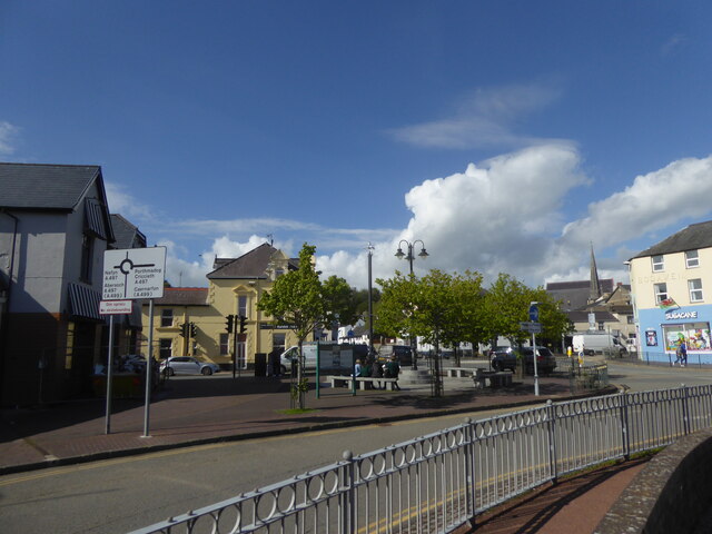
Neuadd Dwyfor
Pwllheli Town Hall (Welsh: Neuadd Dwyfor) is a municipal building in Penlan Street, Pwllheli, Gwynedd, Wales. The structure, which now operates as an arts...

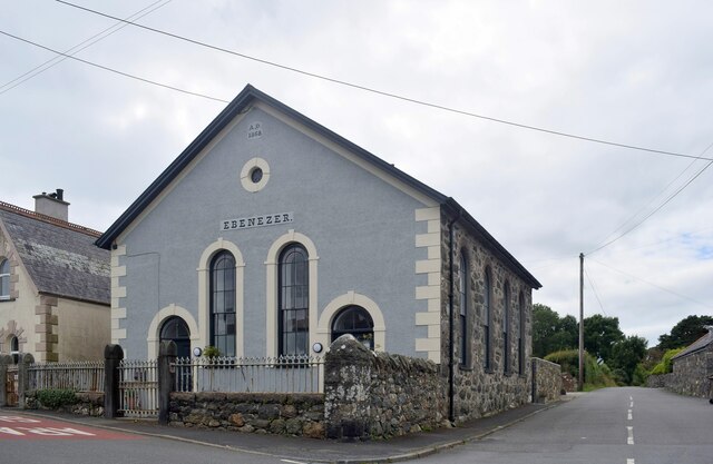
Capel Salem, Pwllheli
Capel Salem is a Grade II listed former chapel in Pwllheli, Gwynedd, Wales. It was originally built in 1862 for the Calvinistic Methodists, to the designs...
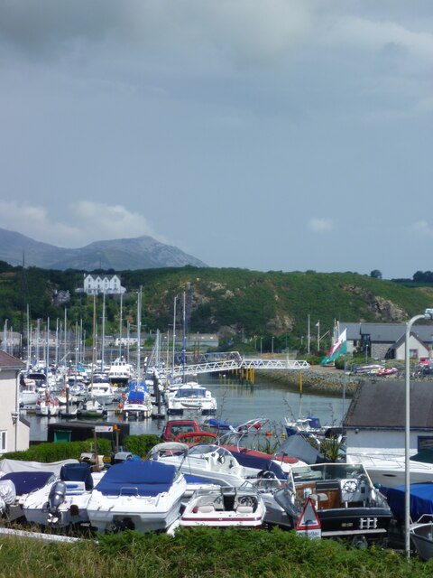
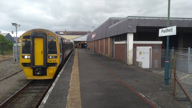
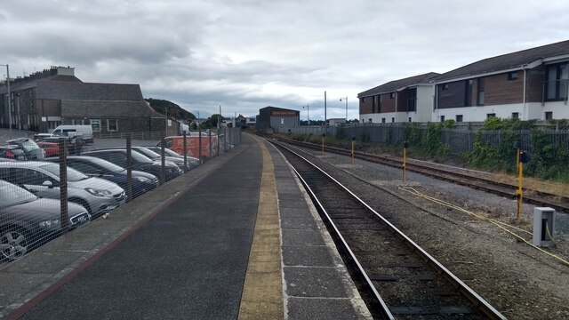
Pwllheli railway station
Pwllheli railway station serves the small coastal town of Pwllheli, on the Llŷn Peninsula in Gwynedd, Wales. It is the northern terminus of the Cambrian...
Nearby Amenities
Located within 500m of 52.895816,-4.4039388Have you been to Nant Stigallt Reservoir?
Leave your review of Nant Stigallt Reservoir below (or comments, questions and feedback).