Blackpark Moss
Downs, Moorland in Wigtownshire
Scotland
Blackpark Moss
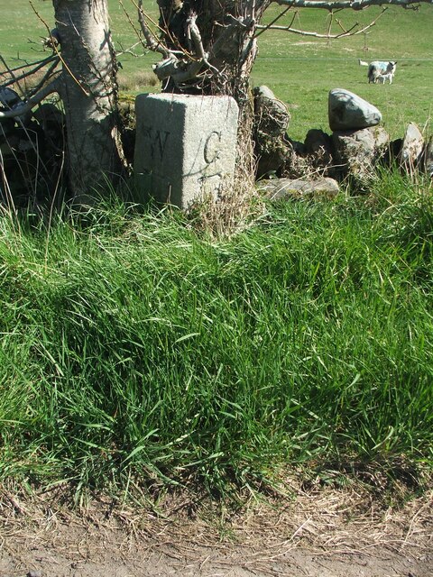
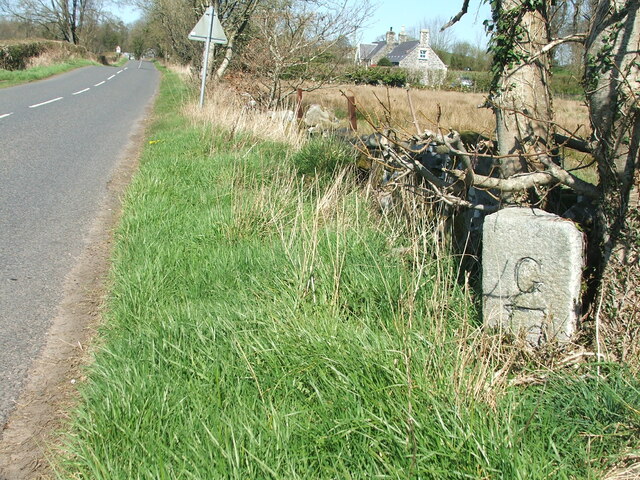
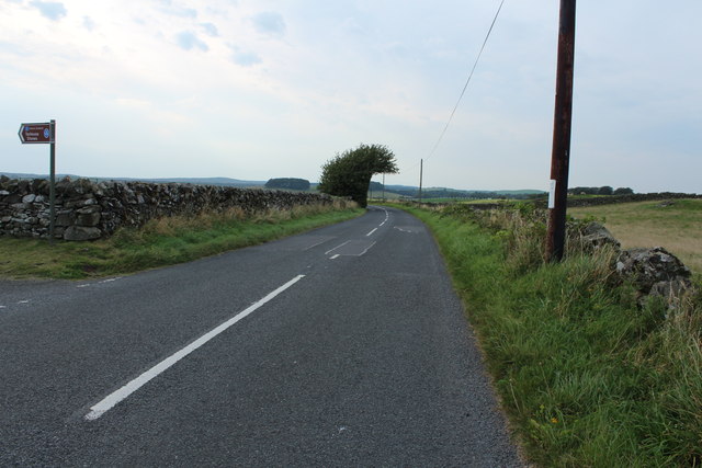
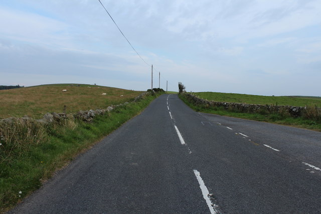
Blackpark Moss is a vast expanse of downs and moorland located in Wigtownshire, Scotland. Spanning over hundreds of acres, this unique landscape offers a rich and diverse environment for both flora and fauna.
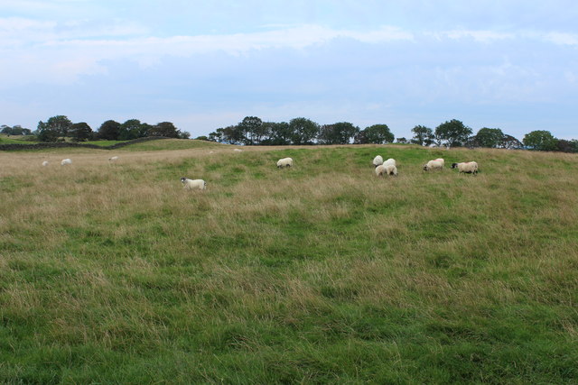
The moss is characterized by its rolling hills, covered in heather, bracken, and grasses, creating a beautiful tapestry of colors throughout the year. The terrain is undulating, with pockets of wetland and peat bogs scattered across the area. These wetlands provide a haven for various species of birds, including the rare black grouse and curlew, making it a popular spot for birdwatchers.
Blackpark Moss is also home to a diverse range of plant life, with wildflowers such as harebell, purple moor grass, and bog cotton adding vibrancy to the landscape. The moss is crisscrossed with a network of small streams and rivulets, further enhancing its natural beauty.
The moss is open to the public, and visitors can explore this untamed wilderness through a network of footpaths that wind through the terrain. The panoramic views from the higher points of the downs are breathtaking, offering glimpses of the surrounding countryside and the nearby Solway Firth.
Due to its remote location, Blackpark Moss offers a sense of tranquility and isolation, allowing visitors to escape the hustle and bustle of modern life. Its natural beauty and biodiversity make it a must-visit destination for nature enthusiasts and those seeking a peaceful retreat in the heart of Wigtownshire.
If you have any feedback on the listing, please let us know in the comments section below.
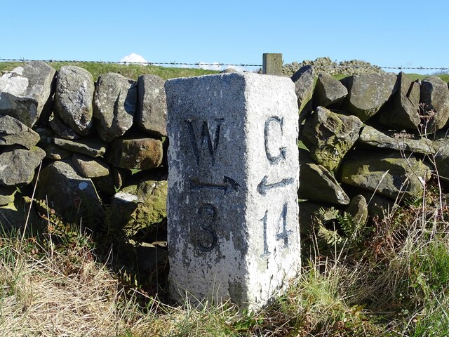
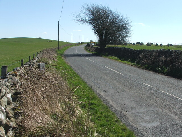
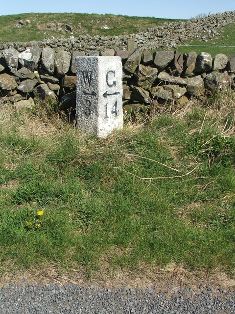
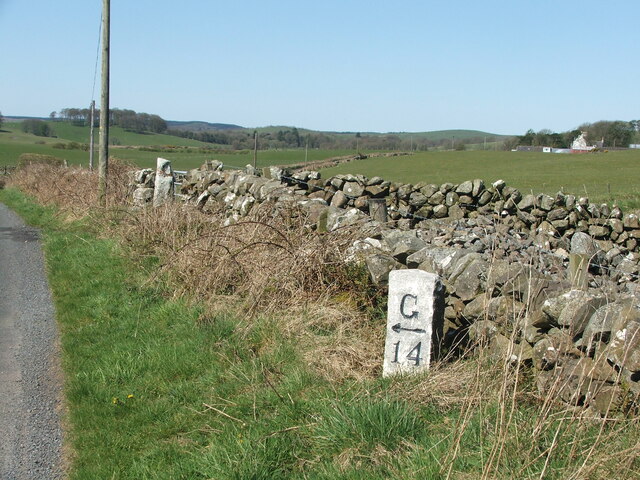
Blackpark Moss Images
Images are sourced within 2km of 54.893816/-4.5251266 or Grid Reference NX3858. Thanks to Geograph Open Source API. All images are credited.


Blackpark Moss is located at Grid Ref: NX3858 (Lat: 54.893816, Lng: -4.5251266)
Unitary Authority: Dumfries and Galloway
Police Authority: Dumfries and Galloway
What 3 Words
///reckoned.spires.beauty. Near Newton Stewart, Dumfries & Galloway
Nearby Locations
Related Wikis

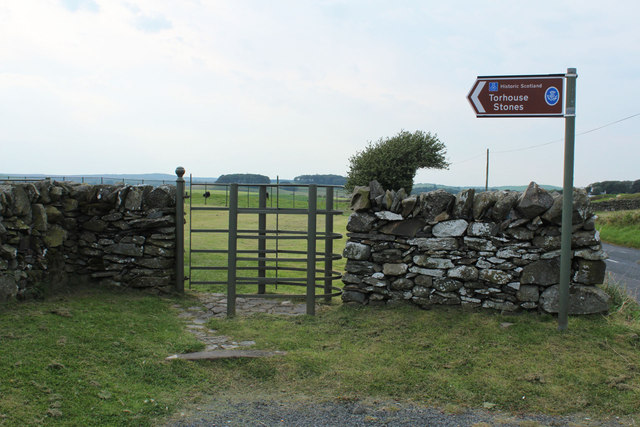
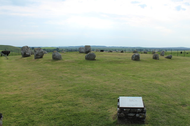
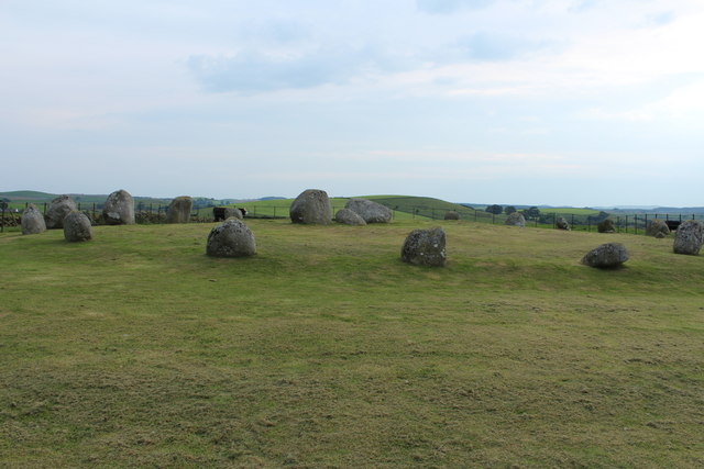
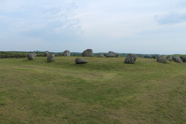
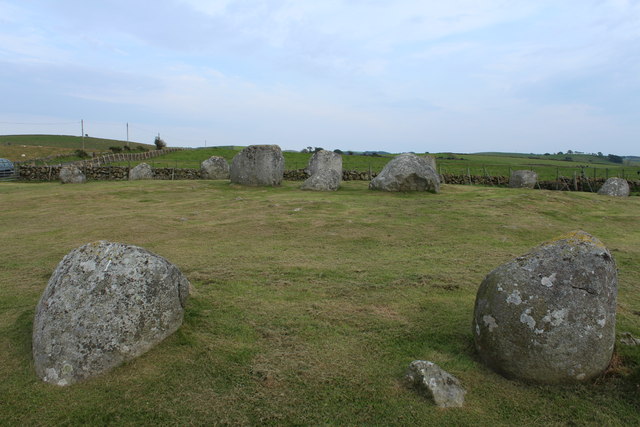
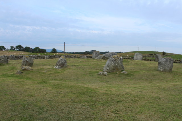
Torhouse
The Standing Stones of Torhouse (also Torhousekie) are a stone circle of nineteen granite boulders on the land of Torhouse, three miles west of Wigtown...

Mains of Penninghame Platform railway station
Mains of Penninghame Platform railway station (NX410617) was a halt on the Wigtownshire Railway branch line, from Newton Stewart to Whithorn, of the Portpatrick...

Causeway End railway station
Causeway End (NX 42047 59602) or Causwayend was a railway station on the Wigtownshire Railway branch line, from Newton Stewart to Whithorn, of the Portpatrick...
Wigtown & Bladnoch F.C.
Wigtown & Bladnoch Football Club are a football club from the town of Wigtown in the Dumfries and Galloway area of Scotland, who play in the South of Scotland...

Bladnoch Distillery and Visitor Centre
Bladnoch distillery is a single malt Scotch whisky distillery in south west Scotland. It is one of six remaining Lowland distilleries, located at Bladnoch...

Bladnoch, Wigtownshire
Bladnoch (Scottish Gaelic: Blaidneach) is a small village on the River Bladnoch in Wigtownshire, Scotland, located just outside the county town of Wigtown...
Kirkcowan
Kirkcowan is an area about 15 miles in length, and from nearly two to nearly seven miles in breadth, comprising 30,580 acres, of which 7000 are arable...
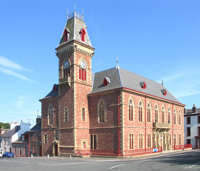
Wigtown County Buildings
Wigtown County Buildings, also known as Wigtown County Buildings and Town Hall, is a municipal building in The Square, Wigtown, Scotland. The structure...
Have you been to Blackpark Moss?
Leave your review of Blackpark Moss below (or comments, questions and feedback).