Bartrostan Moss

Downs, Moorland in Wigtownshire

Scotland

Bartrostan Moss

Road sign at Barvennan Junction
Road sign at Barvennan Junction Credit: Mark McKie

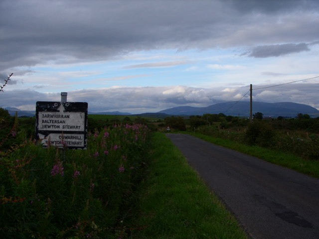
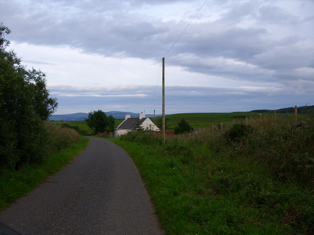
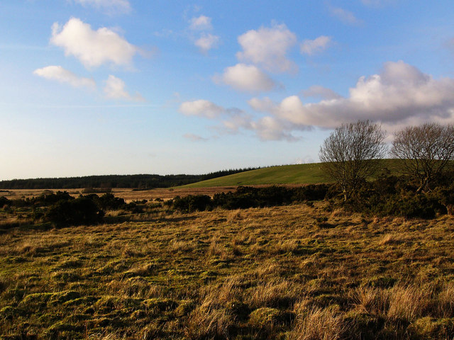
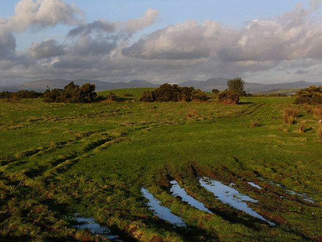
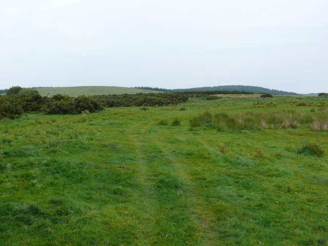
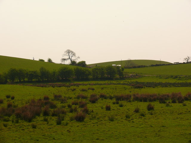
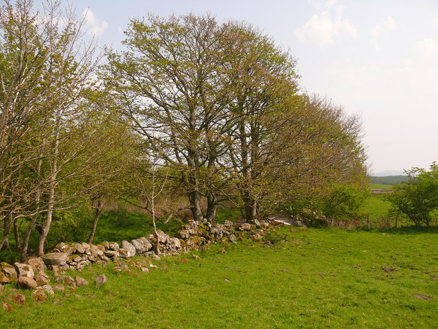
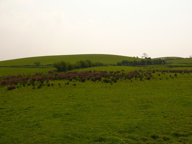
Bartrostan Moss is a scenic and relatively untouched area located in Wigtownshire, a historic county in the southwest of Scotland. Situated in the picturesque region known as Downs, Moorland, this natural expanse offers a unique blend of low-lying grasslands and peat bogs, creating a diverse and fascinating landscape.

Covering an area of approximately 100 acres, Bartrostan Moss is characterized by its wet and boggy terrain, with an assortment of shallow pools and small streams meandering through the area. The moss is predominantly covered with a variety of mosses and grasses, creating a vibrant green carpet that stretches as far as the eye can see.

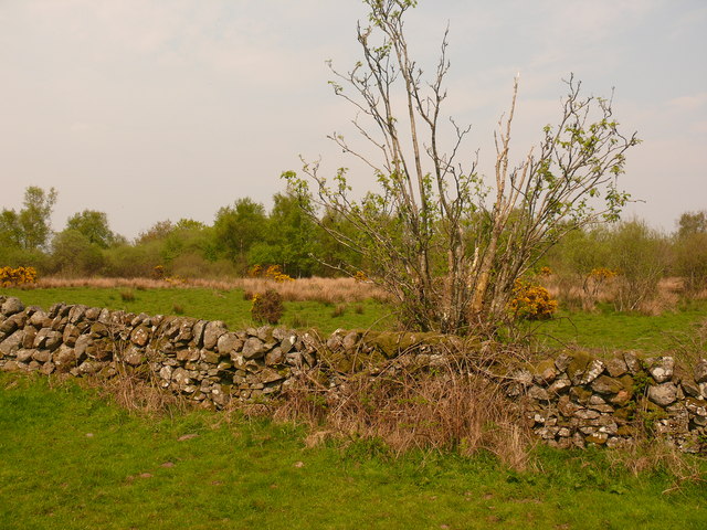
The flora and fauna found in Bartrostan Moss are exceptionally diverse, with several species of rare plants and animals calling this area home. The moss provides a perfect habitat for a range of bird species, including curlews, lapwings, and snipes, making it a popular spot for birdwatching enthusiasts.

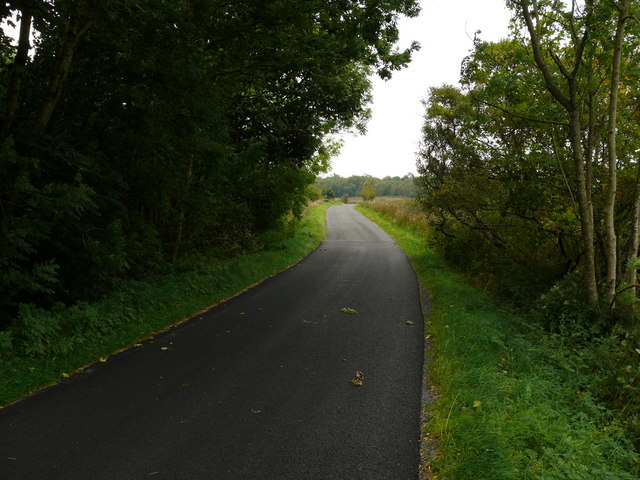
The tranquil and untouched nature of Bartrostan Moss makes it an ideal location for those seeking solitude and a connection with nature. Visitors can explore the area via a network of walking trails that wind through the moss, providing breathtaking views of the surrounding countryside.

Bartrostan Moss is a precious natural treasure, and efforts are being made to preserve its unique ecosystem. The area is protected under national conservation legislation, ensuring that its natural beauty and biodiversity will be safeguarded for future generations to enjoy.

If you have any feedback on the listing, please let us know in the comments section below.

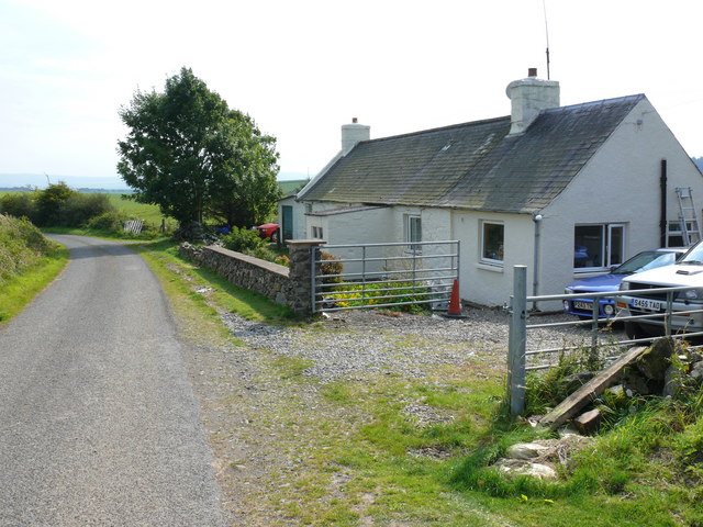
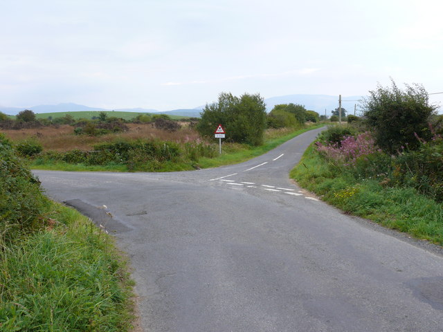
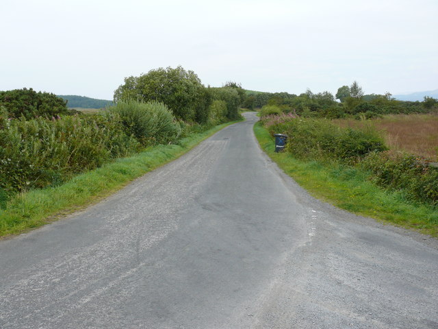
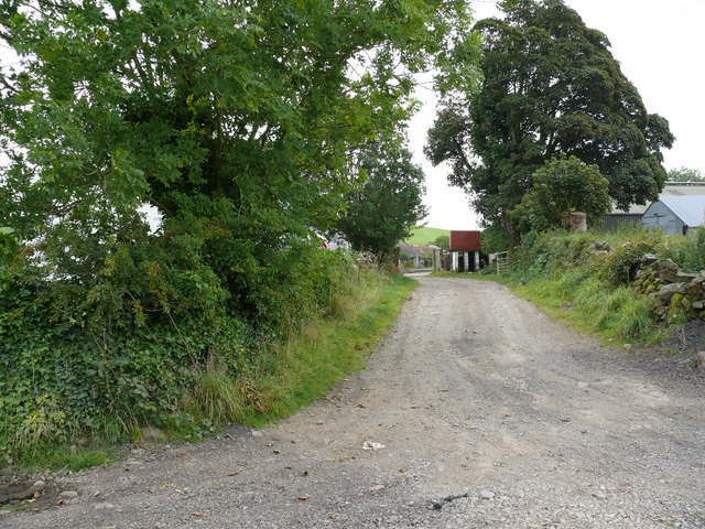
Bartrostan Moss Images

Images are sourced within 2km of 54.900401/-4.5257573 or Grid Reference NX3859. Thanks to Geograph Open Source API. All images are credited.

Road sign at Barvennan Junction
Cottage just past Barvennan Farm
Barvennan Moss The green hill is Bar Fauld. The conifers in the distance are on the High Moor of Killiemore, near the abandoned crofting community of Killiemore.
Barvennan Moss
The green hill is Bar Fauld. The conifers in the distance are on the High Moor of Killiemore, near the abandoned crofting community of Killiemore.
Rough pasture near Barvennan Looking to the Galloway Hills in the far distance. The round green hill in the middle distance is called Auld Hill.
Rough pasture near Barvennan
Looking to the Galloway Hills in the far distance. The round green hill in the middle distance is called Auld Hill.
Barvennan Cottage View of this cottage on an unnamed road between the A714 and the B733.
Barvennan Cottage
View of this cottage on an unnamed road between the A714 and the B733.
Barvennan View along this unnamed road towards the farm.
Barvennan
View along this unnamed road towards the farm.
Barvennan Cottage This track leads from the side of the cottage to Wood Fell.
Barvennan Cottage
This track leads from the side of the cottage to Wood Fell.
Barvennan Moss View of this road junction.
Barvennan Moss
View of this road junction.
Barvennan Moss View of this small country road which leads eventually to the A75 Stranraer to Dumfries road.
Barvennan Moss
View of this small country road which leads eventually to the A75 Stranraer to Dumfries road.
Barvennan Farm View of the access road to this farm.
Barvennan Farm
View of the access road to this farm.
Viewhills Barvennan View over farm land towards Benna Hill left of picture. The sign says Viewhills Barvennan which is a neighbouring farm to Barvennan Farm.
Viewhills Barvennan
View over farm land towards Benna Hill left of picture. The sign says Viewhills Barvennan which is a neighbouring farm to Barvennan Farm.
Barvennan Moss This track marked on OS Mapping runs over Barvennan Moss to Bar Fauld and Barraer Fell right of picture on the horizon. The edge of High Moor of Killiemore is left of picture on the horizon. This shot pretty well captures all the features of this grid square which is mostly marshland and forest.
Barvennan Moss
This track marked on OS Mapping runs over Barvennan Moss to Bar Fauld and Barraer Fell right of picture on the horizon. The edge of High Moor of Killiemore is left of picture on the horizon. This shot pretty well captures all the features of this grid square which is mostly marshland and forest.
Barvennan Wood View past the wood along this road which runs down to the B733. About 250 yards of this road are in the grid. Essential to have good map reading skills or GPS when working with such short distances.
Barvennan Wood
View past the wood along this road which runs down to the B733. About 250 yards of this road are in the grid. Essential to have good map reading skills or GPS when working with such short distances.
Bartrostan View south towards Bartrostan Farm.
Bartrostan
View south towards Bartrostan Farm.
Bartrostan View north towards Barvennan Wood.
Bartrostan
View north towards Barvennan Wood.
Bartrostan View east towards Little Molland.
Bartrostan
View east towards Little Molland.
Bartrostan View south across open farmland towards Bartrostan Farm and Molland Hill left of picture.
Bartrostan
View south across open farmland towards Bartrostan Farm and Molland Hill left of picture.
Bartrostan View west across to Knockcuddie left of picture.
Bartrostan
View west across to Knockcuddie left of picture.
Show me another place!

Bartrostan Moss is located at Grid Ref: NX3859 (Lat: 54.900401, Lng: -4.5257573)

Unitary Authority: Dumfries and Galloway

Police Authority: Dumfries and Galloway

What 3 Words

///vowel.chaos.rules. Near Newton Stewart, Dumfries & Galloway

Related Wikis

Torhouse

The Standing Stones of Torhouse (also Torhousekie) are a stone circle of nineteen granite boulders on the land of Torhouse, three miles west of Wigtown...

Mains of Penninghame Platform railway station

Mains of Penninghame Platform railway station (NX410617) was a halt on the Wigtownshire Railway branch line, from Newton Stewart to Whithorn, of the Portpatrick...

Causeway End railway station

Causeway End (NX 42047 59602) or Causwayend was a railway station on the Wigtownshire Railway branch line, from Newton Stewart to Whithorn, of the Portpatrick...

Kirkcowan

Kirkcowan is an area about 15 miles in length, and from nearly two to nearly seven miles in breadth, comprising 30,580 acres, of which 7000 are arable...

Wigtown & Bladnoch F.C.

Wigtown & Bladnoch Football Club are a football club from the town of Wigtown in the Dumfries and Galloway area of Scotland, who play in the South of Scotland...

Newton Stewart Hospital

Newton Stewart Hospital is a health facility in Newton Stewart, Dumfries and Galloway, Scotland. It is managed by NHS Dumfries and Galloway. == History... ==

Kirkcowan railway station

Kirkcowan railway station served the village of Kirkcowan, Dumfries and Galloway, Scotland from 1861 to 1965 on the Portpatrick and Wigtownshire Joint...

Bladnoch Distillery and Visitor Centre

Bladnoch distillery is a single malt Scotch whisky distillery in south west Scotland. It is one of six remaining Lowland distilleries, located at Bladnoch...

Nearby Amenities

Located within 500m of 54.900401,-4.5257573
Power: pole
Lat/Long: 54.9036133/-4.5303546
Power: pole
Lat/Long: 54.903696/-4.5297563
Power: pole
Lat/Long: 54.9038713/-4.5285097
The data included in this document is from www.openstreetmap.org. The data is made available under ODbL.

Have you been to Bartrostan Moss?

Leave your review of Bartrostan Moss below (or comments, questions and feedback).