Staddon Moor
Downs, Moorland in Devon Torridge
England
Staddon Moor
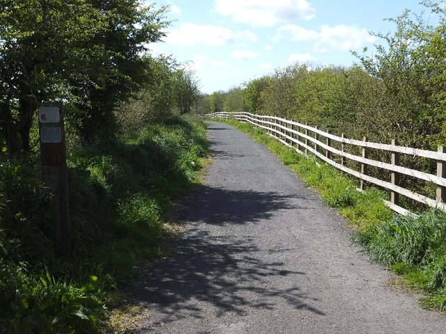
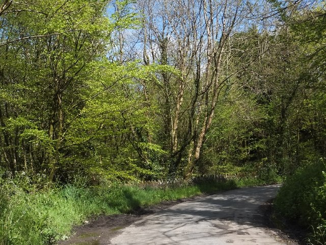
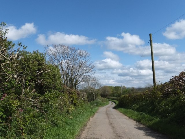
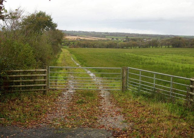
Staddon Moor is a vast expanse of moorland located in the county of Devon, England. Situated on the southern border of Dartmoor National Park, it encompasses an area of approximately 10 square kilometers. This stunning landscape is characterized by rolling hills, heather-covered moors, and scattered granite outcrops, providing a picturesque view of the surrounding countryside.
The moorland is home to a diverse range of flora and fauna, including species such as the Dartmoor pony, various types of birds, and rare plants like the yellow tormentil and the marsh gentian. Its unique ecosystem supports a rich biodiversity and is of great ecological importance.
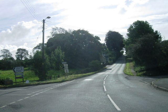
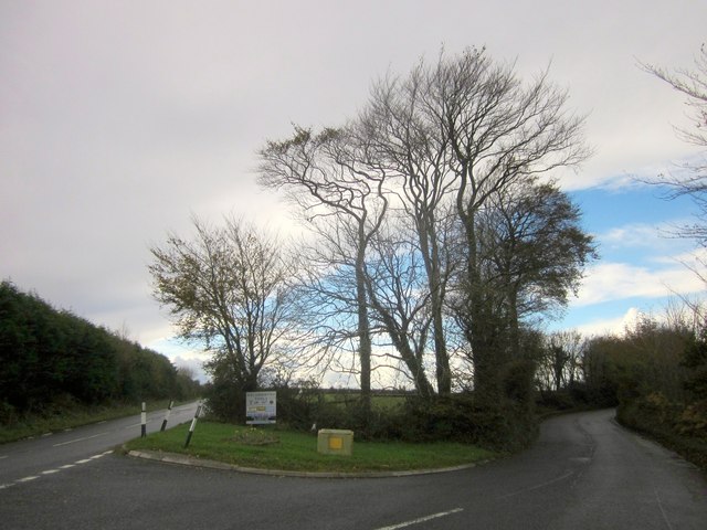
Staddon Moor offers a wealth of recreational opportunities for visitors. It features numerous footpaths and trails, allowing hikers and nature enthusiasts to explore its natural beauty. The moor is also a popular destination for birdwatching, with enthusiasts flocking to catch glimpses of species such as the skylark, stonechat, and whinchat.
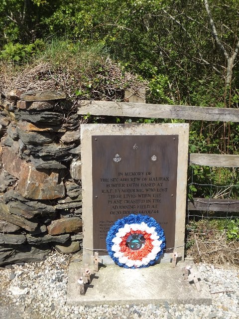
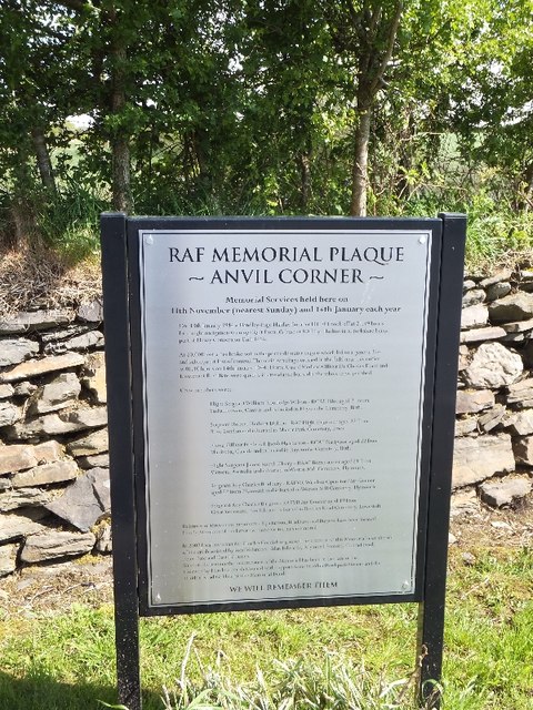
The area is steeped in history, with evidence of human activity dating back thousands of years. Ancient burial mounds and stone circles are scattered across the moor, providing a glimpse into the region's past. Additionally, the moorland has been used for farming and grazing for centuries, contributing to the cultural heritage of the area.
Overall, Staddon Moor is a captivating destination that showcases the beauty of Devon's countryside. Its untouched landscapes, diverse wildlife, and historical significance make it a must-visit location for nature lovers and history enthusiasts alike.
If you have any feedback on the listing, please let us know in the comments section below.
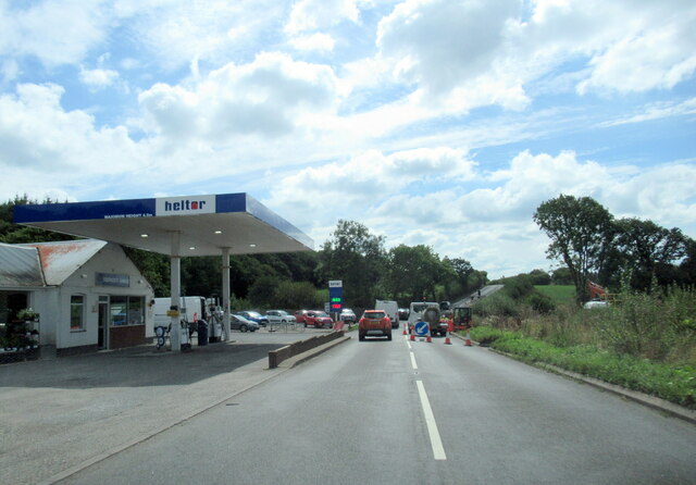
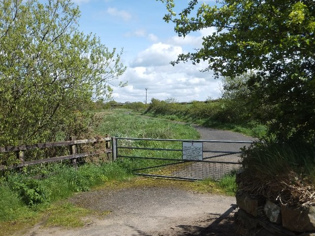
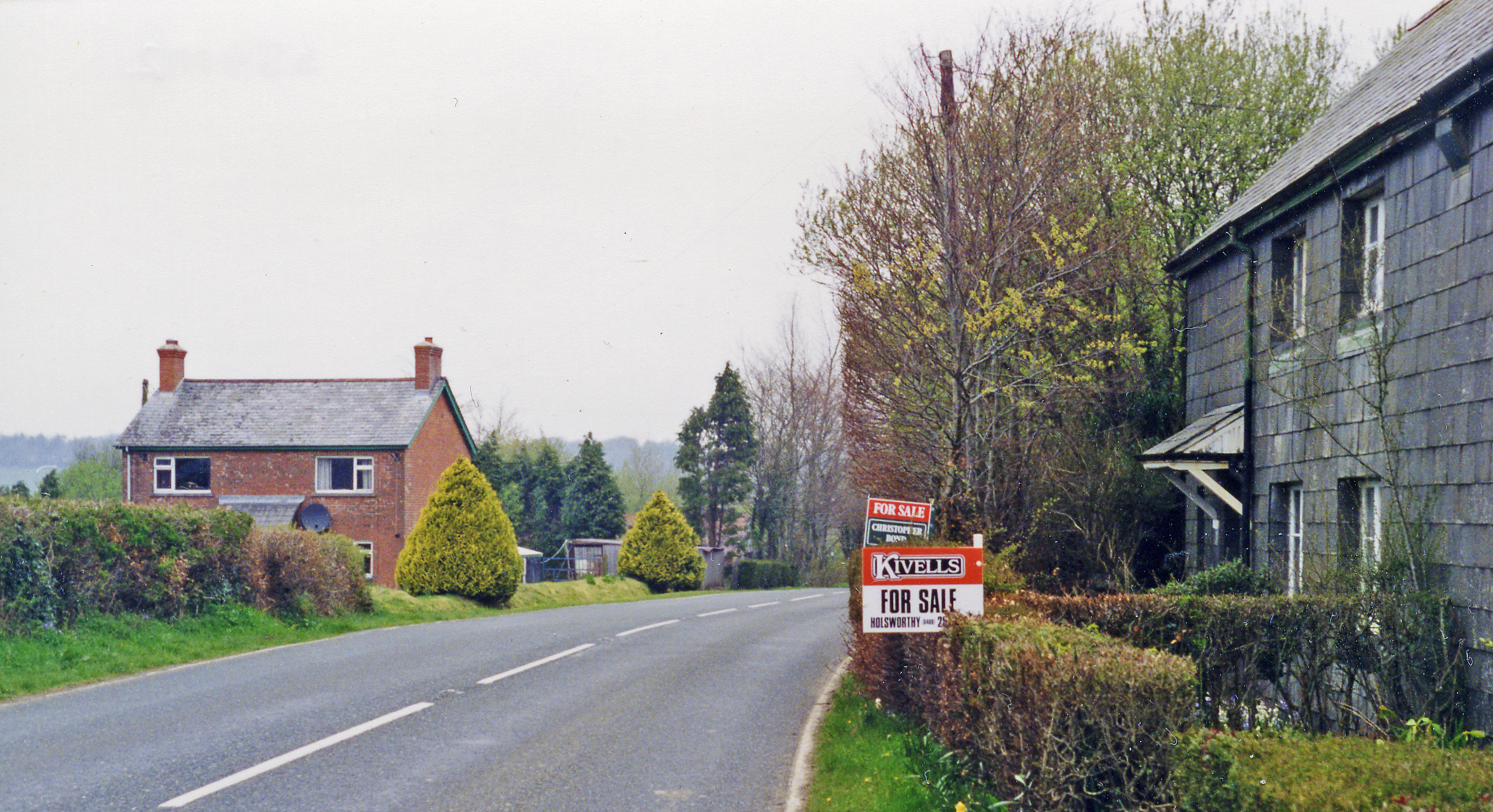
Staddon Moor Images
Images are sourced within 2km of 50.804193/-4.3239574 or Grid Reference SS3603. Thanks to Geograph Open Source API. All images are credited.


Staddon Moor is located at Grid Ref: SS3603 (Lat: 50.804193, Lng: -4.3239574)
Administrative County: Devon
District: Torridge
Police Authority: Devon and Cornwall
What 3 Words
///enough.covertly.broke. Near Holsworthy, Devon
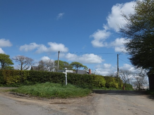
Nearby Locations
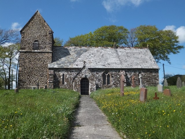
Related Wikis

Hollacombe
Hollacombe is a village and small civil parish in the local government district of Torridge, Devon, England. It lies about 3 miles south east of the town...

St Peter's and St Paul's Church, Holsworthy
St Peter's and St Paul's Church is a grade II* listed building and is the parish church of the small market town of Holsworthy, Devon, England. The present...

Holsworthy railway station
Holsworthy was a railway station in Devon, England, on the now-closed railway line from Okehampton to Bude. It opened in 1879 to serve the market town...

Holsworthy A.F.C.
Holsworthy Association Football Club is a football club based in Holsworthy, Devon, England. They play in the South West Peninsula League Premier Division...

Holsworthy
Holsworthy is a market town and civil parish in the Torridge district of Devon, England, 36 miles (58 km) west of Exeter. The River Deer, a tributary of...

Holsworthy Community College
Holsworthy Community College is a co-educational secondary school located in Holsworthy in the English county of Devon.Previously a community school administered...
Okehampton–Bude line
The Okehampton–Bude line was a railway line built to serve Holsworthy in Devon, and Bude on the Cornish coast near the Devon border in England. The line...
Dunsland Cross railway station
Dunsland Cross was a railway station on the Bude Branch that closed in 1966. Dunsland Cross station in the parish of Holsworthy was 6 miles East of the...
Nearby Amenities
Located within 500m of 50.804193,-4.3239574Have you been to Staddon Moor?
Leave your review of Staddon Moor below (or comments, questions and feedback).