Boreland Fell

Downs, Moorland in Wigtownshire

Scotland

Boreland Fell

Old milestone Another of the Wigtownshire style milestones that has had vegetation cleared from around it and a new coat of paint with the work done by a Milestone Society member.  The G is for Glen Luce with W (for Wigtown), an arrow pointing right and 5 on the left hand face.
Old milestone Credit: Jacqueline Crowther

Boreland Fell is a picturesque area located in Wigtownshire, which is a region in the southwest of Scotland. This stunning landscape is characterized by its vast downs and moorland, making it an ideal destination for outdoor enthusiasts and nature lovers alike.

Covering an area of approximately 10 square kilometers, Boreland Fell offers a diverse range of habitats, including heather-clad moorlands, rolling hills, and rocky outcrops. The area is known for its breathtaking views, with panoramic vistas of the surrounding countryside and the nearby coast.

Boreland Fell is home to a variety of wildlife, including several bird species such as red grouse, skylarks, and meadow pipits. The moorlands also provide a habitat for a range of smaller mammals and insects, adding to the rich biodiversity of the area.

The terrain of Boreland Fell offers excellent opportunities for outdoor activities such as hiking, birdwatching, and photography. Several hiking trails crisscross the landscape, allowing visitors to explore the beauty of the area while enjoying the tranquility of nature. The open expanses of downs and moorland provide a sense of freedom and solitude, making it a popular spot for those seeking a peaceful retreat.

Boreland Fell is easily accessible, with a well-maintained network of roads and footpaths leading to the area. The nearby town of Wigtown offers amenities such as accommodation, dining, and visitor information, making it a convenient base for exploring Boreland Fell and the surrounding region.

Overall, Boreland Fell in Wigtownshire is a stunning natural area that showcases the beauty and diversity of Scotland's landscape. Its downs and moorland offer a haven for wildlife and a playground for outdoor enthusiasts, making it a must-visit destination for anyone seeking an escape into nature.

If you have any feedback on the listing, please let us know in the comments section below.

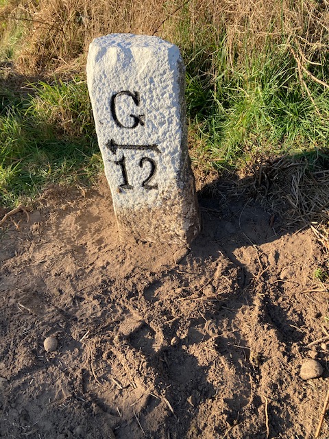
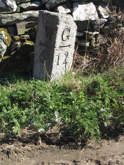
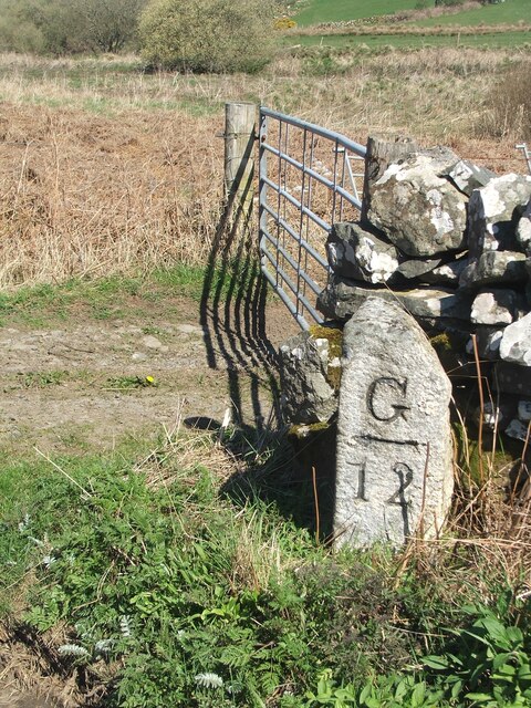
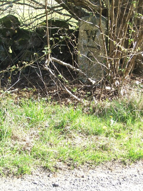
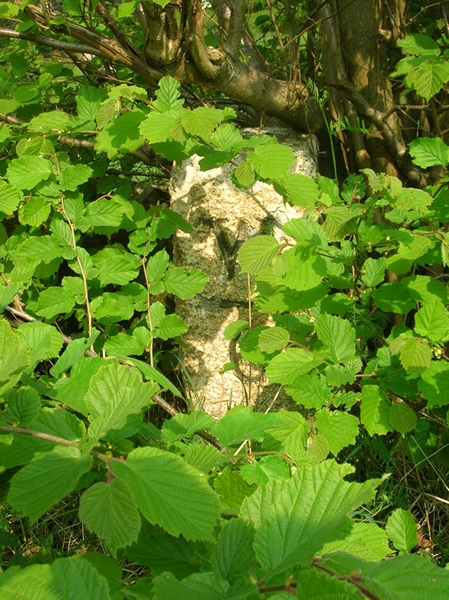
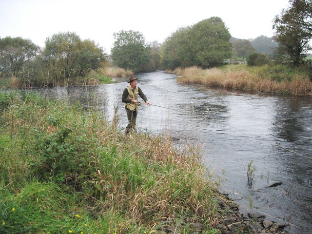
Boreland Fell Images

Images are sourced within 2km of 54.900346/-4.5830796 or Grid Reference NX3459. Thanks to Geograph Open Source API. All images are credited.

Old milestone Another of the Wigtownshire style milestones that has had vegetation cleared from around it and a new coat of paint with the work done by a Milestone Society member.  The G is for Glen Luce with W (for Wigtown), an arrow pointing right and 5 on the left hand face.
Old milestone
Another of the Wigtownshire style milestones that has had vegetation cleared from around it and a new coat of paint with the work done by a Milestone Society member. The G is for Glen Luce with W (for Wigtown), an arrow pointing right and 5 on the left hand face.
Old milestone This is the milestone on the B733 just north of the B7052 junction.   The previous photograph   <a href="https://www.geograph.org.uk/photo/7447528">NX3558 : Old milestone</a> was wrongly identified and is the milestone on the A747, 2 miles north of Port William.
Old milestone
This is the milestone on the B733 just north of the B7052 junction. The previous photograph NX3558 : Old milestone was wrongly identified and is the milestone on the A747, 2 miles north of Port William.
Old milestone Not much has changed since 2008.  The field gate is the same and the lichen encrusted wall still survives.   The mason didn't bother too much about the top and back of this milestone.
Old milestone
Not much has changed since 2008. The field gate is the same and the lichen encrusted wall still survives. The mason didn't bother too much about the top and back of this milestone.
Old milestone In May 2008 this milestone was almost hidden from view but using the milometer on my bike I knew just where to search.  In April 2023 not quite hidden.  It is just south of the Kirkchrist Lodge.   Glenluce still 11 miles away.
Old milestone
In May 2008 this milestone was almost hidden from view but using the milometer on my bike I knew just where to search. In April 2023 not quite hidden. It is just south of the Kirkchrist Lodge. Glenluce still 11 miles away.
Old milestone Another view of the milestone hidden under the bush/tree just south of Kirkchrist Lodge. G/arrow to left/11 on the unseen face.
Old milestone
Another view of the milestone hidden under the bush/tree just south of Kirkchrist Lodge. G/arrow to left/11 on the unseen face.
Old Milestone by the B733, northwest of Spittal Bridge Stone post by the B733, in parish of Kirkcowan (Wigtownshire District), North of junction with the B7052, near field gate.

Inscription reads:-
: W / {arrow-> / 5 : : G / {<-arrow} / 12 :
(To Wigtown and Glenluce)
 
Surveyed

Milestone Society National ID: DG_WGGL05
Old Milestone by the B733, northwest of Spittal Bridge
Stone post by the B733, in parish of Kirkcowan (Wigtownshire District), North of junction with the B7052, near field gate. Inscription reads:- : W / {arrow-> / 5 : : G / {<-arrow} / 12 : (To Wigtown and Glenluce) Surveyed Milestone Society National ID: DG_WGGL05
Old Milestone by the B733, south of Kirkchrist Lodge, Kirkcowan parish Stone post by the B733, in parish of Kirkcowan (Wigtownshire District), South of lodge to Kirkchrist House, hidden under hazel tree.

Inscription reads:-
: W / {arrow-&amp;gt;} / 6 : : G / {&amp;lt;-arrow} / 11 :
(To Wigtown and Glenluce) 

Surveyed

Milestone Society National ID: DG_WGGL06
Old Milestone by the B733, south of Kirkchrist Lodge, Kirkcowan parish
Stone post by the B733, in parish of Kirkcowan (Wigtownshire District), South of lodge to Kirkchrist House, hidden under hazel tree. Inscription reads:- : W / {arrow->} / 6 : : G / {<-arrow} / 11 : (To Wigtown and Glenluce) Surveyed Milestone Society National ID: DG_WGGL06
Kirkcowan Bowling Green Viewed from the B733.
Kirkcowan Bowling Green
Viewed from the B733.
Kirkcowan Bowling Green Seen from the B733.
Kirkcowan Bowling Green
Seen from the B733.
Bowling Green, Kirkcowan Viewed from the B733.
Bowling Green, Kirkcowan
Viewed from the B733.
Bowling Club, Kirkcowan As seen from the B733.
Bowling Club, Kirkcowan
As seen from the B733.
The B733 in Kirkcowan With the Bowling Green on the right.
The B733 in Kirkcowan
With the Bowling Green on the right.
Small Garden, Kirkcowan Next to the B733 (Main Street).
Small Garden, Kirkcowan
Next to the B733 (Main Street).
Old milestone Travelling towards Kirkcowan the B733 crosses the River Tarff by Johnston&amp;#039;s Bridge.   The Tarff then soon runs into the River Bladnoch a short distance to the east.   The milestone is at the northern end of the bridge.
Old milestone
Travelling towards Kirkcowan the B733 crosses the River Tarff by Johnston's Bridge. The Tarff then soon runs into the River Bladnoch a short distance to the east. The milestone is at the northern end of the bridge.
Old milestone The bridge over the river then sharp left to continue towards Wigtown.
Old milestone
The bridge over the river then sharp left to continue towards Wigtown.
Salmon fishing at the Junction Pool of the Rivers Bladnoch and Tarf The R Tarf (from the left of picture) joins the larger R Bladnoch.
Salmon fishing at the Junction Pool of the Rivers Bladnoch and Tarf
The R Tarf (from the left of picture) joins the larger R Bladnoch.
Dawn light , Kirkcowan View from Kirkcowan at dawn,looking east.
Dawn light , Kirkcowan
View from Kirkcowan at dawn,looking east.
Doctors Surgery, Kirkcowan
Show me another place!

Boreland Fell is located at Grid Ref: NX3459 (Lat: 54.900346, Lng: -4.5830796)

Unitary Authority: Dumfries and Galloway

Police Authority: Dumfries and Galloway

What 3 Words

///extreme.unsightly.save. Near Newton Stewart, Dumfries & Galloway

Related Wikis

Kirkcowan

Kirkcowan is an area about 15 miles in length, and from nearly two to nearly seven miles in breadth, comprising 30,580 acres, of which 7000 are arable...

Kirkcowan railway station

Kirkcowan railway station served the village of Kirkcowan, Dumfries and Galloway, Scotland from 1861 to 1965 on the Portpatrick and Wigtownshire Joint...

Torhouse

The Standing Stones of Torhouse (also Torhousekie) are a stone circle of nineteen granite boulders on the land of Torhouse, three miles west of Wigtown...

Mains of Penninghame Platform railway station

Mains of Penninghame Platform railway station (NX410617) was a halt on the Wigtownshire Railway branch line, from Newton Stewart to Whithorn, of the Portpatrick...

Nearby Amenities

Located within 500m of 54.900346,-4.5830796
Power: pole
Lat/Long: 54.9025581/-4.5897482
Power: pole
Lat/Long: 54.9018029/-4.590327
The data included in this document is from www.openstreetmap.org. The data is made available under ODbL.

Have you been to Boreland Fell?

Leave your review of Boreland Fell below (or comments, questions and feedback).