Shewalton Moss
Downs, Moorland in Ayrshire
Scotland
Shewalton Moss
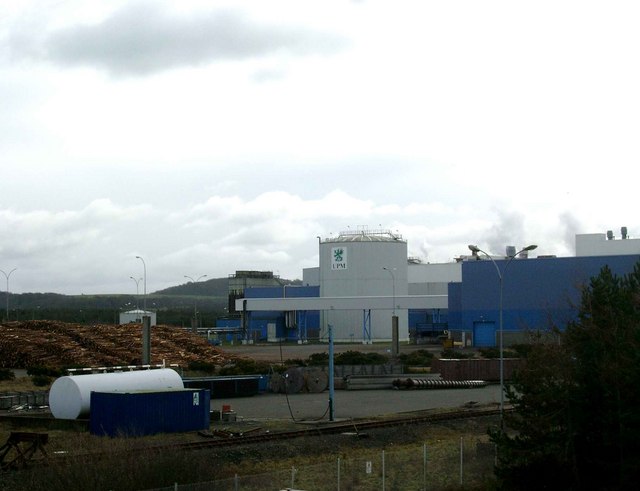
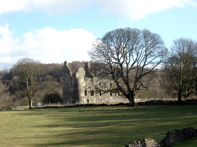
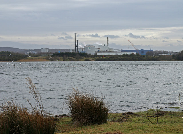
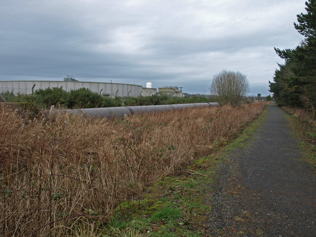
Shewalton Moss is a vast expanse of land located in Ayrshire, Scotland. Covering an area of approximately 2,000 acres, it is primarily characterized by its unique combination of downs and moorland. The moss is situated in close proximity to the town of Irvine and is spread along the banks of the River Irvine.
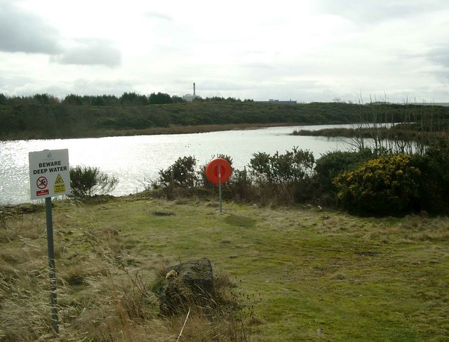
The downs of Shewalton Moss are characterized by gently sloping hills and grasslands, providing a picturesque landscape. These downs are often used for grazing livestock, particularly sheep and cattle, due to the abundance of rich grasses and vegetation. The moorland, on the other hand, is characterized by its wet and boggy terrain, consisting of peat and heather. This type of landscape is known for its role in water retention and providing a habitat for various wildlife species.
Shewalton Moss is home to a diverse range of flora and fauna. The grasslands support a variety of plant species, including wildflowers such as harebell and heath bedstraw. The moorland provides a habitat for several bird species, such as curlews, lapwings, and skylarks, which can be spotted throughout the year.
The moss also holds historical significance, with evidence of human occupation dating back thousands of years. Archaeological finds, including prehistoric tools and burial mounds, indicate that the area has been inhabited since ancient times.
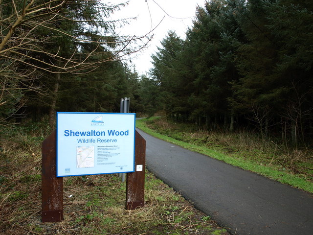
Shewalton Moss is a popular destination for nature enthusiasts, offering opportunities for hiking, birdwatching, and exploring the diverse landscapes of downs and moorland. With its rich biodiversity and scenic beauty, it is truly a remarkable natural treasure in Ayrshire.
If you have any feedback on the listing, please let us know in the comments section below.
Shewalton Moss Images
Images are sourced within 2km of 55.584684/-4.6263244 or Grid Reference NS3435. Thanks to Geograph Open Source API. All images are credited.

Shewalton Moss is located at Grid Ref: NS3435 (Lat: 55.584684, Lng: -4.6263244)
Unitary Authority: North Ayrshire
Police Authority: Ayrshire
What 3 Words
///urban.early.stays. Near Dundonald, South Ayrshire
Nearby Locations
Related Wikis

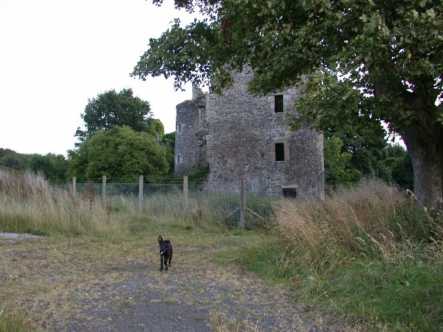
Shewalton House and estate
Shewalton House and estate were composed of the 'Lands of Shewalton' and the laird's dwelling, originally a tower castle and later a mansion house on the...

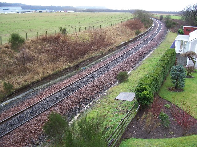
Drybridge railway station
Drybridge railway station was a railway station serving the village of Drybridge, North Ayrshire, Scotland. == History == The station was opened on 6 July...

Drybridge
Drybridge is a small village in North Ayrshire, Scotland. Drybridge is thus named because of the "dry bridge" over the Kilmarnock and Troon Railway, opened...
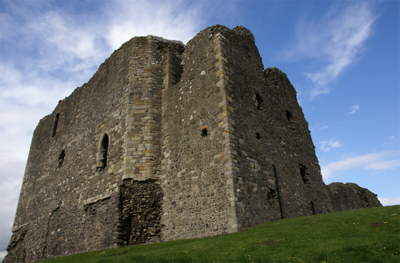
Dundonald Castle
Dundonald Castle is situated on a hill overlooking the village of Dundonald, between Kilmarnock and Troon in South Ayrshire, Scotland. Dundonald Castle...
Related Videos

Shewalton woods nature walk
Ayrshire nature walk... my first time here.. was lovely.. muddy but lovely.

Charlie and Susan Oot&aboot at Dundonald castle 2of3
Tour guide around King Robert the Bruce's ll Castle at Dundonald then onto Troon : good day out if your going !


Charlie and Susan Oot&aboot Dundonald castle 1of3
Wee day trip to Dundonald castle , then onto Troon beach : parked at the same place as our last video :
Nearby Amenities
Located within 500m of 55.584684,-4.6263244Have you been to Shewalton Moss?
Leave your review of Shewalton Moss below (or comments, questions and feedback).