Woodside Meadows

Downs, Moorland in Ayrshire

Scotland

Woodside Meadows

Loanhead Quarry from the air The whinstone quarry is on the outskirts of Beith, with Beith Golf Club visible on the far side. The left side of the quarry, as seen in this photo, is an active quarry, whereas the right side is a landfill site for inert soils, which are being used to infill the quarry void. The dolerite dyke which separates these two areas of the quarry can be seen by following the line of the access road into the quarry, where it is located beyond a Nissen hut.

To give some idea of the scale, the quarry is around 900 metres wide at the widest point.

Further interesting reading about the quarry and surrounding area geology and the minerals found there can be found at <span class="nowrap"><a title="https://www.mindat.org/loc-3035.html" rel="nofollow ugc noopener" href="https://www.mindat.org/loc-3035.html">Link</a><img style="margin-left:2px;" alt="External link" title="External link - shift click to open in new window" src="https://s1.geograph.org.uk/img/external.png" width="10" height="10"/></span> and <span class="nowrap"><a title="http://earthwise.bgs.ac.uk/index.php/Loanhead_Quarry_-_an_excursion" rel="nofollow ugc noopener" href="http://earthwise.bgs.ac.uk/index.php/Loanhead_Quarry_-_an_excursion">Link</a><img style="margin-left:2px;" alt="External link" title="External link - shift click to open in new window" src="https://s1.geograph.org.uk/img/external.png" width="10" height="10"/></span> .
Loanhead Quarry from the air Credit: Thomas Nugent

Woodside Meadows is a picturesque area located in Ayrshire, a historic county in southwest Scotland. Situated amidst the stunning landscapes of Downs and Moorland, Woodside Meadows offers a tranquil and idyllic setting for nature enthusiasts and outdoor lovers alike.

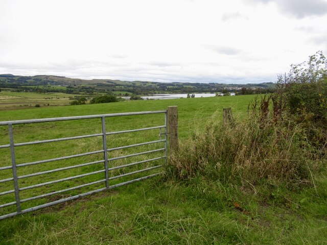
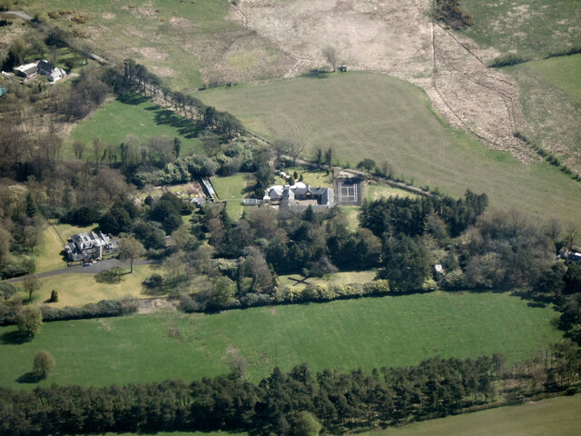
Covering a vast expanse of land, Woodside Meadows is characterized by its rolling hills, lush green fields, and diverse wildlife. The area is known for its rich biodiversity, with an array of plant and animal species calling it home. Visitors can expect to encounter a variety of bird species, including red grouse and skylarks, as well as majestic deer roaming freely in the open meadows.

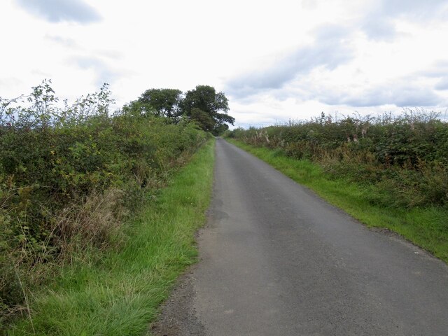
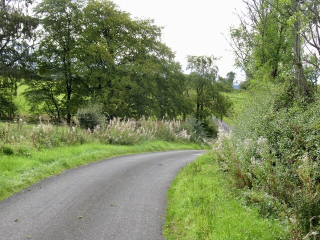
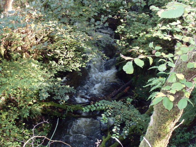
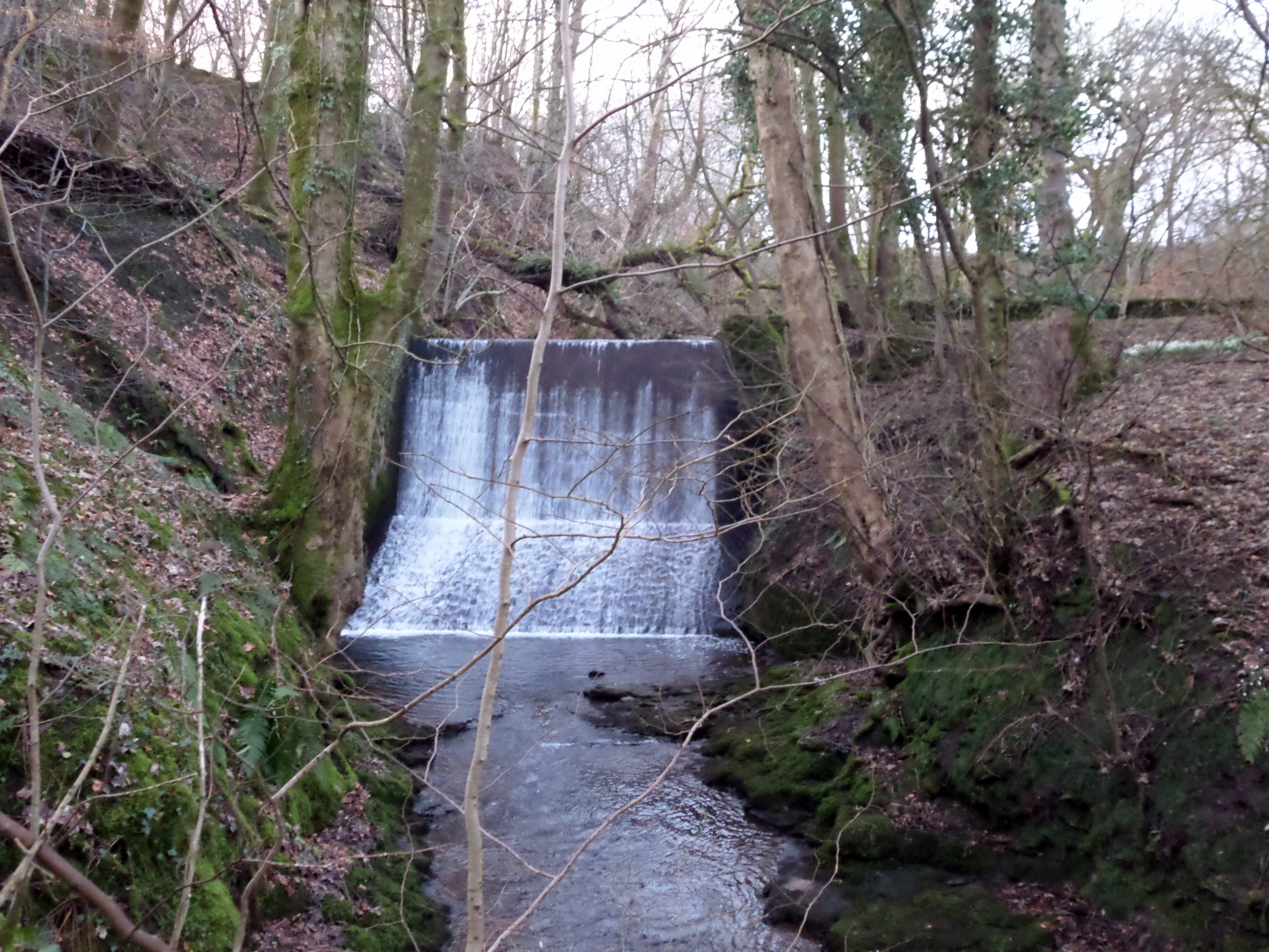
The landscape of Woodside Meadows is a mix of open grasslands, heather-covered moors, and scattered woodlands. The combination of these habitats provides a unique and diverse environment, offering opportunities for hiking, walking, and exploring the natural wonders of the area. The meadows are also dotted with small streams and ponds, adding to the overall charm and beauty of the surroundings.

Woodside Meadows is a haven for outdoor activities, such as horseback riding, mountain biking, and picnicking. Its vast open spaces make it an ideal location for recreational pursuits, where visitors can enjoy the fresh air and stunning views of the surrounding countryside.

In conclusion, Woodside Meadows in Ayrshire is a natural paradise, offering a serene escape from the hustle and bustle of modern life. With its breathtaking landscapes, diverse wildlife, and ample outdoor activities, it is a must-visit destination for those seeking to immerse themselves in the beauty of nature.

If you have any feedback on the listing, please let us know in the comments section below.

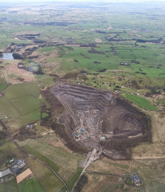
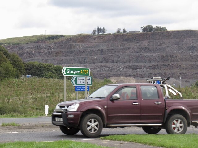
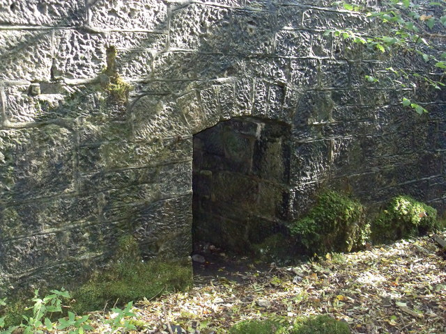
Woodside Meadows Images

Images are sourced within 2km of 55.769882/-4.6423748 or Grid Reference NS3456. Thanks to Geograph Open Source API. All images are credited.

Loanhead Quarry from the air The whinstone quarry is on the outskirts of Beith, with Beith Golf Club visible on the far side. The left side of the quarry, as seen in this photo, is an active quarry, whereas the right side is a landfill site for inert soils, which are being used to infill the quarry void. The dolerite dyke which separates these two areas of the quarry can be seen by following the line of the access road into the quarry, where it is located beyond a Nissen hut.

To give some idea of the scale, the quarry is around 900 metres wide at the widest point.

Further interesting reading about the quarry and surrounding area geology and the minerals found there can be found at <span class="nowrap"><a title="https://www.mindat.org/loc-3035.html" rel="nofollow ugc noopener" href="https://www.mindat.org/loc-3035.html">Link</a><img style="margin-left:2px;" alt="External link" title="External link - shift click to open in new window" src="https://s1.geograph.org.uk/img/external.png" width="10" height="10"/></span> and <span class="nowrap"><a title="http://earthwise.bgs.ac.uk/index.php/Loanhead_Quarry_-_an_excursion" rel="nofollow ugc noopener" href="http://earthwise.bgs.ac.uk/index.php/Loanhead_Quarry_-_an_excursion">Link</a><img style="margin-left:2px;" alt="External link" title="External link - shift click to open in new window" src="https://s1.geograph.org.uk/img/external.png" width="10" height="10"/></span> .
Loanhead Quarry from the air
The whinstone quarry is on the outskirts of Beith, with Beith Golf Club visible on the far side. The left side of the quarry, as seen in this photo, is an active quarry, whereas the right side is a landfill site for inert soils, which are being used to infill the quarry void. The dolerite dyke which separates these two areas of the quarry can be seen by following the line of the access road into the quarry, where it is located beyond a Nissen hut. To give some idea of the scale, the quarry is around 900 metres wide at the widest point. Further interesting reading about the quarry and surrounding area geology and the minerals found there can be found at LinkExternal link and LinkExternal link .
Clerksbridge Toll roundabout Loanhead Quarry in the background.
Clerksbridge Toll roundabout
Loanhead Quarry in the background.
Alter Supplies, Park Farm Off Clerksbridge Toll Roundabout.
Alter Supplies, Park Farm
Off Clerksbridge Toll Roundabout.
Field, Roebank
Field, Roebank
Road to Netherhouses
Road crossing the Yardfoot Burn
Grangehill from the air With Threepwood Road beyond.
Grangehill from the air
With Threepwood Road beyond.
Wilson Street, Beith We look along the street from the bus stop opposite the former Beith Trinity Church.
Wilson Street, Beith
We look along the street from the bus stop opposite the former Beith Trinity Church.
Rhaposody in Blue Modern Floribunda cluster rose. Great scent.
Rhaposody in Blue
Modern Floribunda cluster rose. Great scent.
Loanhead waterfall Loanhead waterfall next to A737 in Beith, Ayrshire taken 28/9/11
Loanhead waterfall
Loanhead waterfall next to A737 in Beith, Ayrshire taken 28/9/11
Clarks Bridge/ Dam, Beith Clarks bridge Beith
Clarks Bridge/ Dam, Beith
Clarks bridge Beith
Old chimney next to  the Barr Loch The chimney is all that is left of the woodmill which supplied timber to the Garthland estate
Old chimney next to the Barr Loch
The chimney is all that is left of the woodmill which supplied timber to the Garthland estate
Peacock butterfly on Lochwinnoch cycle track
Winter Sunset, Garnock Valley View from Roebank Rd. Beith. Goatfell, Arran can be spotted on the skyline. Also the wind turbines that seem to be sprouting up all along these hills.
Winter Sunset, Garnock Valley
View from Roebank Rd. Beith. Goatfell, Arran can be spotted on the skyline. Also the wind turbines that seem to be sprouting up all along these hills.
East Woodside Lodge, Beith Minor road junction on what is known locally as 'Round the back of the woods@.
East Woodside Lodge, Beith
Minor road junction on what is known locally as 'Round the back of the woods@.
Roebank Burn, Beith Roebank Bridge carries a minor road over the burn. The burn forms part of the boundary between Renfrewshire and Ayrshire.
Roebank Burn, Beith
Roebank Bridge carries a minor road over the burn. The burn forms part of the boundary between Renfrewshire and Ayrshire.
Quarry Wood, Beith Reflections on flood water.
Quarry Wood, Beith
Reflections on flood water.
Rough track, Beith Giving the farmer access to the fields from Muirburn Road.
Rough track, Beith
Giving the farmer access to the fields from Muirburn Road.
Show me another place!

Woodside Meadows is located at Grid Ref: NS3456 (Lat: 55.769882, Lng: -4.6423748)

Unitary Authority: North Ayrshire

Police Authority: Ayrshire

What 3 Words

///worthy.noting.education. Near Beith, North Ayrshire

Related Wikis

Beith North railway station

Beith North railway station was a railway station serving the north of the town of Beith, North Ayrshire, Scotland. The station was originally part of...

Meikle Millbank Mill

Millbank Mill or Meikle Millbank Mill was an old corn mill in Burnbank Glen overlooking the Barr Loch near Lochwinnoch in Renfrewshire, south-west Scotland...

Beith

Beith is a small town in the Garnock Valley, North Ayrshire, Scotland approximately 20 miles (30 kilometres) south-west of Glasgow. The town is situated...

Bellsdale Park

Bellsdale Park is a football ground in Beith, Scotland. It was the home ground of Beith F.C. during their time in the Scottish Football League, and is...

Have you been to Woodside Meadows?

Leave your review of Woodside Meadows below (or comments, questions and feedback).